National Seashore and Lakeshore · NPS · CA
Point Reyes National Seashore
Photo: NPS/A. Kopshever, Point Reyes Lighthouse
Alerts and conditions
Weather Coastal Flood Advisory issued November 8 at 12:05PM PST until November 10 at 12:00PM PST by NWS San Francisco CA
* WHAT...For the Coastal Flood Advisory, up to 1.6 ft of
inundation above ground level is possible in low-lying areas
near shorelines and tidal waterways. For the Beach Hazards
Statement, an increased risk for sneaker waves and strong rip
currents with breaking waves of 12 to 16 ft expected.
* WHERE...Pacific Coast.
* WHEN...For the Beach Hazards Statement through Monday evening.
For the Coastal Flood Advisory, through noon PST Tuesday.
* IMPACTS...Waves can sweep across the shoreline without
warning, pulling people into the sea from beaches, jetties,
and rocks.
* ADDITIONAL DETAILS...At the San Francisco tide gauge, high tide
is expected to be: 1.5 ft above normal (7.3 ft MLLW) at 10:35
AM Monday 11/9, 1.5 ft above normal (7.3 ft MLLW) at 11:04 AM
Tuesday 11/10. These predictions include up to 1.2 ft of surge
that will enhance the astronomical tide and flooding threat.
High tide varies up to 90 minutes earlier or later along the
Pacific Coast and through the San Francisco Bay, respectively.
What to do: If travel is required, allow extra time as some roads may be closed. Do not drive around barricades or through water of unknown depth. Take the necessary actions to protect flood-prone property. Stay off of jetties, piers, rocks, and other waterside infrastructure. Remain out of the water to avoid hazardous surf and NEVER turn your back on the ocean. Monitor local weather, surf and tide forecasts at www.weather.gov/mtr.
Read the full alert · Until Nov 10, 2026, 8:00 PM
Weather Beach Hazards Statement issued November 8 at 12:05PM PST until November 9 at 10:00PM PST by NWS San Francisco CA
* WHAT...For the Coastal Flood Advisory, up to 1.6 ft of
inundation above ground level is possible in low-lying areas
near shorelines and tidal waterways. For the Beach Hazards
Statement, an increased risk for sneaker waves and strong rip
currents with breaking waves of 12 to 16 ft expected.
* WHERE...Pacific Coast.
* WHEN...For the Beach Hazards Statement through Monday evening.
For the Coastal Flood Advisory, through noon PST Tuesday.
* IMPACTS...Waves can sweep across the shoreline without
warning, pulling people into the sea from beaches, jetties,
and rocks.
* ADDITIONAL DETAILS...At the San Francisco tide gauge, high tide
is expected to be: 1.5 ft above normal (7.3 ft MLLW) at 10:35
AM Monday 11/9, 1.5 ft above normal (7.3 ft MLLW) at 11:04 AM
Tuesday 11/10. These predictions include up to 1.2 ft of surge
that will enhance the astronomical tide and flooding threat.
High tide varies up to 90 minutes earlier or later along the
Pacific Coast and through the San Francisco Bay, respectively.
What to do: If travel is required, allow extra time as some roads may be closed. Do not drive around barricades or through water of unknown depth. Take the necessary actions to protect flood-prone property. Stay off of jetties, piers, rocks, and other waterside infrastructure. Remain out of the water to avoid hazardous surf and NEVER turn your back on the ocean. Monitor local weather, surf and tide forecasts at www.weather.gov/mtr.
Read the full alert · Until Nov 10, 2026, 6:00 AM
Overview
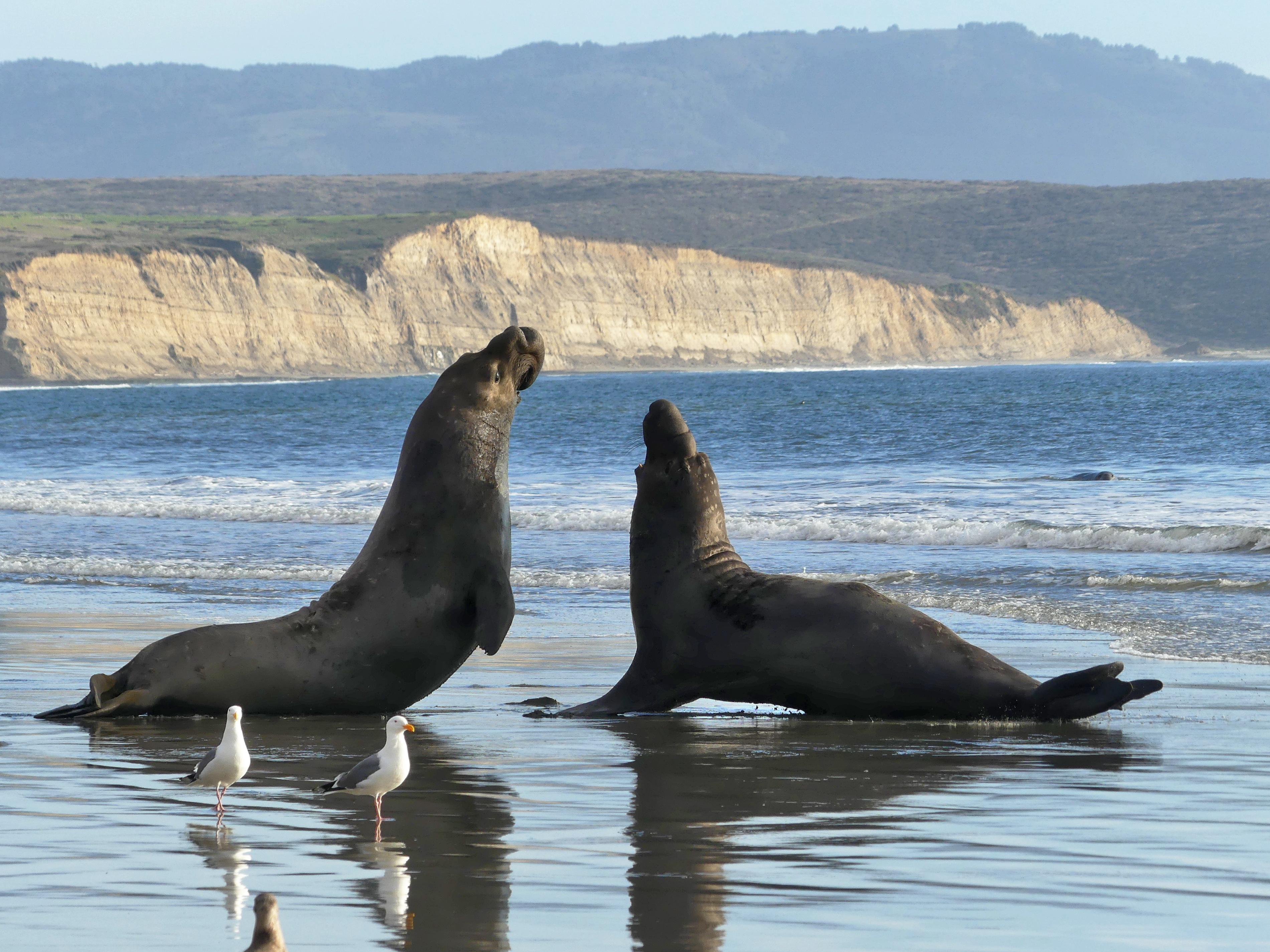
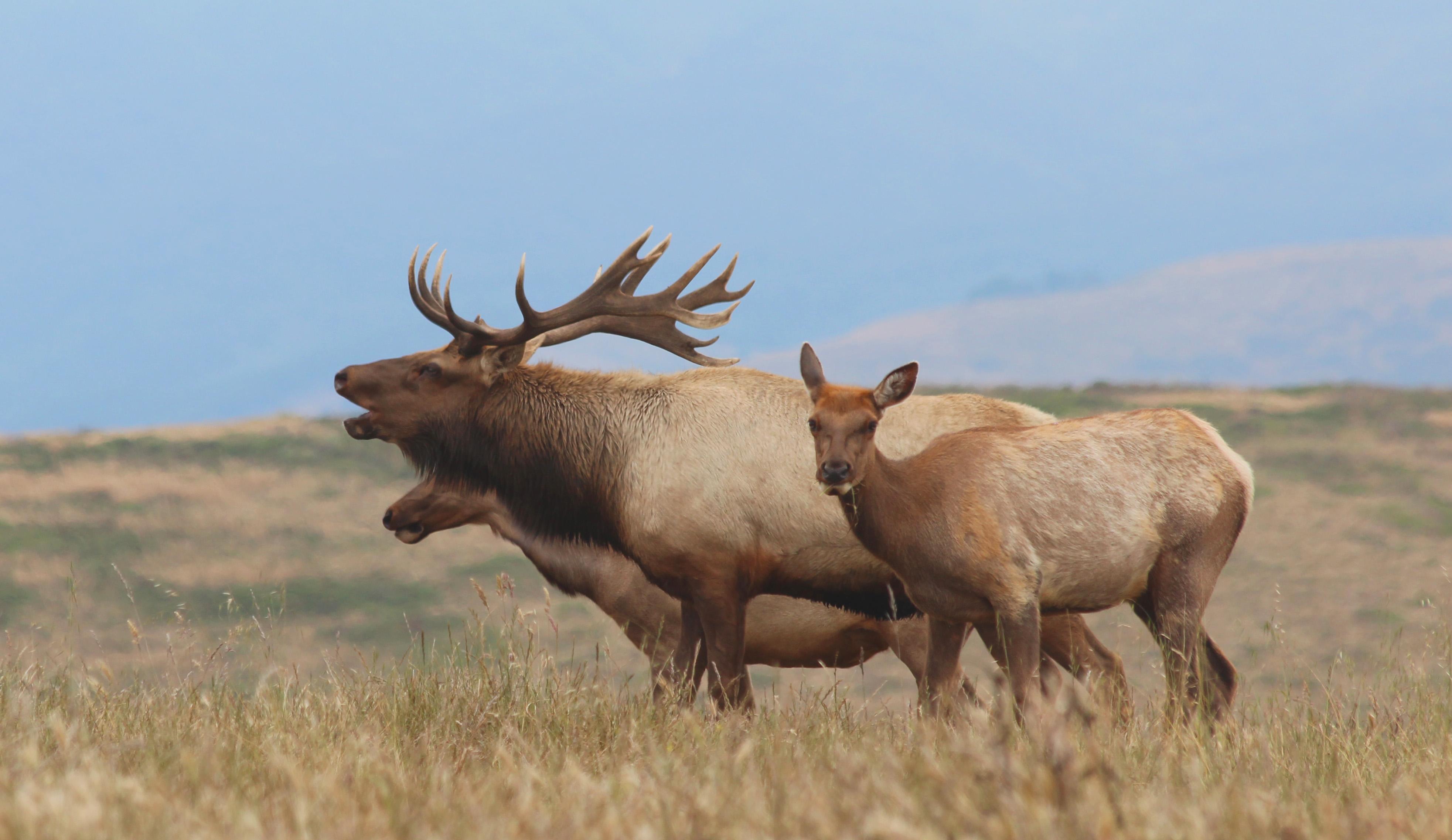
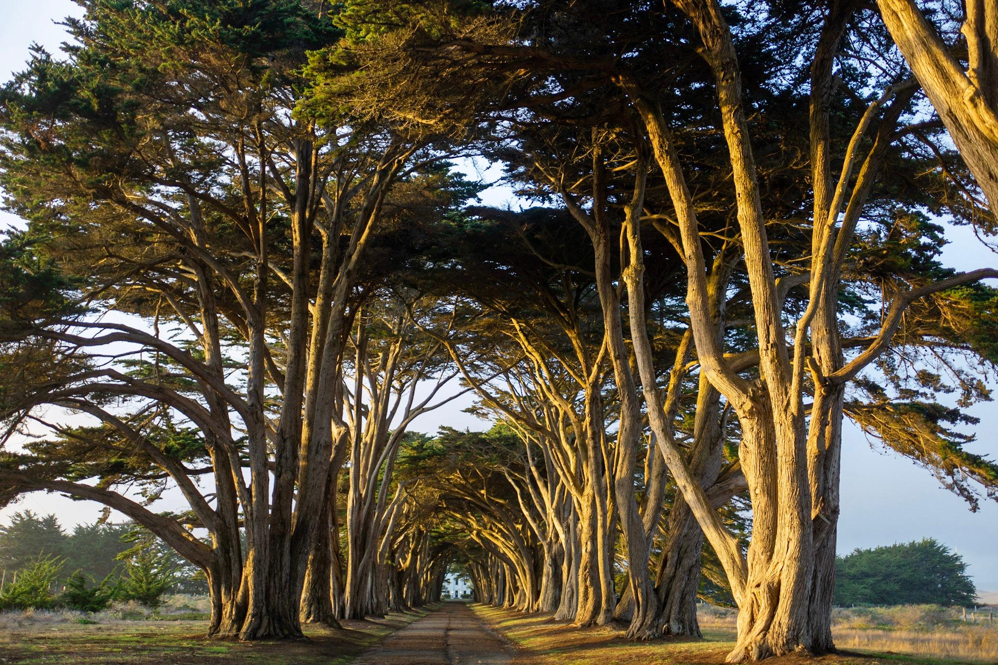
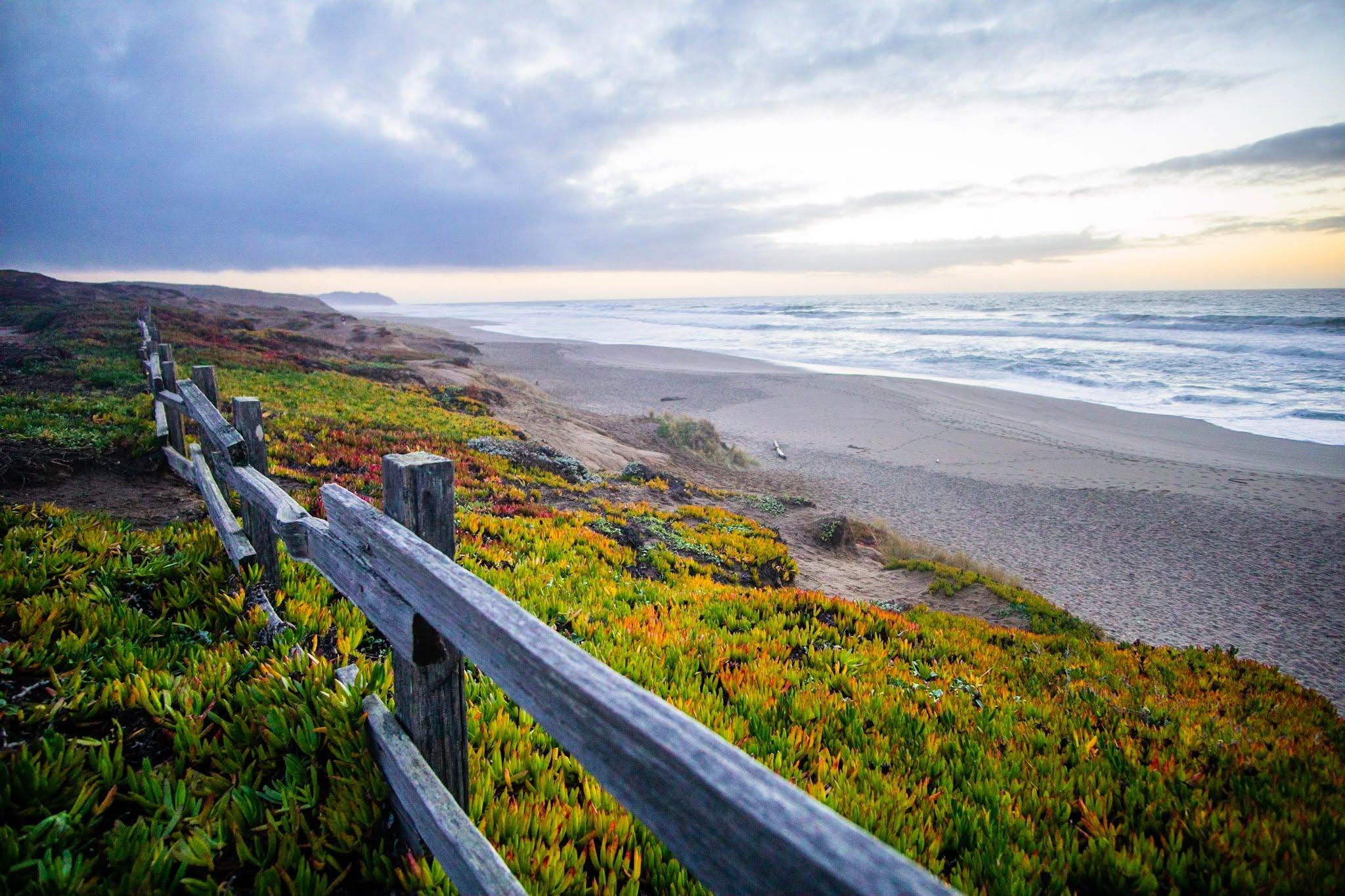
From its thunderous ocean breakers crashing against rocky headlands and expansive sand beaches to its open grasslands, brushy hillsides, and forested ridges, Point Reyes offers visitors over 1500 species of plants and animals to discover. Home to several cultures over thousands of years, the Seashore preserves a tapestry of stories and interactions of people. Point Reyes awaits your exploration.
From the National Park Service
History
The designation history for this site (every law, proclamation and order, and the administration behind each) is being researched and checked by the Library’s historians.
What to see and do
Activities
- Biking
- Camping
- Backcountry Camping
- Canoe or Kayak Camping
- Fishing
- Food
- Picnicking
- Guided Tours
- Hiking
- Horse Trekking
- Horseback Riding
- Paddling
- Kayaking
- Junior Ranger Program
- Wildlife Watching
- Park Film
- Shopping
- Bookstore and Park Store
Plan your visit
Hours
Point Reyes National Seashore: Point Reyes National Seashore is open to visitors every day of the year! The park is open from 6 am to midnight. (Visit our Visitor Centers web page, for the hours for the Bear Valley Visitor Center, the Kenneth C. Patrick Visitor Center at Drakes Beach, and the Point Reyes Lighthouse and the stairs leading down to the lighthouse.) Overnight parking is only permitted in the park with a valid backcountry camping permit or for visitors staying at the Point Reyes Hostel.
Getting there
Point Reyes is located along the west coast of California approximately 30 miles (50 km) north of San Francisco. Travelers may approach the park from the winding scenic Highway 1, either from the north or the south. Visitors can also reach the park via Sir Francis Drake Boulevard or the Point Reyes/Petaluma Road.
Visitor centers
Campgrounds
- Glen Campground (12 sites) — reserve
- Sky Campground (12 sites) — reserve
- Wildcat Campground (8 sites) — reserve
- Coast Campground (14 sites) — reserve
- Tomales Bay Boat-in Camping (20 sites) — reserve
Weather
The moderating influence of the Pacific Ocean creates a climate with no great extremes of heat or cold. Any season can bring interesting weather during your visit to Point Reyes National Seashore. Come prepared!
Phone: 415-464-5100
Whose lands these are
These lands are the ancestral and present-day homelands of Native nations. A section on whose lands these are is being prepared with tribal review. In the meantime, Native Land Digital offers a starting point.
Photos
Pair it with
- Muir Woods National Monument NPS · 20 miles
- Golden Gate National Recreation Area NPS · 20 miles
- Marin Islands National Wildlife Refuge FWS · 23 miles
- Farallon Islands National Wildlife Refuge FWS · 25 miles
- San Pablo Bay National Wildlife Refuge FWS · 27 miles
- Fort Point National Historic Site NPS · 28 miles