Historic Site and Historical Park · NPS · MA, RI, CT, NY, NJ, PA, DE, MD, VA, DC
Washington-Rochambeau Revolutionary Route National Historic Trail
Photo: NPS Photo, Historic Gloucester Courthouse at Sunrise
Alerts and conditions
Overview
This 680-mile-long trail follows the paths taken by George Washington's Continental Army and Jean-Baptiste de Rochambeau's Expédition Particulière during their 1781 march from Newport, Rhode Island, to Yorktown, Virginia. France's support in America's struggle for independence was vital to victory at Yorktown. The trail commemorates that victory and the lasting Franco-American friendship.
From the National Park Service
History
The designation history for this site (every law, proclamation and order, and the administration behind each) is being researched and checked by the Library’s historians.
Plan your visit
Hours
Washington-Rochamebeau National Historic Trail: There are many historic sites, museums, and parks (federal, state, and local) along the Trail. Operating hours will vary from site to site. We recommend contacting the individual sites for specific information.
Getting there
The Washington-Rochambeau Revolutionary Route National Historic Trail encompasses over 680 miles of land and water trails through Rhode Island, Massachusetts, Connecticut, New York, New Jersey, Pennsylvania, Delaware, Maryland, Washington D.C., and Virginia
Weather
With over 680 miles of land and water trails and hundreds of historical sites, there is a wide variety in weather. Please check with your favorite weather website before traveling.
Whose lands these are
These lands are the ancestral and present-day homelands of Native nations. A section on whose lands these are is being prepared with tribal review. In the meantime, Native Land Digital offers a starting point.
Photos

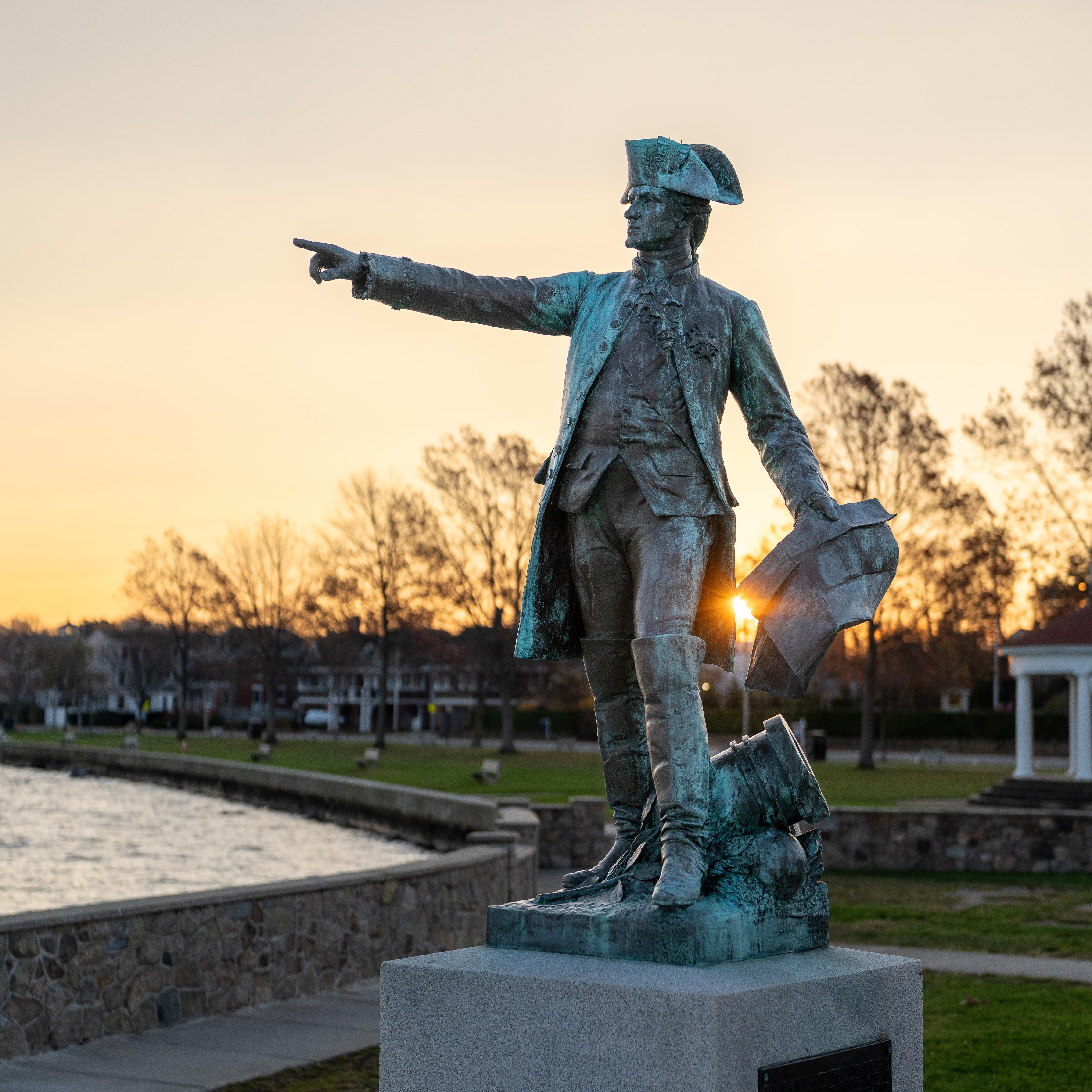
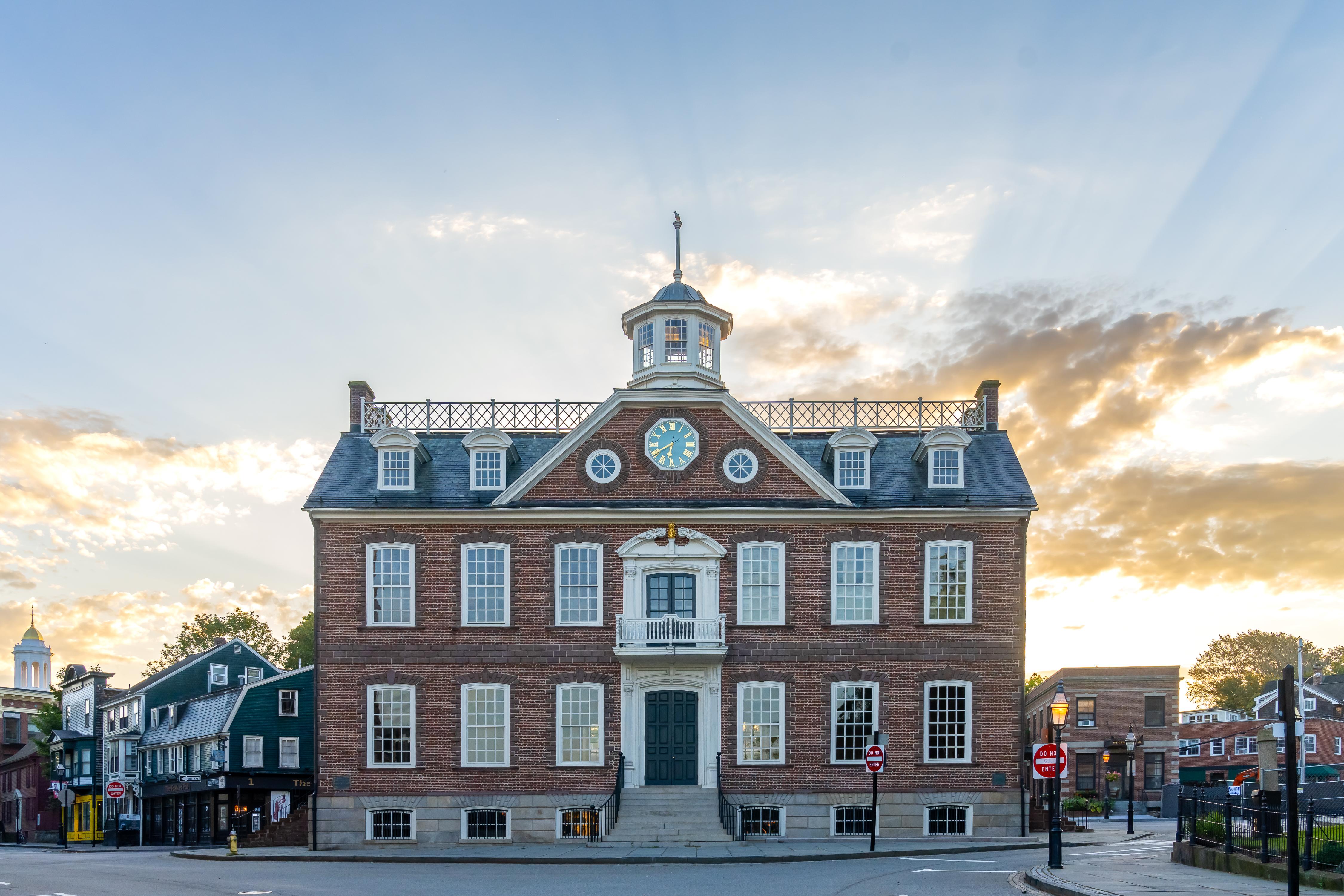
Pair it with
- New Jersey Pinelands National Reserve NPS · 16 miles
- Edgar Allan Poe National Historic Site NPS · 18 miles
- Gloria Dei Church National Historic Site NPS · 19 miles
- Independence National Historical Park NPS · 19 miles
- Thaddeus Kosciuszko National Memorial NPS · 19 miles
- Lower Delaware National Wild and Scenic River NPS · 22 miles