Wild, Scenic and National River · NPS · PA, NJ
Lower Delaware National Wild and Scenic River
Photo: NPS Photo/Julia Bell, Delaware Canal at Raubsville, Locks 22 & 23
Alerts and conditions
Overview
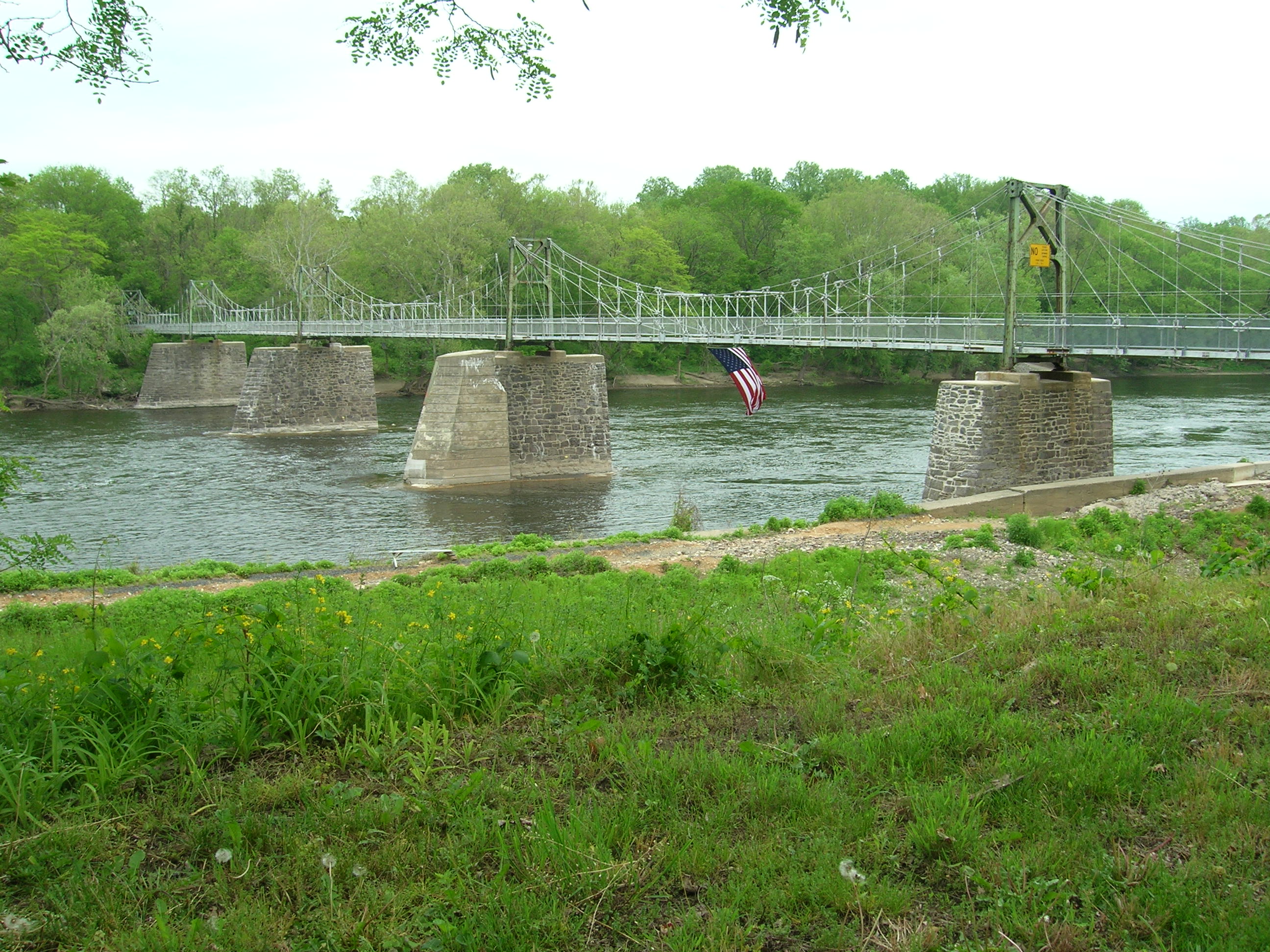
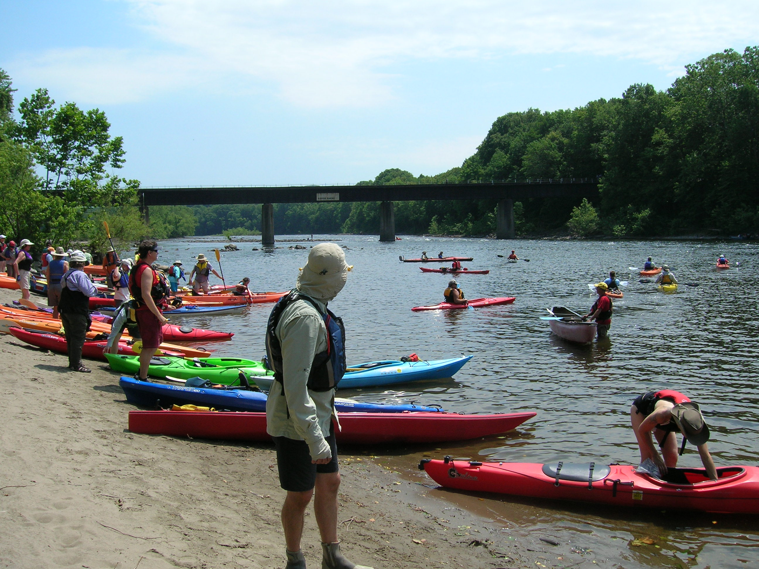
The Delaware River, the largest free-flowing river in the eastern United States, runs past forests, farmlands and villages. It also links some of the most densely populated regions in America. In 2000, the National Wild and Scenic River System incorporated key segments of the lower Delaware River to form this unit of the National Park System.
From the National Park Service
History
The designation history for this site (every law, proclamation and order, and the administration behind each) is being researched and checked by the Library’s historians.
What to see and do
Activities
- Auto and ATV
- Scenic Driving
- Boating
- Camping
- Fishing
- Food
- Picnicking
- Hiking
- Paddling
- Junior Ranger Program
Plan your visit
Hours
Lower Delaware National Wild and Scenic River: The largest free-flowing river in the eastern United States, the Delaware River runs past forests, farmlands, and villages, and it also links some of the most densely populated regions in America. In 2000, the National Wild and Scenic River System incorporated key segments of the lower Delaware River to form this unit of the National Park System.
Getting there
The Lower Delaware National Wild and Scenic River is located between Interstate 80 (at Portland, Pennsylvania and Columbia, New Jersey) and Interstate 95 (at exit 51 in Washington Crossing, Pennsylvania and exit 1 in Washington Crossing, New Jersey). In Pennsylvania, follow PA-611 and PA-32 to drive along the river. In New Jersey, follow NJ-29 south of Frenchtown for a drive along the river.
Weather
Spring: Temperatures usually range from lows of 26 F to highs of 80 F with average rainfall of 5 inches. Summer: Temperatures usually range from lows of 55 F to highs of 85 F with average rainfall of 4 inches. Fall: Temperatures usually range from lows of 30 F to highs of 83F. Fall foliage is at its peak sometime in October as daily mountain temperatures vary frequently and influence the change. Winter: Temperatures usually range from lows of 15 F to highs of 49 F.
Phone: 617-981-0466
Whose lands these are
These lands are the ancestral and present-day homelands of Native nations. A section on whose lands these are is being prepared with tribal review. In the meantime, Native Land Digital offers a starting point.
Photos
Pair it with
- Washington-Rochambeau Revolutionary Route National Historic Trail NPS · 22 miles
- Edgar Allan Poe National Historic Site NPS · 32 miles
- Valley Forge National Historical Park NPS · 32 miles
- Independence National Historical Park NPS · 32 miles
- Thaddeus Kosciuszko National Memorial NPS · 33 miles
- Gloria Dei Church National Historic Site NPS · 34 miles