Wild, Scenic and National River · NPS · MO
Ozark National Scenic Riverways
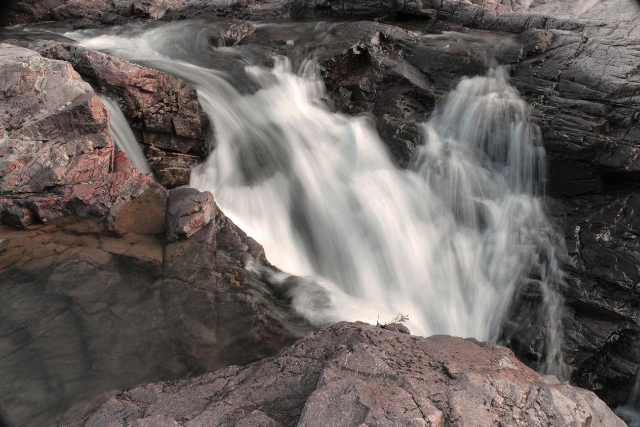
Photo: Brock Davis, Clubhouse Overlook
Alerts and conditions
Park Closure Round Spring Pavilion Parking Area Closed
The parking lot for the Round Spring Pavilion and for Round Spring itself is CLOSED for the remainder of 2026 while the low water bridge over Spring Valley Creek is rebuilt. Alternative parking near Round Spring Group Campsites 4-8 will provide trail access to the north side of Round Spring.
Information Paving Work Ongoing Throughout the Park
Paving work is being done throughout Ozark National Scenic Riverways during the 2026 summer season, including at Alley Spring, Round Spring, Pulltite, and Big Spring. Watch here and on our park Facebook page for updates, as roads and campground loops may close and reopen depending on work progress.
Information Reservations Required for All Campgrounds
As of January 1, 2025, ALL developed campsites will be available through reservation ONLY. These include Pulltite, Round Spring, Alley Spring, Big Spring, Two Rivers, and Akers. Reservations must be made through recreation.gov (online or by calling).
Caution River Ferry at Akers (on State Highway K) CLOSED until further notice
The Akers Ferry on State Highway K will not be in service until further notice.
Overview
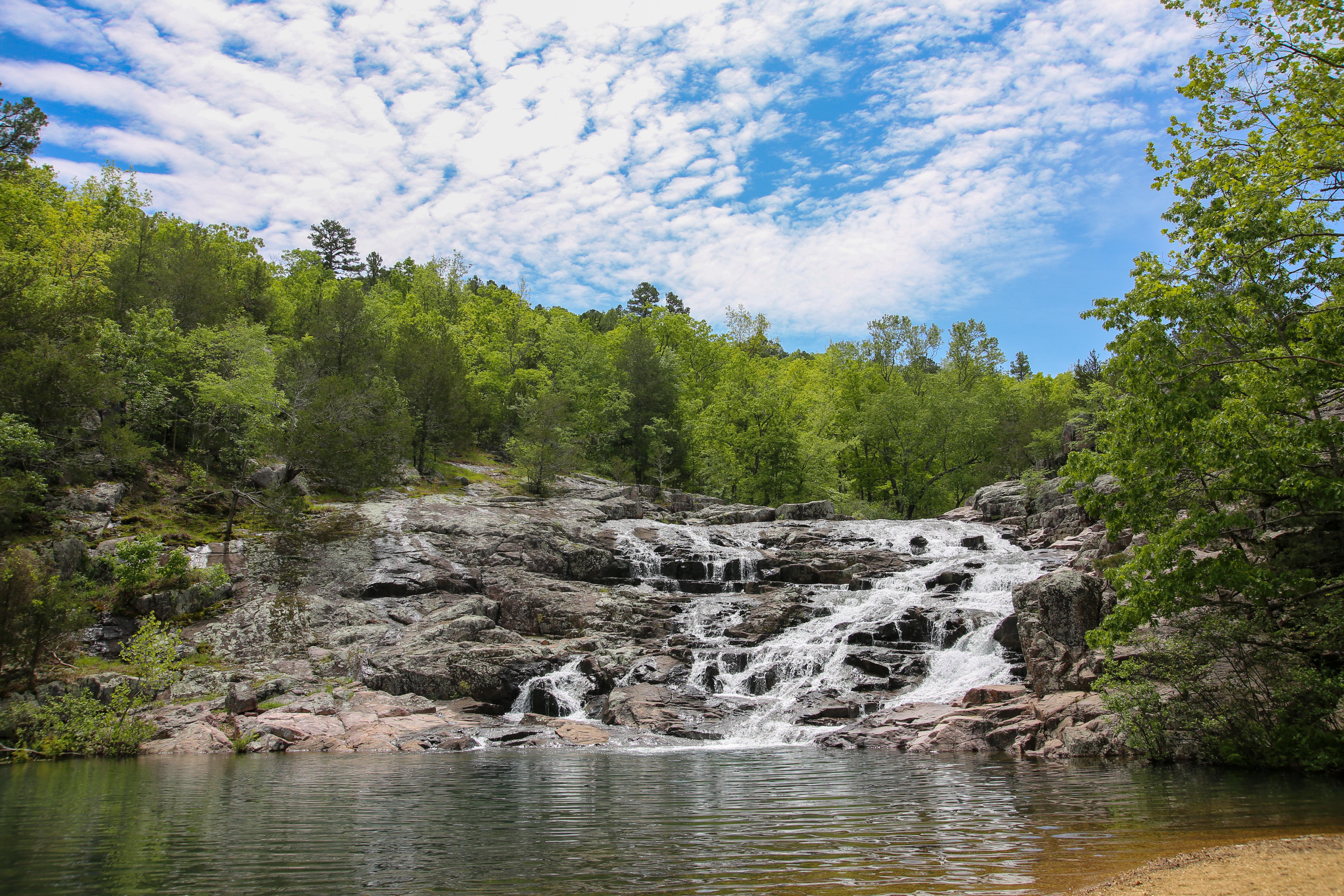
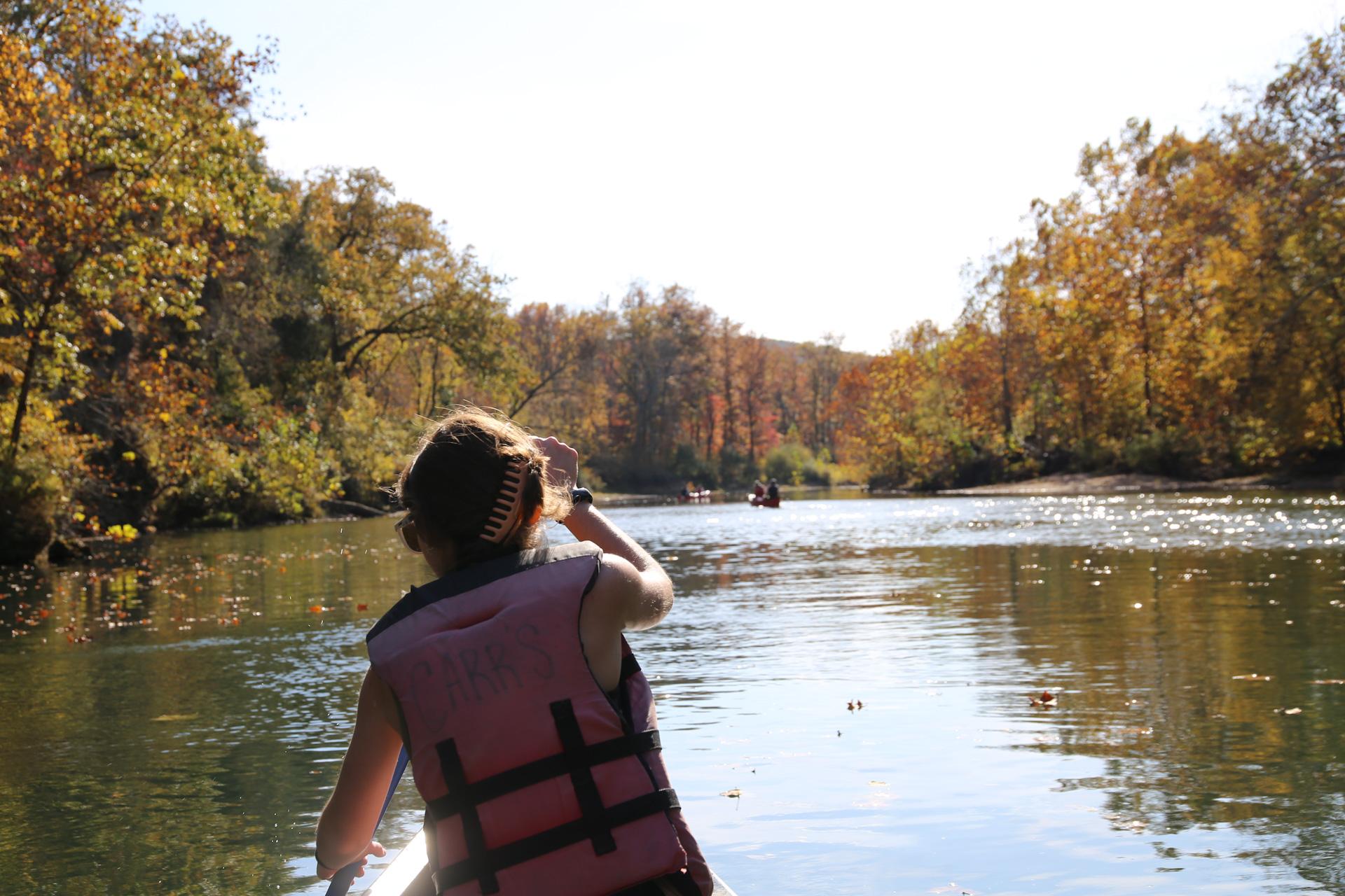
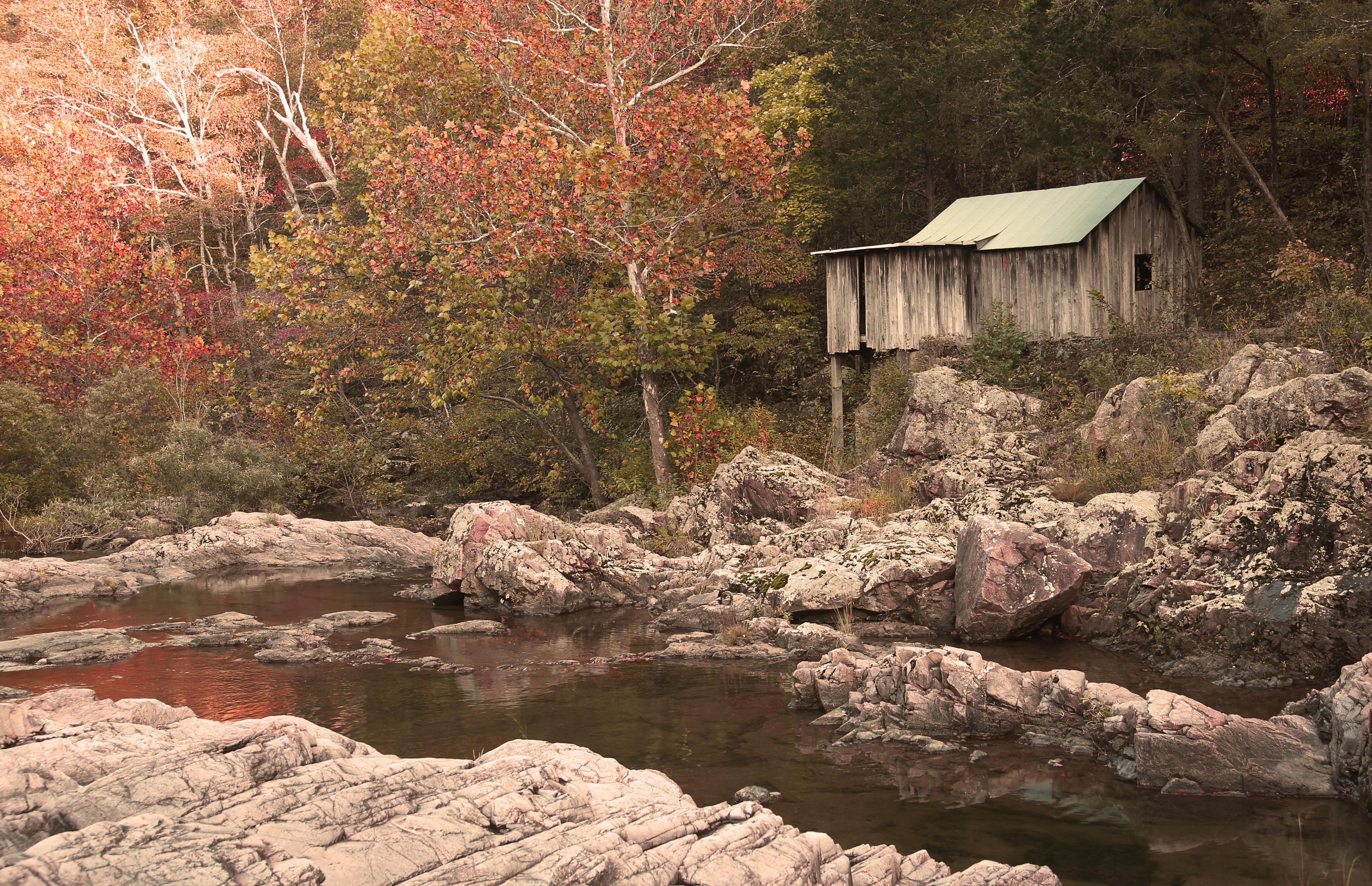
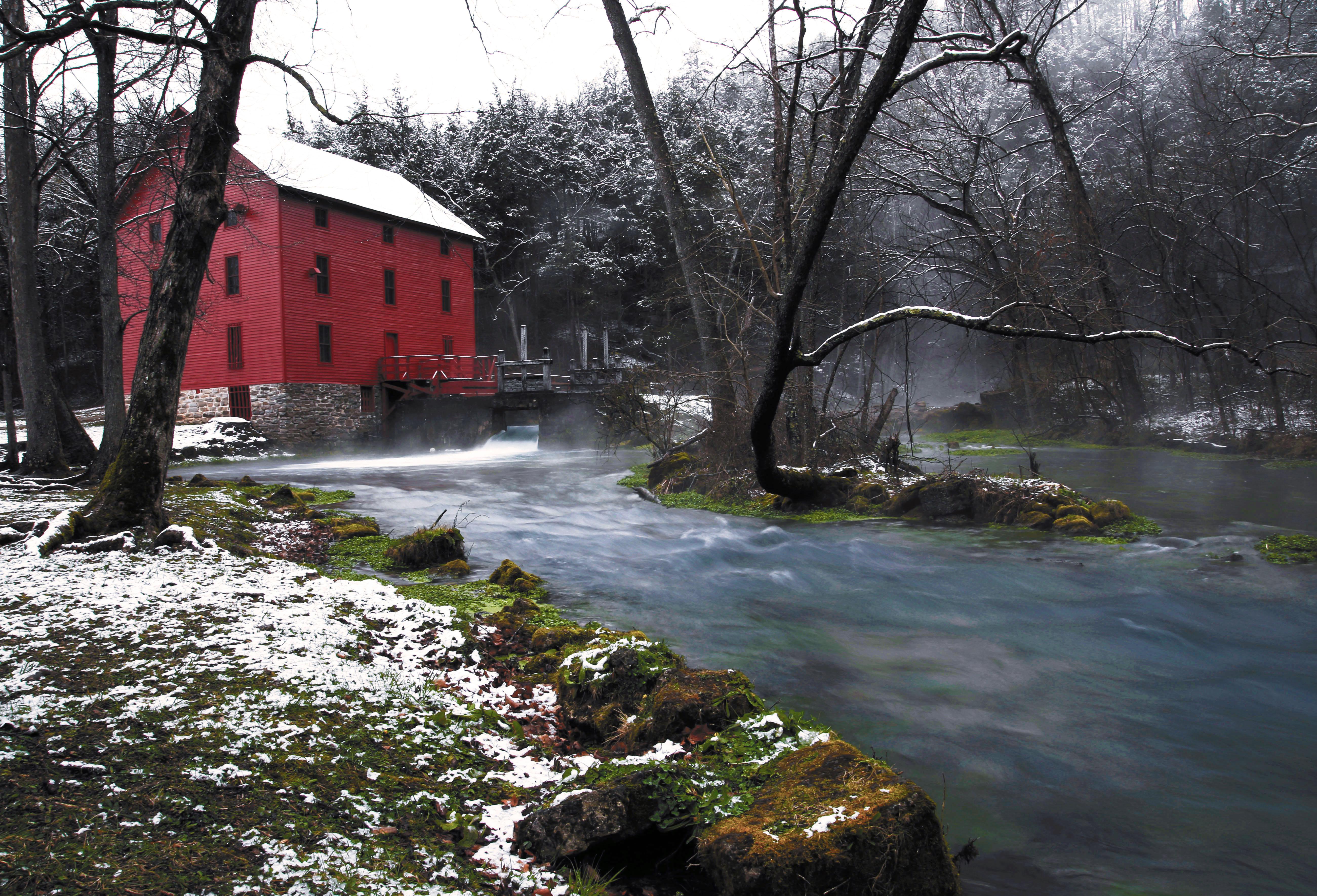
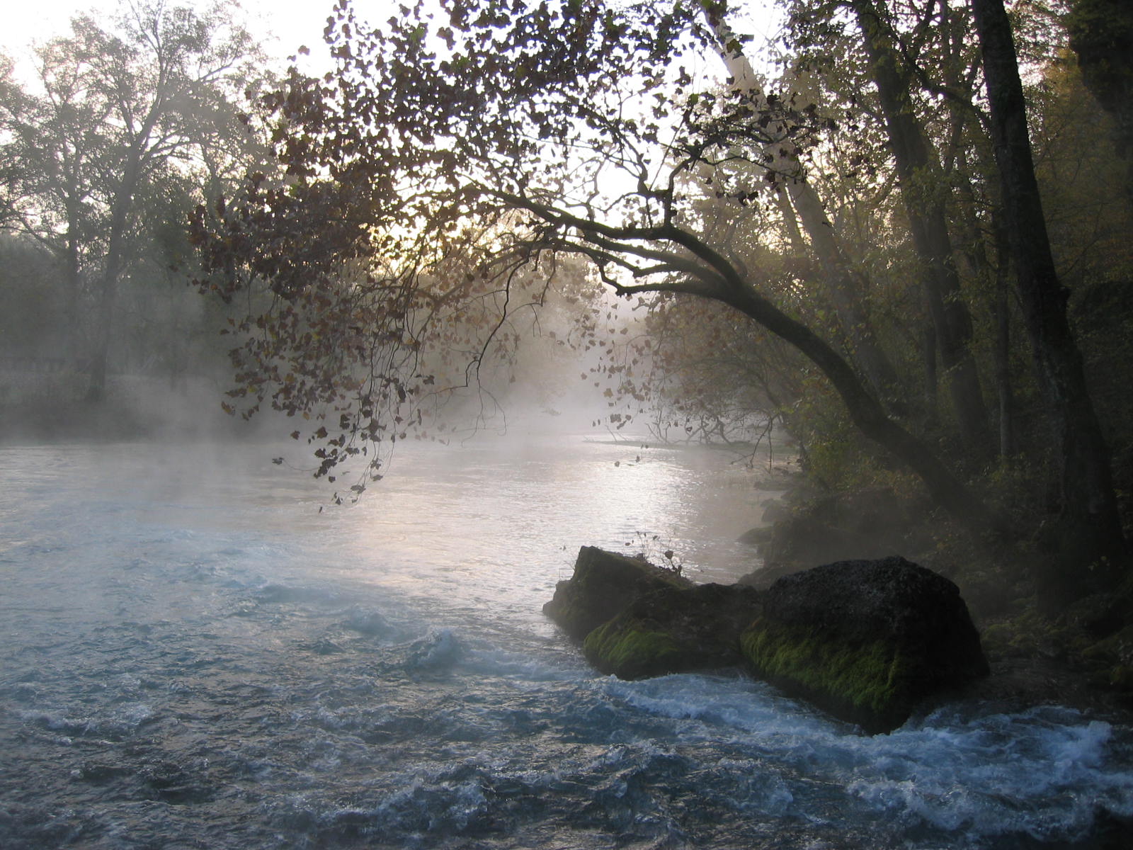
Ozark National Scenic Riverways is the first national park area to protect a river system. The Current and Jacks Fork rivers are two of the finest floating rivers found anywhere. Spring-fed, cold and clear: they are a delight to canoe, swim, boat, or fish. Besides these two famous rivers, the park is home to hundreds of freshwater springs, caves, trails, and historic sites such as Alley Mill.
From the National Park Service
History
The designation history for this site (every law, proclamation and order, and the administration behind each) is being researched and checked by the Library’s historians.
What to see and do
Activities
- Auto and ATV
- Scenic Driving
- Astronomy
- Stargazing
- Boating
- Motorized Boating
- Camping
- Backcountry Camping
- Canoe or Kayak Camping
- Car or Front Country Camping
- Group Camping
- RV Camping
- Caving
- Fishing
- Freshwater Fishing
- Fly Fishing
- Guided Tours
- Hiking
- Backcountry Hiking
- Front-Country Hiking
- Horse Trekking
- Horseback Riding
- Hunting and Gathering
- Gathering and Foraging
- Hunting
- Paddling
- Canoeing
- Canoe or Kayak Camping
- Kayaking
- Stand Up Paddleboarding
- Junior Ranger Program
- Playground
- Tubing
- River Tubing
- Swimming
- Freshwater Swimming
- Wildlife Watching
- Birdwatching
- Park Film
- Shopping
- Bookstore and Park Store
- Gift Shop and Souvenirs
Plan your visit
Hours
Ozark National Scenic Riverways: Generally, the park grounds are open 24-hours a day throughout the year. Some visitor centers will have different hours depending on season and staff availability. Likewise, certain roads, trails, or river access points may be seasonally closed.
Getting there
Visitor centers can be found at the following locations: Big Spring Entrance Station - 3 miles south of Van Buren on Highway 103 Alley Mill & Store - 12185 Alley Hollow Road Round Spring Ranger Station - 13209 Round Spring Campground Rd Administrative offices for Ozark National Scenic Riverways are located at 404 Watercress Drive, Van Buren, MO 63965. This location does not offer a visitor center - tourists should instead go to the Big Spring Entrance Station.
Visitor centers
- Big Spring Entrance Station
- Alley Mill
- Alley General Store
- Round Spring Ranger Station
- Pulltite Ranger Station
Campgrounds
- Alley Spring Campground (146 sites) — reserve
- Big Spring Campground (123 sites) — reserve
- Round Spring Campground (55 sites) — reserve
- Pulltite Campground (55 sites) — reserve
- Two Rivers Campground (22 sites) — reserve
- Akers Group Campground (4 sites) — reserve
- Big Tree Campground (7 sites) — reserve
- Gooseneck Campground (7 sites) — reserve
- Clubhouse Campground (5 sites) — reserve
- Cedar Spring Campground (2 sites) — reserve
- Grubb Hollow Campground (5 sites) — reserve
- Powder Mill Campground (8 sites) — reserve
- Log Yard Campground (6 sites) — reserve
- Blue Spring Campground (7 sites) — reserve
- Bay Creek Campground (11 sites) — reserve
- Bachers Campground (1 sites) — reserve
- Rymers Campground (4 sites) — reserve
- Shawnee Creek Campground (6 sites) — reserve
- Sinking Creek Campground (8 sites) — reserve
- Cedar Grove Campground (6 sites) — reserve
- Dee Murray Campground (5 sites) — reserve
- Jerktail Campground (3 sites) — reserve
- Broadfoot Campground (4 sites) — reserve
Weather
Ozark National Scenic Riverways is located in southeastern Missouri. Summer temperatures generally range from 75-100 degrees (°F) with high humidity. Winter temperatures generally range from 0-50 (°F) degrees with periods of intermittent freezing and snow. Periods of excessive heat are typical in summer, while heavy rains or flooding can occur throughout the year. Be sure to plan accordingly when camping, hiking, or floating.
Phone: (573) 323-4236
Whose lands these are
These lands are the ancestral and present-day homelands of Native nations. A section on whose lands these are is being prepared with tribal review. In the meantime, Native Land Digital offers a starting point.
Photos
Pair it with
- Mark Twain National Forest USFS · 38 miles
- Pilot Knob National Wildlife Refuge FWS · 48 miles
- Mingo National Wildlife Refuge FWS · 61 miles
- Ste. Geneviève National Historical Park NPS · 88 miles
- Livingston National Game Refuge USFS · 93 miles
- Barkshead National Game Refuge USFS · 96 miles