National Monument · NPS · GA
Fort Frederica National Monument
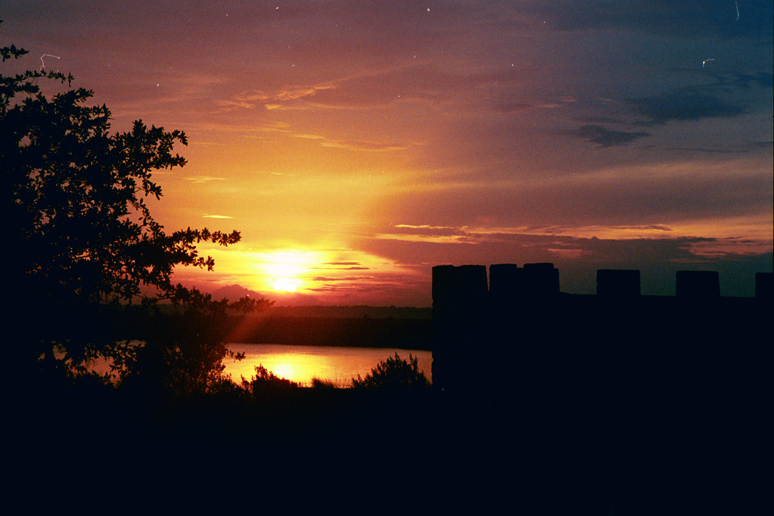
Photo: NPS photo, Ruin of Soldier Barracks at Fort Frederica NM
Alerts and conditions
Overview
War was imminent as James Oglethorpe established Fort Frederica in 1736, to help protect the British colonies from the Spanish in Florida. Fort Frederica illustrates the story of the War of Jenkins Ear (1739-1748) and how its British defenders fought off the Spanish Army. Today, archeology has uncovered the story of the 1,000 people that once lived here.
From the National Park Service
History
The designation history for this site (every law, proclamation and order, and the administration behind each) is being researched and checked by the Library’s historians.
What to see and do
Activities
- Biking
- Guided Tours
- Hiking
- Living History
- Junior Ranger Program
- Park Film
- Museum Exhibits
Plan your visit
Hours
Fort Frederica National Monument Grounds: Park & Grounds Closed: Thanksgiving Christmas Day New Year's Day
Bloody Marsh Site: Bloody Marsh is roughly where the site of the last battle of the Spanish invasion of Georgia took place on July 7th. Though casualties were relatively light, it would rob the Spanish of their enthusiasm and lead to their abandonment of their campaign. Located 7 miles south from the front gates of the town of Frederica, this relatively minor engagement ended the Spanish threat to the Georgia colonies.
Visitor Center Hours: The Visitor Center is closed Monday and Tuesday. The park grounds remain open for visitation.
Getting there
Directions from Torras Causeway: at end of causeway, get in left lane. Follow left lane to traffic light. Go straight at light. Follow Sea Island Road to Frederica Road. Turn left at traffic light onto Frederica Road. Follow Frederica to roundabout. Take second exit of roundabout (still on Frederica). Go approximately 1 mile. Turn left onto park entrance road. Across from Wesley United Methodist Church. For detailed directions, clink the link below.
Visitor centers
- Fort Frederica Visitor Center
Weather
The site enjoys mild climate from fall through early summer, followed by hot, humid summers.
Phone: 9126383639
Whose lands these are
These lands are the ancestral and present-day homelands of Native nations. A section on whose lands these are is being prepared with tribal review. In the meantime, Native Land Digital offers a starting point.
Photos



Pair it with
- Wolf Island National Wildlife Refuge FWS · 10 miles
- Blackbeard Island National Wildlife Refuge FWS · 22 miles
- Cumberland Island National Seashore NPS · 25 miles
- Harris Neck National Wildlife Refuge FWS · 29 miles
- Timucuan Ecological & Historic Preserve NPS · 52 miles
- Wassaw National Wildlife Refuge FWS · 52 miles