National Seashore and Lakeshore · NPS · GA
Cumberland Island National Seashore
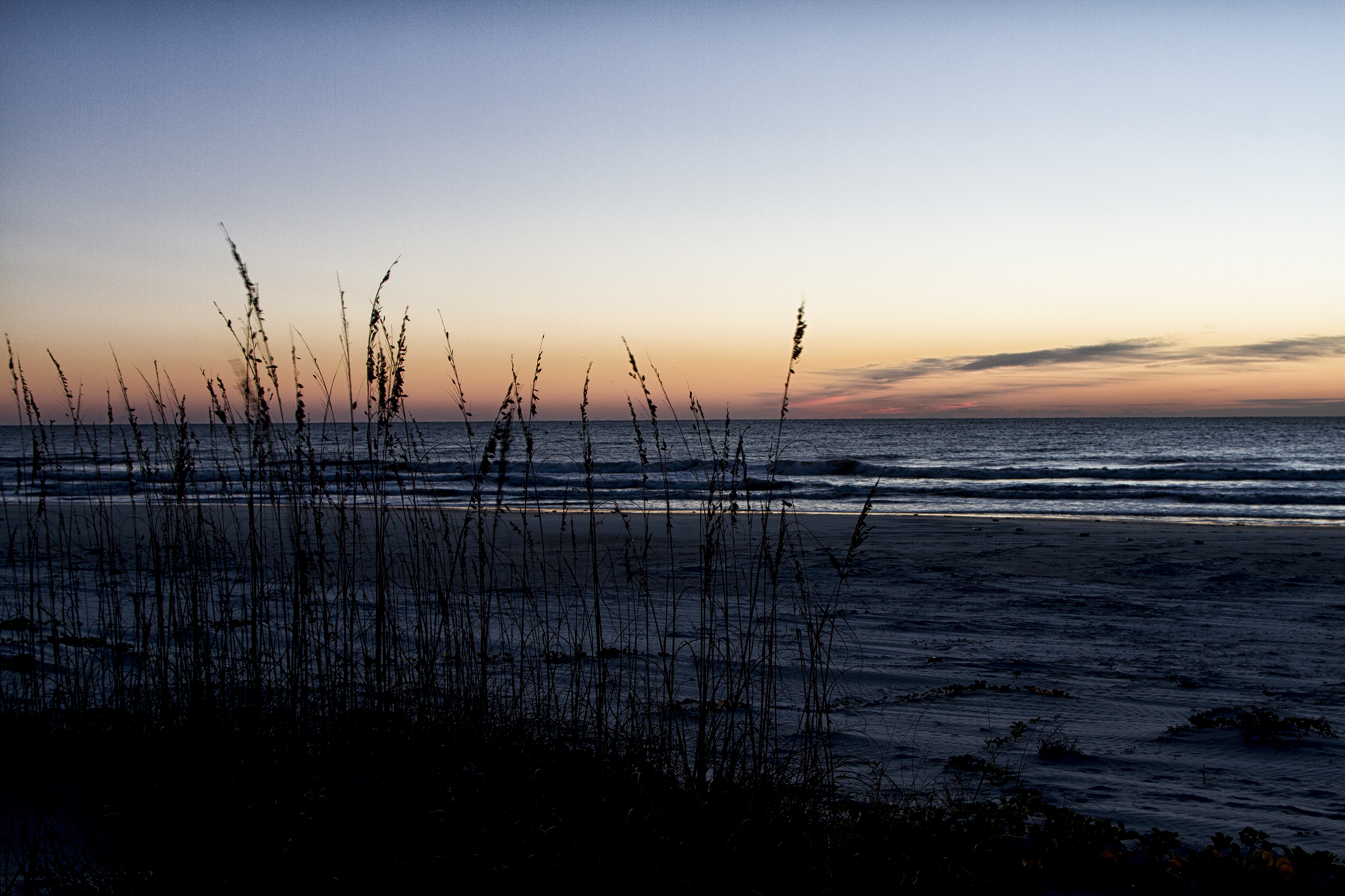
Photo: NPS Photo, Vegetated Dunes
Alerts and conditions
Information Mainland Museum Closure
The Cumberland Island Museum will be closed for an extended period due to roof leakages. We apologize for any inconvenience but look forward to reopening to you in the future.
Information Ongoing Road Repair on Main Road
Ongoing road work will be taking place throughout the Main Road on the island. Expect potentially heavier vehicle traffic and areas of uneven terrain. Please yield to construction traffic. Be aware of approaching traffic both in front as well as from behind.
Caution Scam Warning - Book ferry tickets through concessioner site only
Valid ferry tickets can only be purchased through the website www.cumberlandislandferry.com. Check site carefully before purchasing. Only valid tickets will be honored.
Overview
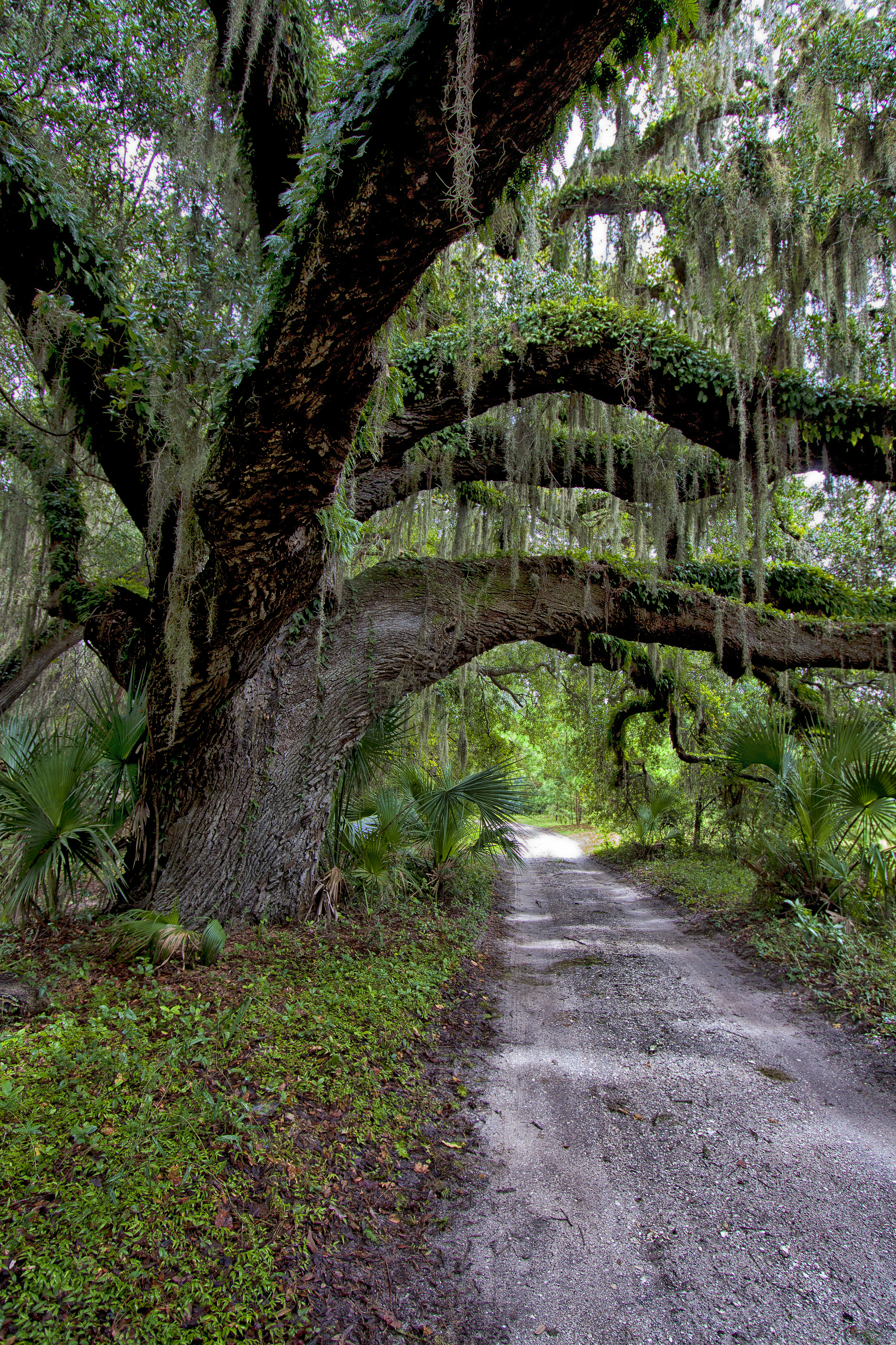
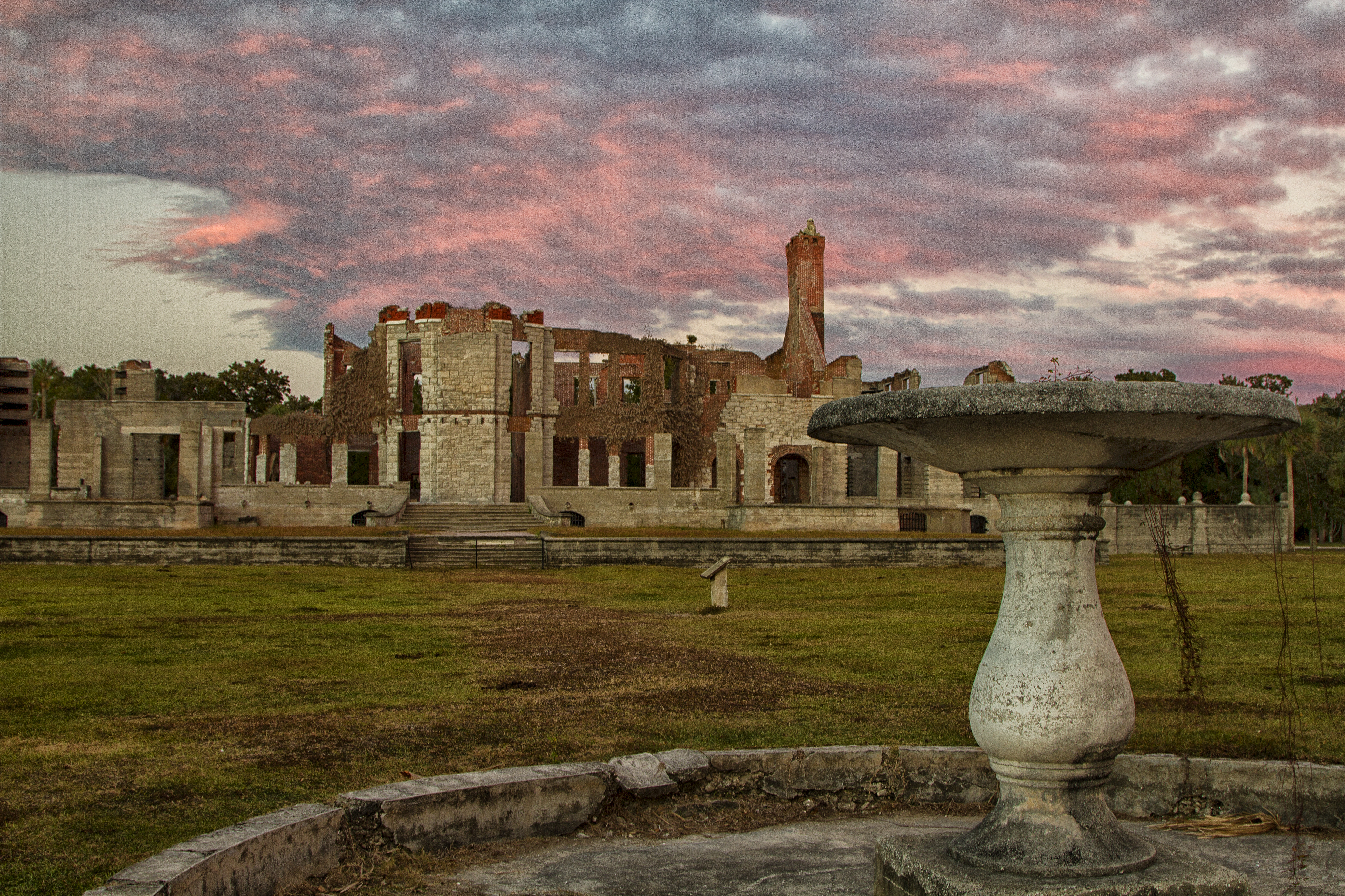
St Marys is the gateway to Cumberland Island, Georgia's largest and southernmost barrier island. Here pristine maritime forests, undeveloped beaches and wide marshes whisper the stories of both man and nature. Natives, missionaries, enslaved African Americans and Wealthy Industrialists all walked here. Cumberland Island is also home to over 9,800 acres of Congressionally designated Wilderness.
From the National Park Service
History
The designation history for this site (every law, proclamation and order, and the administration behind each) is being researched and checked by the Library’s historians.
What to see and do
Activities
- Biking
- Boating
- Camping
- Guided Tours
- Hiking
- Hunting and Gathering
- Hunting
- Swimming
- Saltwater Swimming
- Wildlife Watching
- Birdwatching
Plan your visit
Hours
Cumberland Island National Seashore: The park is open 24 hours a day, all year. The island is only accessible by boat. The visitor center, other facilities, ferry operations, and docks for private boats all have separate hours, however; please see descriptions of those facilities elsewhere.
Fees and passes
- Entrance - Per Person — $15.00
The America the Beautiful pass covers entrance fees at federal recreation lands across all four agencies.
Getting there
Cumberland Island is only accessible by ferry or private boat. These directions are to the mainland visitor center in St. Marys, GA. Driving Directions To reach the visitor center from Interstate 95: •Take Exit 3 for US 40 •Take US 40 East toward “Historic Downtown St. Marys” •US 40 becomes Osborne Rd. Continue on until you reach the waterfront •Turn right on St. Marys Rd •The visitor center will be two blocks down on your left (113 St. Marys St W, St Marys GA 31558)
Visitor centers
Campgrounds
- Sea Camp Campground (18 sites) — reserve
- Stafford Beach Campground (10 sites) — reserve
- Hickory Hill Wilderness Campsite (4 sites) — reserve
- Yankee Paradise Wilderness Campsite (4 sites) — reserve
- Brickhill Bluff Wilderness Campsite (4 sites) — reserve
Weather
Cumberland Island’s climate is hot and humid during summer when temperatures tend to be in the 80's (>26 C) and mild during winter when temperatures tend to be in the 60's (<20 C). The warmest month of the year is July with an average high of 90 degrees F (32 C), while the coldest is January with an average low of 45 degrees F (44 C). Visit the Current Conditions page for an up-to-date local forecast: https://www.nps.gov/cuis/planyourvisit/conditions.htm#weather
Phone: 9128824336
Whose lands these are
These lands are the ancestral and present-day homelands of Native nations. A section on whose lands these are is being prepared with tribal review. In the meantime, Native Land Digital offers a starting point.
Photos
Pair it with
- Fort Frederica National Monument NPS · 25 miles
- Timucuan Ecological & Historic Preserve NPS · 27 miles
- Wolf Island National Wildlife Refuge FWS · 35 miles
- Blackbeard Island National Wildlife Refuge FWS · 47 miles
- Okefenokee National Wildlife Refuge FWS · 52 miles
- Harris Neck National Wildlife Refuge FWS · 55 miles