Battlefield and Military Park · NPS · SC
Cowpens National Battlefield
Photo: NPS Photo, Sunrise on Green River Road
Alerts and conditions
Caution Hazardous Conditions on Trails
Visitors should exercise caution when hiking areas of the park that have opened since Hurricane Helene. Hazards on trails and in forested areas such as hanging tree limbs, debris on the ground, and washed-out sections of trails and bridges are possible.
Overview
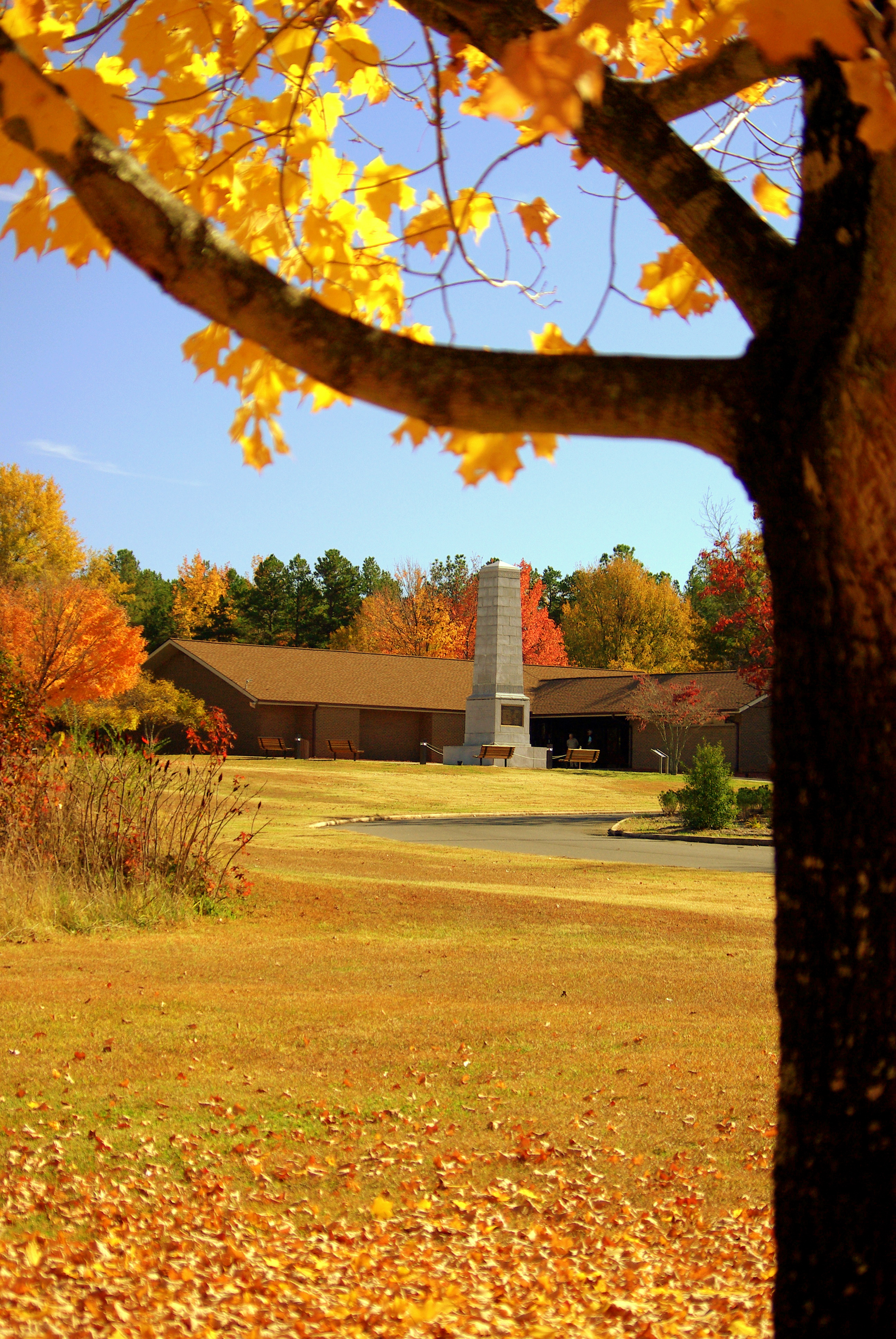
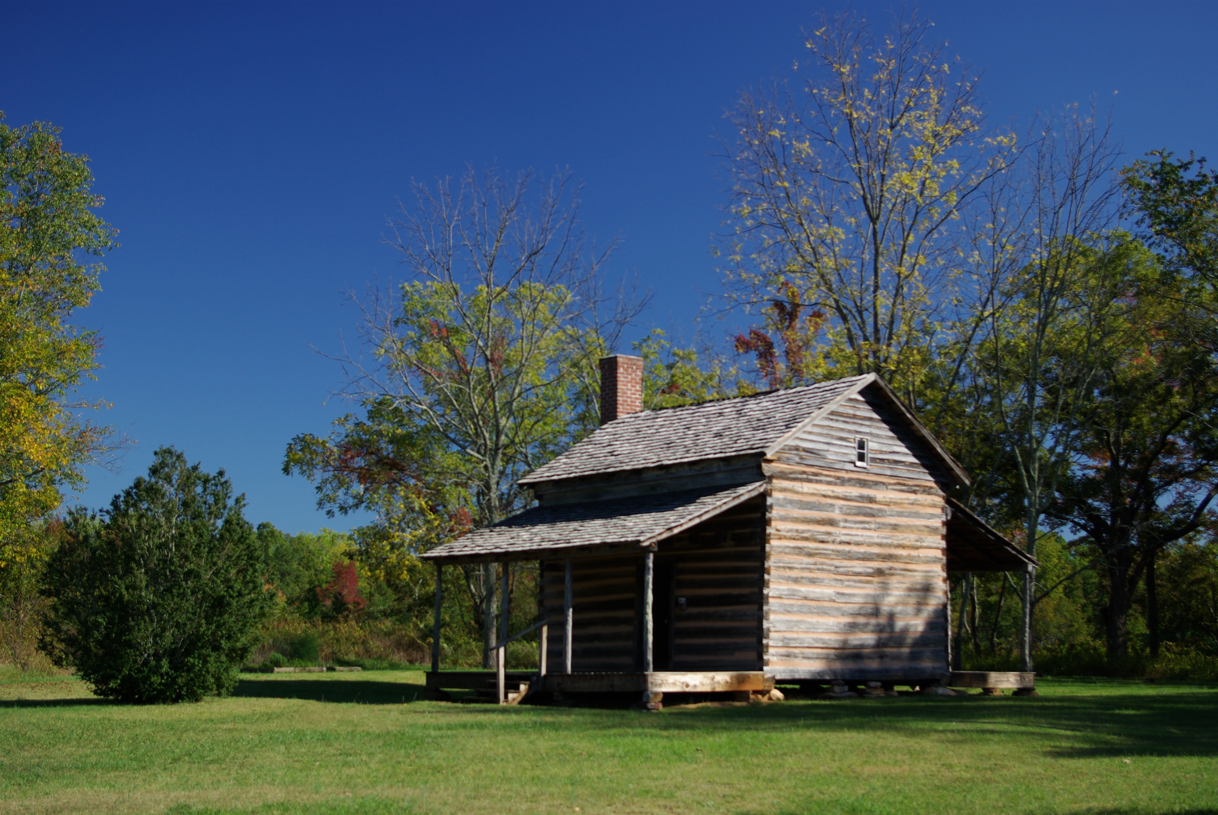
A pasturing area at the time of the battle, this Revolutionary War site commemorates the place where Daniel Morgan and his army turned the flanks of Banastre Tarleton's British army. This classic military tactic, known as a double envelopment, secured a patriot victory.
From the National Park Service
History
The designation history for this site (every law, proclamation and order, and the administration behind each) is being researched and checked by the Library’s historians.
What to see and do
Activities
- Biking
- Road Biking
- Food
- Picnicking
- Guided Tours
- Self-Guided Tours - Walking
- Self-Guided Tours - Auto
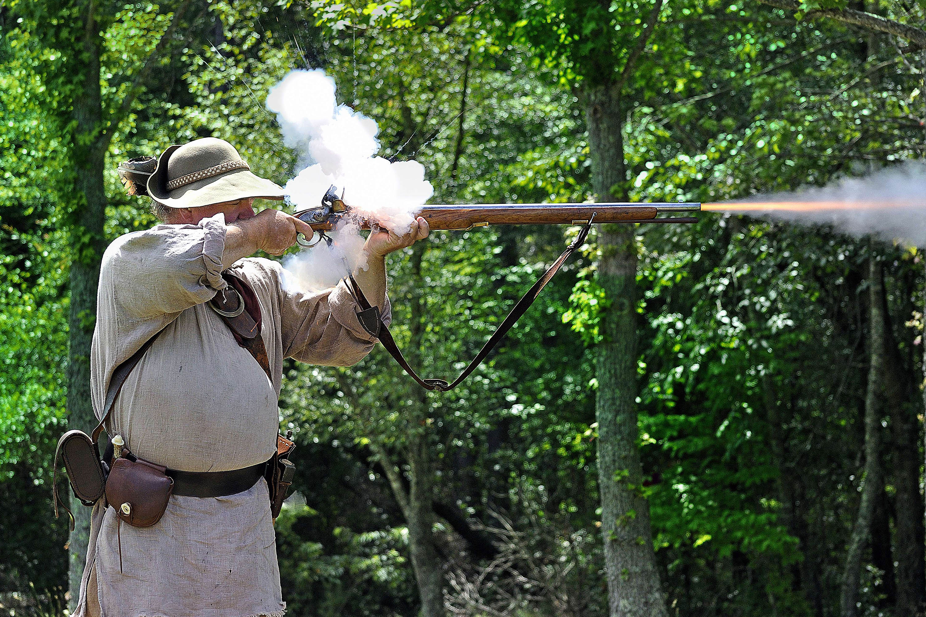
- Living History
- Junior Ranger Program
- Park Film
- Museum Exhibits
Plan your visit
Hours
Grounds: The visitor center parking lot is open 9:00 am - 5:00 pm. The front gate closes at 5:00 pm. Loop Road closes at 4:30 pm. After hours parking is located 1 mile east at the intersection of Hwy 11 and Hayes Road and is open dawn to dusk. Visitor Center is open Wed - Sunday 9 - 5.
Trails and Trailhead Parking: The trailhead parking lot on the eastern boundary of the park is open dawn to dusk for additional pedestrian and bicycle access to the battlefield trail.
Restrooms, Picnic Area, and Auto Loop Road: The public restroom facilities, picnic shelter, and auto loop tour road close at 4:30 PM. They are closed on New Years Day, Martin Luther King Day, Washington's Birthday, Labor Day, Columbus Day, Thanksgiving Day, and Christmas Day.
Getting there
From I-85 S, take exit 83. Turn left on Hwy 110, approx. 8 miles. Turn right on Hwy 11. The park is about a half mile on the right. From I-85 N, take exit 92, turn right toward Chesnee on Hwy 11, approx.10 miles on the left. From I-26 E, take exit 5, turn left toward Chesnee on Hwy 11, approx. 20 miles on the right. From I-26 W, take I-85 North, take exit 83. Turn left on Hwy 110, approx. 8 miles. Turn right on Hwy 11. The park is about a half mile on the right.
Visitor centers
- Cowpens National Battlefield
Weather
Temperatures for the area range from very hot and humid in the summer to cool and moderate in the winter. http://forecast.weather.gov/MapClick.php?lat=35.1346&lon=-81.7036#.VhkrZ-xVhBc
Phone: 8644612828
Whose lands these are
These lands are the ancestral and present-day homelands of Native nations. A section on whose lands these are is being prepared with tribal review. In the meantime, Native Land Digital offers a starting point.
Photos
Pair it with
- Kings Mountain National Military Park NPS · 24 miles
- Overmountain Victory National Historic Trail NPS · 24 miles
- Carl Sandburg Home National Historic Site NPS · 37 miles
- Blue Ridge Parkway NPS · 48 miles
- Cradle of Forestry in America National Historic Area USFS · 56 miles
- Pisgah National Forest USFS · 59 miles