Parkway · NPS · NC, VA
Blue Ridge Parkway
Photo: Harold Blackwood Photo, Evening on the Blue Ridge
Alerts and conditions
Overview
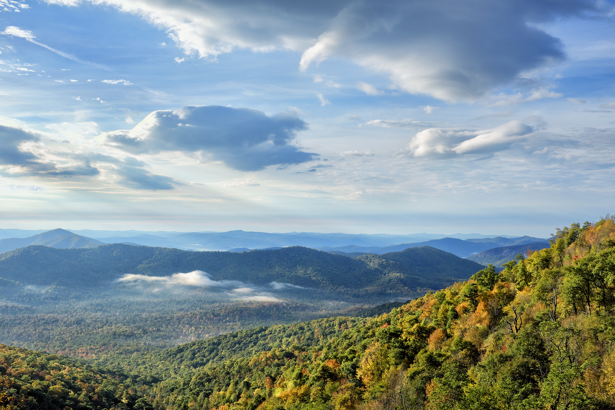
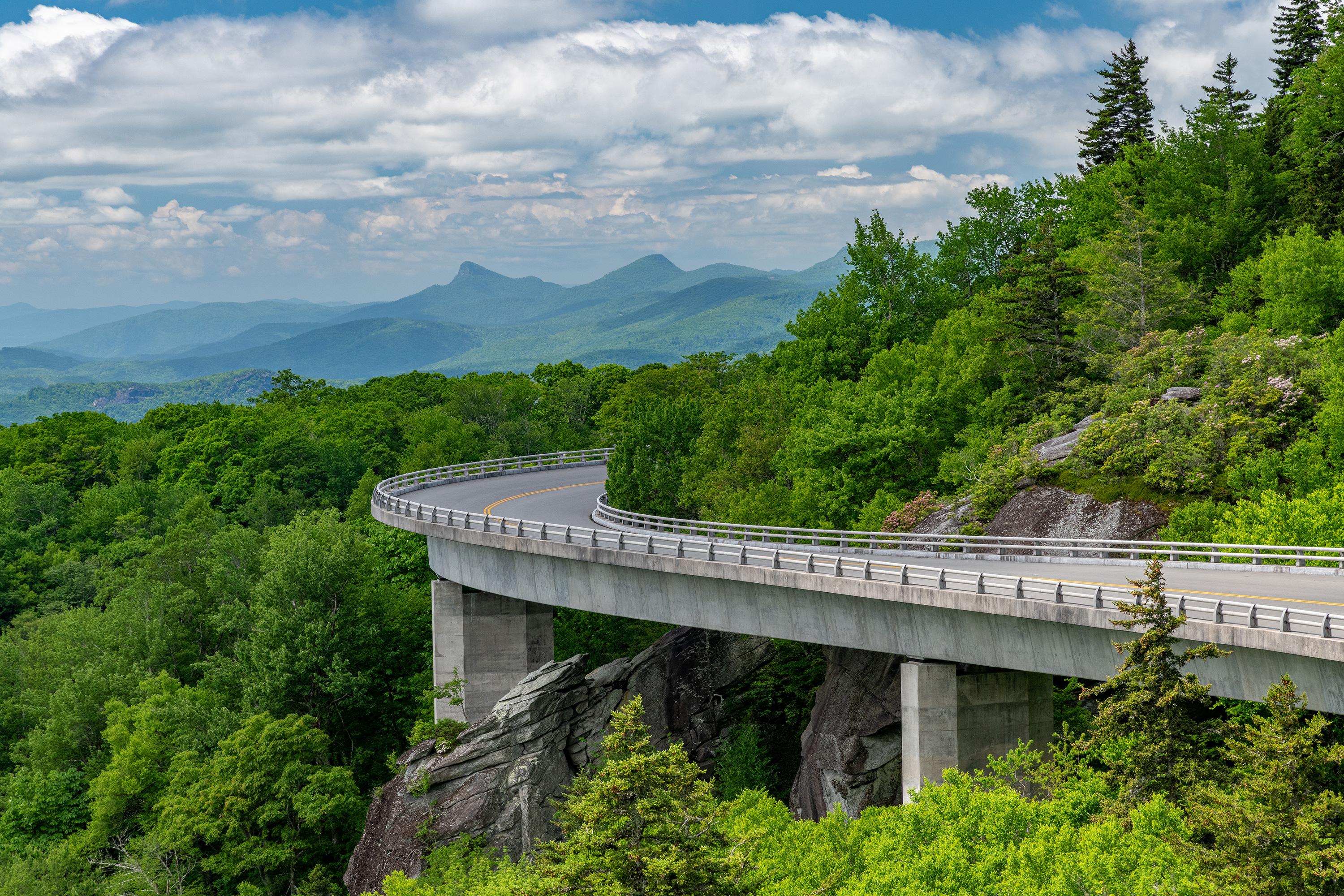
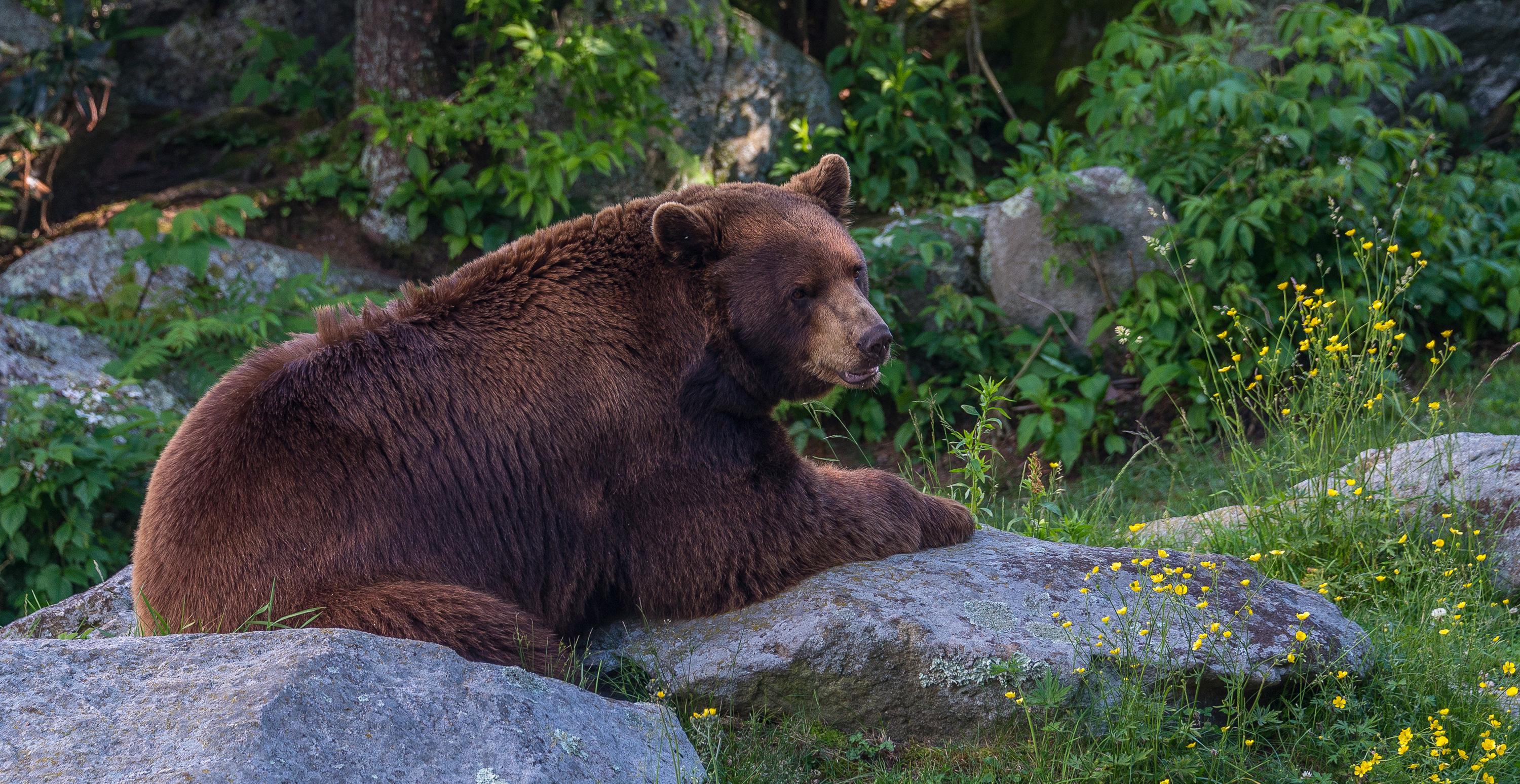
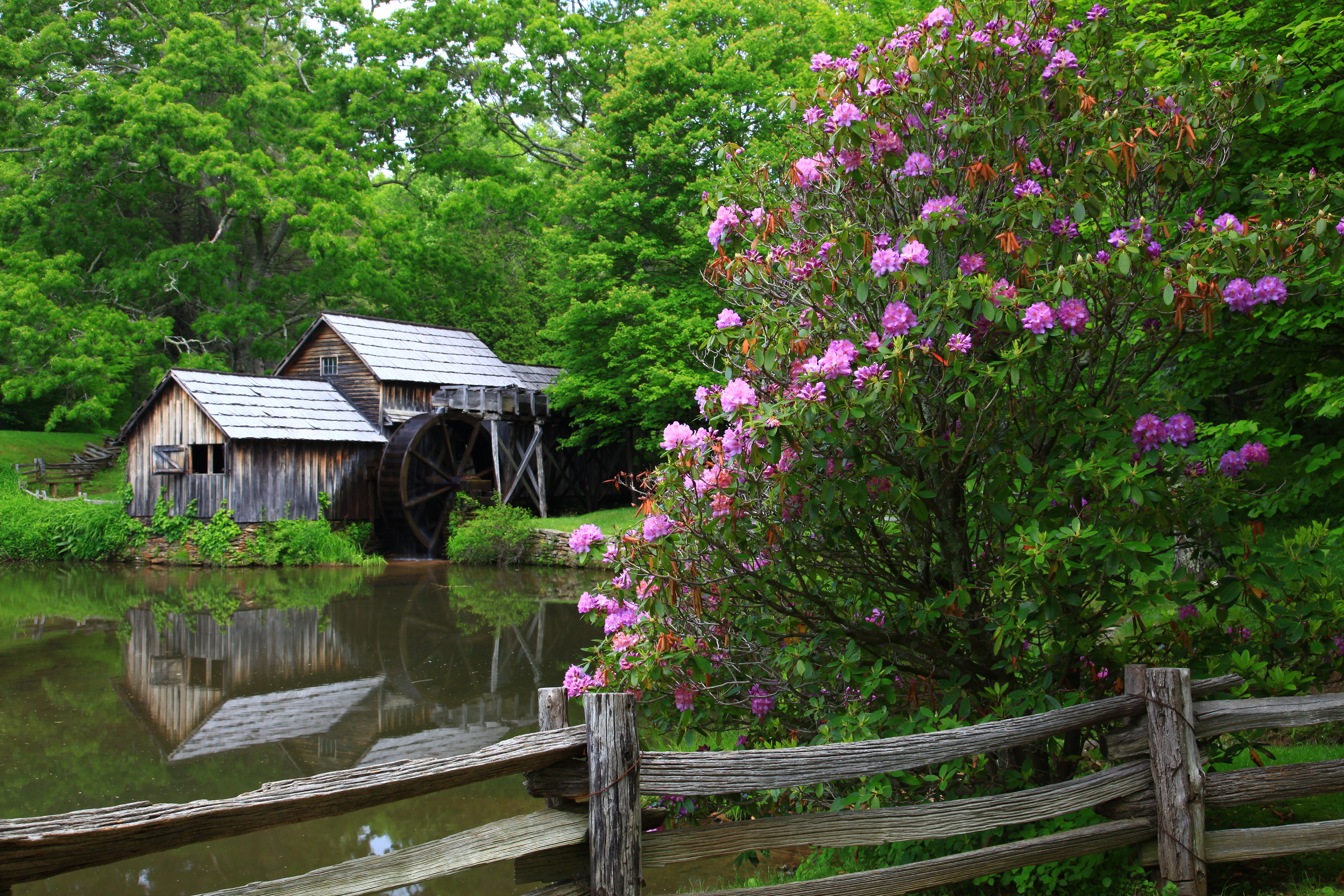
A Blue Ridge Parkway experience is unlike any other: a slow-paced and relaxing drive revealing stunning long-range vistas and close-up views of the rugged mountains and pastoral landscapes of the Appalachian Highlands. The Parkway meanders for 469 miles, protecting a diversity of plants and animals, and providing opportunities for enjoying all that makes this region of the country so special.
From the National Park Service
History
The designation history for this site (every law, proclamation and order, and the administration behind each) is being researched and checked by the Library’s historians.
What to see and do
Activities
- Arts and Culture
- Live Music
- Auto and ATV
- Scenic Driving
- Biking
- Road Biking
- Camping
- Car or Front Country Camping
- Fishing
- Freshwater Fishing
- Food
- Picnicking
- Hiking
- Backcountry Hiking
- Front-Country Hiking
- Junior Ranger Program
- Wildlife Watching
- Shopping
- Bookstore and Park Store
Plan your visit
Hours
Parkway Road Hours: The road is open 24 hours a day, weather permitting. Road closures due to inclement weather occur most frequently during winter. Sections of the road may also be closed during road maintenance projects. Check our road closure map to verify that the parkway is open before traveling. Visitor centers and other facilities have hours and seasons that vary. Most picnic areas, campgrounds, and visitor centers are closed from the beginning of November until early May.
Getting there
The parkway is a 469-mile-long scenic road connecting Shenandoah National Park in Virginia to Great Smoky Mountains National Park in North Carolina. Numerous federal and state highways provide access to the parkway. Milepost markers are positioned every mile along the parkway, starting at 0 in Virginia and ending at 469 in North Carolina. We suggest using a map to identify the area you want to visit, as GPS directions often do not incorporate the parkway's milepost system.
Visitor centers
- Waterrock Knob Visitor Center (Milepost 451.2)
- Blue Ridge Parkway Visitor Center (Milepost 384)
- Folk Art Center (Milepost 382)
- Craggy Gardens Visitor Center (Milepost 364)
- Museum of North Carolina Minerals (Milepost 331)
- Linville Falls Visitor Center (Milepost 316)
- Linn Cove Viaduct Visitor Center (Milepost 304)
- Moses Cone Manor House and Visitor Center (Milepost 294)
- Blue Ridge Music Center (Milepost 213)
- Rocky Knob Visitor Center (Milepost 169)
- Doughton Park Visitor Center (Milepost 241)
- Peaks of Otter Visitor Center (Milepost 85.6)
- James River Visitor Center (Milepost 63.6)
- Humpback Rocks Visitor Center (milepost 5.8)
Campgrounds
- Doughton Park Campground (108 sites) — reserve
- Julian Price Park Campground (190 sites) — reserve
- Crabtree Falls Campground (81 sites) — reserve
- Linville Falls Campground (64 sites) — reserve
- Mount Pisgah (125 sites) — reserve
- Rocky Knob Campground (106 sites) — reserve
- Peaks of Otter Campground (139 sites) — reserve
- Otter Creek (68 sites) — reserve
Weather
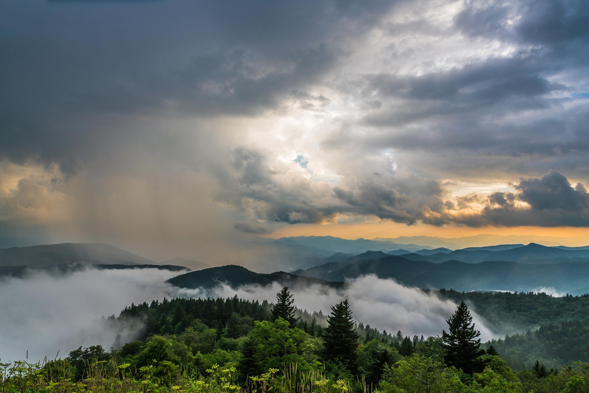
The weather on the parkway can vary widely along its 469-mile route. Precipitation is possible any time of the year. Winter can be cold and snowy, especially at the higher elevations. Spring and fall can have large temperature swings, from near freezing to over 80 degrees Fahrenheit. Summers are hot in the lower elevations, but the highest elevations remain cooler. Summertime thunderstorms are common, so be prepared for weather changes.
Phone: 8283483400
Whose lands these are
These lands are the ancestral and present-day homelands of Native nations. A section on whose lands these are is being prepared with tribal review. In the meantime, Native Land Digital offers a starting point.
Photos

Pair it with
- Carl Sandburg Home National Historic Site NPS · 20 miles
- Cradle of Forestry in America National Historic Area USFS · 20 miles
- Pisgah National Game Refuge USFS · 25 miles
- Pisgah National Forest USFS · 30 miles
- Andrew Johnson National Historic Site NPS · 45 miles
- Cherokee National Forest USFS · 47 miles