National Preserve · NPS · NM
Valles Caldera National Preserve
Photo: NPS Photo, Wide Open Views of Valles Caldera
Alerts and conditions
Information Backcountry route open to vehicles May 15 - November 15
Valles Caldera's backcountry road system opens to vehicles on Friday, May 15, 2026. Forty vehicles passes will be issued per day through November 15, when the route closes for the 2026 season. Passes may be reserved up to 3 months in advance at Recreation.gov. Any remaining daily passes will be available on a first come, first served basis in the Volcano Discovery Center.
Information Trail closure for pipeline restoration project
The VC09/South Valle Toledo/Posos Trail from the Valle Toledo parking area to the eastern park boundary is closed for restoration. The NPS is working on a trail reroute and will provide details as soon as possible.
Overview
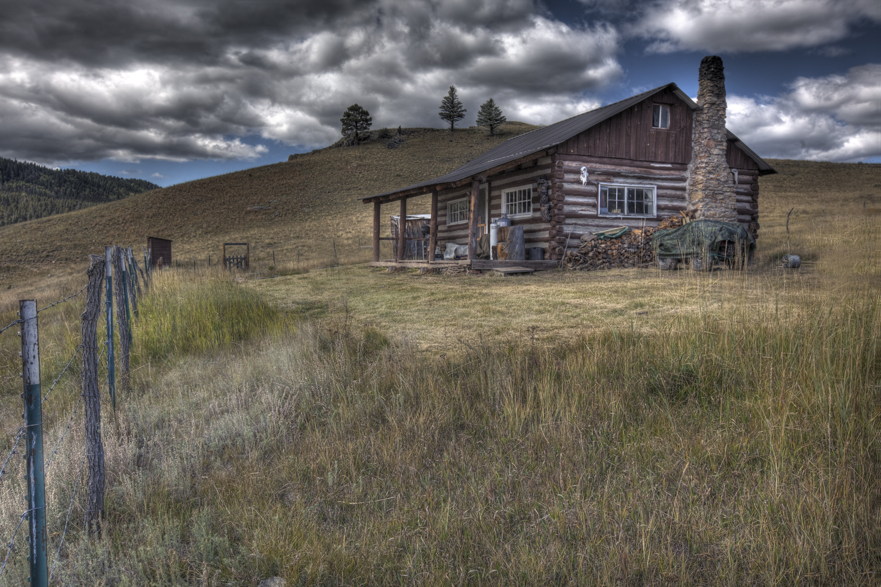
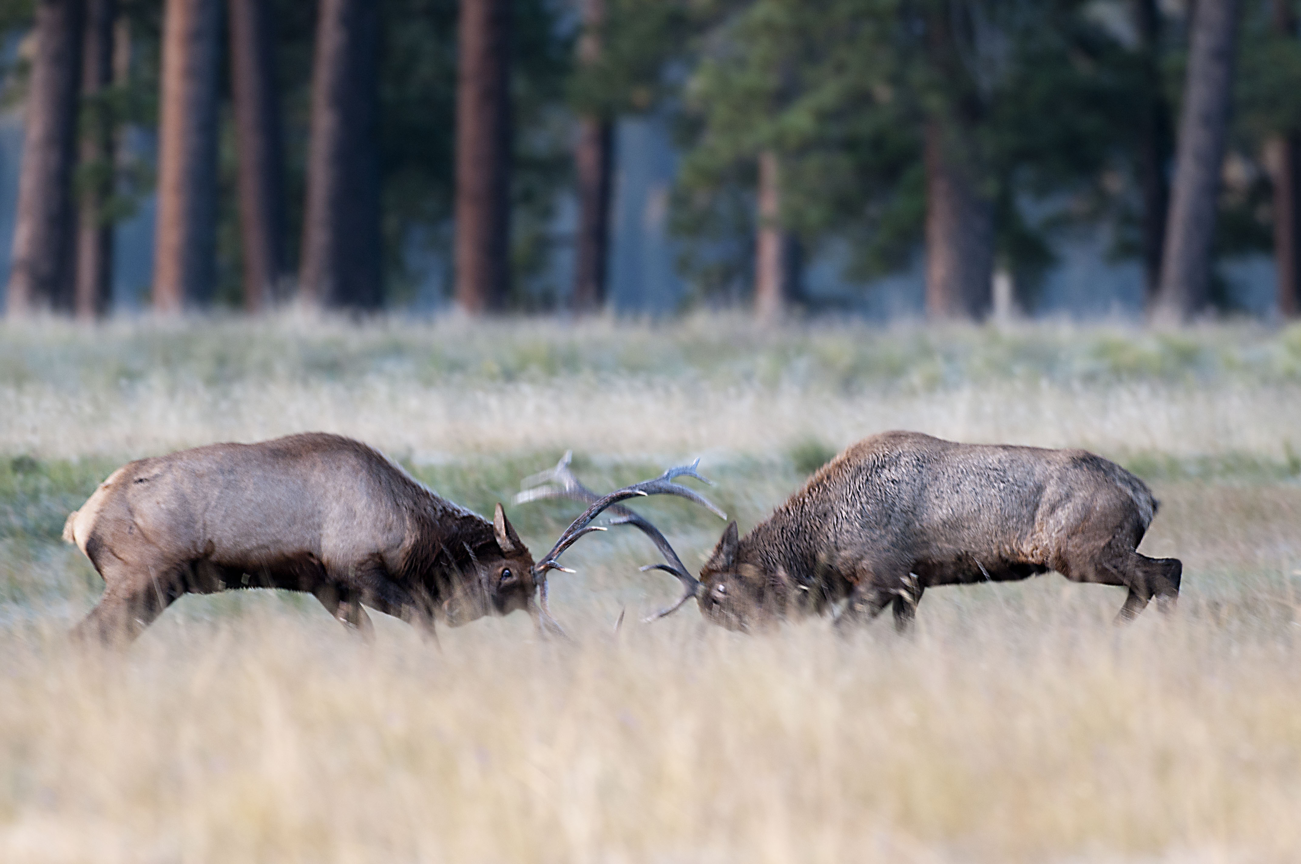
About 1.2 million years ago, a spectacular volcanic eruption created a 14-mile-wide circular depression in the earth now known as Valles Caldera. The preserve is known for its huge mountain meadows, abundant wildlife, and meandering streams. The area also preserves the homeland of ancestral native peoples and embraces a rich ranching history.
From the National Park Service
History
The designation history for this site (every law, proclamation and order, and the administration behind each) is being researched and checked by the Library’s historians.
What to see and do
Activities
- Astronomy
- Stargazing
- Biking
- Mountain Biking
- Road Biking
- Fishing
- Freshwater Fishing
- Fly Fishing
- Food
- Picnicking
- Guided Tours
- Self-Guided Tours - Walking
- Self-Guided Tours - Auto
- Hiking
- Backcountry Hiking
- Front-Country Hiking
- Off-Trail Permitted Hiking
- Horse Trekking
- Horseback Riding
- Hunting and Gathering
- Hunting
- Junior Ranger Program
- Skiing
- Cross-Country Skiing
- Snowshoeing
- Wildlife Watching
- Birdwatching
- Shopping
- Bookstore and Park Store
- Gift Shop and Souvenirs
Plan your visit
Hours
Valle Grande Main Entrance: Valle Grande Main Entrance is located at mile marker 39.2 along New Mexico Highway 4.
Fees and passes
- Entrance - Private Vehicle — $25.00
- Entrance - Motorcycle — $20.00
- Entrance - Per Person — $15.00
- Annual Entrance - Park — $45.00
The America the Beautiful pass covers entrance fees at federal recreation lands across all four agencies.
Getting there
From Jemez Springs, NM: Follow NM-4 north. The Preserve is about 22 miles from Jemez Springs. Look for the Main Gate and signs at Mile Marker 39.2. From Los Alamos, NM: Take Trinity Drive to Diamond. Take a left on Diamond, then a right on West Jemez Road to the intersection with NM-4. Take a right [away from Bandelier National Monument], following the highway up and into the Jemez Mountains. The Preserve is 18 miles up NM-4 from Los Alamos. Look for the Main Gate and signs at Mile Marker 39.2.
Visitor centers
- Volcano Discovery Center
Weather
Each season offers a different experience: lush springs, moderate summers, golden falls, and snowy winters. Average temperatures are 22°F (-6 C) in January and 60°F (16 C) in July. Temperature extremes range from a high of 84°F (29 C) in summer to -30°F (-34C) in winter. Precipitation is heavier during summer monsoon rains (thunderstorms) in July and August and winter snowstorms in December through March. Higher elevation lends to much cooler temperatures than nearby Albuquerque.
Phone: 505-670-1612
Whose lands these are
These lands are the ancestral and present-day homelands of Native nations. A section on whose lands these are is being prepared with tribal review. In the meantime, Native Land Digital offers a starting point.
Photos

Pair it with
- Jemez National Recreation Area USFS · 12 miles
- Manhattan Project National Historical Park NPS · 12 miles
- Santa Fe National Forest USFS · 13 miles
- Bandelier National Monument NPS · 14 miles
- Kasha-Katuwe Tent Rocks National Monument BLM · 19 miles
- Carson National Forest USFS · 48 miles