Historic Site and Historical Park · NPS · CO
Sand Creek Massacre National Historic Site
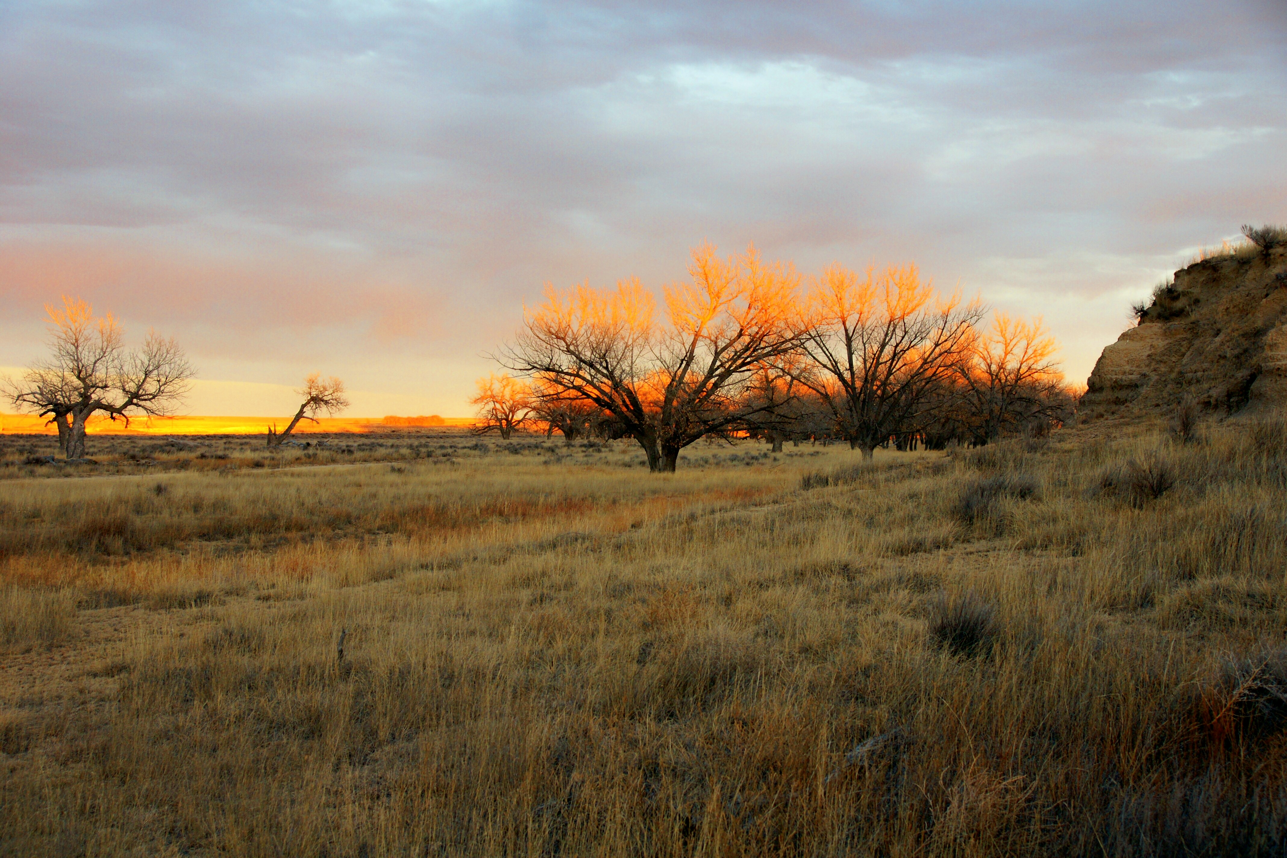
Photo: NPS Photo/Shawn G. Gillette, Cheyenne Lodges at Dawn
Alerts and conditions
Information Visitor Services Available Only at the Site
All visitor Services are available at the Historic Site, 23 miles northeast of Eads, Colorado. The Center for Sand Creek Massacre Studies located in Eads, Colorado is available for appointment only research requests.
Caution 8 Miles of Unpaved Road to Reach Park
In order to reach the Sand Creek Massacre Site, visitors must travel on at least 8 miles of unpaved roads. We are not able to guarantee road conditions of county roads 54 or W after spring storms.
Overview
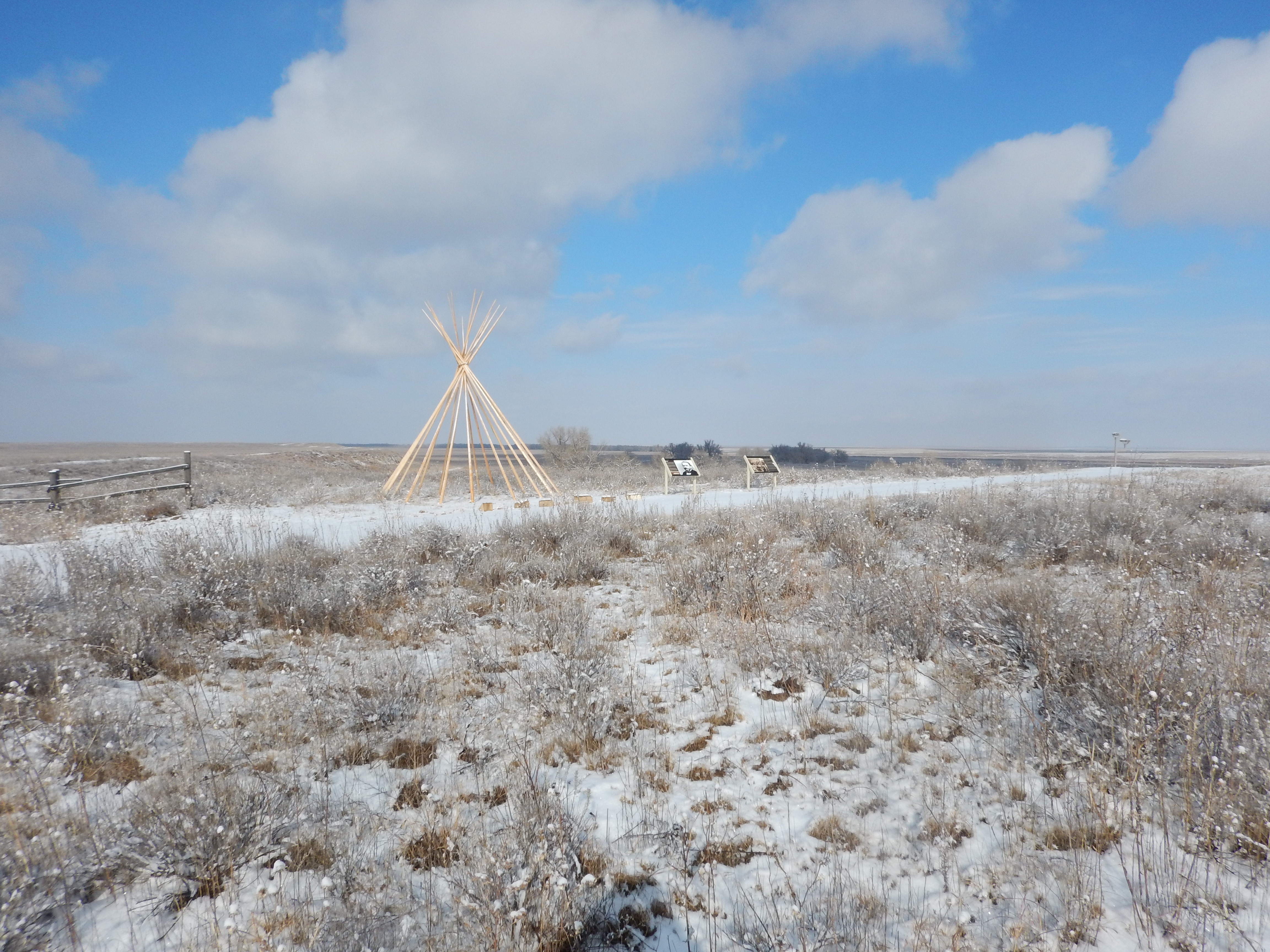
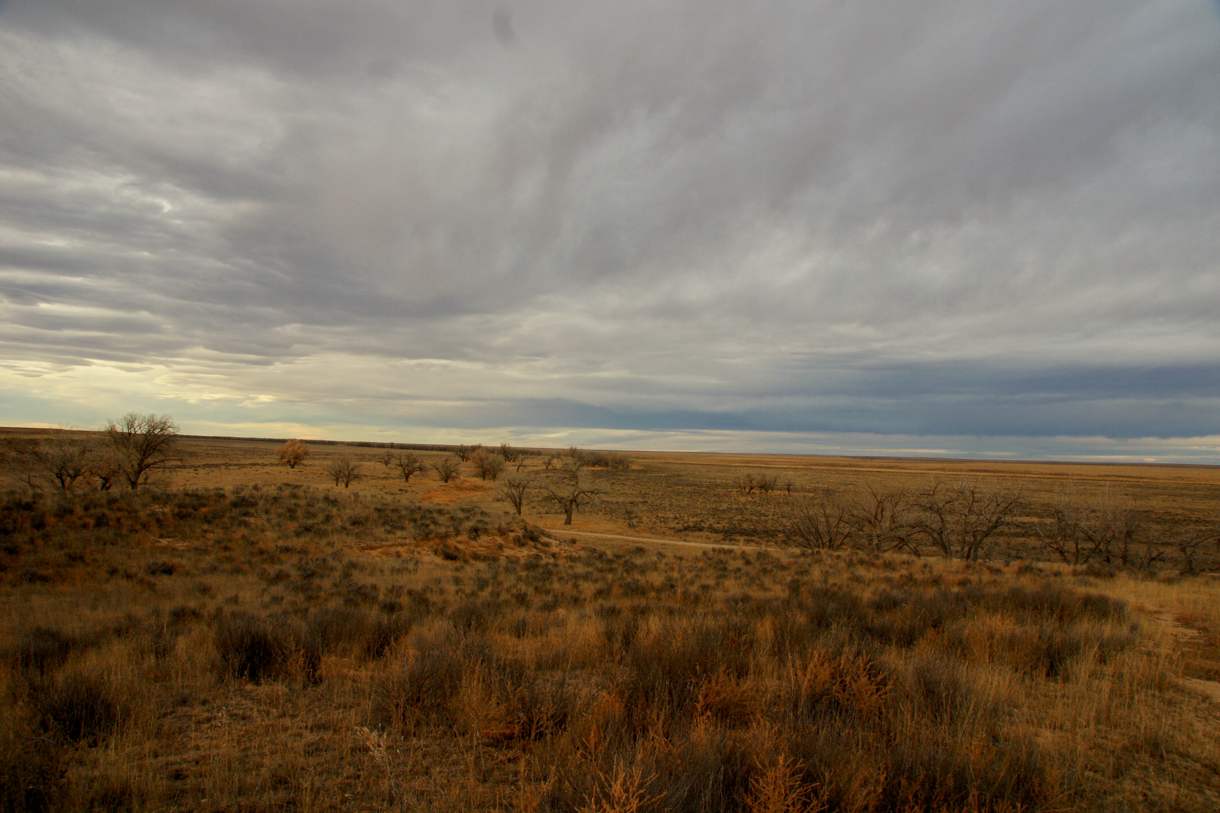
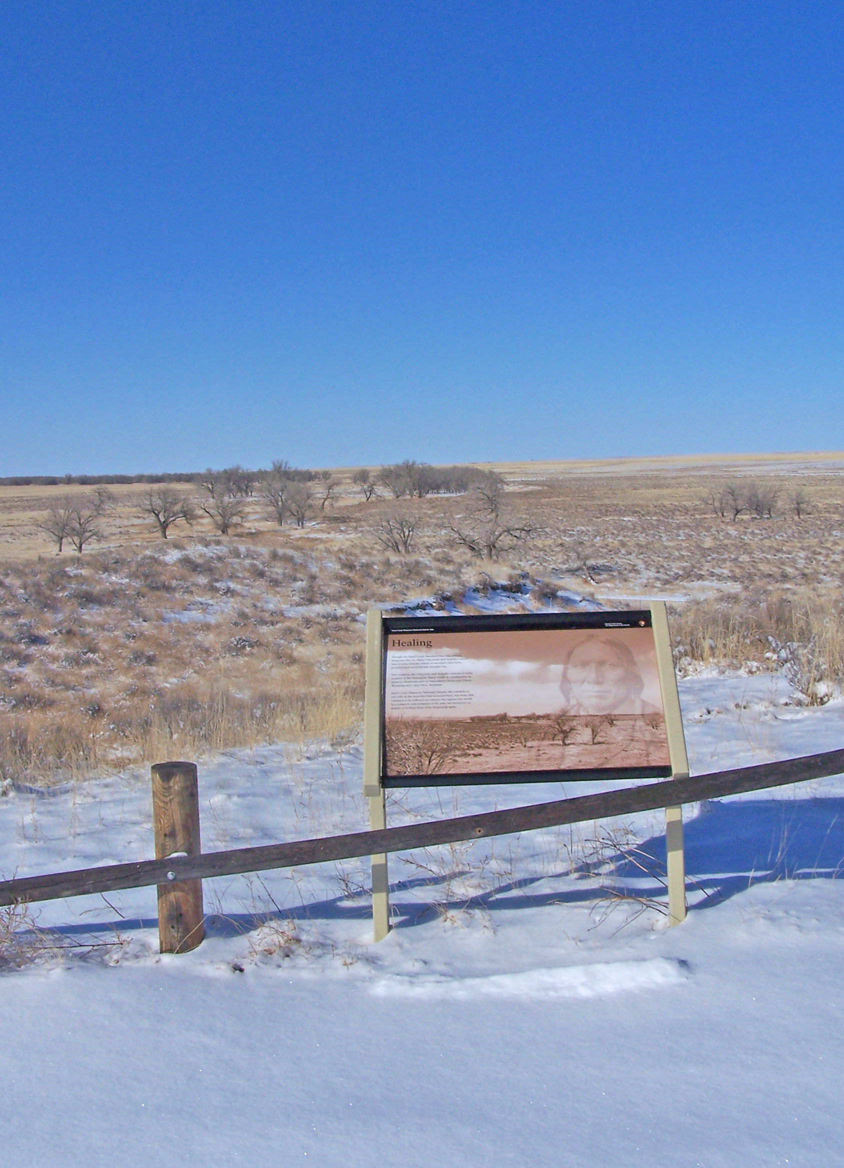
On November 29th, 1864, Chiefs Black Kettle, White Antelope, Left Hand and others were encamped with around 750 Arapaho and Cheyenne people in a valley by the Big Sandy Creek. A hope for peace, brought forth by Black Kettle was in the balance. It was a tragic day where the blood of the Cheyenne and Arapaho was shed, and a painful memory for generations of Native Americans was made.
From the National Park Service
History
The designation history for this site (every law, proclamation and order, and the administration behind each) is being researched and checked by the Library’s historians.
What to see and do
Activities
- Guided Tours
- Hiking
- Wildlife Watching
- Birdwatching
- Shopping
- Bookstore and Park Store
Plan your visit
Hours
Sand Creek Massacre National Historic Site: The park is located 23 miles outside of the town of Eads, Colorado and is open five days a week. Please view the directions tab for more information.
Getting there
The Sand Creek Massacre is located in Kiowa County, Colorado. To visit the site, follow Colorado State Highway 96 east off Highway 287 near Eads, or west off Highway 385 at Sheridan Lake. Near Chivington, turn north onto County Road 54/Chief White Antelope Way or at Brandon, turn north onto County Road 59. Follow these roads to their intersections with County Road W. The park entrance is along CR W a mile east (right) of CR 54 or several miles west (left) of CR 59.
Visitor centers
Weather
Weather conditions at the park vary considerably. Temperatures range from over 100°F in summer to under 20°F in winter. Visitors can expect blowing dust and sand year-round, especially during infrequent storms. Some of these storms produce violent tornadoes or large blizzards, so prepare accordingly, and contact the on-duty Ranger to ask about road conditions at (719)-438-5916
Phone: 7194385916
Whose lands these are
These lands are the ancestral and present-day homelands of Native nations. A section on whose lands these are is being prepared with tribal review. In the meantime, Native Land Digital offers a starting point.
Photos


Pair it with
- Amache National Historic Site NPS · 37 miles
- Bent's Old Fort National Historic Site NPS · 61 miles
- Comanche National Grassland USFS · 87 miles
- Cimarron National Grassland USFS · 107 miles
- Capulin Volcano National Monument NPS · 147 miles
- Rita Blanca National Grassland USFS · 150 miles