Other Designation · NPS · CA
Redwood National and State Parks
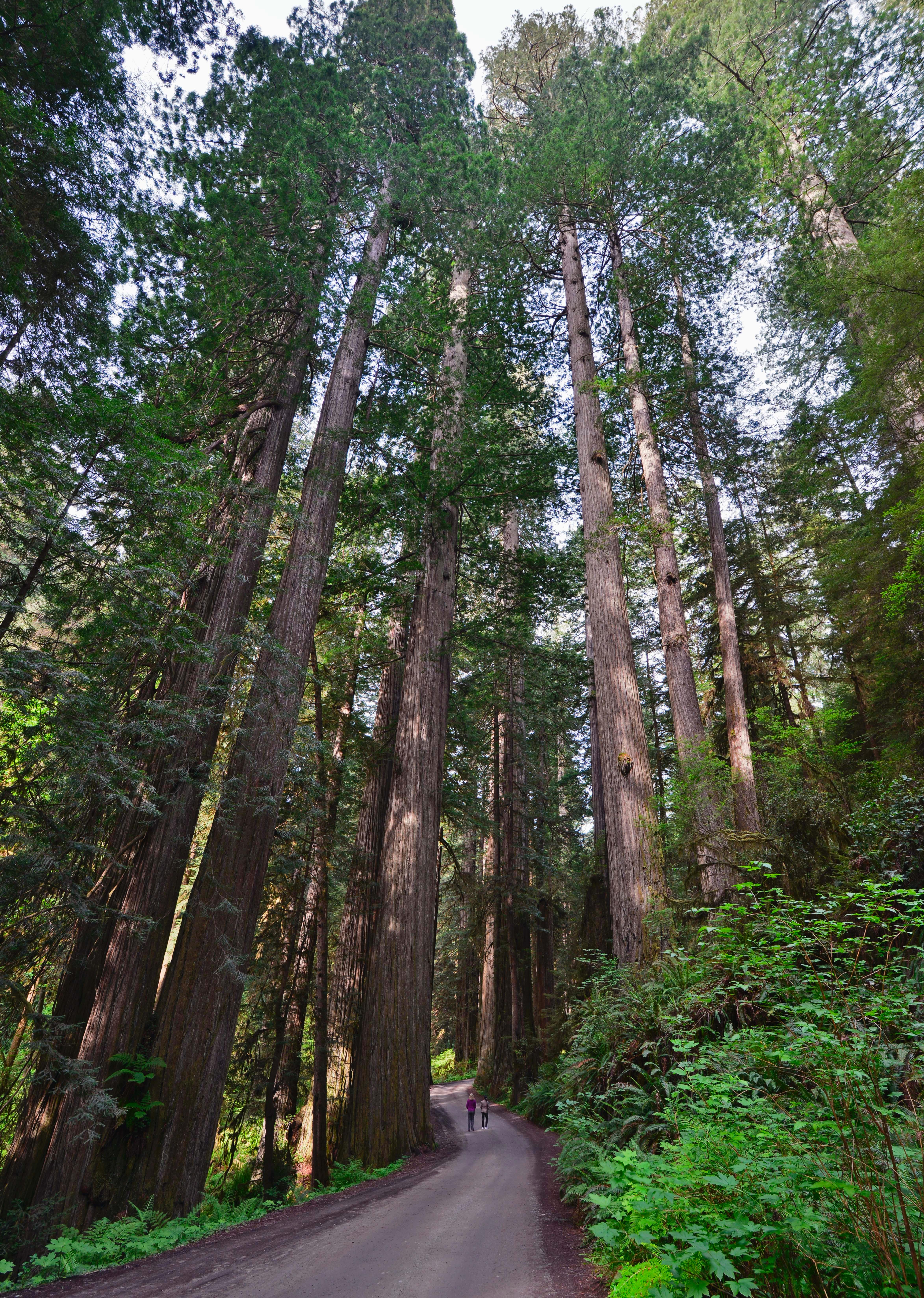
Photo: NPS Photo / Steve Olson, Fish-eye view of Redwood canopy
Alerts and conditions
Information DeMartin Trail and Campground
As part of CalTrans work to develop a new highway route that is more stable and safer, they will be undertaking geotechnical drilling this fall and winter. Hikers and campers in the area will likely see and hear heavy equipment at work and hear noise associated with the drilling, which may be 24 hours/day at times. Redwood National and State Parks has worked with CalTrans to minimize the impacts to users of this area while keeping the trail and campground open and accessible.
Information 44 Creek Bridge Failure
44 creek bridge is closed due to damage identified by a Federal Highway inspection team. This bridge is north of 44 Camp, approximately 7 miles south of the Redwood Creek trailhead and about 1 mile north of the Tall Trees river crossing. All trails remain open in the area, but crossing this ravine is dangerous and not advised. Hikers should plan to take alternative routes to 44 Camp, which will add at least 3.5 miles from Redwood Creek Trailhead. Stop by a visitor center for more information.
Caution Delays along Highway 101
There are multiple traffic stops along Highway 101 from Orick, CA to Crescent City, CA due to road construction. Extra time may be needed to travel throughout the park. Delay times may vary. Please stay alert and drive cautiously.
Weather High Surf Advisory issued November 8 at 12:17PM PST until November 8 at 10:00PM PST by NWS Eureka CA
* WHAT...For the High Surf Advisory, large breaking waves 22 to 24
feet. For the Coastal Flood Advisory, High astronomical tides
will cause minor flooding in low lying areas around Humboldt
Bay. Up to one half foot of saltwater inundation above ground
level is possible near shorelines and tidal waterways. Between
8.7 and 8.9 feet MLLW at the North Spit tide gauge is predicted.
* WHERE...Northern Coastal Humboldt County.
* WHEN...For the High Surf Advisory, until 10 PM PST this evening.
For the Coastal Flood Advisory, from 10 AM to noon PST Monday.
High tide is at 10:54 AM at the Humboldt Bay North Spit tide
gauge. Saltwater inundation will be possible 1 to 2 hours before
and after high tide.
* IMPACTS...Flooding of low lying areas around Humboldt Bay
including parks and roads with only isolated closures
expected. Flooding will likely impact Jackson Ranch Road in
the Arcata Bottoms and several roads in King Salmon. Dangerous
surf conditions and localized beach erosion. Beachcombing is
highly discouraged!.
* ADDITIONAL DETAILS...The large surf on Sunday will coincide
with high astronomical tides and high tidal anomalies. This
will allow significant runup onto area beaches and may
What to do: A Coastal Flood Advisory indicates that onshore winds and tides will combine to generate flooding of low areas along the shore. Feet Above Ground is locally defined as feet above the Highest Astronomical Tide or HAT. Large breaking waves along the coast will lead to increased wave run-up on beaches with waves topping and washing over large rocks and jetties. These large waves can be erratic and unpredictable. Use extra caution near the surf zone as these large waves will be capable of sweeping people into the frigid and turbulent ocean water. Mariners traversing the bar are urged to exercise
Read the full alert · Until Nov 9, 2026, 6:00 AM
Weather Coastal Flood Advisory issued November 8 at 12:17PM PST until November 9 at 12:00PM PST by NWS Eureka CA
* WHAT...For the High Surf Advisory, large breaking waves 22 to 24
feet. For the Coastal Flood Advisory, High astronomical tides
will cause minor flooding in low lying areas around Humboldt
Bay. Up to one half foot of saltwater inundation above ground
level is possible near shorelines and tidal waterways. Between
8.7 and 8.9 feet MLLW at the North Spit tide gauge is predicted.
* WHERE...Northern Coastal Humboldt County.
* WHEN...For the High Surf Advisory, until 10 PM PST this evening.
For the Coastal Flood Advisory, from 10 AM to noon PST Monday.
High tide is at 10:54 AM at the Humboldt Bay North Spit tide
gauge. Saltwater inundation will be possible 1 to 2 hours before
and after high tide.
* IMPACTS...Flooding of low lying areas around Humboldt Bay
including parks and roads with only isolated closures
expected. Flooding will likely impact Jackson Ranch Road in
the Arcata Bottoms and several roads in King Salmon. Dangerous
surf conditions and localized beach erosion. Beachcombing is
highly discouraged!.
* ADDITIONAL DETAILS...The large surf on Sunday will coincide
with high astronomical tides and high tidal anomalies. This
will allow significant runup onto area beaches and may
What to do: A Coastal Flood Advisory indicates that onshore winds and tides will combine to generate flooding of low areas along the shore. Feet Above Ground is locally defined as feet above the Highest Astronomical Tide or HAT. Large breaking waves along the coast will lead to increased wave run-up on beaches with waves topping and washing over large rocks and jetties. These large waves can be erratic and unpredictable. Use extra caution near the surf zone as these large waves will be capable of sweeping people into the frigid and turbulent ocean water. Mariners traversing the bar are urged to exercise
Read the full alert · Until Nov 9, 2026, 8:00 PM
Overview
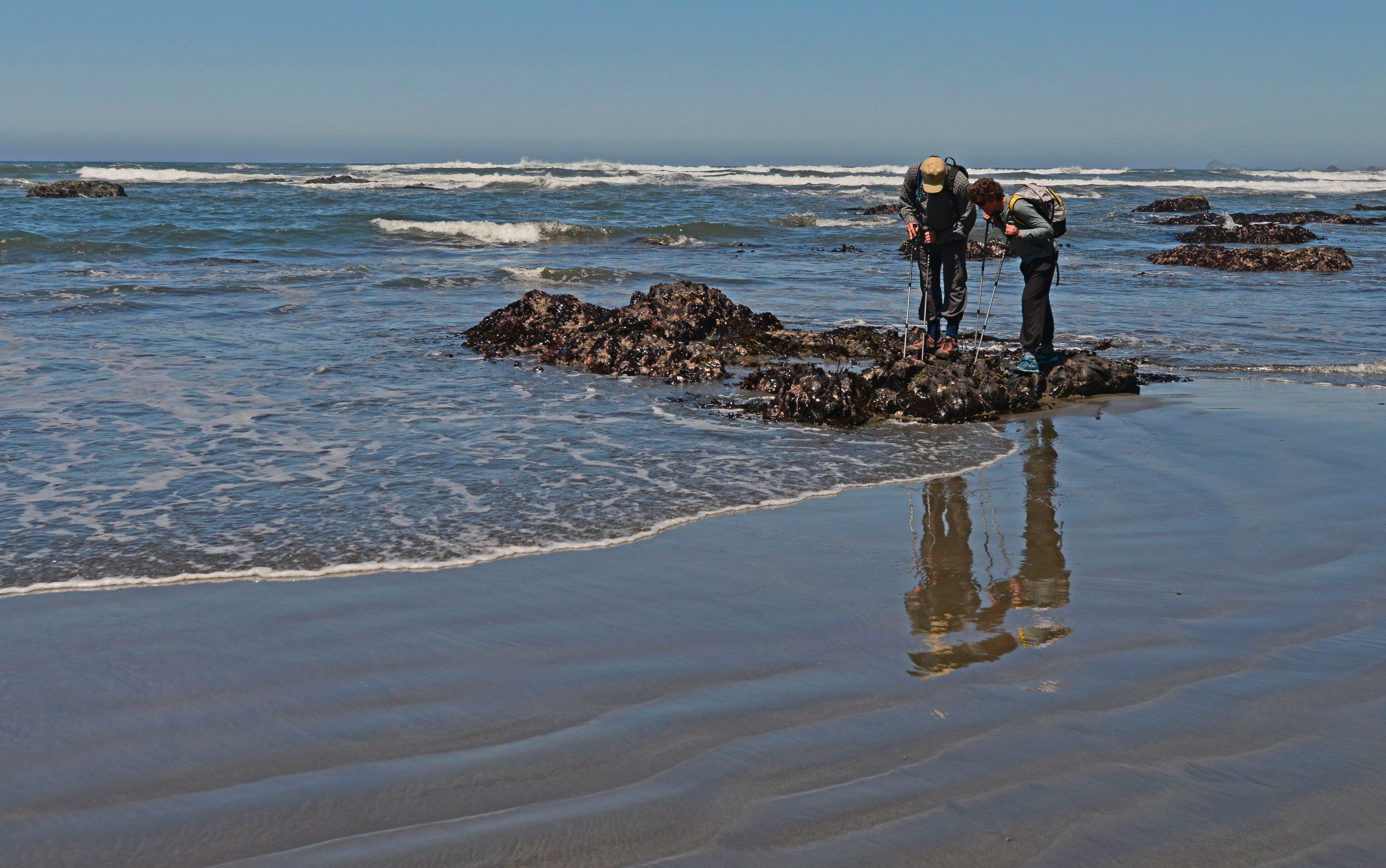
Renowned for the world’s tallest trees, Redwood’s landscapes span from open prairies and oak woodlands to pristine rivers and untamed coastline. This ancient home has supported people for thousands of years. The National Park Service and California State Parks now work to safeguard and rejuvenate these lands for everyone’s enjoyment, learning, and inspiration.
From the National Park Service
History
The designation history for this site (every law, proclamation and order, and the administration behind each) is being researched and checked by the Library’s historians.
What to see and do
Activities
- Arts and Culture
- Cultural Demonstrations
- Auto and ATV
- Scenic Driving
- Biking
- Mountain Biking
- Road Biking
- Camping
- Backcountry Camping
- Car or Front Country Camping
- Horse Camping (see also Horse/Stock Use)
- RV Camping
- Fishing
- Saltwater Fishing
- Food
- Picnicking
- Guided Tours
- Self-Guided Tours - Walking
- Self-Guided Tours - Auto
- Hiking
- Backcountry Hiking
- Front-Country Hiking
- Horse Trekking
- Horse Camping (see also camping)
- Horseback Riding
- Paddling
- Canoeing
- Kayaking
- Stand Up Paddleboarding
- Whitewater Rafting
- Junior Ranger Program
- Surfing
- Swimming
- Saltwater Swimming
- Wildlife Watching
- Birdwatching
- Park Film
- Shopping
- Bookstore and Park Store
Plan your visit
Hours
Operating Hours: The national and state parks are always open to enjoy. Roads, trails and public access remain open year round. Some campgrounds and visitor centers are closed - or have reduced hours - in the off-season (October-May)
Getting there
Redwood National and State Parks is located in northernmost coastal California - almost on the Oregon border. The parks are about 60-miles long, with four visitor centers from north to south. We are a six to seven-hour drive (325 miles) north of San Francisco, a six-hour drive (330 miles) south of Portland, OR and a four-hour drive (170 miles) west of Redding, CA.
Visitor centers
- Thomas H. Kuchel Visitor Center
- Prairie Creek Visitor Center
- Hiouchi Visitor Center
- Crescent City Information Center
- Jedediah Smith Visitor Center
Campgrounds
- Gold Bluffs Beach Campground - Prairie Creek Redwoods State Park (26 sites) — reserve
- Elk Prairie Campground - Prairie Creek Redwoods State Park (75 sites) — reserve
- Jedediah Smith Campground - Jedediah Smith Redwoods State Park (86 sites) — reserve
- Mill Creek Campground - Del Norte Coast Redwoods State Park (145 sites) — reserve
Weather
Visitors should be prepared for cooler and damp weather. Dress in layers and expect to get wet. Year-round temperatures along California's redwood coast: mid-40s°F (7°C) to mid-60s°F (18°C). Summer can be foggy, with highs occasionally reaching low 70s°F (20°C). Winters are cooler with considerable rain. October through April averages 60-80 inches of rain over the region.
Phone: 7074646101
Whose lands these are
These lands are the ancestral and present-day homelands of Native nations. A section on whose lands these are is being prepared with tribal review. In the meantime, Native Land Digital offers a starting point.
Photos

Pair it with
- Six Rivers National Forest USFS · 27 miles
- Castle Rock National Wildlife Refuge FWS · 29 miles
- Smith River National Recreation Area USFS · 30 miles
- Klamath National Forest USFS · 46 miles
- Humboldt Bay National Wildlife Refuge FWS · 47 miles
- Headwaters Forest Reserve BLM · 50 miles