National Seashore and Lakeshore · NPS · MI
Pictured Rocks National Lakeshore
Photo: NPS Photo, Autumn Colors at Miners Beach
Alerts and conditions
Park Closure Munising Falls Trail Closed Until Further Notice
The Munising Falls Trail within Pictured Rocks National Lakeshore is closed until further notice. Approximately 75-feet of the paved trail was washed out April 28th from recent heavy rainfall and seasonal snow melt.
Overview
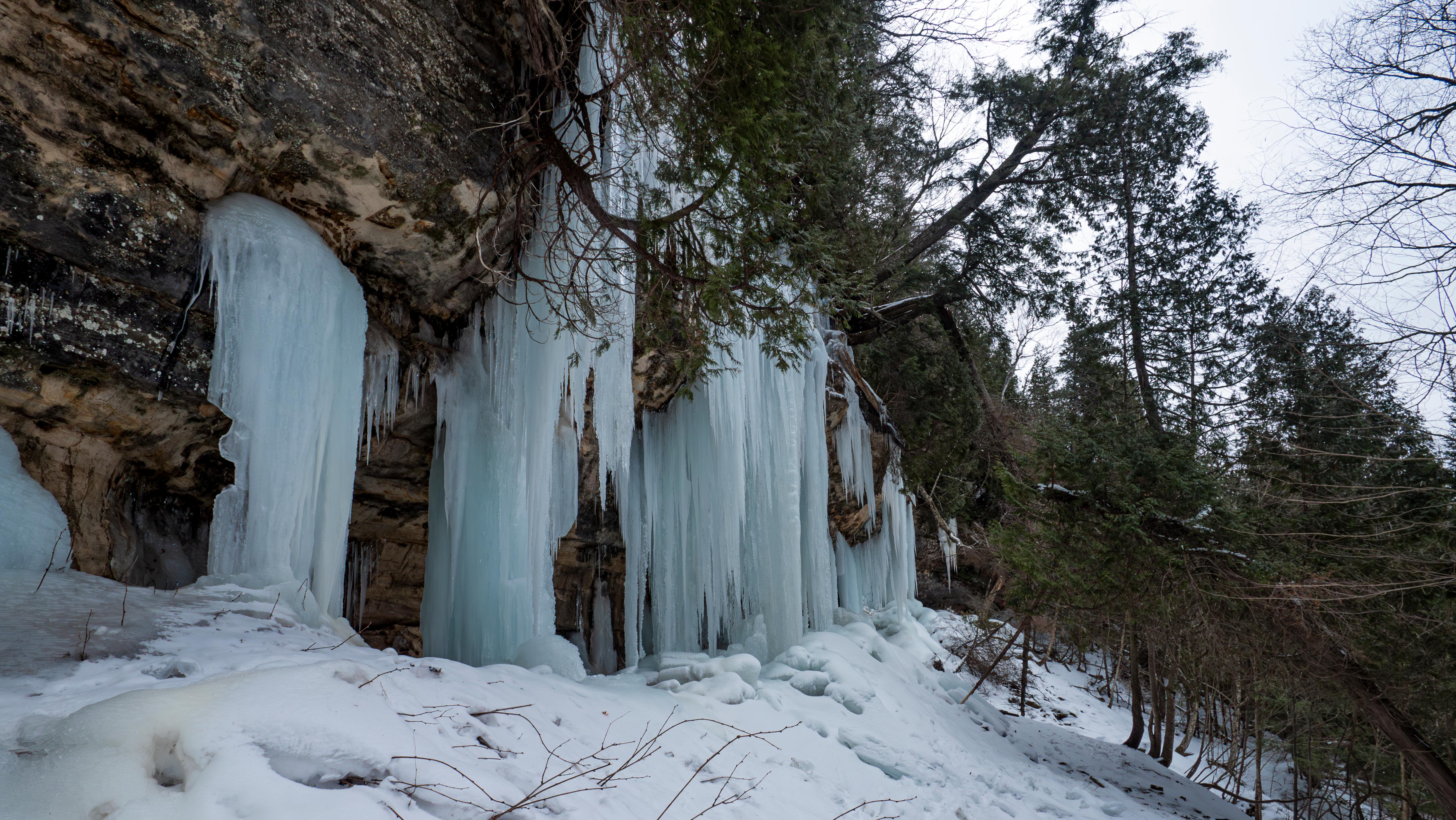
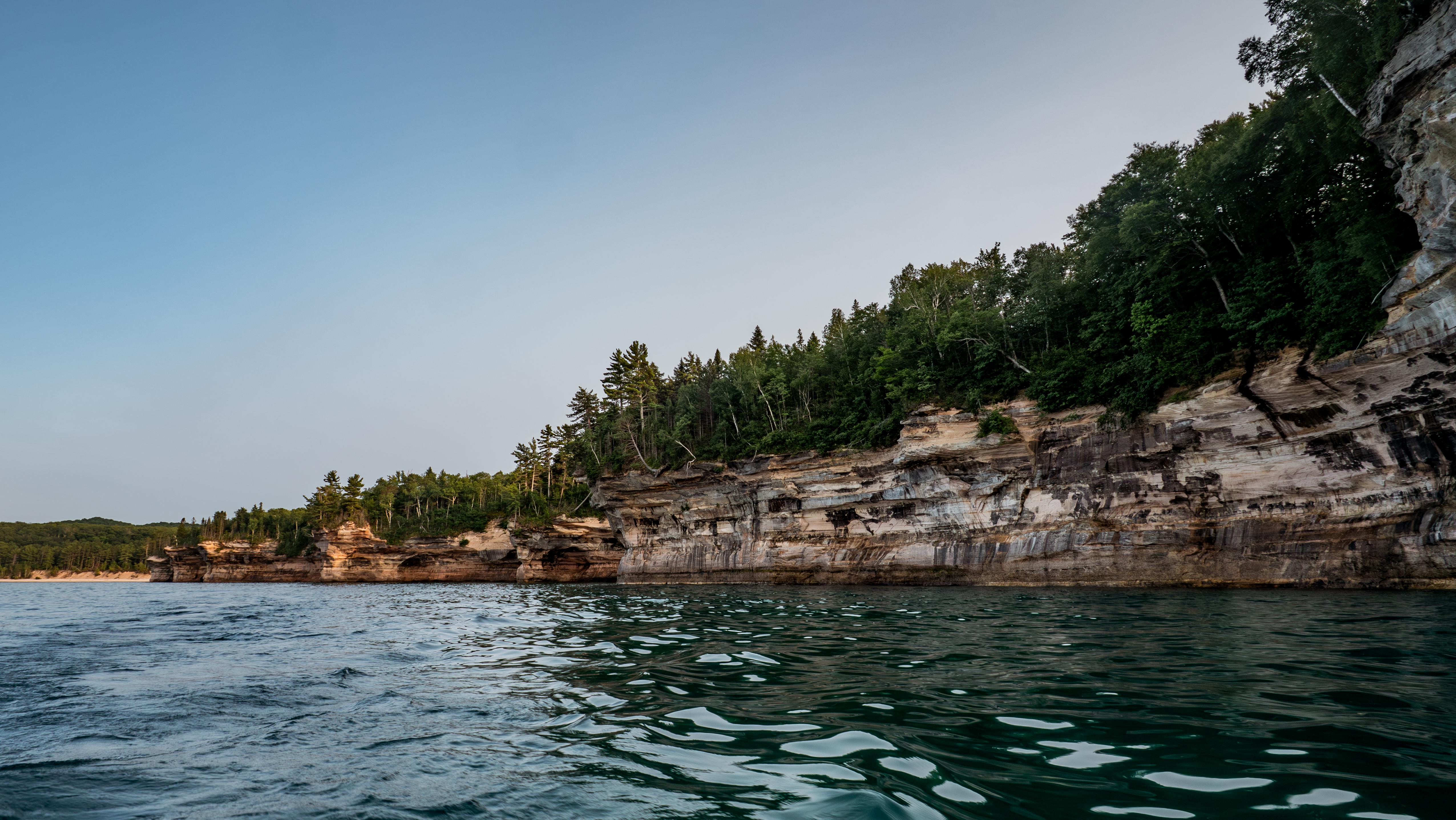
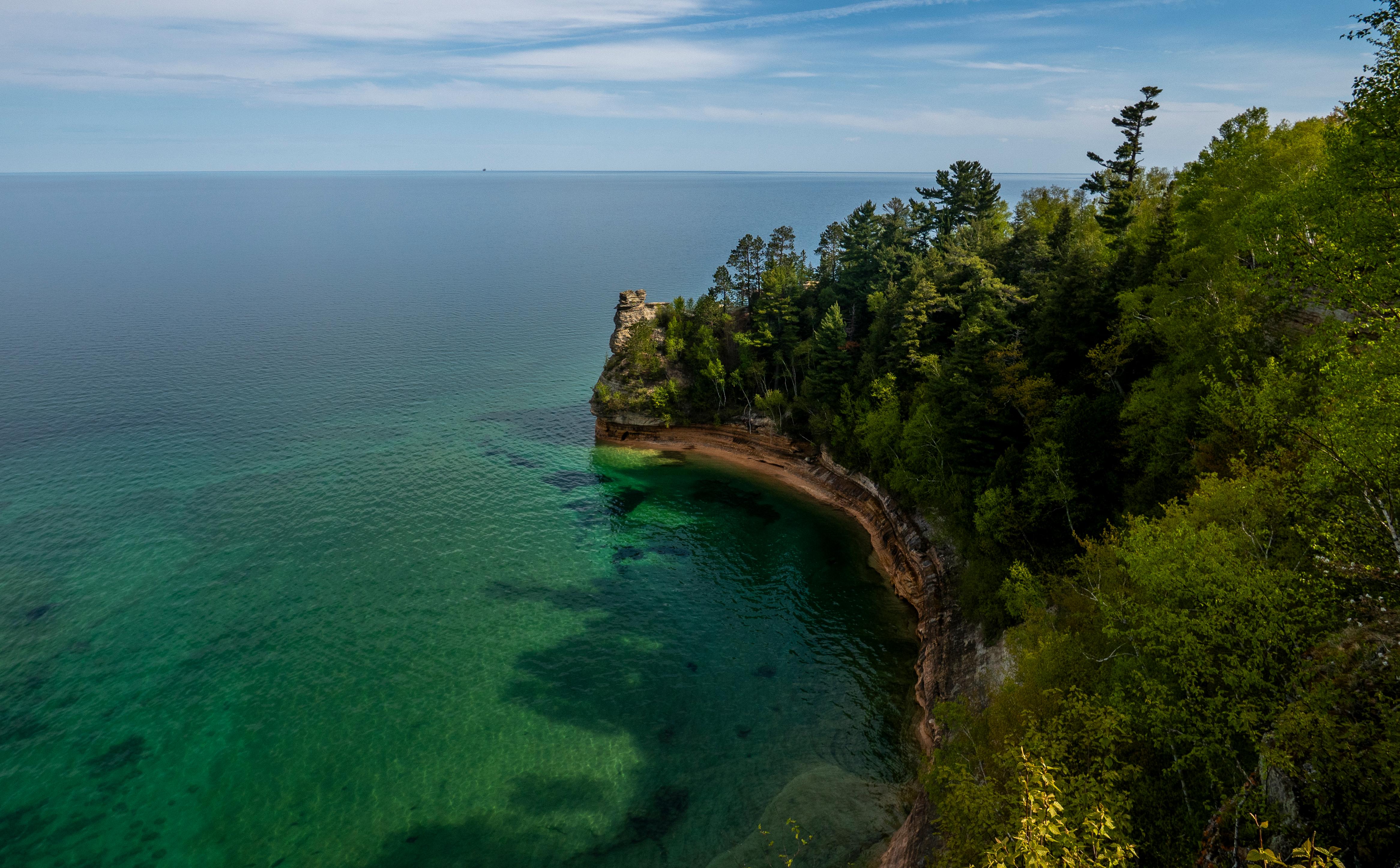
Sandstone cliffs, beaches, waterfalls, sand dunes, inland lakes, deep forest, and wild shoreline beckon you to visit Pictured Rocks National Lakeshore. The power of Lake Superior shapes the park's coastal features and affects every ecosystem, creating a unique landscape to explore. Hiking, camping, sightseeing, and four-season outdoor opportunities abound.
From the National Park Service
History
The designation history for this site (every law, proclamation and order, and the administration behind each) is being researched and checked by the Library’s historians.
What to see and do
Activities
- Auto and ATV
- Scenic Driving
- Astronomy
- Stargazing
- Biking
- Road Biking
- Boating
- Motorized Boating
- Jet Skiing
- Boat Tour
- Camping
- Backcountry Camping
- Canoe or Kayak Camping
- Car or Front Country Camping
- Group Camping
- RV Camping
- Climbing
- Ice Climbing
- Fishing
- Freshwater Fishing
- Fly Fishing
- Food
- Picnicking
- Guided Tours
- Boat Tour
- Hands-On
- Volunteer Vacation
- Hiking
- Backcountry Hiking
- Front-Country Hiking
- Hunting and Gathering
- Hunting
- Paddling
- Canoeing
- Canoe or Kayak Camping
- Kayaking
- Stand Up Paddleboarding
- Junior Ranger Program
- SCUBA Diving
- Skiing
- Cross-Country Skiing
- Snow Play
- Snowmobiling
- Snowshoeing
- Swimming
- Freshwater Swimming
- Wildlife Watching
- Birdwatching
- Museum Exhibits
- Shopping
- Bookstore and Park Store
Plan your visit
Hours
Pictured Rocks National Lakeshore: Pictured Rocks National Lakeshore is open year-round, 24 hours a day, though most roads are closed by snow in the winter. Sand Point Road is the only park road plowed in winter.
Fees and passes
- Entrance - Private Vehicle — $25.00
- Entrance - Motorcycle — $20.00
- Entrance - Snowmobile — $15.00
- Entrance - Per Person — $15.00
- Commercial Entrance - Sedan — $25.00
- Commercial Entrance - Van — $40.00
- Commercial Entrance - Mini-bus — $40.00
- Commercial Entrance - Motor Coach — $100.00
- Annual Entrance - Park — $45.00
The America the Beautiful pass covers entrance fees at federal recreation lands across all four agencies.
Getting there
Pictured Rocks NL is located on the south shore of Lake Superior in Michigan's Upper Peninsula, between the towns of Munising (west) and Grand Marais (east). Access the west side of the park via Michigan highways M-28 and M-94 to Munising. State highway M-77 leads to Grand Marais on the east side. Alger County Road H-58 runs parallel and through the park, providing access to spur roads that lead to scenic overlooks, trailheads, campgrounds, beaches, etc. Most park roads are closed in winter due to snow.
Visitor centers
- Munising Falls Visitor Center
- Grand Sable Visitor Center
- Miners Castle Visitor Contact Station
Campgrounds
- Little Beaver Lake Campground (8 sites) — reserve
- Twelvemile Beach Campground (36 sites) — reserve
- Hurricane River Campground (21 sites) — reserve
- Masse Homestead Group Backpacking Site (1 sites) — reserve
- Au Sable East Group Backpacking Site (1 sites) — reserve
- Sevenmile Creek Group Backpacking Site (1 sites) — reserve
- Trappers Lake Group Backpacking Site (1 sites) — reserve
- Lowney Creek Group Backpacking Site (1 sites) — reserve
- Coves Group Backpacking Site (1 sites) — reserve
- Mosquito River Group Backpacking Site (1 sites) — reserve
- Cliffs Group Backpacking Site (1 sites) — reserve
- Masse Homestead Individual Backpacking Sites (3 sites) — reserve
- Au Sable East Individual Backpacking Sites (6 sites) — reserve
- Benchmark Individual Backpacking Sites (6 sites) — reserve
- Sevenmile Creek Individual Backpacking Sites (5 sites) — reserve
- Trappers Lake Individual Backpacking Sites (5 sites) — reserve
- Pine Bluff Individual Backpacking Sites (5 sites) — reserve
- Chapel Individual Backpacking Sites (6 sites) — reserve
- Beaver Creek Individual Backpacking Sites (6 sites) — reserve
- Lowney Creek Individual Backpacking Sites (4 sites) — reserve
- Coves Individual Backpacking Sites (5 sites) — reserve
- Mosquito River Individual Backpacking Sites (5 sites) — reserve
- Potato Patch Individual Backpacking Sites (3 sites) — reserve
- Cliffs Individual Backpacking Sites (3 sites) — reserve
- Grand Sable Lake Boat-In Site (1 sites) — reserve
Weather
Summers are pleasant with the average highs in June, July, and August in the 70s°F, and lows in the low 50s°F. The coldest months are December through March with average highs of 25°F to 32°F, and average lows in the teens. Annual precipitation averages 31 inches; average annual snowfall is about 140 inches, although winters with more than 200 inches are not uncommon. Snow generally covers the ground from late November through late April.
Phone: 906-387-3700
Whose lands these are
These lands are the ancestral and present-day homelands of Native nations. A section on whose lands these are is being prepared with tribal review. In the meantime, Native Land Digital offers a starting point.
Photos
Pair it with
- Grand Island National Recreation Area USFS · 17 miles
- Seney National Wildlife Refuge FWS · 24 miles
- Hiawatha National Forest USFS · 36 miles
- Michigan Islands National Wildlife Refuge FWS · 78 miles
- Huron National Wildlife Refuge FWS · 83 miles
- Gravel Island National Wildlife Refuge FWS · 96 miles