Battlefield and Military Park · NPS · TX
Palo Alto Battlefield National Historical Park
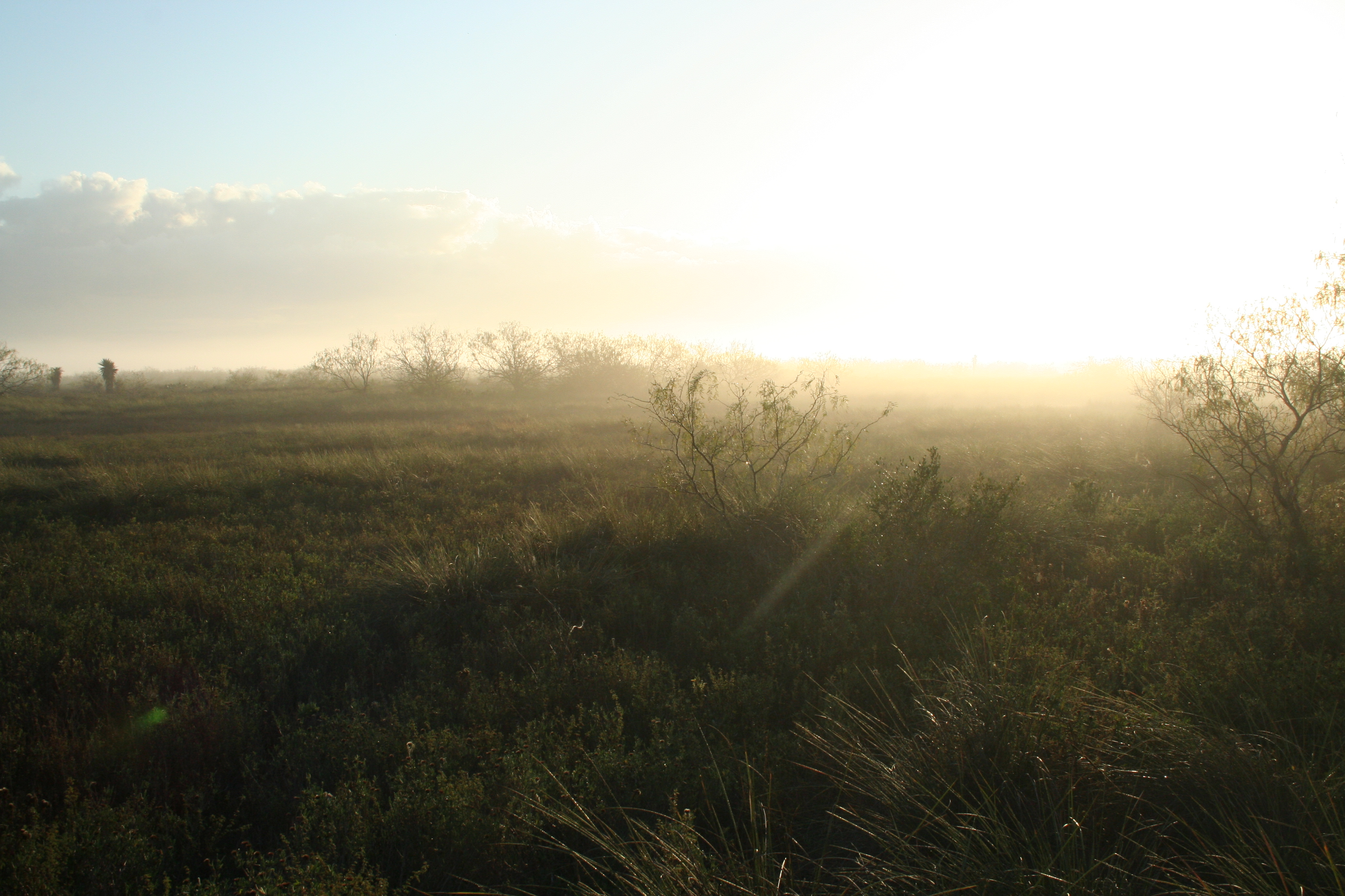
Photo: NPS, Sunset over the battlefield
Alerts and conditions
Weather Flood Advisory issued November 8 at 7:47PM CST until November 8 at 10:45PM CST by NWS Brownsville TX
* WHAT...Flooding caused by excessive rainfall is expected.
* WHERE...North Central Cameron County in deep south Texas...
Central Willacy County in deep south Texas...
* WHEN...Until 1045 PM CST.
* IMPACTS...Minor flooding in low-lying and poor drainage areas.
Water over roadways. Ponding of water in urban or other areas is
occurring or is imminent.
* ADDITIONAL DETAILS...
- At 747 PM CST, Doppler radar indicated heavy rain due to
thunderstorms. Minor flooding is ongoing or expected to begin
shortly in the advisory area. Between 1 and 3 inches of rain have
fallen.
- Additional rainfall amounts up to 1 inch are expected over the
area. This additional rain will result in minor flooding.
- Some locations that will experience flooding include...
Arroyo City, Port Mansfield, San Perlita, Porfirio, Santa Monica,
Willamar, Port Mansfield Chamber Of Commerce, Port Mansfield
Airport, San Perlita High School and Monte Grande.
- http://www.weather.gov/safety/flood
What to do: Turn around, don't drown when encountering flooded roads. Most flood deaths occur in vehicles. Be especially cautious at night when it is harder to recognize the dangers of flooding. Be aware of your surroundings and do not drive on flooded roads. Please report observed flooding to local emergency services or law enforcement and request they pass this information to the National Weather Service when you can do so safely.
Read the full alert · Until Nov 9, 2026, 4:45 AM
Overview
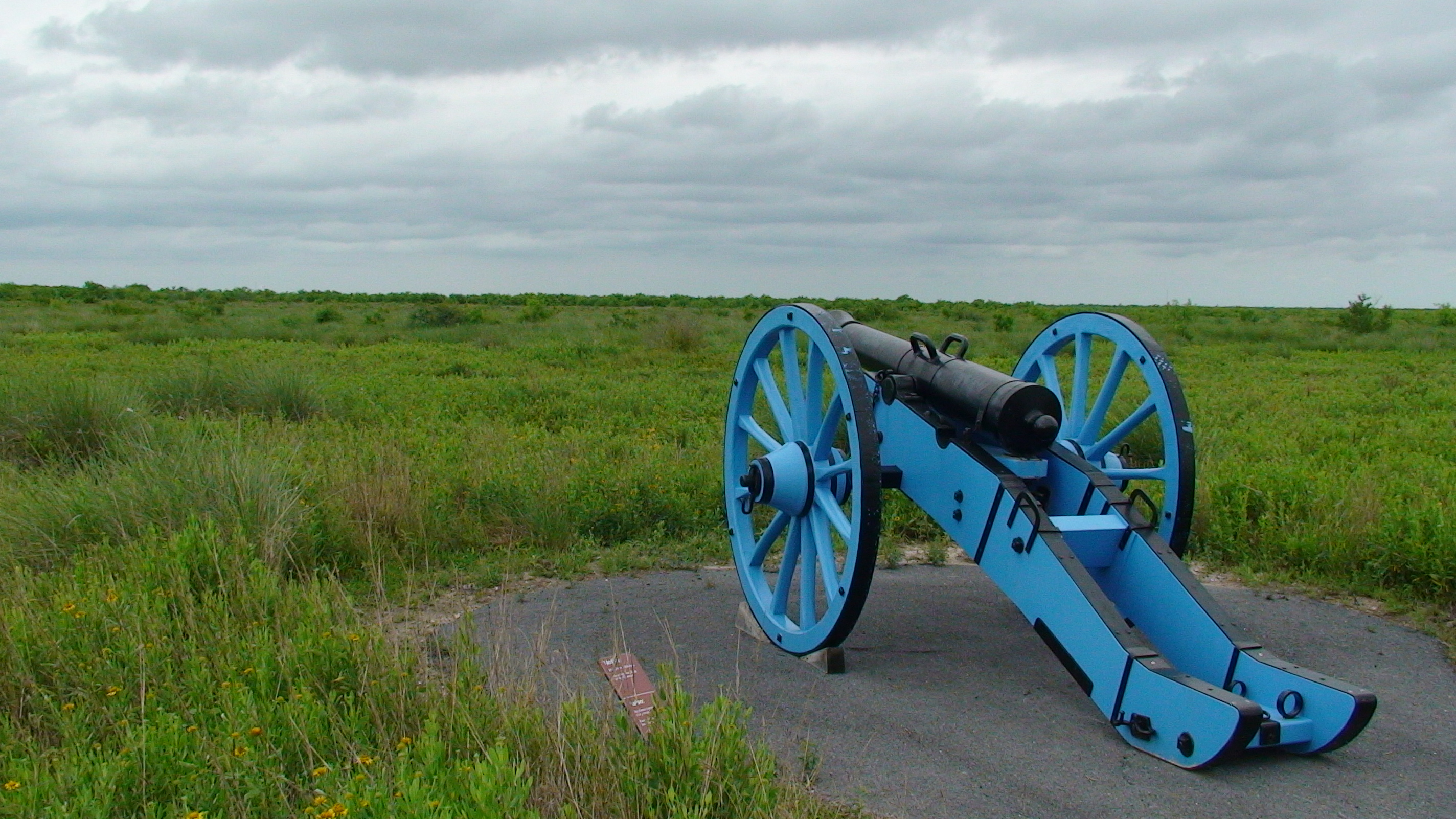
On May 8, 1846, U.S. and Mexican troops clashed on the prairie of Palo Alto. The battle was the first in a two-year long war that changed the map of North America. Although the two countries have developed strong bonds and friendly ties since the war ended in 1848, these neighbors continue to contend with the legacy of the war.
From the National Park Service
History
The designation history for this site (every law, proclamation and order, and the administration behind each) is being researched and checked by the Library’s historians.
What to see and do
Activities
- Arts and Culture
- Cultural Demonstrations
- Biking
- Road Biking
- Guided Tours
- Self-Guided Tours - Walking
- Hiking
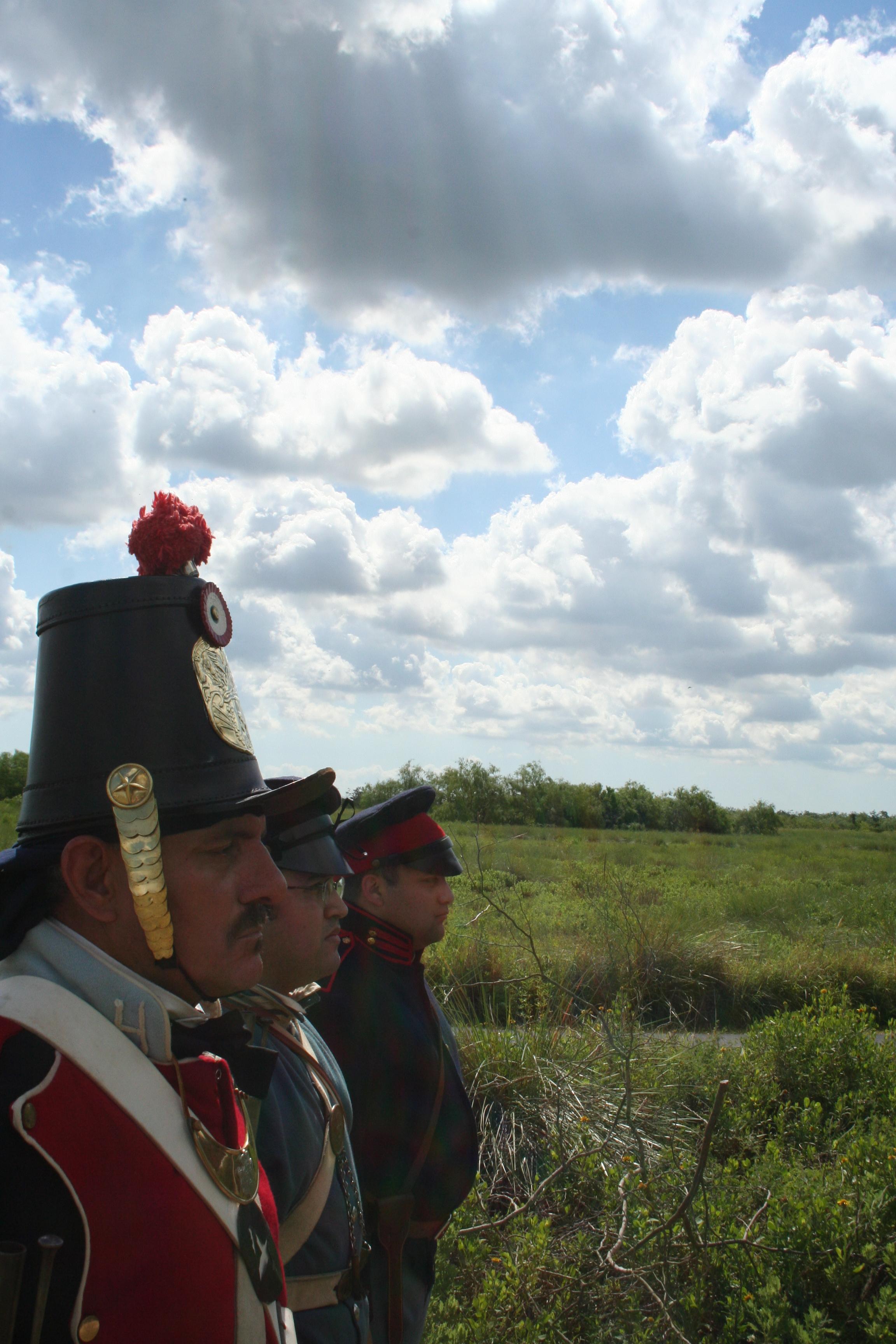
- Living History
- Historic Weapons Demonstration
- First Person Interpretation
- Junior Ranger Program
- Wildlife Watching
- Birdwatching
- Park Film
- Museum Exhibits
- Shopping
- Bookstore and Park Store
- Gift Shop and Souvenirs
Plan your visit
Hours
Palo Alto Battlefield: Park grounds are open daily from 8 am to 5 pm. Visitor center hours of operation differ from park hours of operation and are dependent upon staffing. The visitor center may be closed when the grounds are open. Park trails close to new traffic at 4:30 pm. All gates are locked at 5 pm. All vehicles must clear the park by 5 pm.
Resaca de la Palma Battlefield Unit: The site officially closes at dusk and is closed on all federal holidays.
Getting there
The park is located on Brownsville's north side, near the city of Los Fresnos. It is just north of the intersection of FM 1847 (Paredes Line Rd.) and FM 511/FM 550.
Visitor centers
Weather
Summers are hot and humid. Tropical weather systems generally affect the area from August to October. Winters are usually mild but cold fronts can drop temperatures by up to 30 degrees in about an hour.
Phone: 9565412785
Whose lands these are
These lands are the ancestral and present-day homelands of Native nations. A section on whose lands these are is being prepared with tribal review. In the meantime, Native Land Digital offers a starting point.
Photos
Pair it with
- Laguna Atascosa National Wildlife Refuge FWS · 12 miles
- Santa Ana National Wildlife Refuge FWS · 42 miles
- Lower Rio Grande Valley National Wildlife Refuge FWS · 45 miles
- Padre Island National Seashore NPS · 71 miles