Wild, Scenic and National River · NPS · TN
Obed Wild & Scenic River
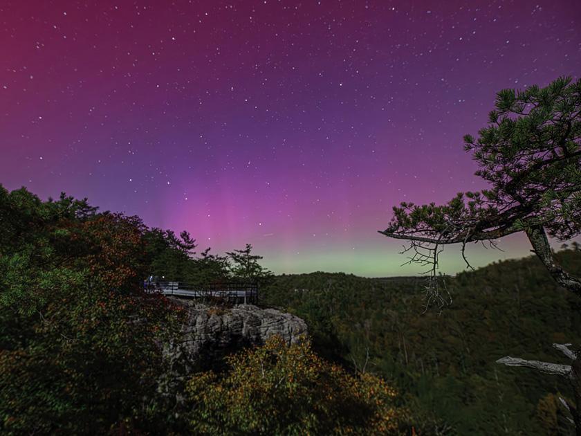
Photo: NPS Photo, Obed WSR in Fall
Alerts and conditions
Information Lilly Bluff Overlook Decking Replacement
Decking replacement is underway at Lilly Bluff Overlook and is expected to take about six weeks. The overlook will remain open, but some sections will be temporarily closed as repairs are completed.
Overview
The Obed Wild and Scenic River looks much the same today as it did when the first white settlers strolled its banks in the late 1700s. While meagerly populated due to poor farming soil, the river was a hospitable fishing and hunting area for trappers and pioneers. Today, the Obed stretches along the Cumberland Plateau and offers visitors a variety of outdoor recreational opportunities.
From the National Park Service
History
The designation history for this site (every law, proclamation and order, and the administration behind each) is being researched and checked by the Library’s historians.
What to see and do
Activities
- Astronomy
- Stargazing
- Camping
- Climbing
- Rock Climbing
- Fishing
- Freshwater Fishing
- Hiking
- Hunting and Gathering
- Paddling
- Canoe or Kayak Camping
- Junior Ranger Program
- Wildlife Watching
- Birdwatching
- Park Film
Plan your visit
Hours
The park is open every day.: The park is open every day.
Getting there
The Obed Wild & Scenic River Visitor Center is located at 208 North Maiden Street in downtown Wartburg, Tennessee. Please use the link for more information.
Visitor centers
Campgrounds
- Rock Creek Campground (11 sites) — reserve
Weather
The weather along the Cumberland Plateau can be best described as unpredictable. Each season brings its own weather patterns. Summers are generally hot and humid, with high temperatures sometimes eclipsing 90 degrees. The low temperatures in winter often dip below freezing. Spring sees the most amount of precipitation, but rainfall can occur in various amounts throughout the year.
Phone: 4233466294
Whose lands these are
These lands are the ancestral and present-day homelands of Native nations. A section on whose lands these are is being prepared with tribal review. In the meantime, Native Land Digital offers a starting point.
Photos


Pair it with
- Big South Fork National River & Recreation Area NPS · 30 miles
- Cumberland Gap National Historical Park NPS · 66 miles
- Mill Springs Battlefield National Monument NPS · 67 miles
- Great Smoky Mountains National Park NPS · 70 miles
- Cherokee #1 National Game Refuge USFS · 73 miles
- Nantahala National Forest USFS · 85 miles