Historic Site and Historical Park · NPS · ID, MT, OR, WA
Nez Perce National Historical Park
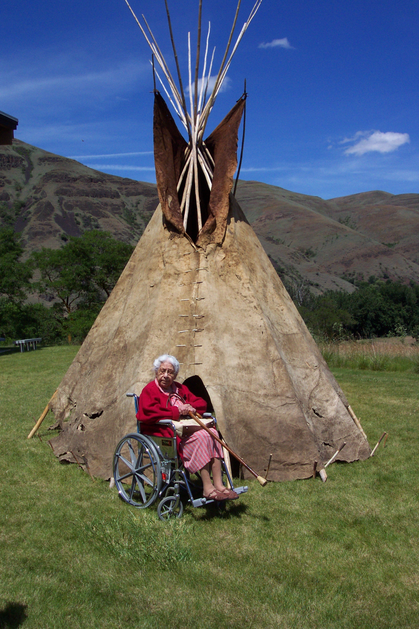
Photo: NPS Photo, Painted Tipi
Alerts and conditions
Overview
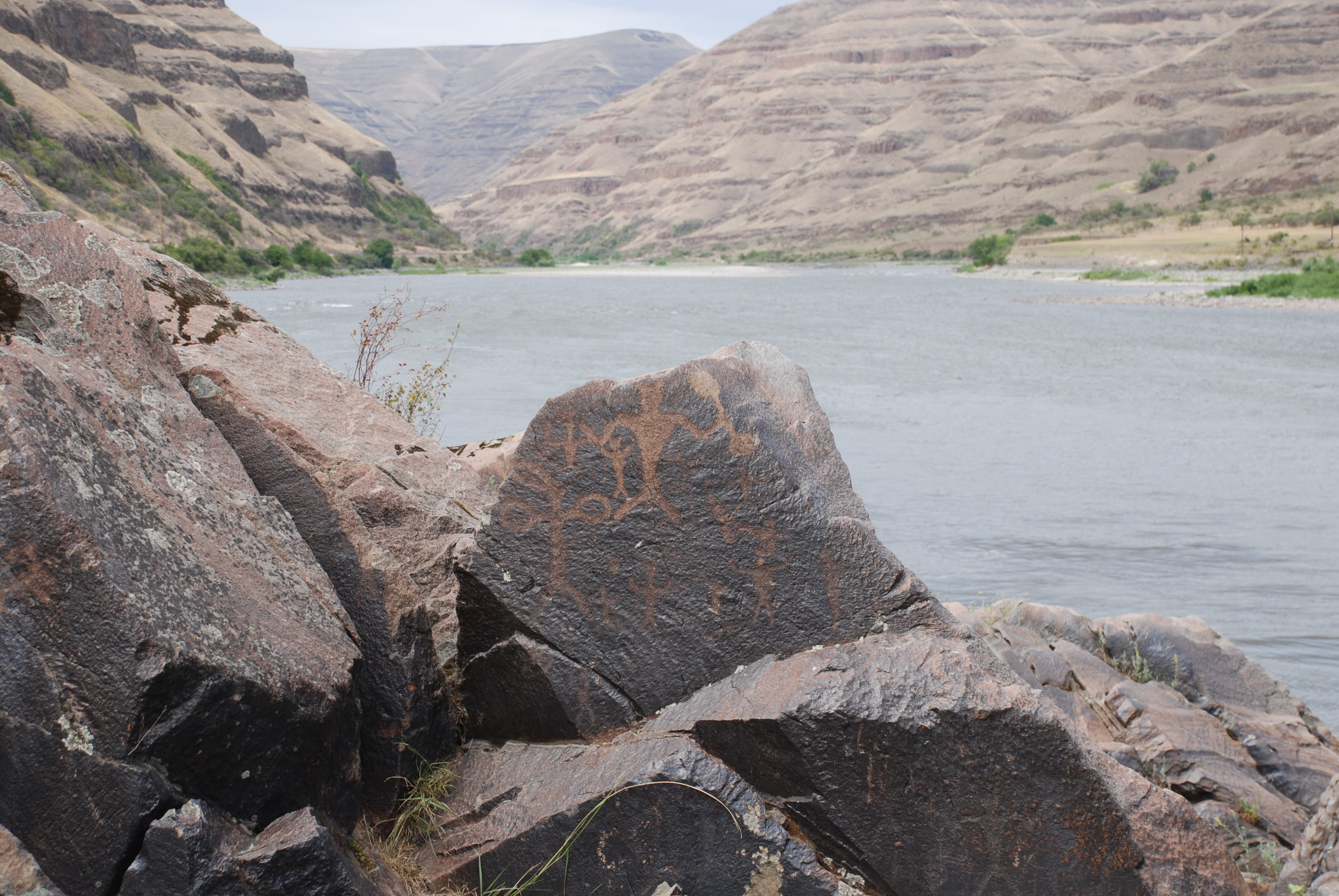
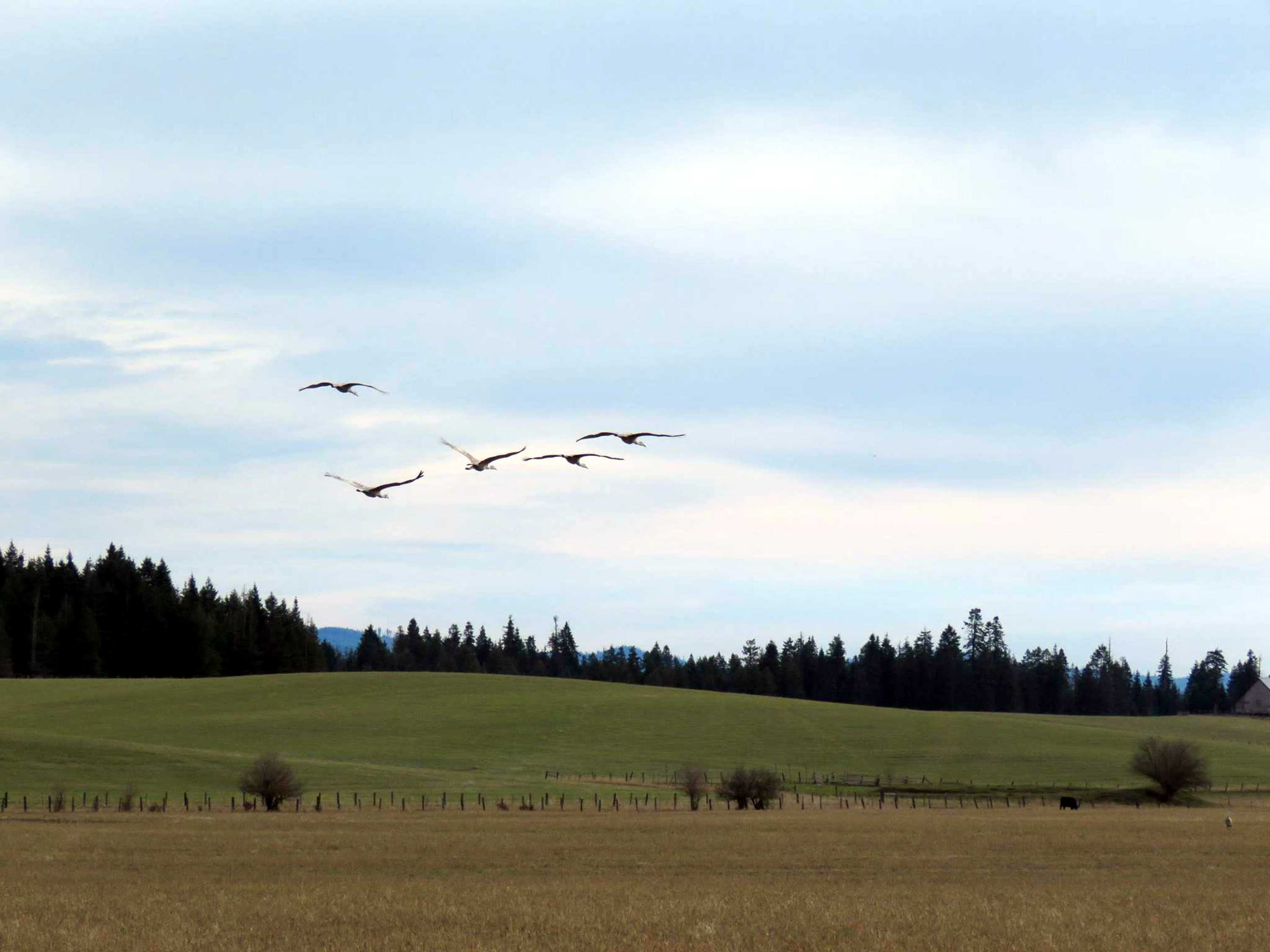
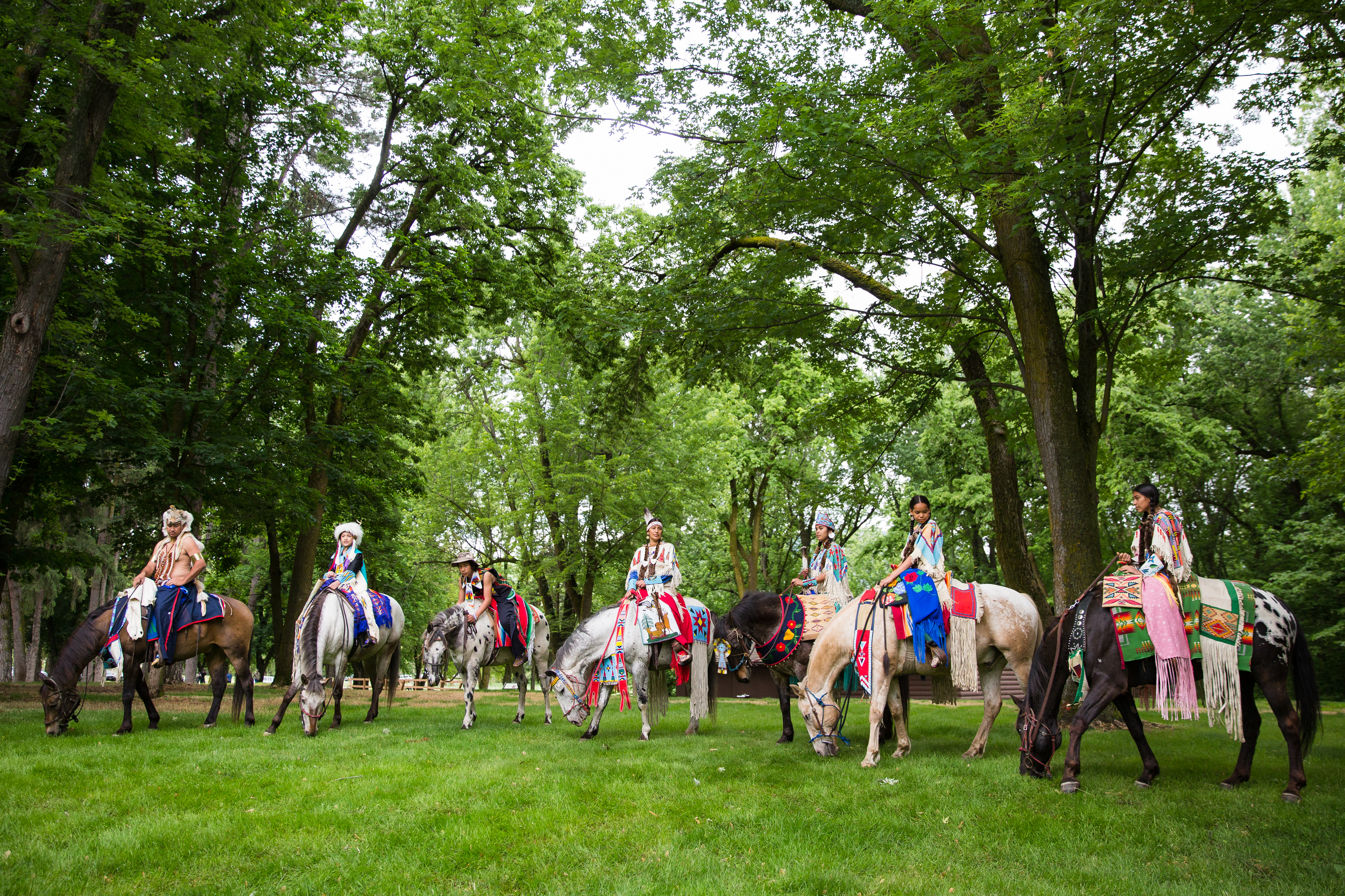
Since time immemorial, the valleys, prairies, mountains, and plateaus of the inland northwest have been home to the nimíipuu (Nez Perce) people. Extremely resilient, they survived the settling of the United States and adapted to a changed world. Nez Perce National Historical Park consists of 38 places important to the history and culture of the nimíipuu. Explore these places. Learn their stories.
From the National Park Service
History
The designation history for this site (every law, proclamation and order, and the administration behind each) is being researched and checked by the Library’s historians.
What to see and do
Activities
- Arts and Culture
- Craft Demonstrations
- Cultural Demonstrations
- Food
- Picnicking
- Guided Tours
- Self-Guided Tours - Walking
- Self-Guided Tours - Auto
- Hiking
- Horse Trekking
- Junior Ranger Program
- Wildlife Watching
- Birdwatching
- Park Film
- Museum Exhibits
- Shopping
- Bookstore and Park Store
- Gift Shop and Souvenirs
Plan your visit
Hours
Nez Perce National Historical Park, Spalding Visitor Center: Summer visitor center operating hours are 8:30 am - 4:00 pm daily. In the winter, the visitor center is open 5-days a week from Tuesday - Saturday from 8:30 am - 4:00 pm. Closed Sunday and Monday. The visitor center is closed Thanksgiving, Christmas, and New Year's days.
Getting there
Driving south bound on U.S. Highway 95 you will find the Visitor Center 10 miles from Lewiston, ID. Roughly one mile after crossing the Clearwater River you will find the park entrance on your left. When driving north on U.S. Highway 95 the Visitor Center will be 3 miles north of Lapwai, ID. The park entrance will be on your right.
Visitor centers
Weather
Elevations in the Park range from 700 feet above sea level to over 8,000, providing a wide range of climatic conditions, that follow the four seasons. Be prepared for very warm weather in the summer months, in particular in the river valleys. The spring and fall are moderate and comfortable. Winter conditions can be severe in the higher elevations, with snow and ice making travel difficult and dangerous. Please visit the National Weather Service for comprehensive weather information.
Phone: 208-843-7009
Whose lands these are
These lands are the ancestral and present-day homelands of Native nations. A section on whose lands these are is being prepared with tribal review. In the meantime, Native Land Digital offers a starting point.
Photos
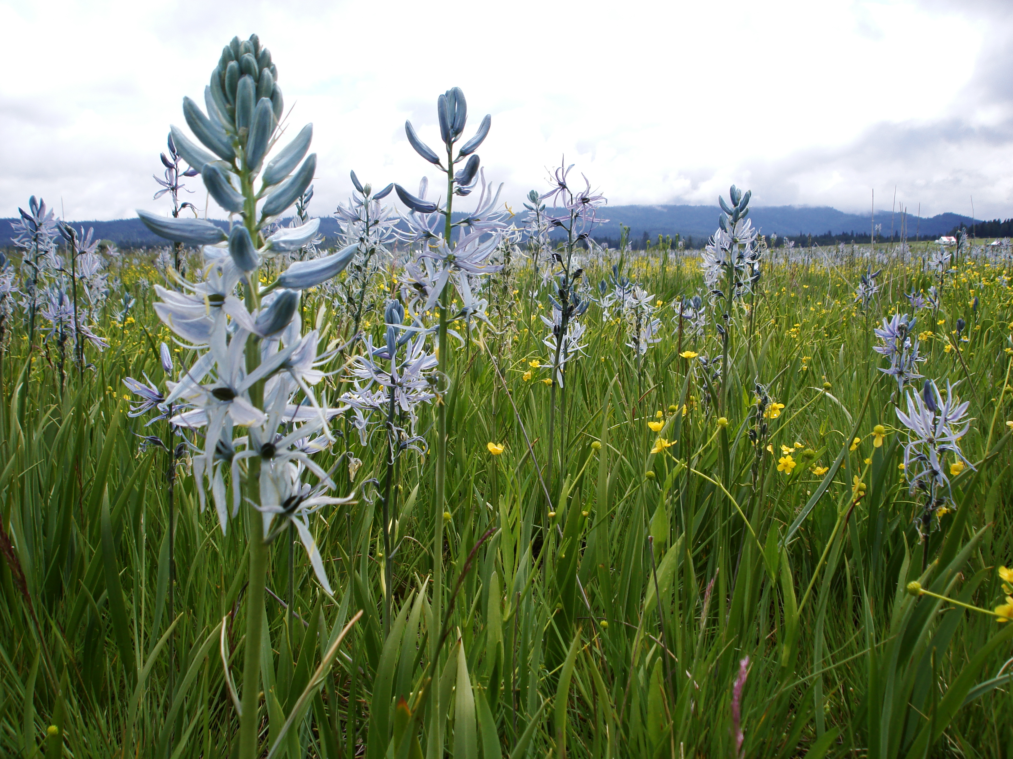
Pair it with
- Nezperce National Forest USFS · 28 miles
- Clearwater National Forest USFS · 48 miles
- Hells Canyon National Recreation Area USFS · 57 miles
- Payette National Forest USFS · 65 miles
- Wallowa National Forest USFS · 68 miles
- Bitterroot National Forest USFS · 76 miles