National Trail · NPS · MA, CT
New England National Scenic Trail
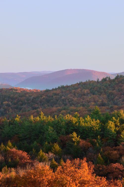
Photo: AMC Photo, Sunset on the trail
Alerts and conditions
Overview
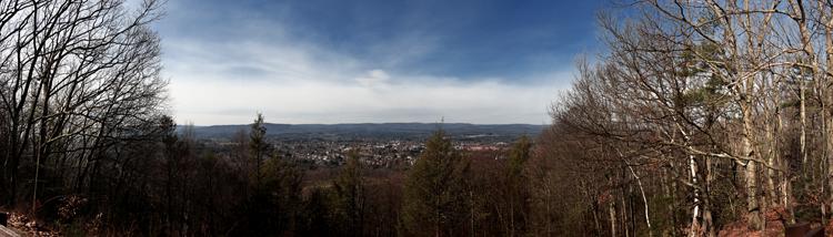
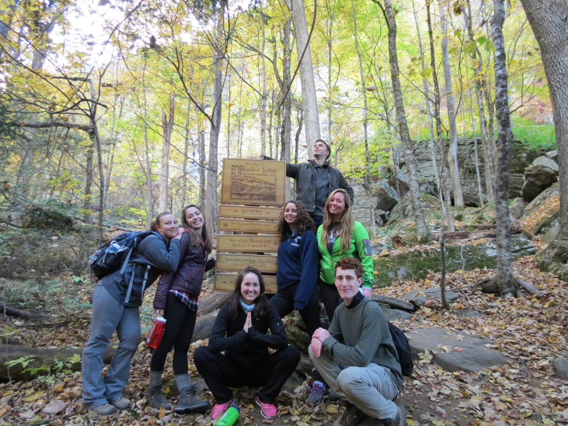
From the Sound to the summits: the New England Trail covers 235 miles from Long Island Sound across long ridges to scenic mountain summits in Connecticut and Massachusetts. The trail offers panoramic vistas and close-ups of New England’s natural and cultural landscape: traprock ridges, historic village centers, farmlands, unfragmented forests, quiet streams, steep river valleys and waterfalls.
From the National Park Service
History
The designation history for this site (every law, proclamation and order, and the administration behind each) is being researched and checked by the Library’s historians.
What to see and do
Activities
- Camping
- Backcountry Camping
- Food
- Dining
- Hiking
- Backcountry Hiking
- Front-Country Hiking
- Snowshoeing
Plan your visit
Hours
New England Trail Hours: As the New England trail crosses private property and state land, many locations along the trail do not permit night hiking or overnight parking. Before going out on a hike, check the hours of local parks for parking and hiking regulations.
Getting there
More than 100 public roads cross the New England Trail, and there are trail head parking areas at or near many of these crossings. Detailed Trail Maps are available from Appalachian Mountain Club and Connecticut Forest & Park Association. For Massachusetts maps, visit the AMC Berkshire Chapter; for Connecticut, visit the CFPA Bookstore. Direct access by bus is available at several points in Connecticut and Massachusetts. Train service is available at two points – in Guilford, CT and Northampton, MA.
Visitor centers
Weather
Temperatures range from warm, humid summer days to cold New England winter days.
Whose lands these are
These lands are the ancestral and present-day homelands of Native nations. A section on whose lands these are is being prepared with tribal review. In the meantime, Native Land Digital offers a starting point.
Photos

Pair it with
- Springfield Armory National Historic Site NPS · 13 miles
- Coltsville National Historical Park NPS · 38 miles
- Oxbow National Wildlife Refuge FWS · 48 miles
- Wapack National Wildlife Refuge FWS · 53 miles
- Assabet River National Wildlife Refuge FWS · 54 miles
- Great Meadows National Wildlife Refuge FWS · 59 miles