Parkway · NPS · AL, MS, TN
Natchez Trace Parkway
Photo: NPS Photo, Natchez Trace Parkway in Early Fall
Alerts and conditions
Park Closure Current Park Closures
Closures may occur due to inclement weather, construction projects, or other emergency conditions. Please visit the linked page for information about current closures.
Overview
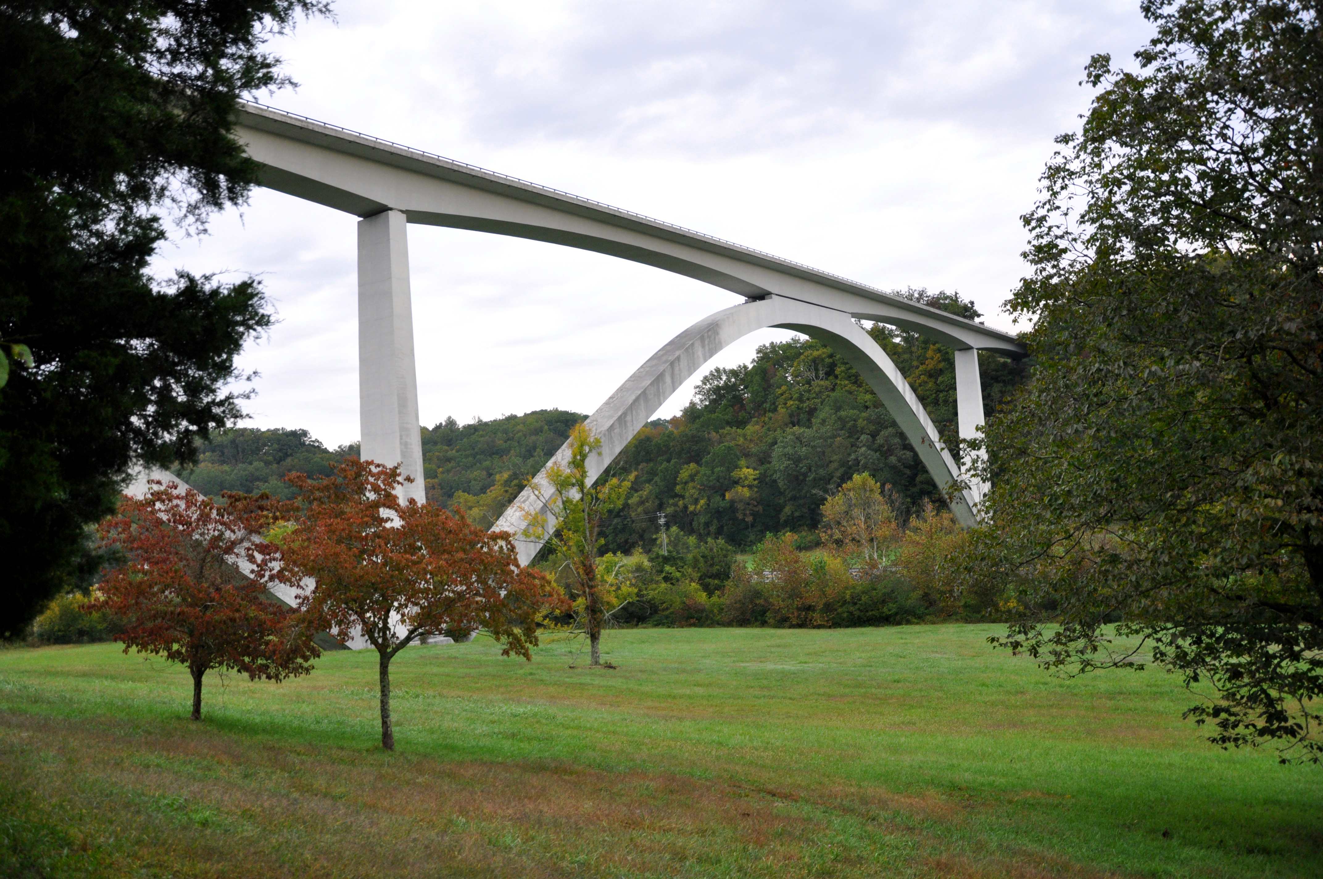
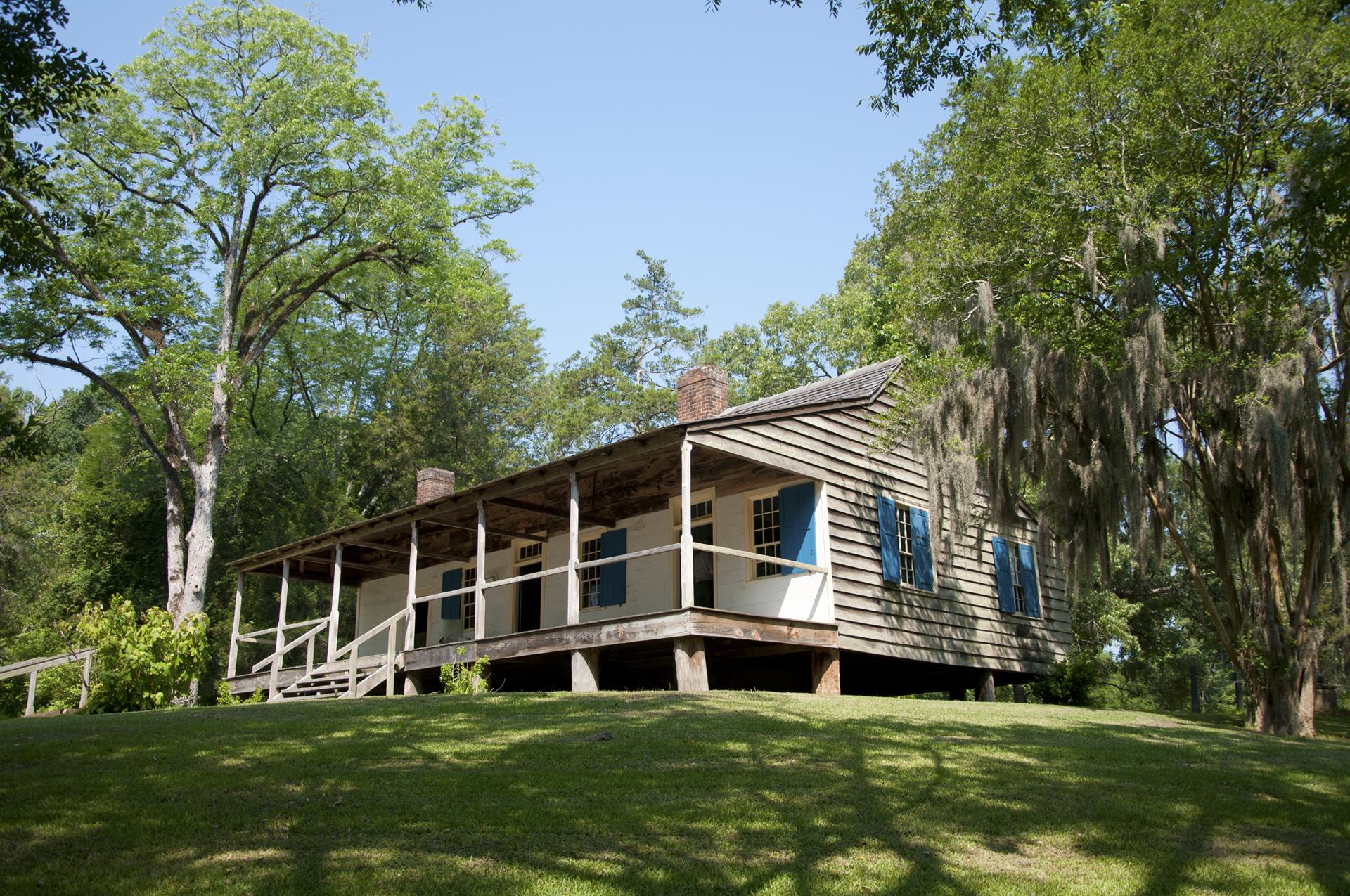
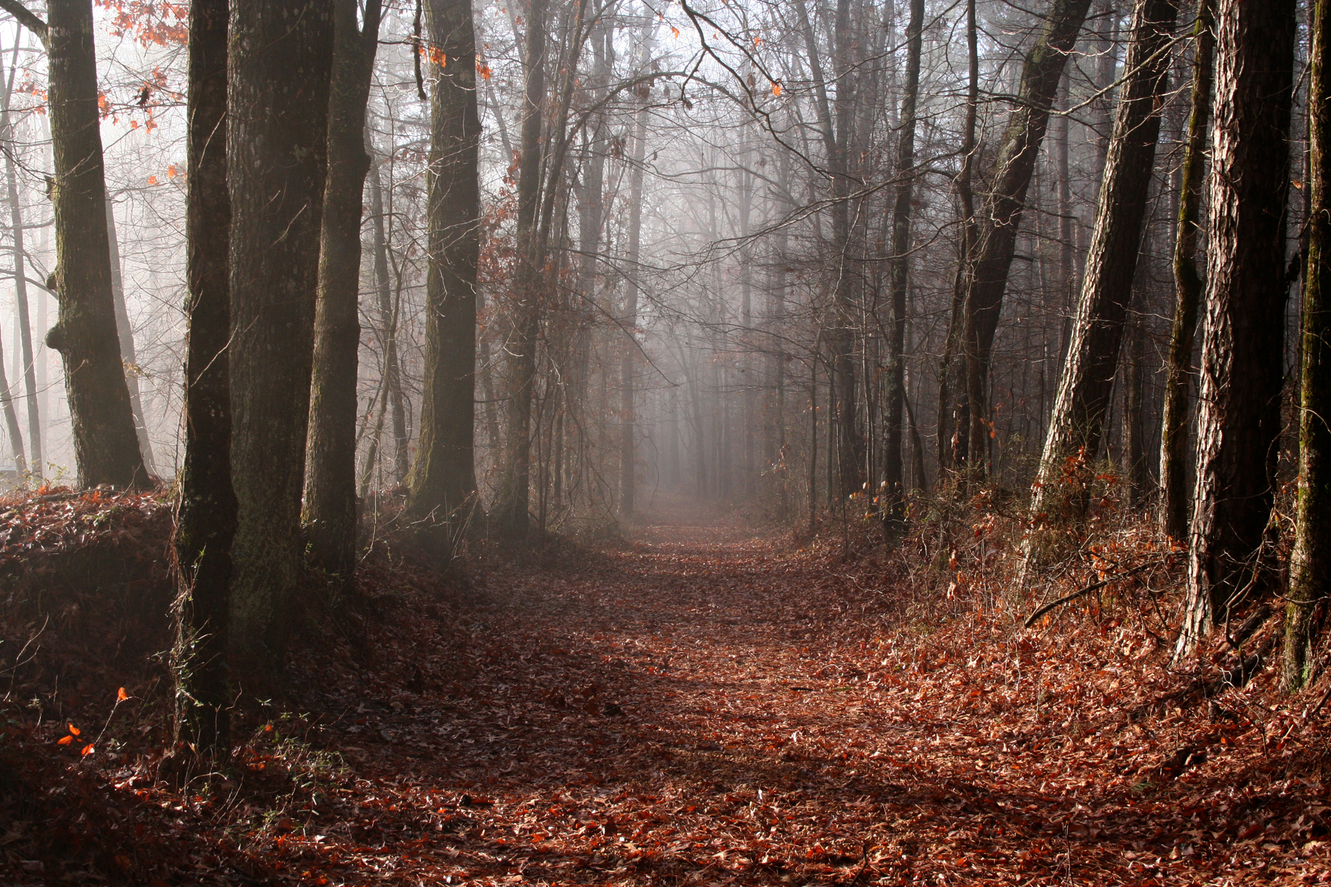
The Natchez Trace Parkway is a 444-mile recreational road and scenic drive through three states. It roughly follows the "Old Natchez Trace," a historic travel corridor used by American Indians, "Kaintucks," European settlers, slave traders, soldiers, and future presidents. Today, people can enjoy a scenic drive as well as hiking, biking, horseback riding, and camping along the Parkway.
From the National Park Service
History
The designation history for this site (every law, proclamation and order, and the administration behind each) is being researched and checked by the Library’s historians.
What to see and do
Activities
- Auto and ATV
- Scenic Driving
- Astronomy
- Stargazing
- Biking
- Road Biking
- Camping
- Car or Front Country Camping
- RV Camping
- Compass and GPS
- Geocaching
- Fishing
- Freshwater Fishing
- Food
- Picnicking
- Guided Tours
- Self-Guided Tours - Walking
- Self-Guided Tours - Auto
- Hiking
- Front-Country Hiking
- Horse Trekking
- Horseback Riding
- Junior Ranger Program
- Wildlife Watching
- Birdwatching
- Park Film
- Shopping
- Bookstore and Park Store
- Gift Shop and Souvenirs
Plan your visit
Hours
Natchez Trace: The Natchez Trace Parkway motor road is open all year, day and night. Operating hours for information centers and some locations do vary. Severe weather resulting in washouts and downed trees can cause temporary road closures. Questions about road condition should be directed to the Parkway's visitor center by calling 662-680-4027.
Getting there
Directions to the Natchez Trace Parkway vary depending on what part of the tri-state Parkway you are trying to reach. There are more than 50 roads that access the Parkway in Tennessee, Alabama, and Mississippi. For specific questions concerning how to get to a certain portion of the Parkway, please call the Visitor Center at 662-680-4027.
Visitor centers
- Parkway Visitor Center Milepost 266
- Mount Locust Information Center Milepost 15.5
- Meriwether Lewis Visitor Information Center Milepost 385.9
- Parkway Information Cabin Milepost 102.4
Campgrounds
- Jeff Busby Campground, Milepost 193.1 (18 sites)
- Meriwether Lewis Campground, Milepost 385.9 (31 sites)
- Rocky Springs Campground, Milepost 54.8 (22 sites)
Weather
Mississippi, Alabama, and most of Tennessee are classified as humid subtropical climates. The weather ranges from mild winters to hot summers. Average high temperatures reach into the high 90's in summer and often heat indices are over 100°F. Winters are mild with daytime temperatures around 50°F but lows below freezing are not uncommon. Thunderstorms are common in the southeast and the southern part of Mississippi is occasionally affected by hurricanes. Check local forecasts to plan your trip.
Phone: 6626804027
Whose lands these are
These lands are the ancestral and present-day homelands of Native nations. A section on whose lands these are is being prepared with tribal review. In the meantime, Native Land Digital offers a starting point.
Photos
Pair it with
- Tupelo National Battlefield NPS · 37 miles
- Sam D. Hamilton Noxubee National Wildlife Refuge FWS · 37 miles
- Tombigbee National Forest USFS · 37 miles
- Natchez Trace National Scenic Trail NPS · 42 miles
- Brices Cross Roads National Battlefield Site NPS · 53 miles
- Holly Springs National Forest USFS · 61 miles