National Park · NPS · WA
Mount Rainier National Park
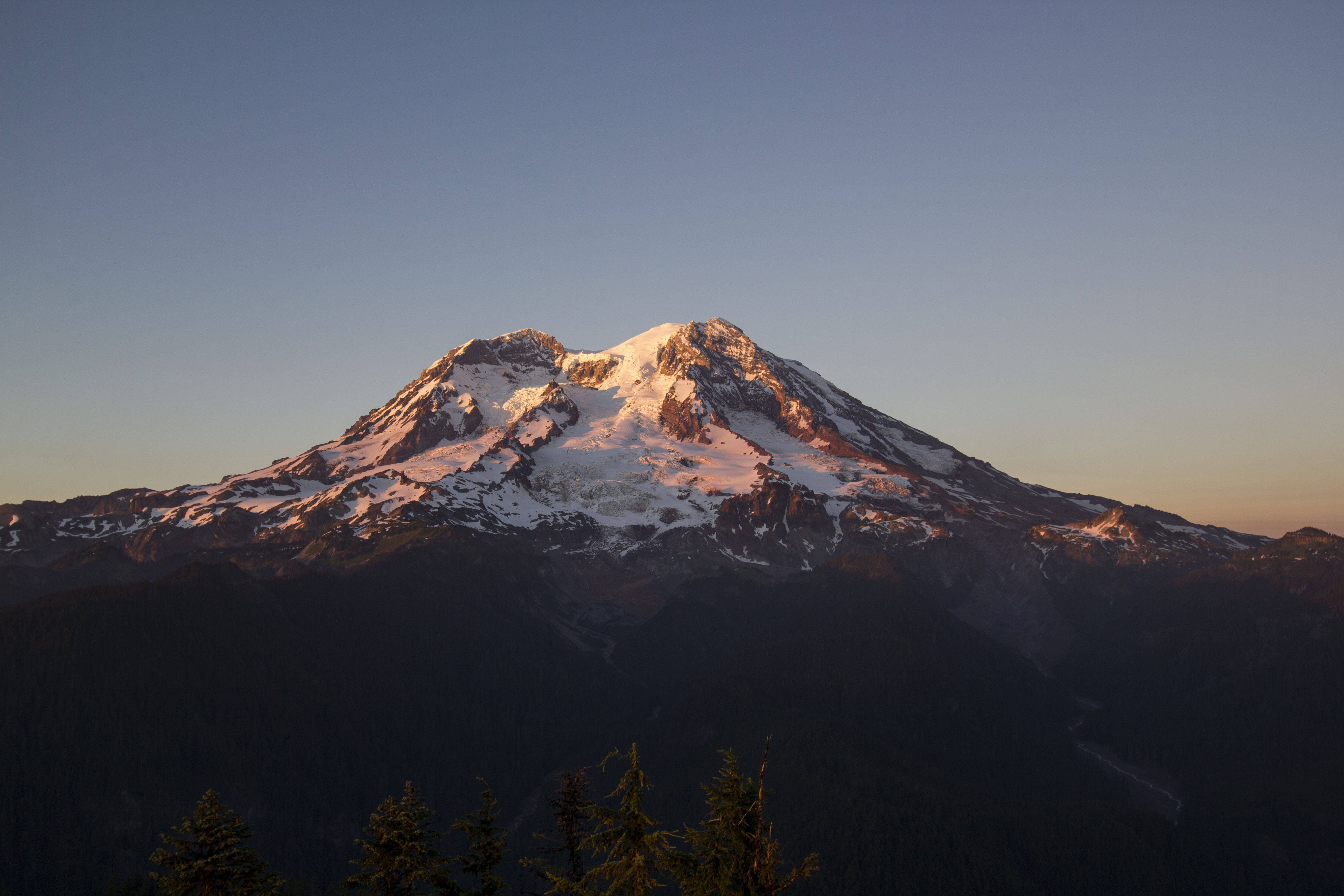
Photo: JD Hascup Photo, Silver Forest Sunset
Alerts and conditions
Park Closure Paradise Road Status: Gate closed at Longmire: projected to open tomorrow
11/08/2026: The road is open to Longmire. All vehicles, including 4WD and AWD, must carry tire chains and be ready to use them. The gate at Longmire to Paradise is closed for the night to support public safety and is projected to open, conditions permitting, tomorrow, 11/09/2026 at 9:00 AM
Information Winter Season Closures
The following regular winter season road closures are in place: Paradise Valley, Ricksecker Point, Stevens Canyon, White River, & Sunrise Roads. Closed roads may be open to bicycling when work is not underway on the road. Always check signs on closed road gates before proceeding.
Caution WILDFIRE CLOSURES: Sunrise & northern trails.
Due to several active fires on the north side of the park, the following closures are in effect until further notice: Grand Park area & trails, Northern Loop Trail, Wonderland Trail from Carbon River Suspension Bridge to Frozen Lake, & associated backcountry campgrounds. White River & Sunrise Roads have closed for the winter season.
Information SR 165 Carbon River/Fairfax Bridge is closed: no access to Carbon River or Mowich Lake.
There is NO public access to Carbon River & Mowich Lake from SR 165. The bridge is closed to pedestrians, bicycles and vehicles and there is no alternate route.
Information All vehicles are required to carry tire chains.
All vehicles, including AWD & 4WD, are required to carry tire chains when traveling in the park during the winter season (November 1 - May 1). Choose the "more" link for tire chain requirement FAQs.
Information Ohanapecosh Campground area closed for construction in 2026.
The entire Ohanapecosh Campground area is CLOSED for the duration of the construction project, including all campsites, visitor center, restrooms, picnic area, & Ohanapecosh river access.
Overview
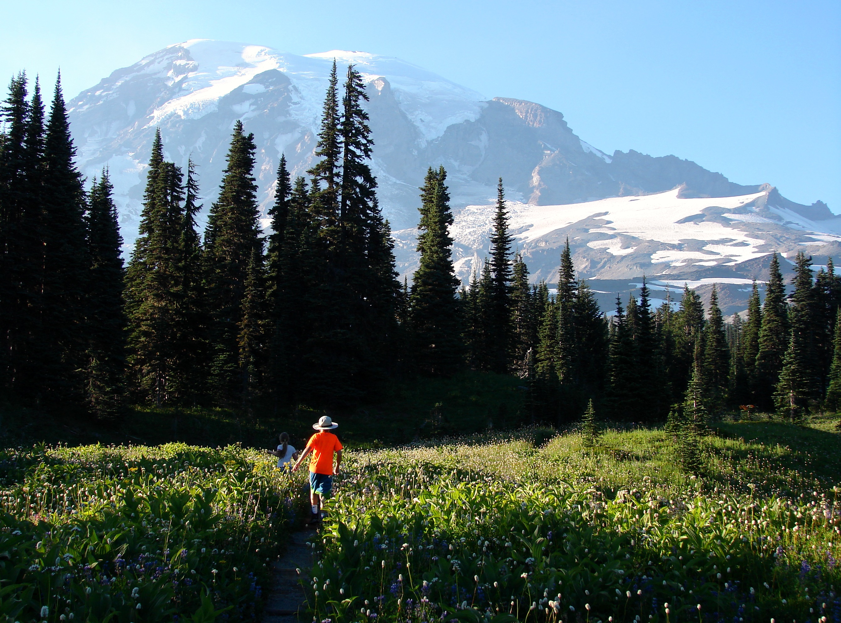
Ascending to 14,410 feet above sea level, Mount Rainier stands as an icon in the Washington landscape. An active volcano, Mount Rainier is the most glaciated peak in the contiguous U.S.A., spawning five major rivers. Subalpine wildflower meadows ring the icy volcano while ancient forest cloaks Mount Rainier’s lower slopes. Wildlife abounds in the park’s ecosystems. A lifetime of discovery awaits.
From the National Park Service
History
The designation history for this site (every law, proclamation and order, and the administration behind each) is being researched and checked by the Library’s historians.
What to see and do
Activities
- Auto and ATV
- Scenic Driving
- Astronomy
- Stargazing
- Biking
- Camping
- Backcountry Camping
- Car or Front Country Camping
- Group Camping
- Climbing
- Mountain Climbing
- Fishing
- Freshwater Fishing
- Food
- Dining
- Picnicking
- Guided Tours
- Self-Guided Tours - Walking
- Self-Guided Tours - Auto
- Hands-On
- Citizen Science
- Hiking
- Backcountry Hiking
- Front-Country Hiking
- Living History
- Junior Ranger Program
- Skiing
- Snow Play
- Snowmobiling
- Snowshoeing
- Wildlife Watching
- Birdwatching
- Park Film
- Museum Exhibits
- Shopping
- Bookstore and Park Store
Plan your visit
Hours
Mount Rainier National Park: Mount Rainier National Park is open all year. Visitation peaks in July and August with warmer weather and blooming wildflowers. In spring and autumn, weather determines the availability of facilities and roads. During winter months a number of roads, facilities, and entrances close for the season.
Nisqually: Located in the southwest corner of the park via SR 706, the Nisqually Entrance provides year-round access to the park. NOTE: To reach the Nisqually entrance using GPS use the address 39000 State Route 706 E, Ashford, WA 98304. Fee station. If entering the park outside of daylight hours, purchase an online pass at Recreation.gov in advance, or at the next available staffed entrance.
Carbon River: Carbon River Entrance in the northwest corner of the park is open year-round via SR165 through Wilkeson. Vehicle access is permitted only to the park entrance. Beyond that point the Carbon River Road is open to pedestrians and bicyclists. Pay entrance fees at Carbon River Ranger Station a few miles before park boundary or use payment envelopes after hours.
White River: Sunrise, White River, and southbound SR 123 are accessed via SR 410 from Enumclaw through the White River Entrance, open from late June to mid October. Fee station located on turn-off from SR 410 on the road to Sunrise. Hours may vary. Fee envelopes available for after hours.
Chinook Pass: In summer, travelers coming from east of the Cascades can enter the park using Chinook Pass (SR410), passing under the Chinook Entrance Arch walking bridge. Entrance open June to mid-November, 24 hours a day. No fee station; purchase pass at the next available staffed entrance.
Stevens Canyon: Branching off of SR123 just north of Ohanapecosh, Stevens Canyon Entrance provides access to Stevens Canyon Road, Paradise, and the west side of the park. Open late May to mid September. Fee station with fee envelopes available after hours.
SR123/Ohanapecosh: Located along SR 123 via Hwy 12 from Yakima or Packwood, this park entrance is open 24 hours a day from late May to early November. This is the closest entrance to the Ohanapecosh area. No fee station; purchase pass at the next available staffed entrance.
SR 410/North Entrance: In summer, travelers coming from the north can enter the park using SR410, which connects to SR123 and turns east at Cayuse Pass. Entrance open late May to early November, 24 hours a day. No fee station; purchase pass at the next available staffed entrance.
Fees and passes
- Entrance - Private Vehicle — $30.00
- Entrance - Per Person — $15.00
- Entrance - Motorcycle — $25.00
- Commercial Entrance - Mini-bus — $100.00
- Commercial Entrance - Motor Coach — $200.00
- Annual Entrance - Park — $55.00
The America the Beautiful pass covers entrance fees at federal recreation lands across all four agencies.
Getting there
Mount Rainier National Park is located in west-central Washington state. Several major cities in Washington- Seattle, Tacoma, and Yakima- and Portland, Oregon, are within 200 miles of the park. For GPS to Nisqually Entrance use: 39000 State Route 706 E, Ashford, WA 98304.
Visitor centers
- Longmire Museum
- Henry M Jackson Memorial Visitor Center
- Ohanapecosh Visitor Center
- Sunrise Visitor Center
- Carbon River Ranger Station
- Longmire Wilderness Information Center
- White River Wilderness Information Center
- Paradise Wilderness Information Center
Campgrounds
- White River Campground (88 sites)
- Cougar Rock Campground (179 sites) — reserve
- Ohanapecosh Campground (179 sites) — reserve
Weather
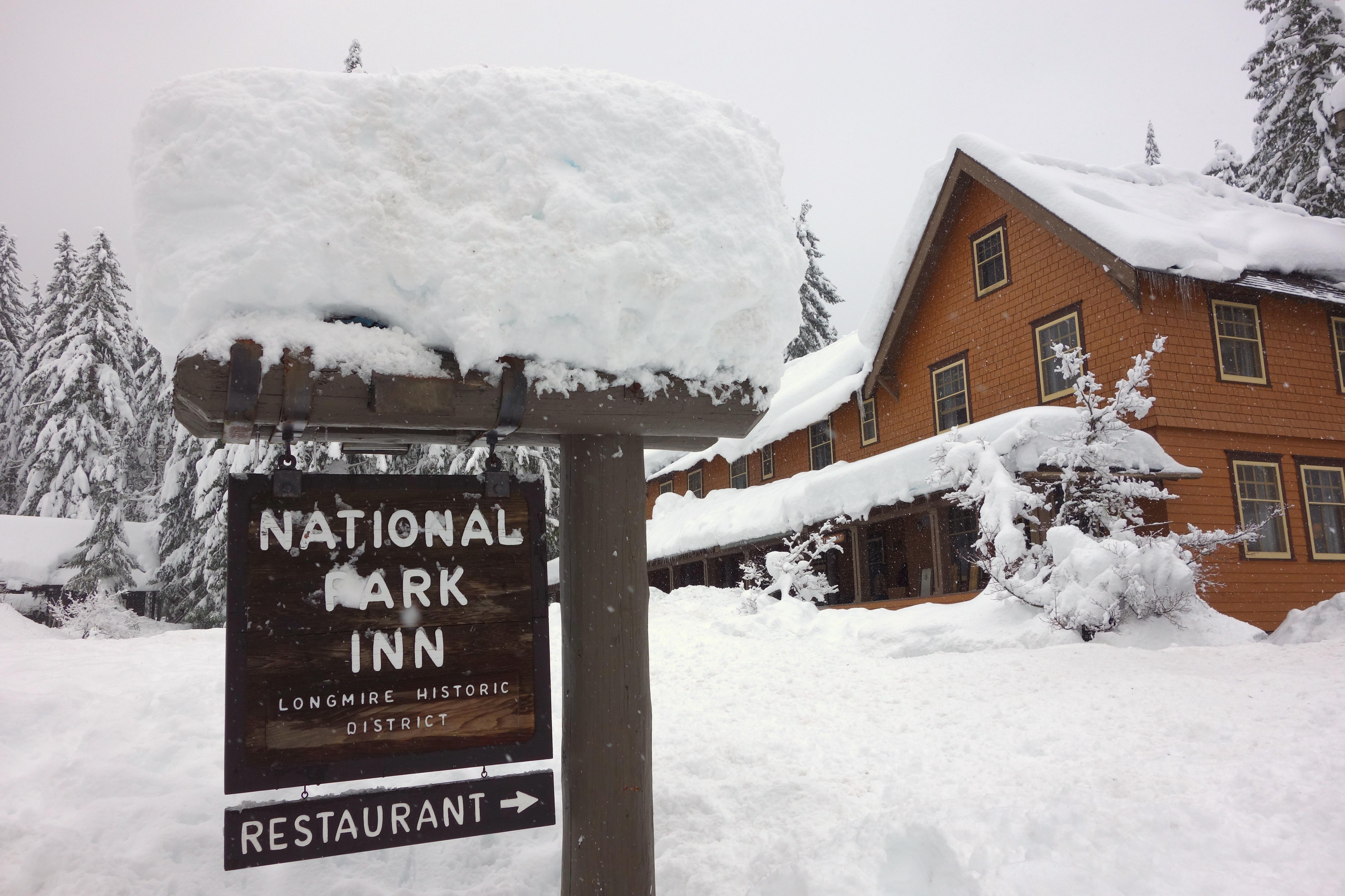
Weather patterns at Mount Rainier are strongly influenced by the Pacific Ocean and elevation. The climate is generally cool and rainy, with summer highs in the 60s and 70s. While July and August are the sunniest months of the year, rain is very likely in spring, fall, and winter. Visitors should be aware that mountain weather is very changeable. In the higher elevations, like Paradise, winter can last from November to May with many feet of snow on the ground.
Phone: 3605692211
Whose lands these are
These lands are the ancestral and present-day homelands of Native nations. A section on whose lands these are is being prepared with tribal review. In the meantime, Native Land Digital offers a starting point.
Photos
Pair it with
- Snoqualmie National Forest USFS · 29 miles
- Mount St. Helens National Volcanic Monument USFS · 48 miles
- Gifford Pinchot National Forest USFS · 48 miles
- Billy Frank Jr. Nisqually National Wildlife Refuge FWS · 50 miles
- Wing Luke Museum Affiliated Area NPS · 58 miles
- Klondike Gold Rush - Seattle Unit National Historical Park NPS · 59 miles