Wild, Scenic and National River · NPS · SD, NE
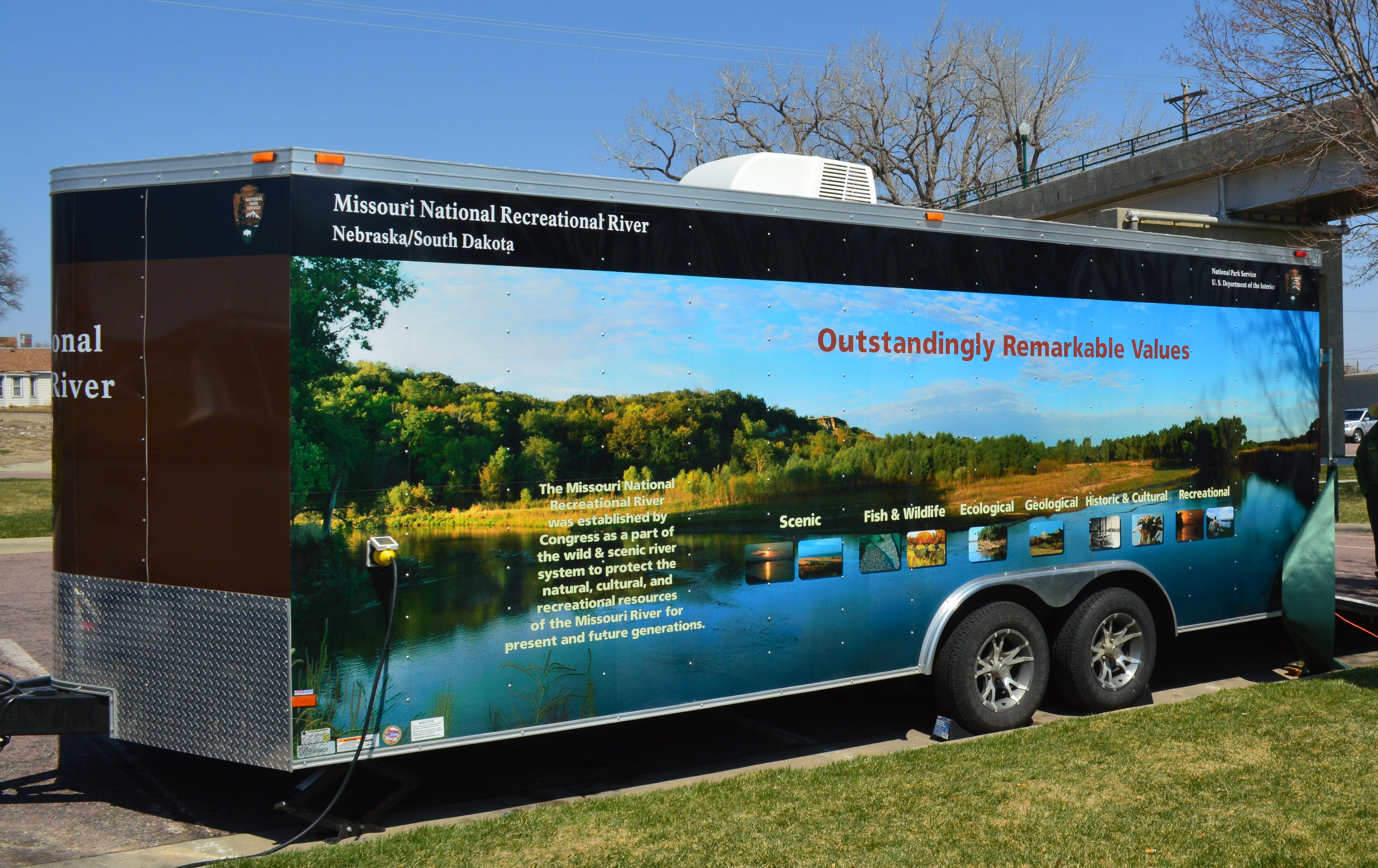
Missouri National Recreational River
Photo: NPS Photo, Aerial of Missouri River
Alerts and conditions
Overview
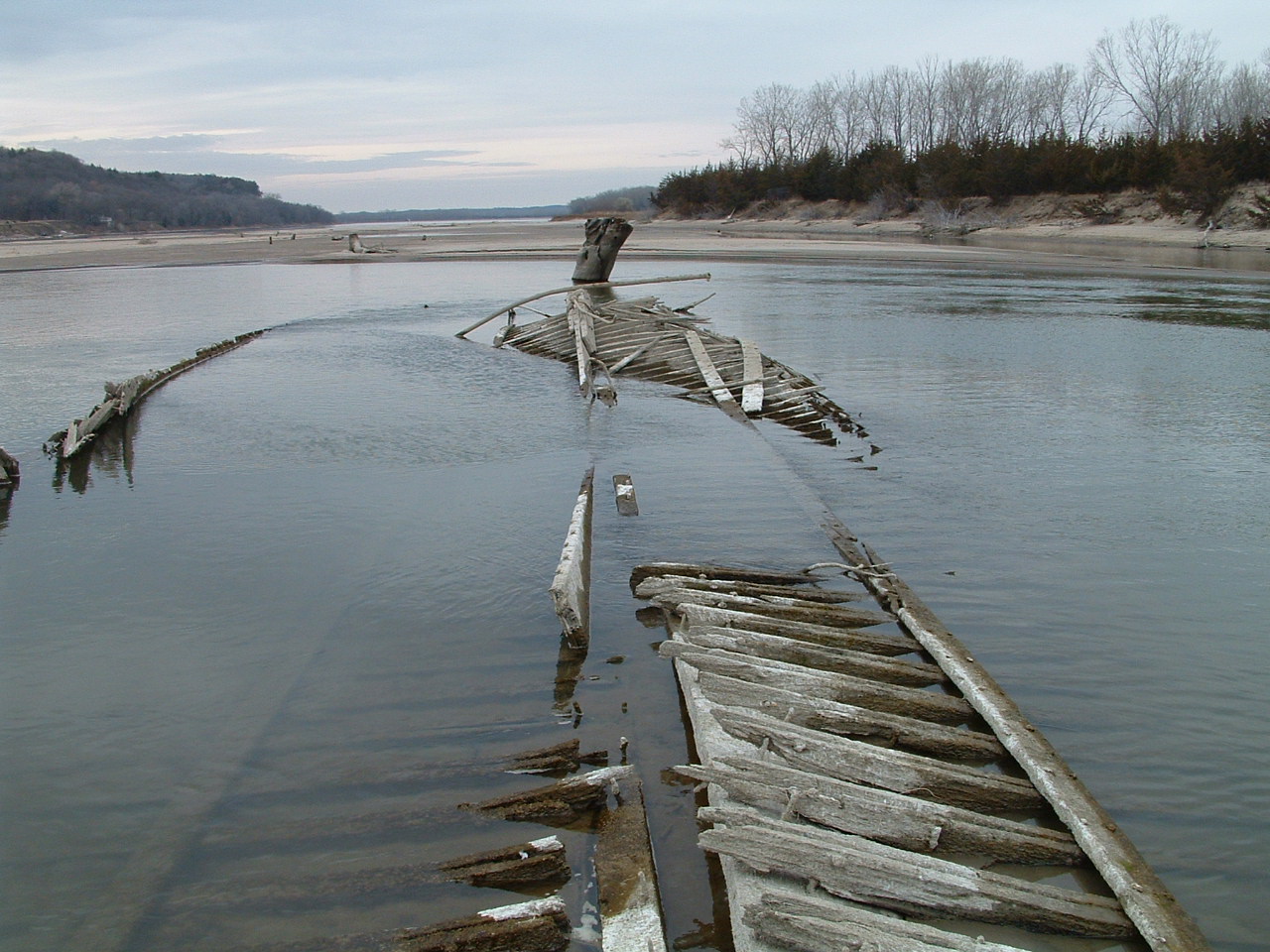
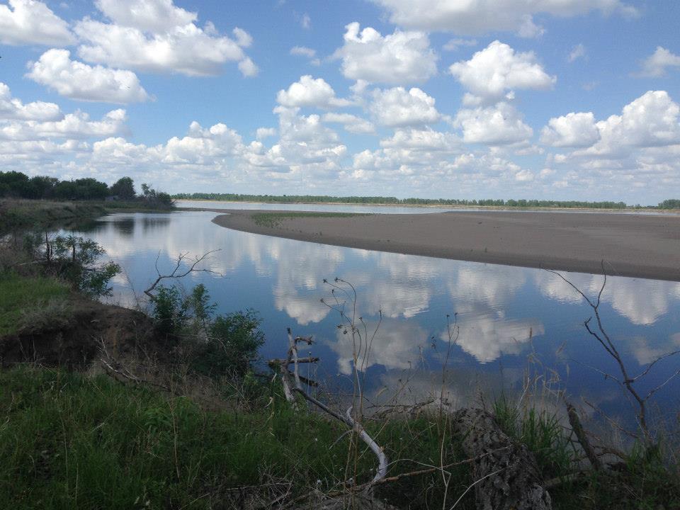
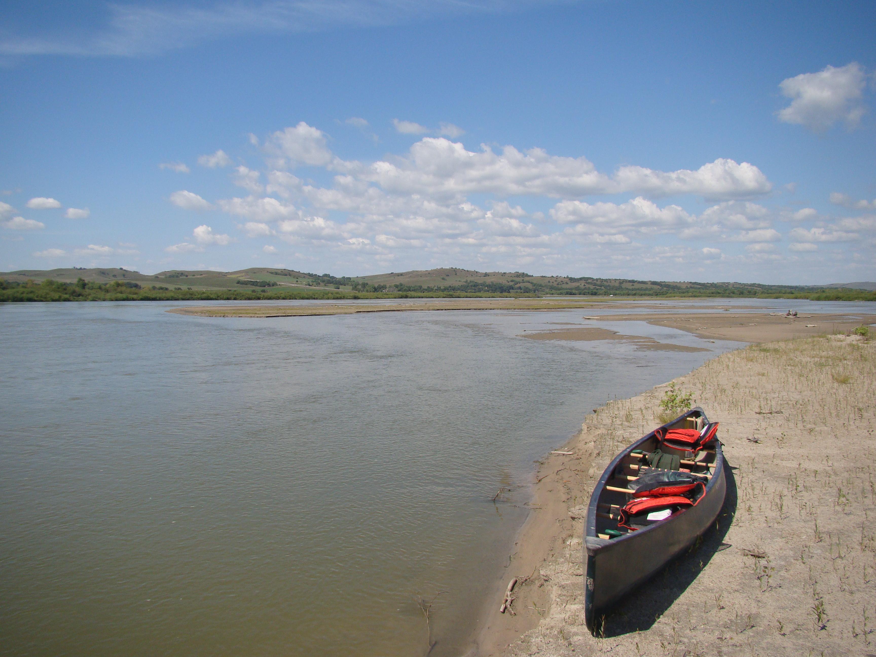
Imagine a 100-mile stretch of North America's longest river, a vestige of the untamed American West. The Missouri National Recreational River is where imagination meets reality. Two free flowing stretches of the Missouri make up the National Park. Relive the past by exploring the wild, untamed and mighty river that continues to flow as nature intended.
From the National Park Service
History
The designation history for this site (every law, proclamation and order, and the administration behind each) is being researched and checked by the Library’s historians.
What to see and do
Activities
- Auto and ATV
- Scenic Driving
- Astronomy
- Stargazing
- Biking
- Road Biking
- Boating
- Camping
- Canoe or Kayak Camping
- Car or Front Country Camping
- Group Camping
- RV Camping
- Fishing
- Freshwater Fishing
- Food
- Dining
- Picnicking
- Guided Tours
- Self-Guided Tours - Walking
- Hands-On
- Citizen Science
- Hiking
- Front-Country Hiking
- Hunting and Gathering
- Hunting
- Living History
- Paddling
- Canoeing
- Canoe or Kayak Camping
- Kayaking
- Junior Ranger Program
- Playground
- Skiing
- Cross-Country Skiing
- Swimming
- Pool Swimming
- Freshwater Swimming
- Wildlife Watching
- Birdwatching
- Park Film
- Museum Exhibits
- Shopping
- Bookstore and Park Store
- Gift Shop and Souvenirs
Plan your visit
Hours
Park Hours: The entire park includes the 39-Mile District and 59-Mile District. Both districts are open 24 hours, seven days a week.
Getting there
The National Park Service headquarters is located at 508 East Second Street in Yankton, South Dakota.
Visitor centers
- Missouri National Recreational River Headquarters
Campgrounds
- Bow Creek Primitive Camping (5 sites)
- Green Island Primitive Camping (5 sites)
- Goat Island Primitive Camping (2 sites)
Weather
Rapid weather changes are common along the Missouri National Recreational River corridor. Variations from season to season and from year to year are great. Characteristics of the climate are hot summers and cold winters. Sunshine is abundant, particularly in the summer months. Average annual rainfall is 25 inches. Thunderstorms can be dangerous and visitors should be prepared for them, especially from June until late August. Winter snowfall averages 34 inches annually.
Phone: 605-665-0209
Whose lands these are
These lands are the ancestral and present-day homelands of Native nations. A section on whose lands these are is being prepared with tribal review. In the meantime, Native Land Digital offers a starting point.
Photos
Pair it with
- Karl E. Mundt National Wildlife Refuge FWS · 50 miles
- Lake Andes National Wildlife Refuge FWS · 51 miles
- Madison Wetland Management District FWS · 70 miles
- Lake Andes Wetland Management District FWS · 85 miles
- Pipestone National Monument NPS · 106 miles
- John W. and Louise Seier National Wildlife Refuge FWS · 111 miles