National Monument · NPS · OR
John Day Fossil Beds National Monument
Photo: NPS Photo / Scott Ritner, Painted Hills
Alerts and conditions
Information Park Phones are Down
The park's phones are currently not working to call in. If you have questions, please email us at JODA_Interpretation@nps.gov. If it is an emergency dial 911.
Information No Water Available at the Clarno Unit
There is currently no water available at the Clarno Unit of the park. Please plan accordingly and bring water when visiting.
Overview
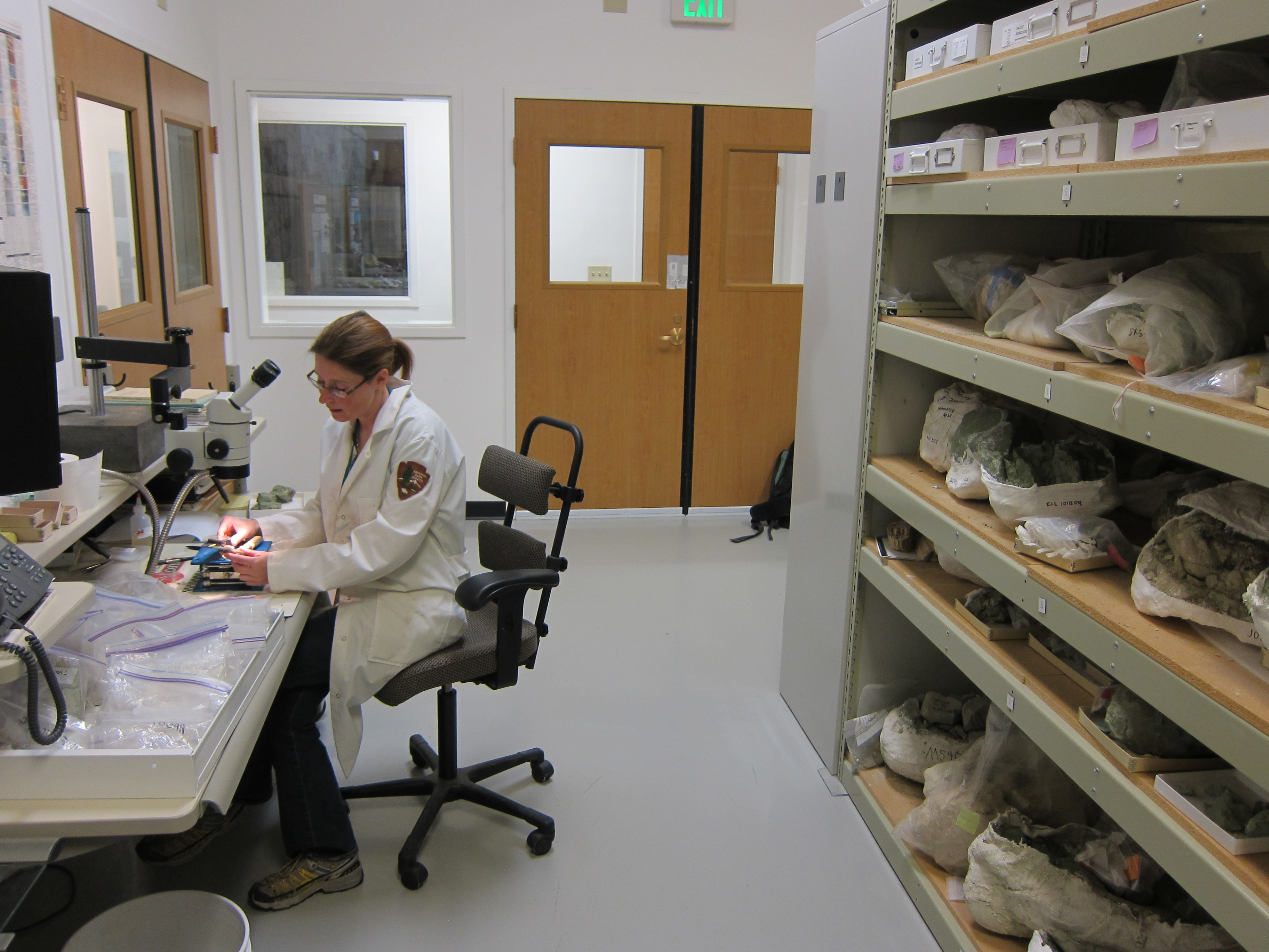
Large rhino-like brontotheres roam a semitropical forest. Dog-sized, three-toed horses dart between the trees. The cat-like nimravid and bear dogs stalk their prey. The climate cools and forests alter to dryer grasslands. Saber tooth cats and camels get replaced by mountain lions and deer. Paleontologists learn more about the ancient animals and environment with every new fossil they discover.
From the National Park Service
History
The designation history for this site (every law, proclamation and order, and the administration behind each) is being researched and checked by the Library’s historians.
What to see and do
Activities
- Hiking
- Front-Country Hiking
- Junior Ranger Program
- Park Film
- Museum Exhibits
- Bookstore and Park Store
Plan your visit
Hours
Outdoor Recreation Areas: All outdoor recreation opportunities in the park are open daily, including all overlooks and hiking trails at the park’s three units: Sheep Rock, Painted Hills, and Clarno.
Getting there
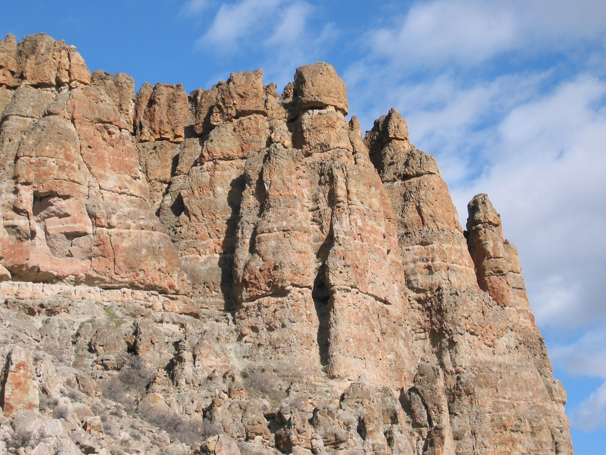
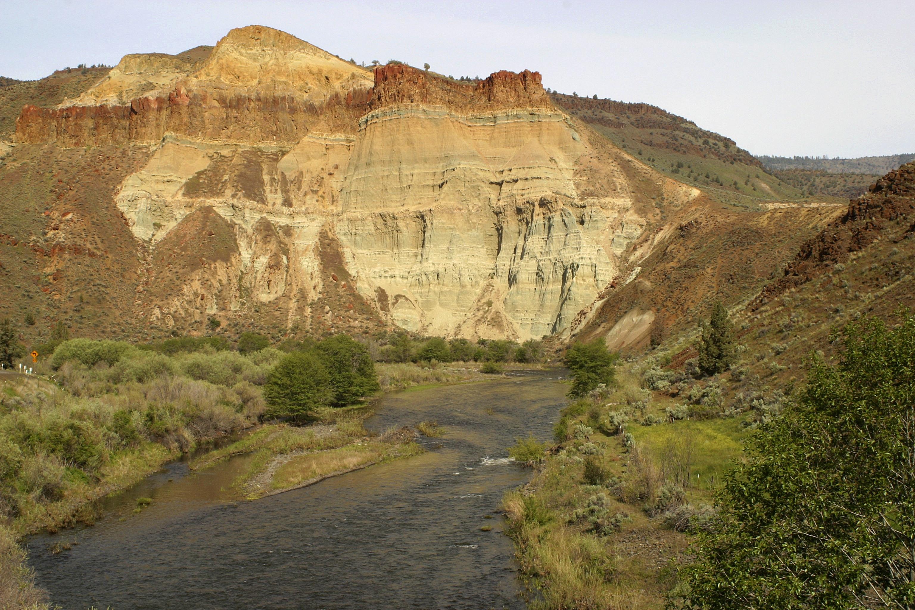
John Day Fossil Beds encompasses 14,000 acres in three geographically separated units in Oregon: Sheep Rock Unit, Painted Hills Unit, and Clarno Unit. The Sheep Rock Unit is located between the towns of Dayville and Kimberly. The Painted Hills Unit is located 9 miles northwest of of the town of Mitchell. The Clarno Unit is located on Highway 218 twenty miles west of the town of Fossil.
Visitor centers
Weather
Weather conditions at John Day Fossil Beds National Monument are highly variable in this semi-arid desert landscape. Summer highs can climb into the 110's. Winters tend to be fairly mild, with occassional snow and ice and lows occasionally dipping into the single digits.
Phone: 5419872333
Whose lands these are
These lands are the ancestral and present-day homelands of Native nations. A section on whose lands these are is being prepared with tribal review. In the meantime, Native Land Digital offers a starting point.
Photos
Pair it with
- Ochoco National Forest USFS · 24 miles
- Malheur National Forest USFS · 57 miles
- Crooked River National Grassland USFS · 65 miles
- Whitman National Forest USFS · 81 miles
- McKay Creek National Wildlife Refuge FWS · 85 miles
- Umatilla National Wildlife Refuge FWS · 88 miles