National Park · NPS · IN
Indiana Dunes National Park
Photo: NPS Photo, Central Avenue Beach Indiana Dunes National Park
Alerts and conditions
Park Closure Partial Trail Closures on Bailly / Chellberg Trail
Portions of Bailly / Chellberg Trail (with stairs) will be closed through October (10/30/26), to allow completion of boardwalk replacement project.
Park Closure Partial Trail Closure - Dunewood Trace
Partially open. Persistent flooding west of the campground currently limits access to the entire trail. Hikers may not always be able to traverse the full length.
Park Closure Closure - Hobart Woodland Trail
Closed. The Woodland Trail is closed indefinitely, and no reopening date is available. However, the paved Oak Savannah Trail remains open.
Park Closure Partial Closure - Upland Trail
The middle boardwalk was lost due to a tree strike, making the full loop inaccessible. At this time, there is no timeline for replacement.
Park Closure Closure - Heron Rookery Trail
Closed. The trail is undergoing tree removal and rerouting due to riverbank collapse. It is expected to reopen in the fall, after mosquito activity decreases.
Information Other Park Conditions and Updates
For more information on storm related repairs and other park conditions like beach and hiking safety visit our park status page.
Caution Water Safety Alert
After recent storms, E. coli levels are likely to reach above safe swimming standards. Entering the water after heavy rainfall is never recommended. Know before you go and always check our Beach Safety page before heading to park beaches.
Park Closure Partial Closures to Little Calumet River Trail and Glenwood Dunes Trail
Marquette Greenway construction will require closing sections of the Glenwood Dunes Trail (April–December 2026) and Little Calumet River / Mnoké Prairie Trail (May–December 2026). Closure dates may shift as work progresses. Please follow all posted closures and check the park website or NPS App for updates.
Caution Partial Trail Closure at Portage Lakefront and Riverwalk
Closed portion of Portage Lakefront and Riverwalk Trail along Burns Waterway due to unsafe conditions from erosional damage. This trail portion will remain closed while funding is sought for repair work. Pier access remains open on either side of closure.
Overview
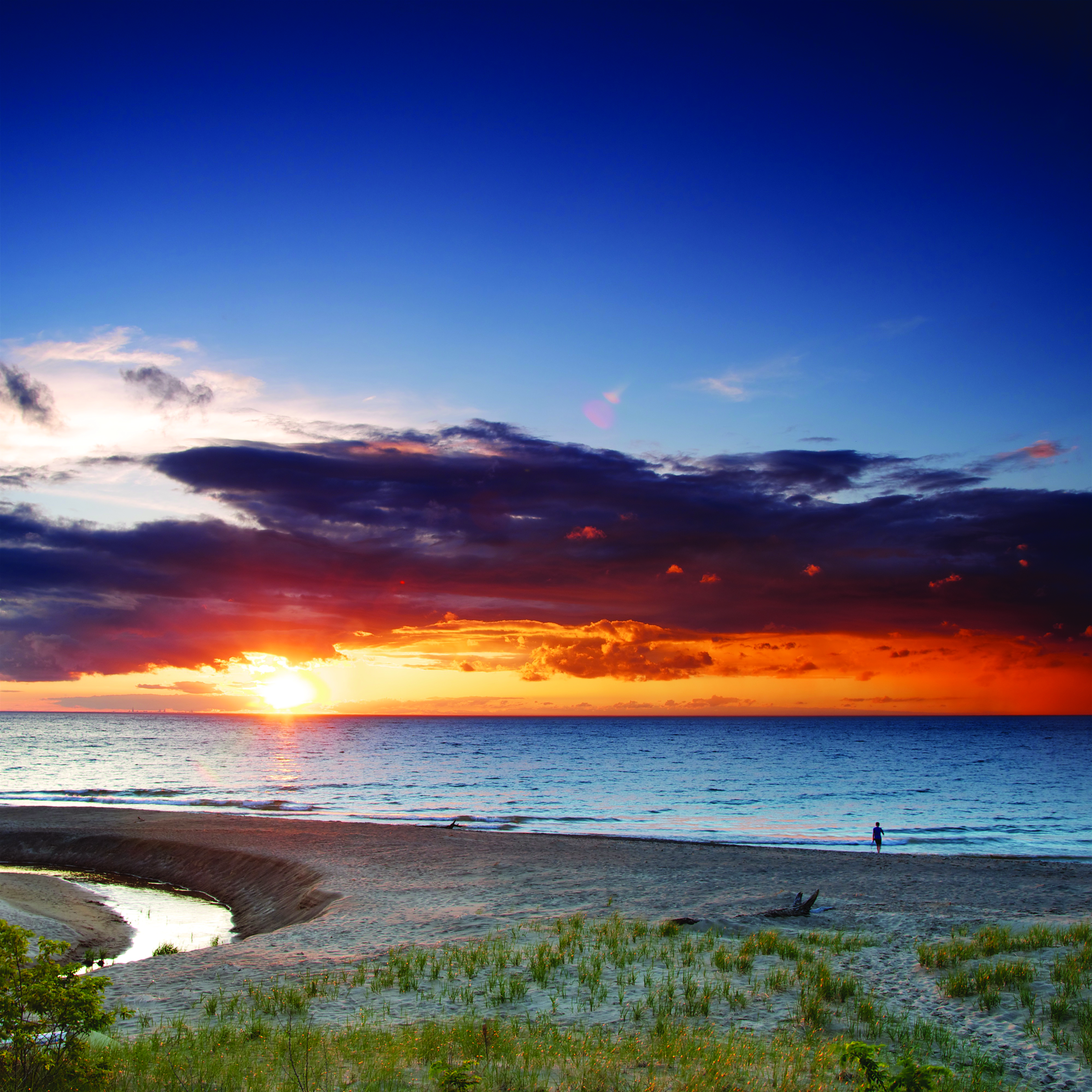
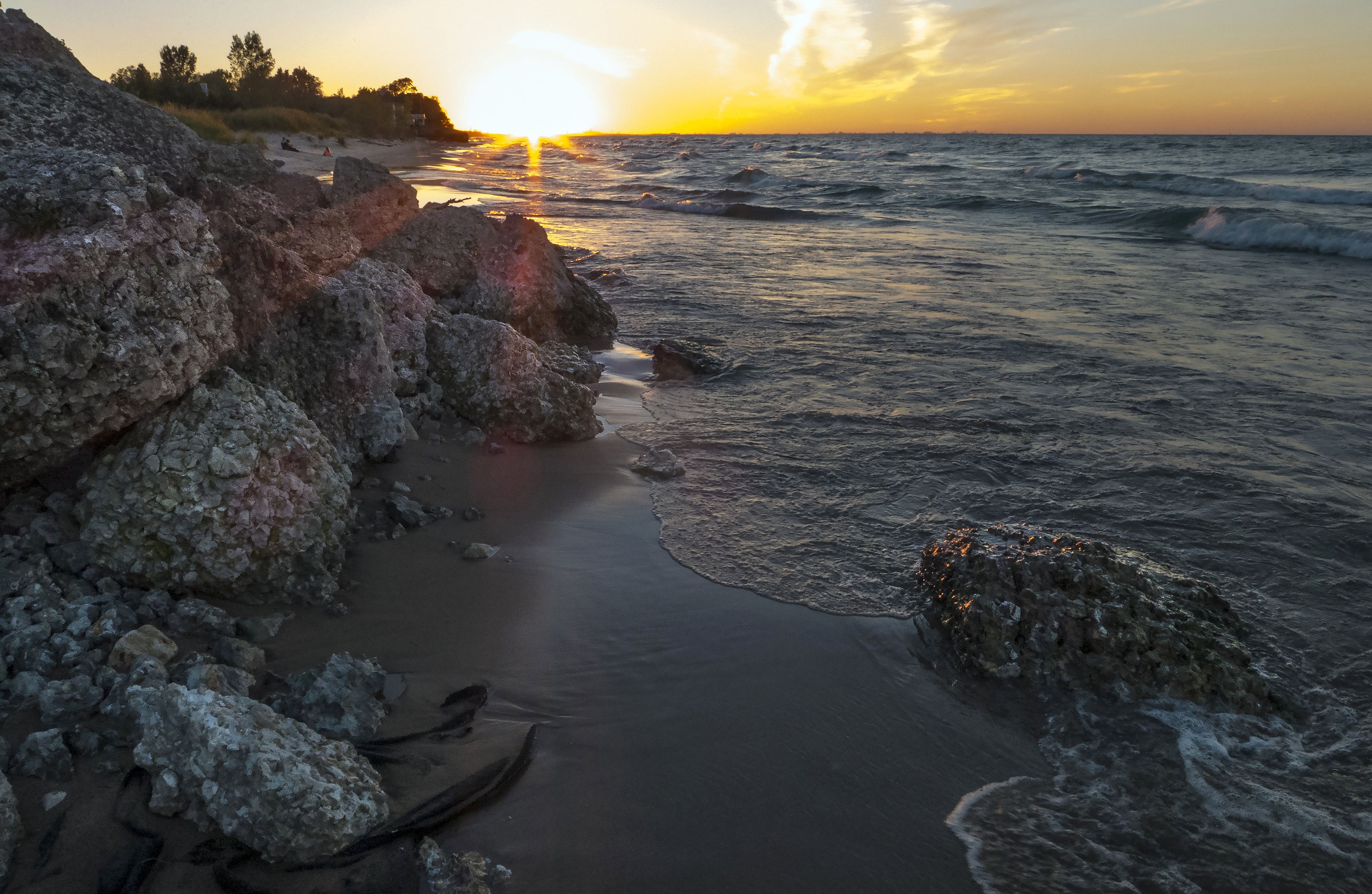
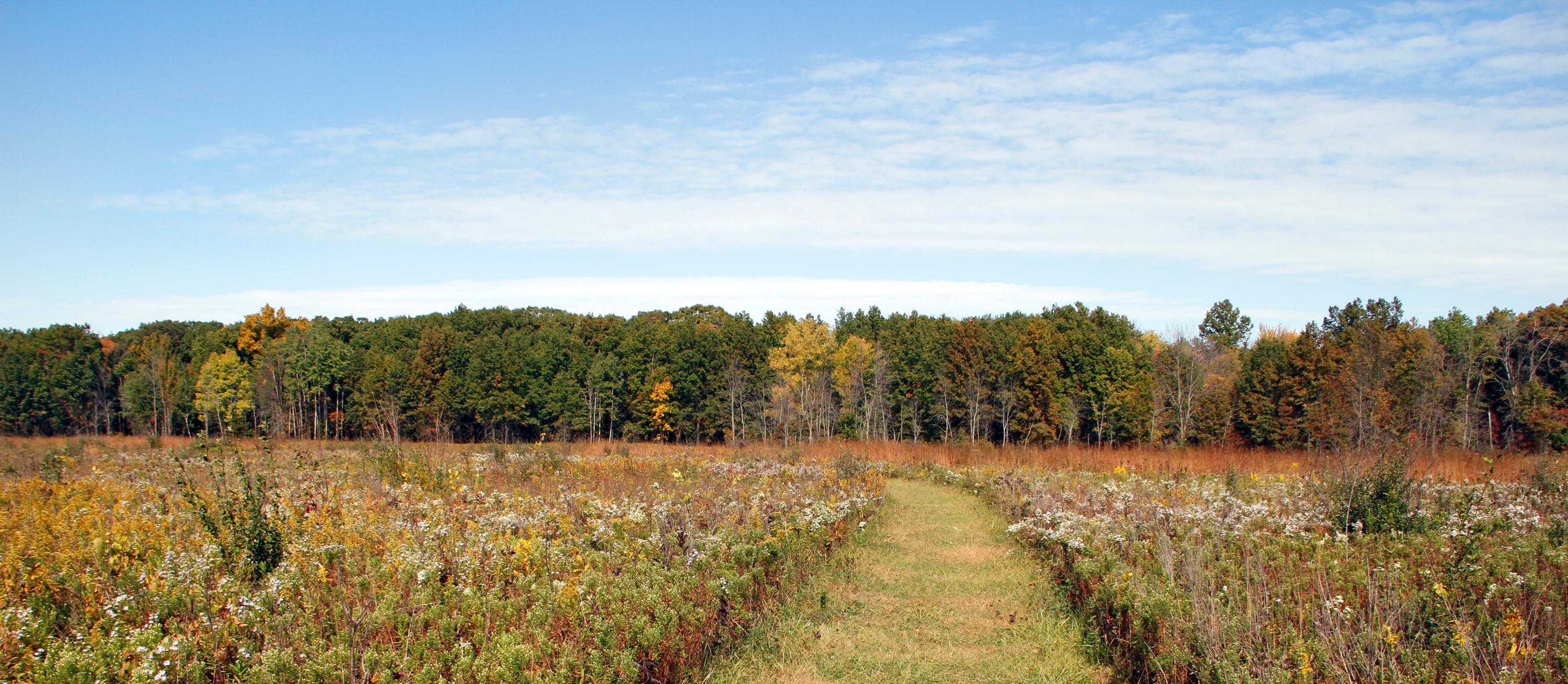
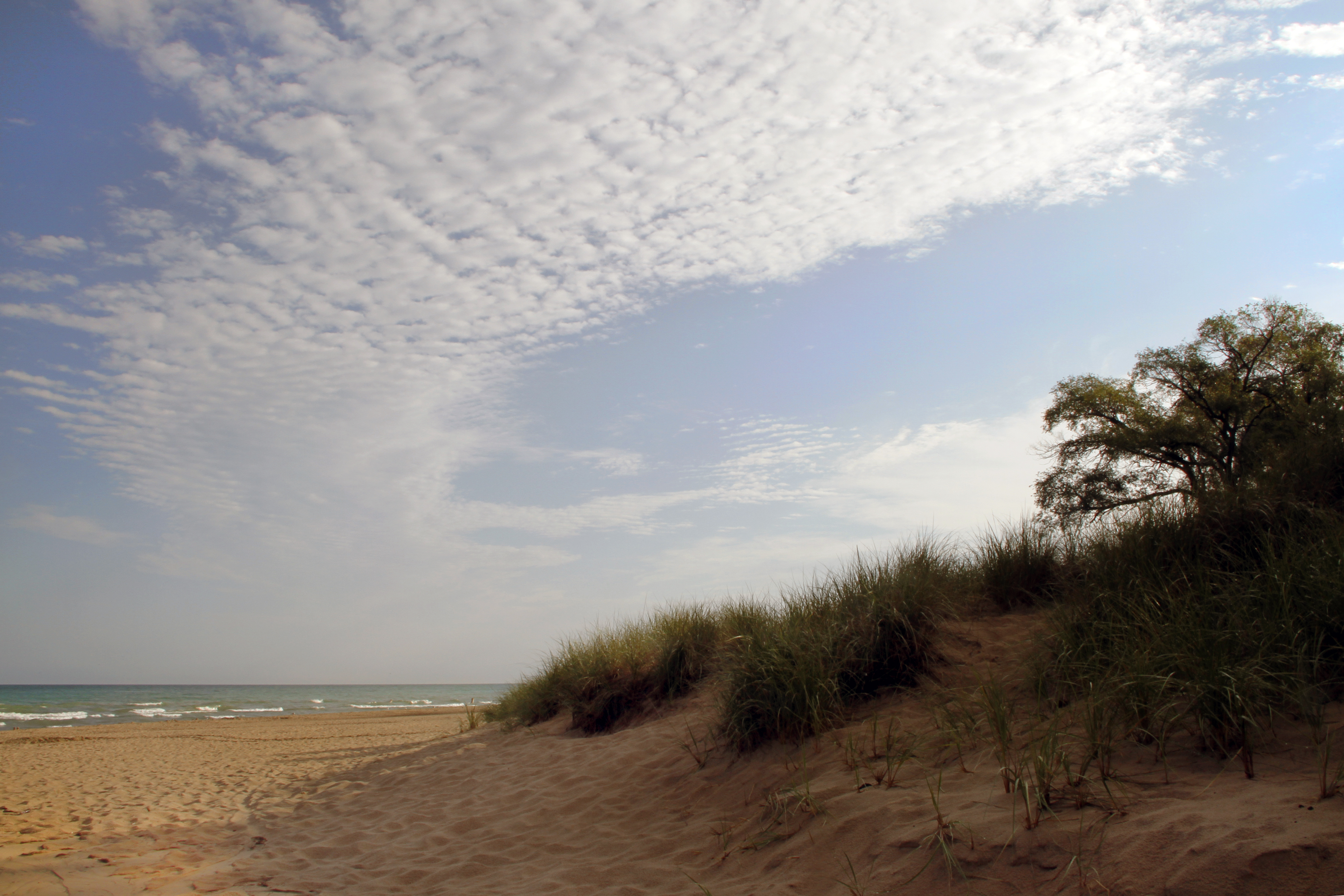
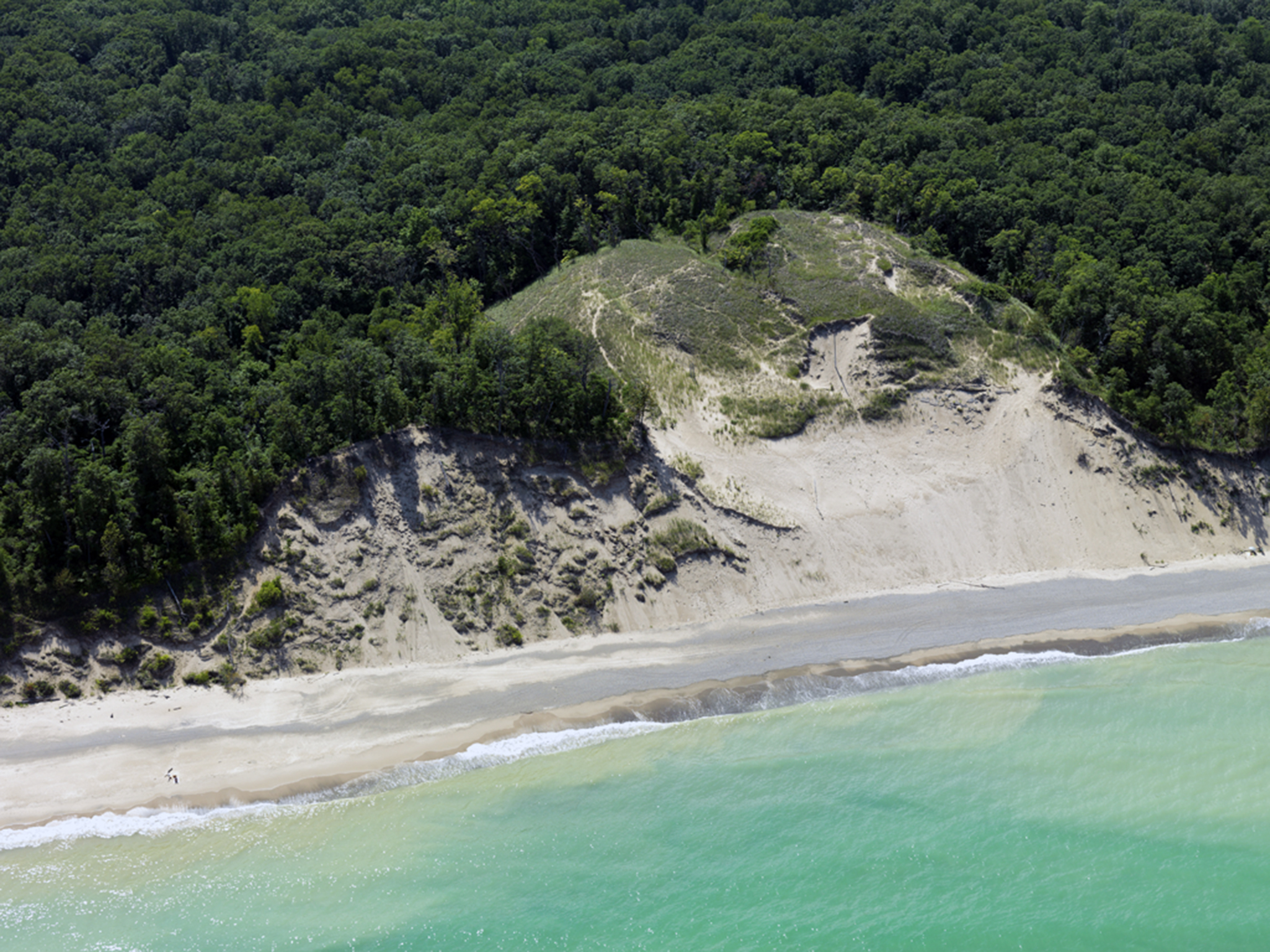
Lake Michigan's might has influenced Indiana Dunes for millennia. Wind and waves have shaped the land, leaving a rich mosaic of habitats along these 15 miles of Indiana coast. Over 50 miles of trails lead through shifting sand dunes, quiet woodlands, sunny prairies and lush wetlands. Known for its striking plant and bird diversity, it's easy to find inspiration throughout the park’s 16,000 acres.
From the National Park Service
History
The designation history for this site (every law, proclamation and order, and the administration behind each) is being researched and checked by the Library’s historians.
What to see and do
Activities
- Arts and Culture
- Cultural Demonstrations
- Auto and ATV
- Scenic Driving
- Astronomy
- Stargazing
- Biking
- Boating
- Camping
- RV Camping
- Fishing
- Food
- Picnicking
- Guided Tours
- Self-Guided Tours - Walking
- Self-Guided Tours - Auto
- Hiking
- Horse Trekking
- Paddling
- Canoeing
- Kayaking
- Stand Up Paddleboarding
- Junior Ranger Program
- Playground
- Skiing
- Cross-Country Skiing
- Snow Play
- Snowshoeing
- Swimming
- Freshwater Swimming
- Wildlife Watching
- Birdwatching
- Park Film
- Shopping
- Bookstore and Park Store
Plan your visit
Hours
Indiana Dunes National Park general areas: The general areas of the park are open year-round. Please check individual areas for specific hours of operation.
West Beach: West Beach hours of operation
Fees and passes
- Entrance - Motorcycle — $20.00
- Entrance - Private Vehicle — $25.00
- Entrance - Per Person — $15.00
- Commercial Entrance - Sedan — $25.00
- Commercial Entrance - Van — $40.00
- Commercial Entrance - Mini-bus — $40.00
- Commercial Entrance - Motor Coach — $100.00
- Annual Entrance - Park — $45.00
The America the Beautiful pass covers entrance fees at federal recreation lands across all four agencies.
Getting there
Visitors can access the national park via Interstate 94, the Indiana Toll Road (Interstate 80/90), U.S. Highway 12, U.S. Highway 20, Indiana State Road 49, and various other local roads. The Indiana Dunes Visitor Center is located on Indiana State Road 49, between U.S. Highway 20 and Interstate 94 (1215 IN-49, Porter, IN 46304). For a driving map to the Indiana Dunes Visitor Center or other locations, check out our maps page.
Visitor centers
- Dorothy Buell Memorial Visitor Center (Indiana Dunes Visitor Center)
- Paul H. Douglas Center for Environmental Education
Campgrounds
- Dunewood Campground (66 sites) — reserve
- Dunbar Group Site (1 sites) — reserve
- Central Avenue Walk-in Sites (5 sites) — reserve
Weather
On average, the warmest month is July and the highest recorded temperature was 105F in 1934. The coolest month is January, with the lowest recorded temperature of -25F in 1985. June sees the most precipitation with an average rainfall of 4.66 Inches.
Phone: 2193951882
Whose lands these are
These lands are the ancestral and present-day homelands of Native nations. A section on whose lands these are is being prepared with tribal review. In the meantime, Native Land Digital offers a starting point.
Photos
Pair it with
- Pullman National Historical Park NPS · 27 miles
- Kankakee National Wildlife Refuge and Conservation Area FWS · 47 miles
- Hackmatack National Wildlife Refuge FWS · 84 miles
- Zz FWS · 116 miles
- Zz FWS · 153 miles