National Trail · NPS · WA, OR, ID, MT
Ice Age Floods National Geologic Trail
Photo: NPS Photo, Green Monarch Ridge
Alerts and conditions
Overview
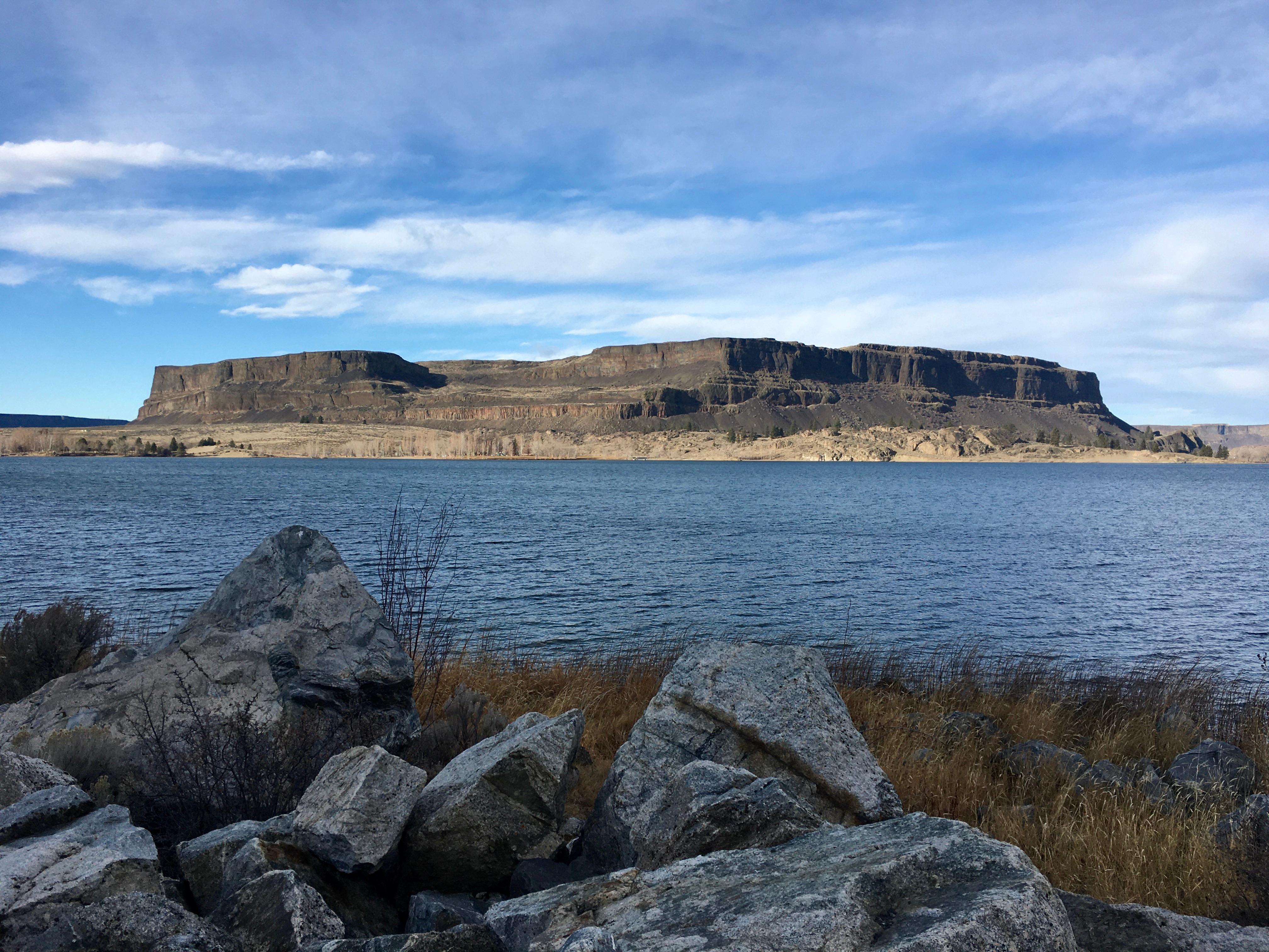
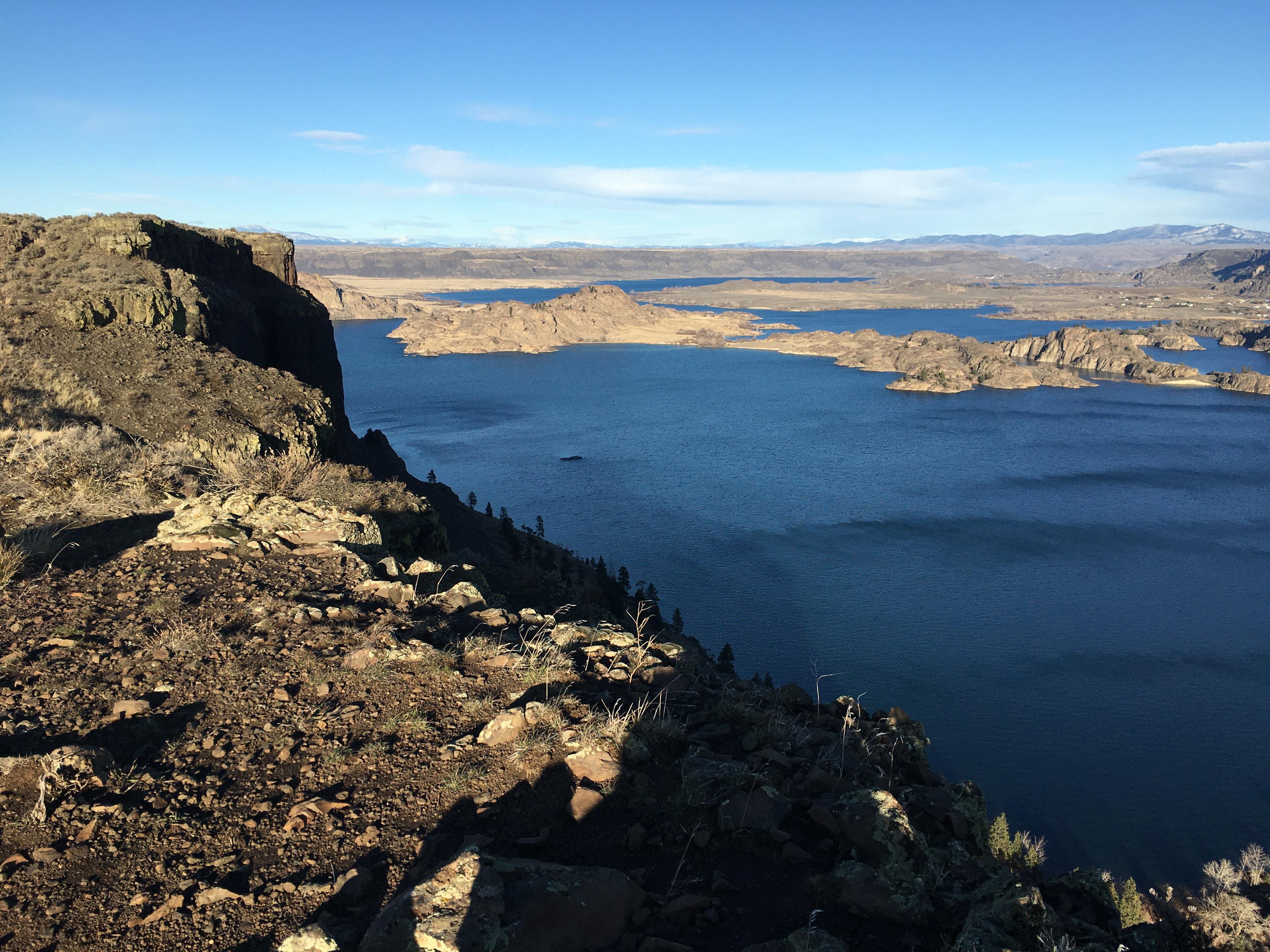
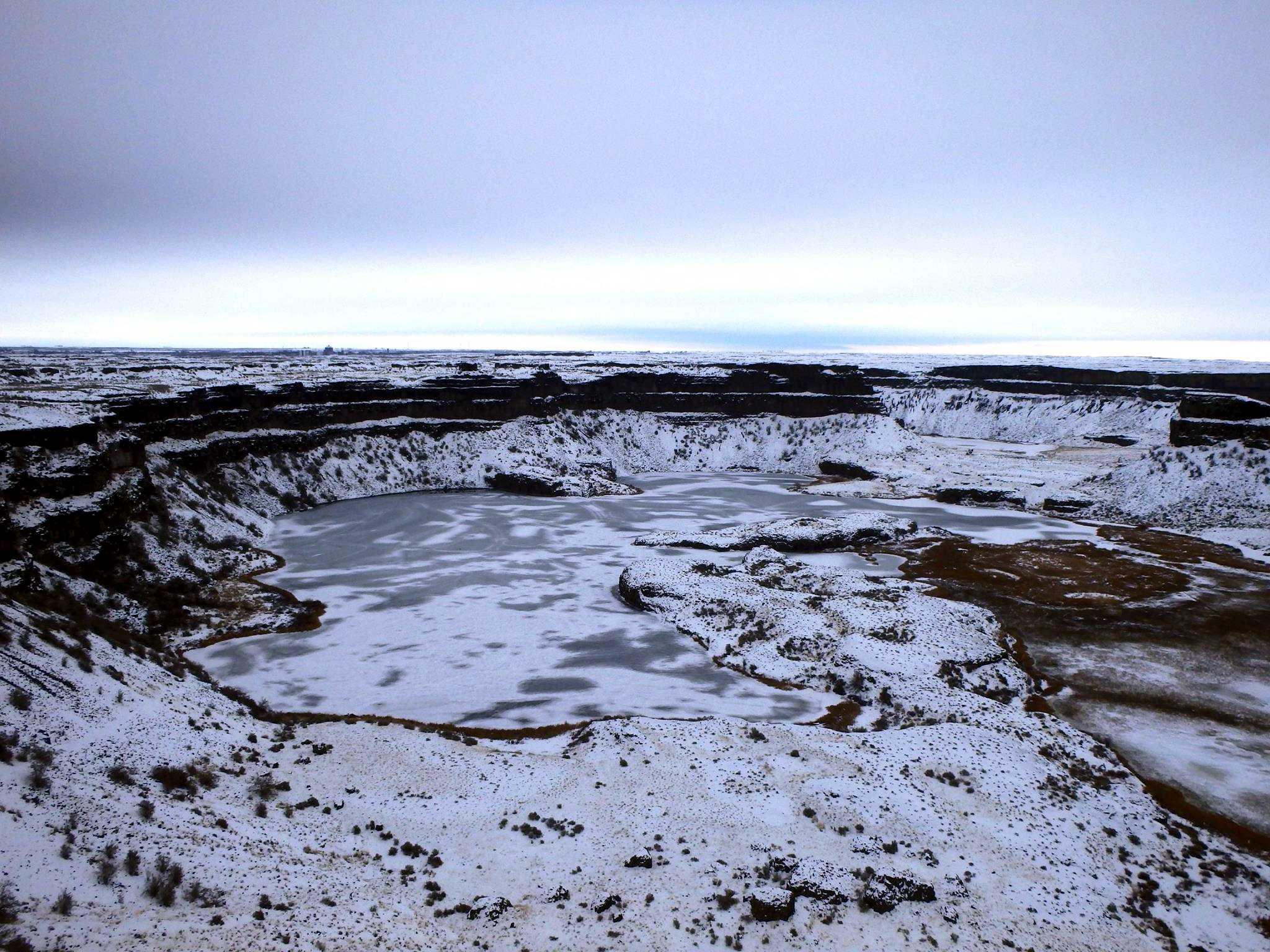
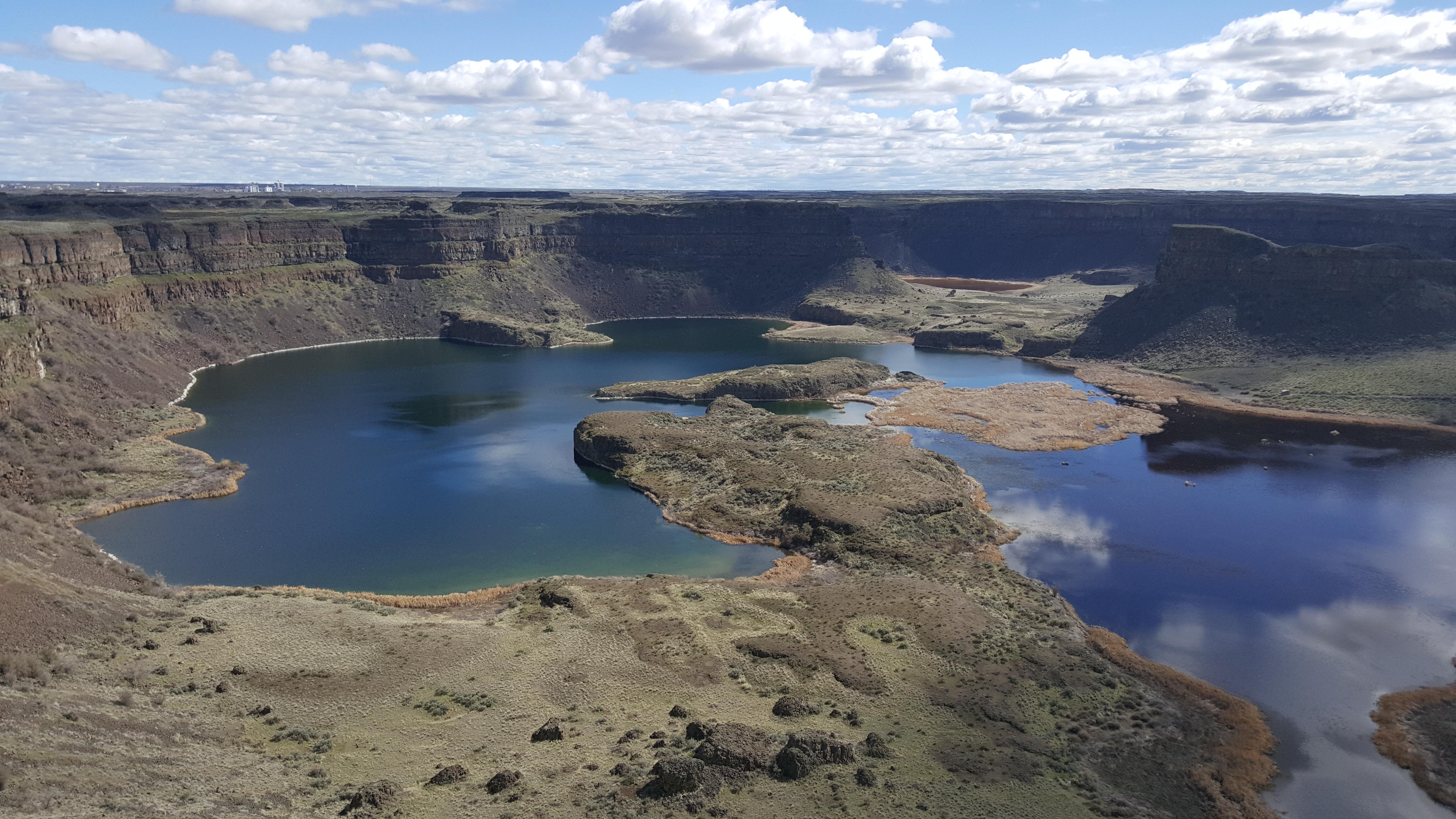
At the end of the last Ice Age, 18,000 to 15,000 years ago, an ice dam in northern Idaho created Glacial Lake Missoula stretching 3,000 square miles around Missoula, Montana. The dam burst and released flood waters across Washington, down the Columbia River into Oregon before reaching the Pacific Ocean. The Ice Age Floods forever changed the lives and landscape of the Pacific Northwest.
From the National Park Service
History
The designation history for this site (every law, proclamation and order, and the administration behind each) is being researched and checked by the Library’s historians.
What to see and do
Activities
- Guided Tours
- Self-Guided Tours - Walking
- Self-Guided Tours - Auto
- Junior Ranger Program
Plan your visit
Hours
Ice Age Floods National Geologic Trail: The Ice Age Floods National Geologic Trail is a collection of sites operated and owned by a variety of partners. , Hours of operation and season will vary from site to site. Please check each respective site for more details and information.
Getting there
To Trail Headquarters from Spokane Take I-90 West At Exit 277, merge onto US-2 toward Davenport/Fairchild AFB/Spokane Airport Just past Wilbur, turn right onto WA-21 Stay left onto Highway 174 Turn right onto WA-155 Stay on WA-155 past Grand Coulee Dam and into the town of Coulee Dam Cross the Columbia River and continue on WA-155 Turn right onto Crest Drive and follow up the hill. The HQ Office is located on the left
Weather
The National Geologic Trail is a collection of sites stretched across a four state area, the weather will vary from site to site. Please check the weather for your local region, or the region you'll be visiting, through their respective sites.
Phone: (509) 237-9722
Whose lands these are
These lands are the ancestral and present-day homelands of Native nations. A section on whose lands these are is being prepared with tribal review. In the meantime, Native Land Digital offers a starting point.
Photos
Pair it with
- Saddle Mountain National Wildlife Refuge FWS · 25 miles
- Columbia National Wildlife Refuge FWS · 27 miles
- McNary National Wildlife Refuge FWS · 31 miles
- Whitman Mission National Historic Site NPS · 44 miles
- Cold Springs National Wildlife Refuge FWS · 49 miles
- Umatilla National Wildlife Refuge FWS · 57 miles