National Park · NPS · TX
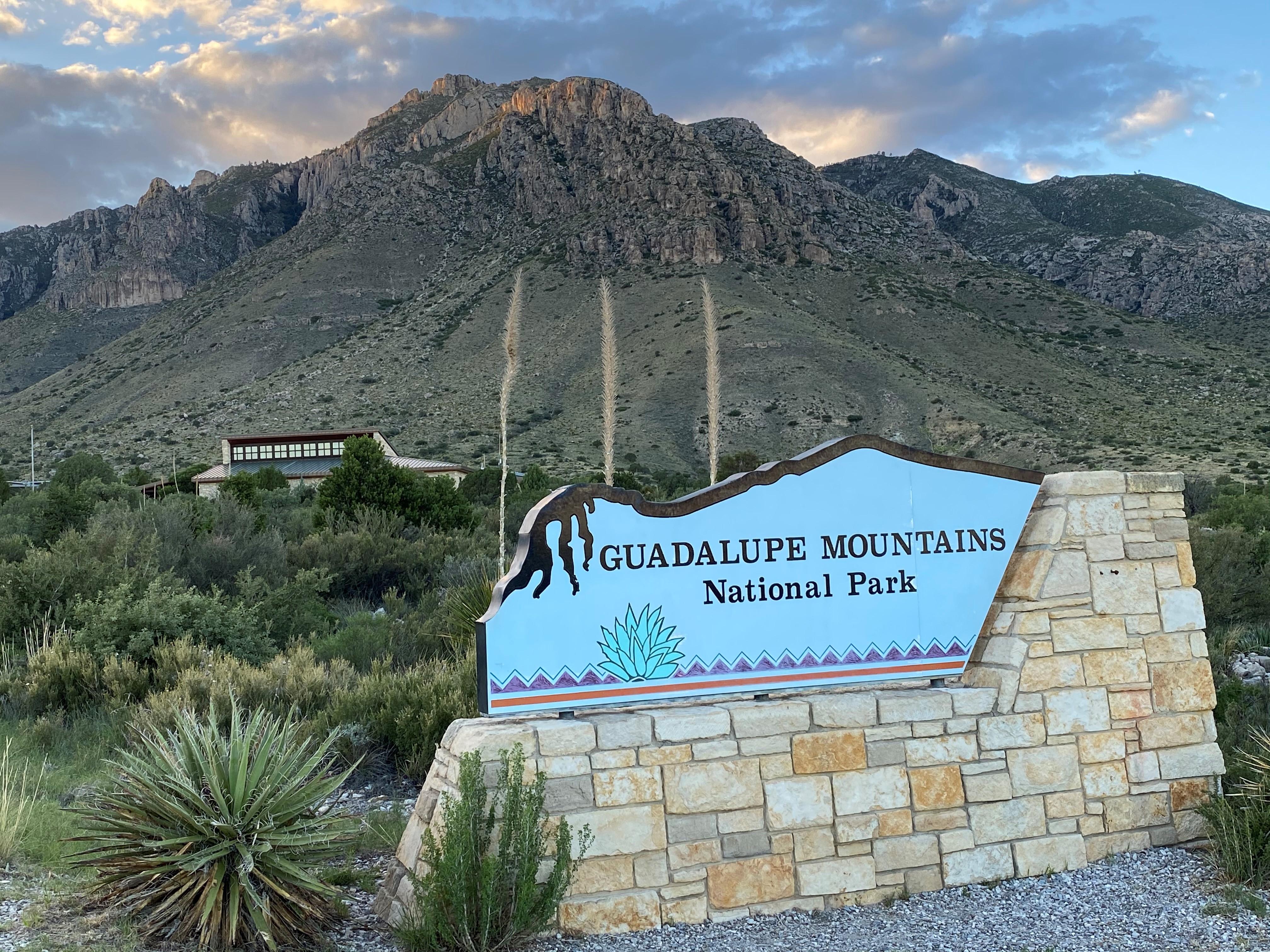
Guadalupe Mountains National Park
Photo: NPS/Bieri, El Capitan
Alerts and conditions
Information Park Store To Go Cashless
Starting August 14th, 2025 the park store will go cashless. All major credit cards, debit cards and mobile electronic payments will be accepted.
Caution Devil's Hall is a Strenuous Hike
The hike to Devil's Hall is rated as strenuous. The portion of the route in the wash requires rock scrambling and is dangerous when wet or if water is present. The wash surface is loose gravel and rocks and may be unstable.
Overview
Come experience mountains and canyons, desert and dunes, night skies and spectacular vistas within a place unlike any other. Guadalupe Mountains National Park protects the world's most extensive Permian fossil reef, the four highest peaks in Texas, an environmentally diverse collection of flora and fauna, and the stories of lives shaped through conflict, cooperation and survival.
From the National Park Service
History
The designation history for this site (every law, proclamation and order, and the administration behind each) is being researched and checked by the Library’s historians.
What to see and do
Activities
- Auto and ATV
- Auto Off-Roading
- Camping
- Backcountry Camping
- Car or Front Country Camping
- Horse Camping (see also Horse/Stock Use)
- Group Camping
- RV Camping
- Guided Tours
- Self-Guided Tours - Walking
- Hiking
- Backcountry Hiking
- Front-Country Hiking
- Horse Trekking
- Horse Camping (see also camping)
- Horseback Riding
- Junior Ranger Program
- Wildlife Watching
- Birdwatching
- Museum Exhibits
Plan your visit
Hours
Pine Springs: The Pine Springs area, including the campground, visitor center, trailhead, and associated parking areas are open and accessible all of the time during normal operations. Camping is permitted in designated campsites only.
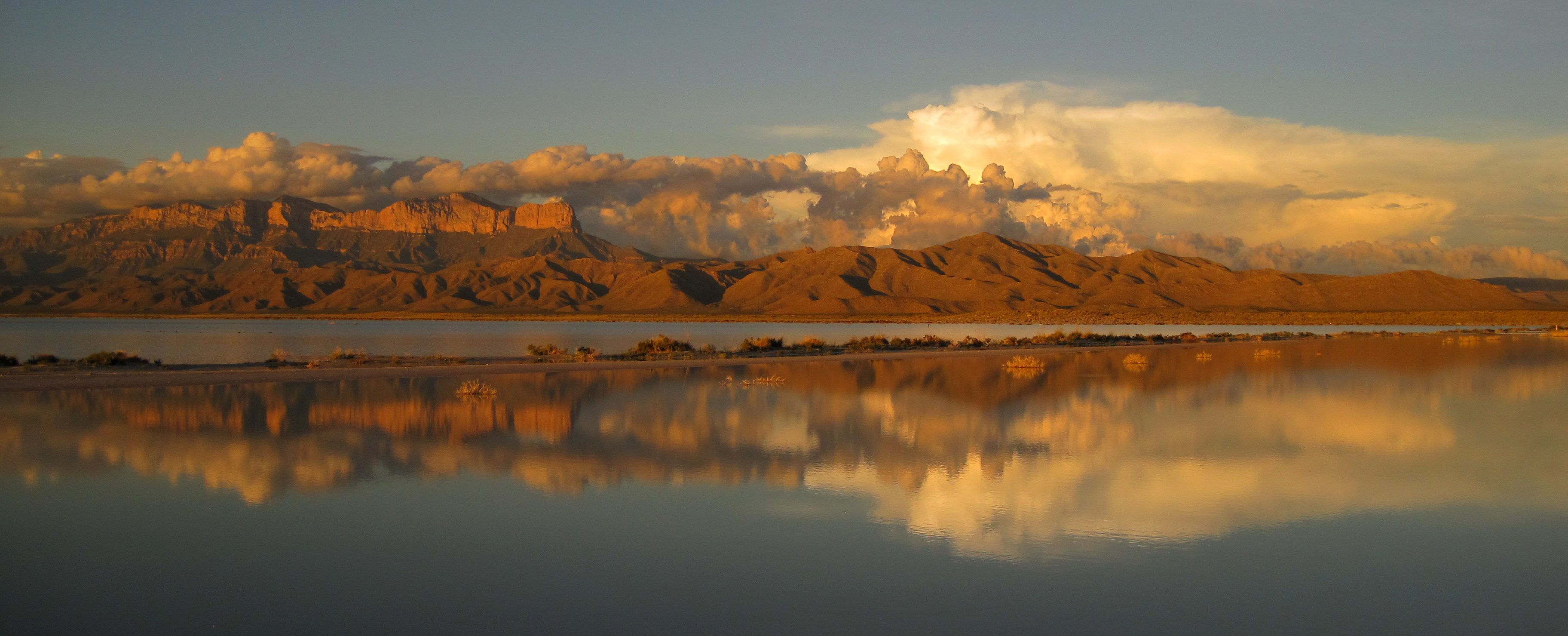
Salt Basin Dunes: Located on the remote west side of the park, these striking dunes cover nearly 2,000 acres. The Salt Basin Dunes are designated day use only and are accessible for visitation beginning at sunrise to 30 minutes after sunset. Camping is specifically prohibited. The surface of the access road is clay. During rainy weather, the road becomes dangerously slippery; it is unsafe to travel when wet. The speed limit is 25 miles per hour. Watch for livestock on the roadway.
McKittrick Canyon: McKittrick Canyon is designated as day-use only, with visiting hours from 8:00 a.m. - 5:00 p.m. (Mountain Time) daily. Please exit McKittrick Canyon before the posted closing time. The entrance gate on U.S.Highway 62/180 is locked each evening.
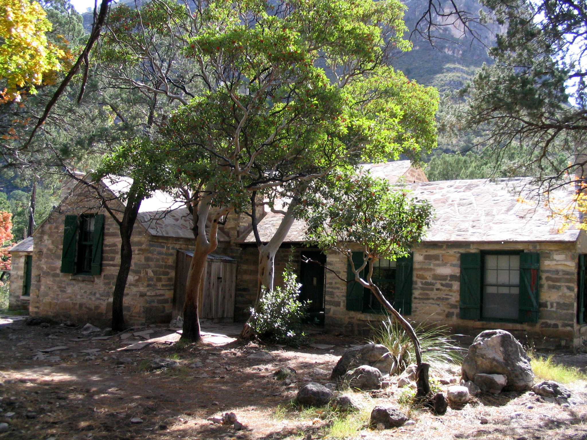
Frijole Ranch: The Frijole Ranch Road provides access to the Frijole Horse Campsites, the Frijole Ranch History Museum, and the associated trailhead. A picnic area is located at the end of the road. Camping is permitted in designated campsites only.
Dog Canyon: Dog Canyon lies in a secluded, forested canyon on the north end of the park at an elevation of 6,300 feet. Remote and far removed from civilization; it stands at the edge of the wilderness boundary, and offers an ideal location for quiet camping, birding, hiking, and solitude. A visitor center, trailhead, and campground are available. The Dog Canyon district is open all day during normal park operations.
Fees and passes
- Entrance - Per Person — $10.00
- Entrance - Education/Academic Groups
- Annual Entrance - Park — $35.00
The America the Beautiful pass covers entrance fees at federal recreation lands across all four agencies.
Getting there
Guadalupe Mountains National Park is located on the north side of US Hwy 62/180. If you are traveling east from El Paso, TX, we are 110 miles East of the city. Follow US Hwy 62/180 North to the Pine Springs Visitor Center. If you are traveling from Van Horn, TX, you will travel north on US 54 and make a right-hand turn at the junction of US 62/180 to arrive at the park. If you are traveling west from Carlsbad, NM, you will travel on US Hwy 62/180 South and cross into Texas. Follow signs to the park.
Visitor centers
- Dog Canyon Ranger Station
- Pine Springs Visitor Center
- McKittrick Canyon Contact Station
Campgrounds
- Dog Canyon Campground (15 sites) — reserve
- Pine Springs Campground (35 sites) — reserve
- Guadalupe Peak Wilderness Campground (5 sites) — reserve
- Pine Top Wilderness Campground (8 sites) — reserve
- Bush Mountain Wilderness Campground (5 sites) — reserve
- Blue Ridge Wilderness Campground (5 sites) — reserve
- Mescalero Wilderness Campground (8 sites) — reserve
- Marcus Wilderness Campground (5 sites) — reserve
- McKittrick Ridge Wilderness Campground (8 sites) — reserve
- Wilderness Ridge Wilderness Campground (5 sites) — reserve
- Shumard Canyon Wilderness Campground (5 sites) — reserve
- Tejas Wilderness Campground (5 sites) — reserve
- Frijole Horse Corral Campground (1 sites) — reserve
Weather
The Guadalupe Mountains are known for high winds year-round; gusts can reach 60MPH or higher. In winter the mountains experiences occasional, light snowfalls which seldom last more than a day. From May through October, temperatures vary with highs between 80F-100F+ with lows in the 40F-60F range. November to April is generally milder with highs in between 50F-70F with lows in the 30F-50F range. Elevations above 8,000’ will be about 10F cooler than headquarters, with corresponding wind-chill.
Phone: 915-828-3251
Whose lands these are
These lands are the ancestral and present-day homelands of Native nations. A section on whose lands these are is being prepared with tribal review. In the meantime, Native Land Digital offers a starting point.
Photos
Pair it with
- Carlsbad Caverns National Park NPS · 25 miles
- Lincoln National Forest USFS · 76 miles
- Chamizal National Memorial NPS · 93 miles
- White Sands National Park NPS · 103 miles
- Fort Davis National Historic Site NPS · 109 miles
- San Andres National Wildlife Refuge FWS · 110 miles