National Monument · NPS / BLM · AZ
Grand Canyon-Parashant National Monument
Photo: NPS/T. Miller, Hudson Point
Alerts and conditions
Information Looking for a Grand Canyon view? A warning about mobile devices and map/navigation apps
Map apps may direct you to Parashant if you search for directions to "Grand Canyon" due the canyon's name in both the national park and monument names. The national park has paved roads and services. Parashant has no services and rugged/remote conditions.
Information Arizona Off-Highway Vehicle (OHV) Requirements for Residents and Non-residents.
Off-highway vehicles (OHVs) are required by law to display a valid OHV decal to operate on public and state trust lands in Arizona. This includes “street legal” vehicles that meet these two requirements.
Overview
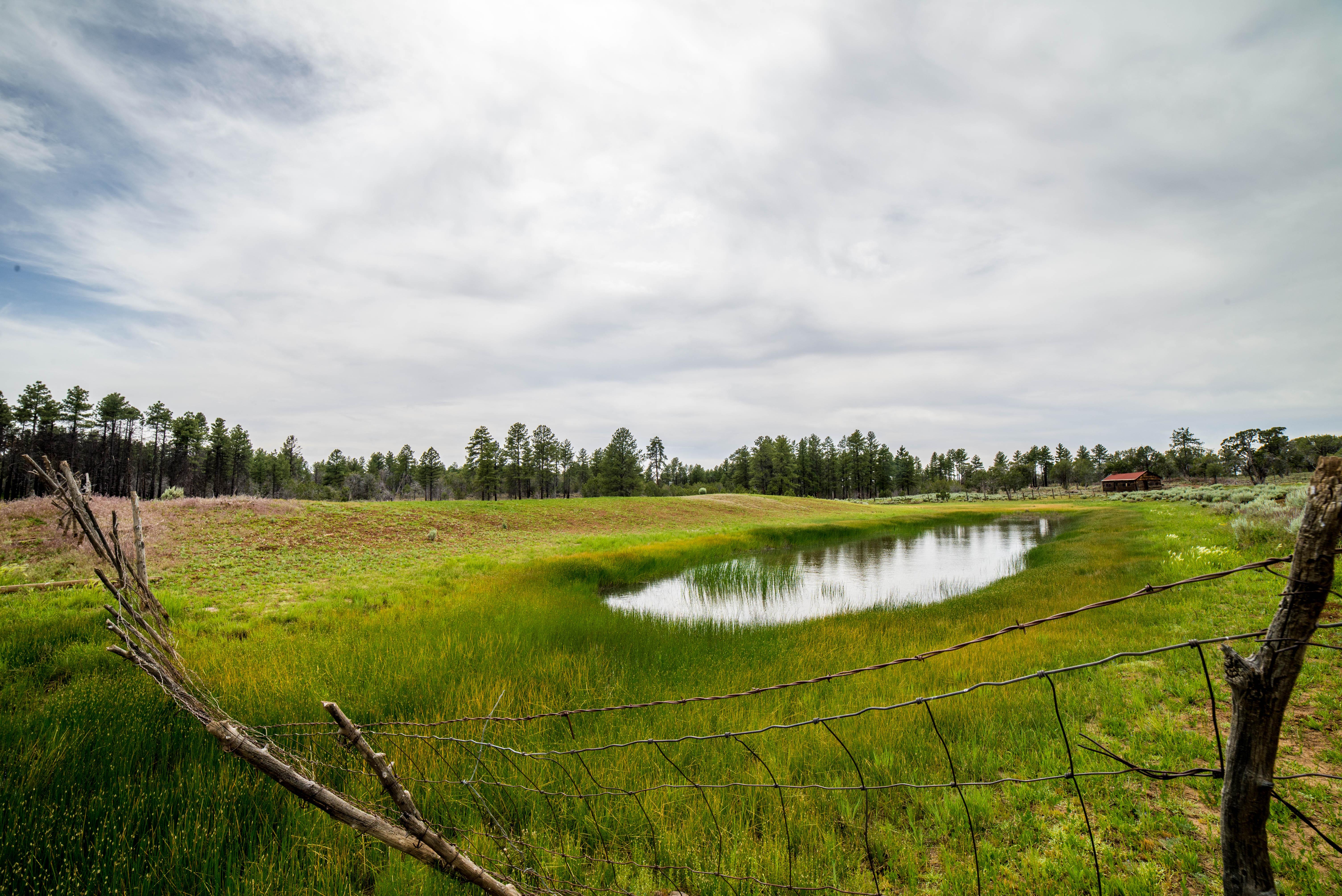
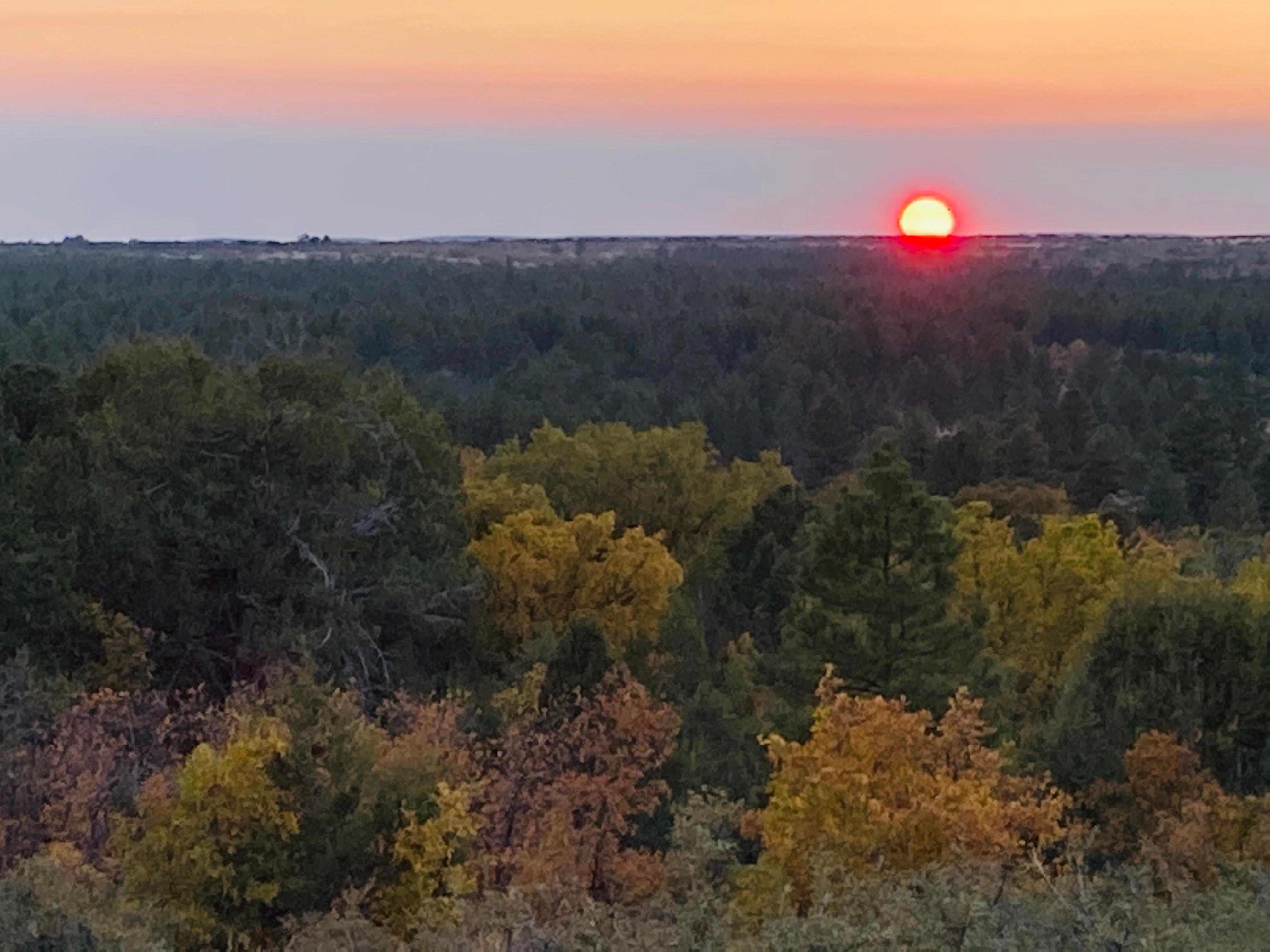
Despite the hardships created by rugged isolation and the lack of natural waters, Parashant has a long human history spanning more than 11,000 years, and an equally rich geologic history spanning almost two billion years. Full of natural splendor and a sense of solitude, this area remains remote and unspoiled, qualities that are essential to the protection of its scientific and historic resources.
From the National Park Service
History
The designation history for this site (every law, proclamation and order, and the administration behind each) is being researched and checked by the Library’s historians.
What to see and do
Activities
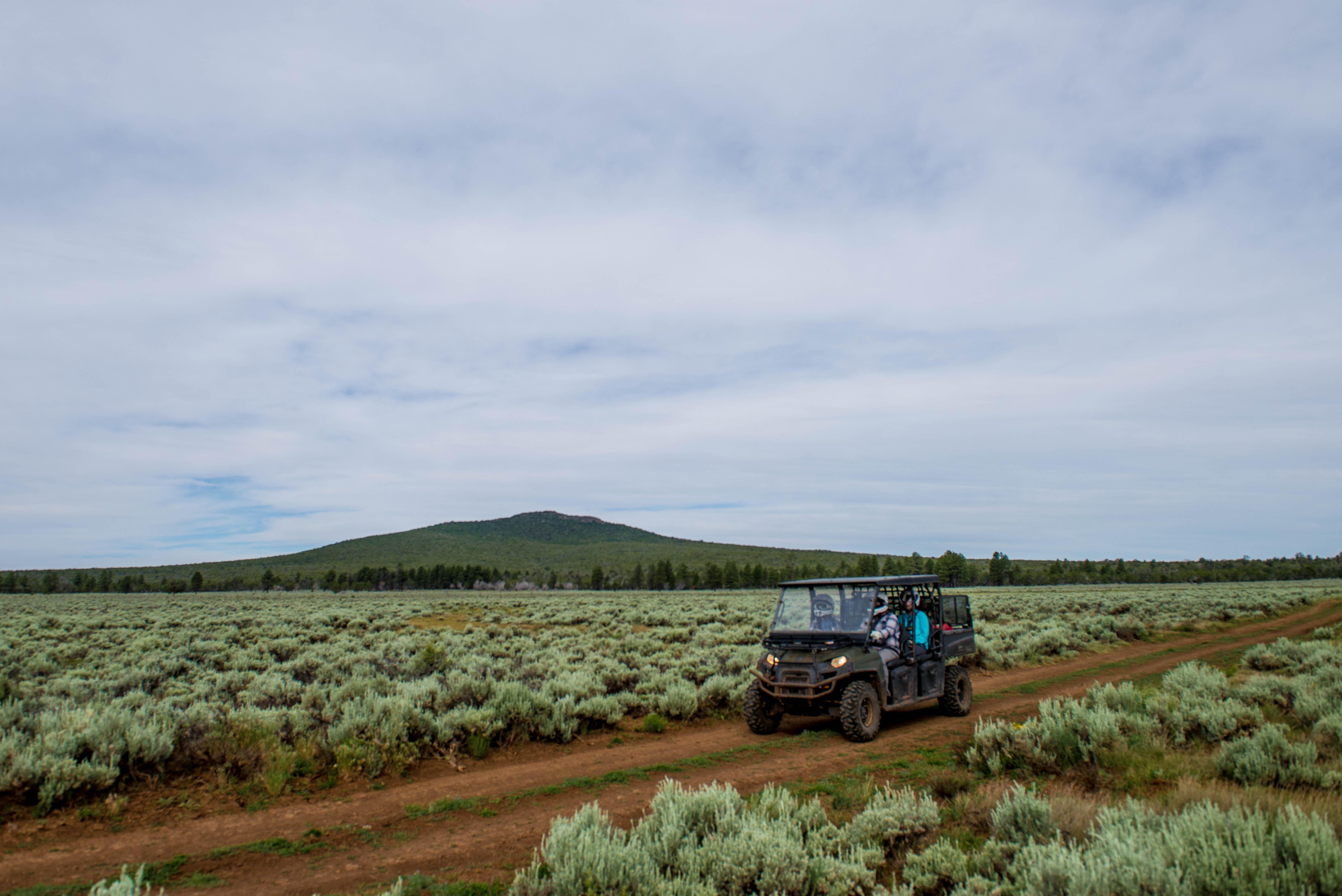
- Auto and ATV
- Scenic Driving
- Astronomy
- Stargazing
- Biking
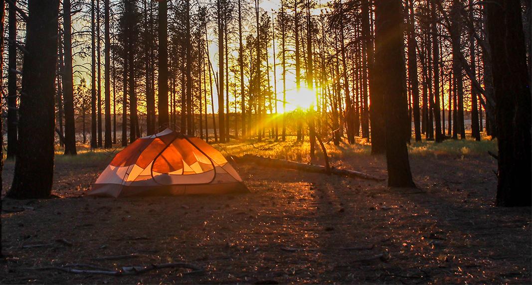
- Camping
- Backcountry Camping
- Hiking
- Backcountry Hiking
- Junior Ranger Program
Plan your visit
Hours
Grand Canyon-Parashant National Monument: The monument is open every day of the year, however many areas may be inaccessible when roads are impassable. Within the boundaries of Grand Canyon-Parashant there are no facilities or visitor contact stations. Do not rely on your cellphone - there is no cell service on the monument. Roads can be impassable during the monsoon season, July through September, and after winter storms.
Getting there
• The monument is located in the northwest corner of Arizona, bordering Nevada to the west and near the southern border of Utah. The monument has entry roads from Nevada, Utah and Arizona. • There are no paved roads or visitor services within the monument's million-plus acres. • Visitors should be prepared for travel on rugged dirt roads, with an appropriate high-clearance vehicle equipped with all-terrain tires. Spare tires should also be all-terrain rated.
Visitor centers
Weather
Parashant is split between low elevation Mojave Desert on the west side and high elevation pinyon/juniper/ponderosa highlands on the east side. Expect sun on average 310 days per year. The summer months of June through September are very hot on the west side with highs above 100°F daily (80°F+ at night) below 2,500 feet. The high elevation east side is ~15°F cooler. Expect heavy afternoon monsoon storms June - September. Roads often stay muddy/icy above 5,500 feet December - February.
Phone: (435) 688-3200
Whose lands these are
These lands are the ancestral and present-day homelands of Native nations. A section on whose lands these are is being prepared with tribal review. In the meantime, Native Land Digital offers a starting point.
Photos
Pair it with
- Gold Butte National Monument BLM · 29 miles
- Beaver Dam Wash National Conservation Area BLM · 47 miles
- Lake Mead National Recreation Area NPS · 49 miles
- Red Cliffs National Conservation Area BLM · 54 miles
- Baaj Nwaavjo I'tah Kukveni National Monument BLM · 59 miles
- Pipe Spring National Monument NPS · 60 miles