National Park · NPS · AZ · Roosevelt connection
Grand Canyon National Park
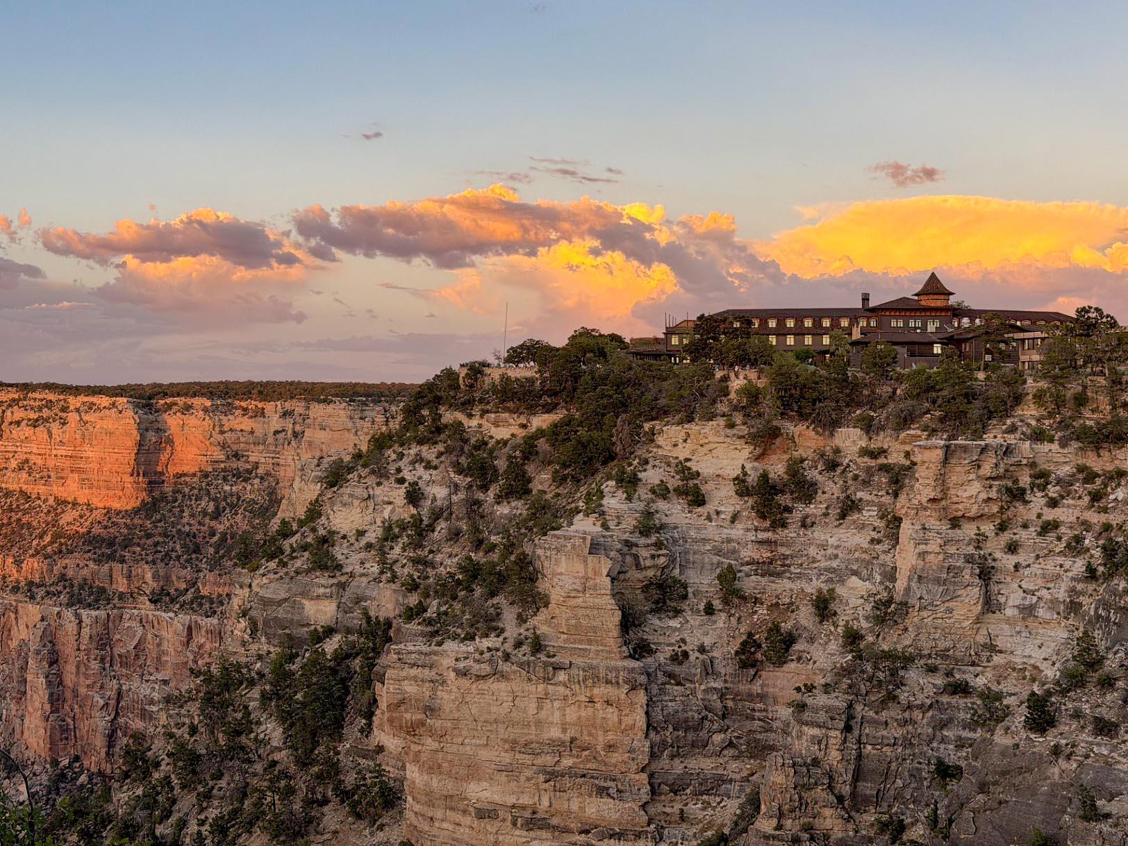
Photo: NPS/M. Quinn, Sunset from Mather Point
Alerts and conditions
Park Closure INNER CANYON TRAIL CLOSURES
Current trail closures: the entire North Kaibab Trail (including Cottonwood Campground), Phantom Ranch, Bright Angel Campground, Silver Bridge, and the Black Bridge. Please do not attempt to access the closed areas.
Caution Overnight Lodging Suspended and Parkwide Stage 4 Water Restrictions
Grand Canyon National Park has implemented Stage 4 water restrictions on the South Rim due to extensive flash flood damage to the Transcanyon Waterline. Overnight accommodations are suspended, and only dry camping is allowed. The park remains open for day use, with food and beverage services, the Grand Canyon Clinic, and Post Office remaining open. Visitors are asked to bring water with them when visiting the park.
Danger INNER CANYON WATER SHUTOFFS
Beginning Sep. 6, no potable water will be available in the inner canyon, including along the Bright Angel Trail (1.5 Mile Resthouse, 3-Mile Resthouse, Havasupai Gardens day use and campground). All backpackers and hikers should carry water filtration and treatment OR carry all water with them.
Caution Critical Backcountry Updates/Closures
Visit this link for the inner canyon weather forecast, current trail closures, today's heat risk, and drinking water availability.
Overview
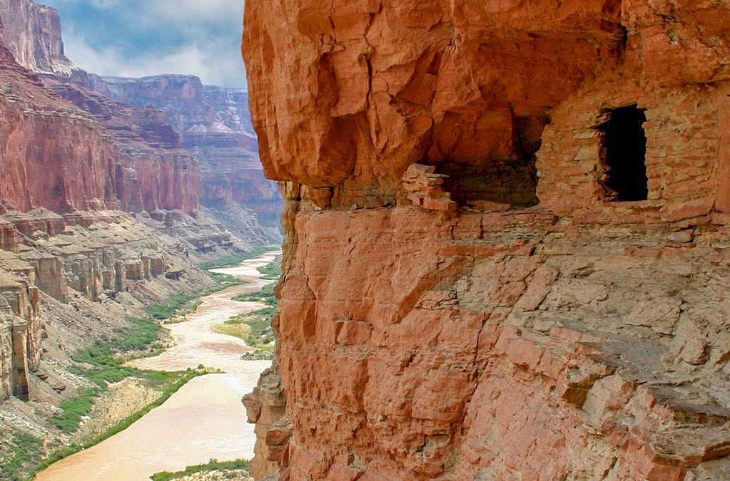
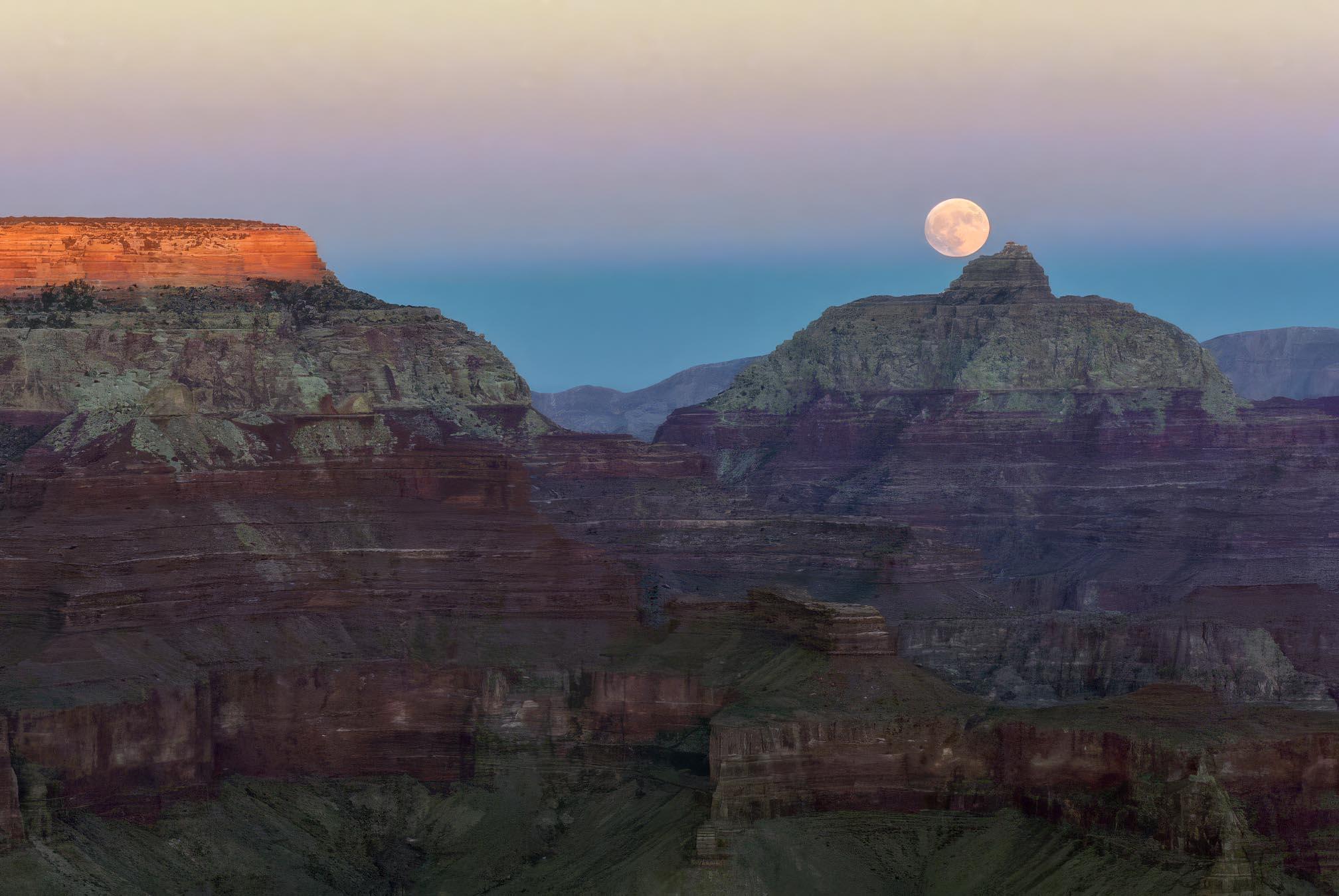
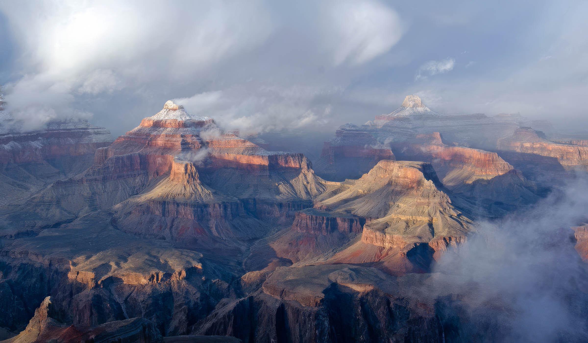
Entirely within the state of Arizona, the park encompasses 278 miles (447 km) of the Colorado River and adjacent uplands. Located on the ancestral homelands of 11 present day Tribal Communities, Grand Canyon is one of the most spectacular examples of erosion anywhere in the world—a mile deep canyon unmatched in the incomparable vistas it offers visitors from both north and south rims.
From the National Park Service
History
The designation history for this site (every law, proclamation and order, and the administration behind each) is being researched and checked by the Library’s historians.
The Roosevelt connection
Protected by T.R.
- January 11, 1908: as President, Theodore Roosevelt set aside Grand Canyon National Monument.
presidency.ucsb.edu · web.archive.org · nps.gov · presidency.ucsb.edu · Roosevelt’s Public Lands
His proclamations and orders
- November 28, 1906: Proclamation 694, “Setting Aside Game Preserve in Grand Canyon Forest Reserve, Arizona.” Today’s site includes land from this document. The park took part of the preserve in 1919 and covers the plateau's southern end.
Proclamation 694 in Theodore Roosevelt’s Executive Orders and Proclamations - January 11, 1908: Proclamation 794, “Setting Aside Grand Canyon National Monument, Arizona.” Today’s site absorbed into it. The 1919 act revoked the monument and folded its lands into the park; 4,919,163 recreation visits in 2024.
Proclamation 794 in Theodore Roosevelt’s Executive Orders and Proclamations - June 23, 1908: Proclamation 814, “Enlarging the Grand Canyon National Game Preserve, Arizona.” Today’s site includes land from this document. Much of the South Rim ground added in 1908 and kept in 1909 lies inside the park.
Proclamation 814 in Theodore Roosevelt’s Executive Orders and Proclamations
T.R. was here
- El Tovar Hotel: July 14, 1913.
El Tovar Hotel in Theodore Roosevelt Day by Day · First recorded day
What to see and do
Activities
- Arts and Culture
- Cultural Demonstrations
- Auto and ATV
- Scenic Driving
- Astronomy
- Stargazing
- Biking
- Road Biking
- Boating
- Camping
- Backcountry Camping
- Car or Front Country Camping
- Horse Camping (see also Horse/Stock Use)
- Fishing
- Food
- Flying
- Guided Tours
- Hands-On
- Volunteer Vacation
- Hiking
- Backcountry Hiking
- Front-Country Hiking
- Horse Trekking
- Paddling
- Whitewater Rafting
- Junior Ranger Program
- Wildlife Watching
- Birdwatching
- Park Film
- Museum Exhibits
- Shopping
- Bookstore and Park Store
Plan your visit
Hours
South Rim - South Entrance: Both Desert View (East Entrance) and South Entrance are Open 24 hours/day and 7 Days/week. Credit cards, and America the Beautiful passes are accepted for entry. Cash is not accepted at this time. The South Entrance Station, near Tusayan, Arizona, receives the most traffic, an experiences long lines and up to 2 hour wait times between 9:30 am and 4 pm. The East Entrance at Desert View - 32 miles east of the village (accessed via US 89 to Cameron, AZ, then west on SR 64, usually has shorter wait times.
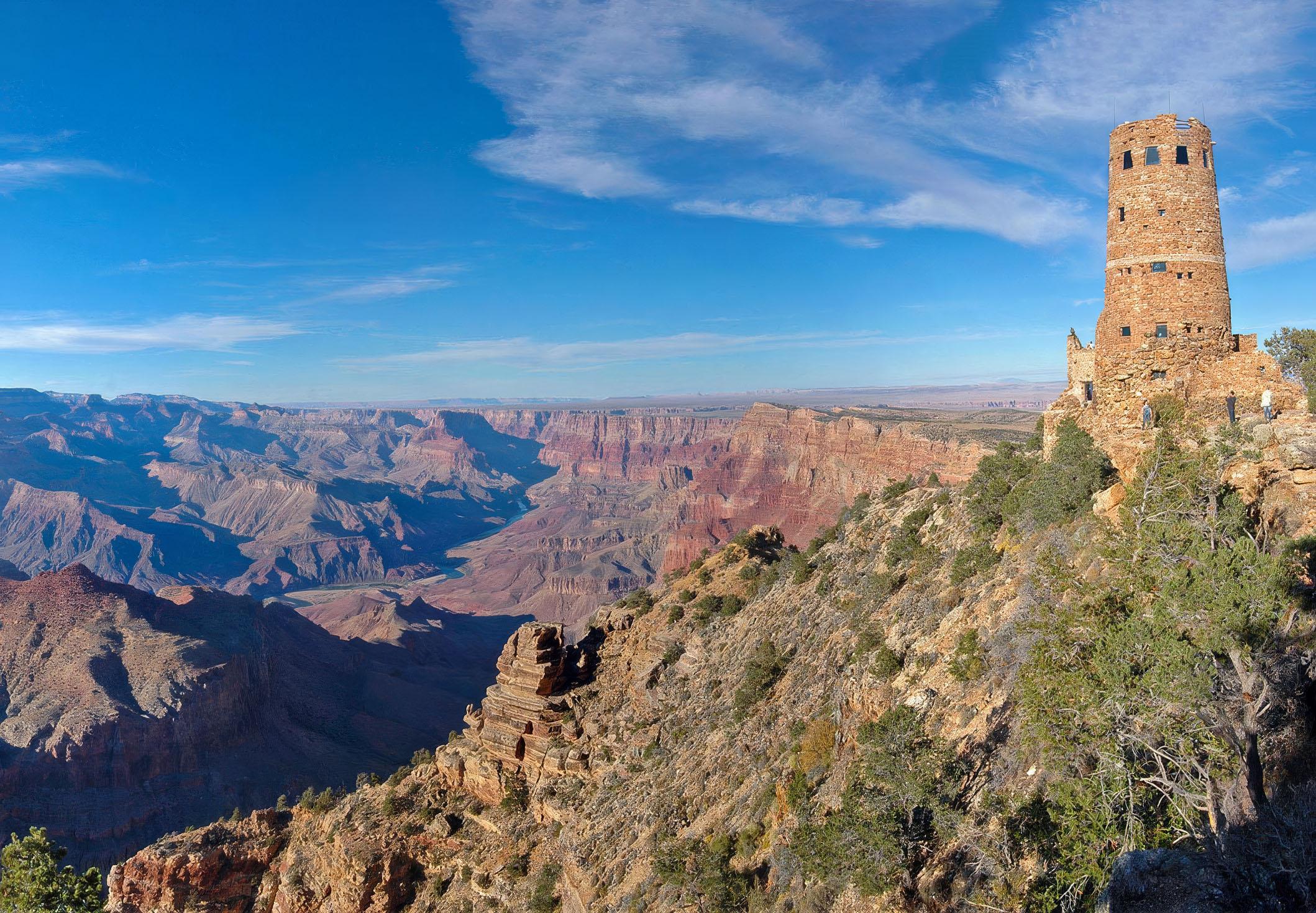
South Rim - Desert View (East Entrance): The East Entrance to the park at Desert View is open 24 hours/day, 7 days/week. Visitors traveling through the Navajo Nation on US 89, turn west at Cameron, Arizona onto State Route 64, then drive 25 miles (40 km) to the park's East Entrance. A stop at Desert View provides spectacular first views of Grand Canyon and Colorado River. Most Desert View services are open for visitors. Desert View Campground will be open for the 2025 season between April 12 and October 12. 2025. Reservations are required.
Fees and passes
- Entrance - Private Vehicle — $35.00
- Entrance - Motorcycle — $30.00
- Entrance - Per Person — $20.00
- Nonresident — $100.00
- Annual Entrance - Park — $70.00
The America the Beautiful pass covers entrance fees at federal recreation lands across all four agencies.
Getting there
South Rim: Open all year, is located 60 miles north of Williams, Arizona (via route 64 from Interstate 40) and 80 miles northwest of Flagstaff (via route 180). Grand Canyon lies entirely within the state of Arizona. ---- North Rim: Select areas are open to public access between Oct 1 and Nov 14. View the park's news releases for details. The North Rim entrance station is located 30 miles south of Jacob Lake, AZ, on Highway 67; the actual rim of the canyon is an additional 14 miles south.
Visitor centers
Campgrounds
- Desert View Campground (Reservations Required) (49 sites) — reserve
- Mather Campground - South Rim (327 sites) — reserve
- Trailer Village RV Park - South Rim (123 sites) — reserve
Weather
Since Grand Canyon has elevations that range from 2,500 feet at the bottom to 8,400 feet on the North Rim, weather can vary significantly depending on the season and the specific location within the park. Winters tend to be cold and snowy, and summers have periods of excessive heat. High temperatures inside the canyon tend to be 20 to 30 degrees warmer then on the canyon's rims. Weather conditions can change rapidly, so it's wise to check forecasts before visiting.
Phone: 928-638-7888
Whose lands these are
These lands are the ancestral and present-day homelands of Native nations. A section on whose lands these are is being prepared with tribal review. In the meantime, Native Land Digital offers a starting point.
Photos
Pair it with
- Kaibab National Forest USFS · 40 miles
- Grand Canyon Preserve National Game Refuge USFS · 40 miles
- Wupatki National Monument NPS · 51 miles
- Sunset Crater Volcano National Monument NPS · 55 miles
- Baaj Nwaavjo I'tah Kukveni National Monument BLM · 56 miles
- Vermilion Cliffs National Monument BLM · 61 miles