National Recreation Area · NPS · WV
Gauley River National Recreation Area
Photo: NPS Photo, Splashy Gauley River
Alerts and conditions
Overview
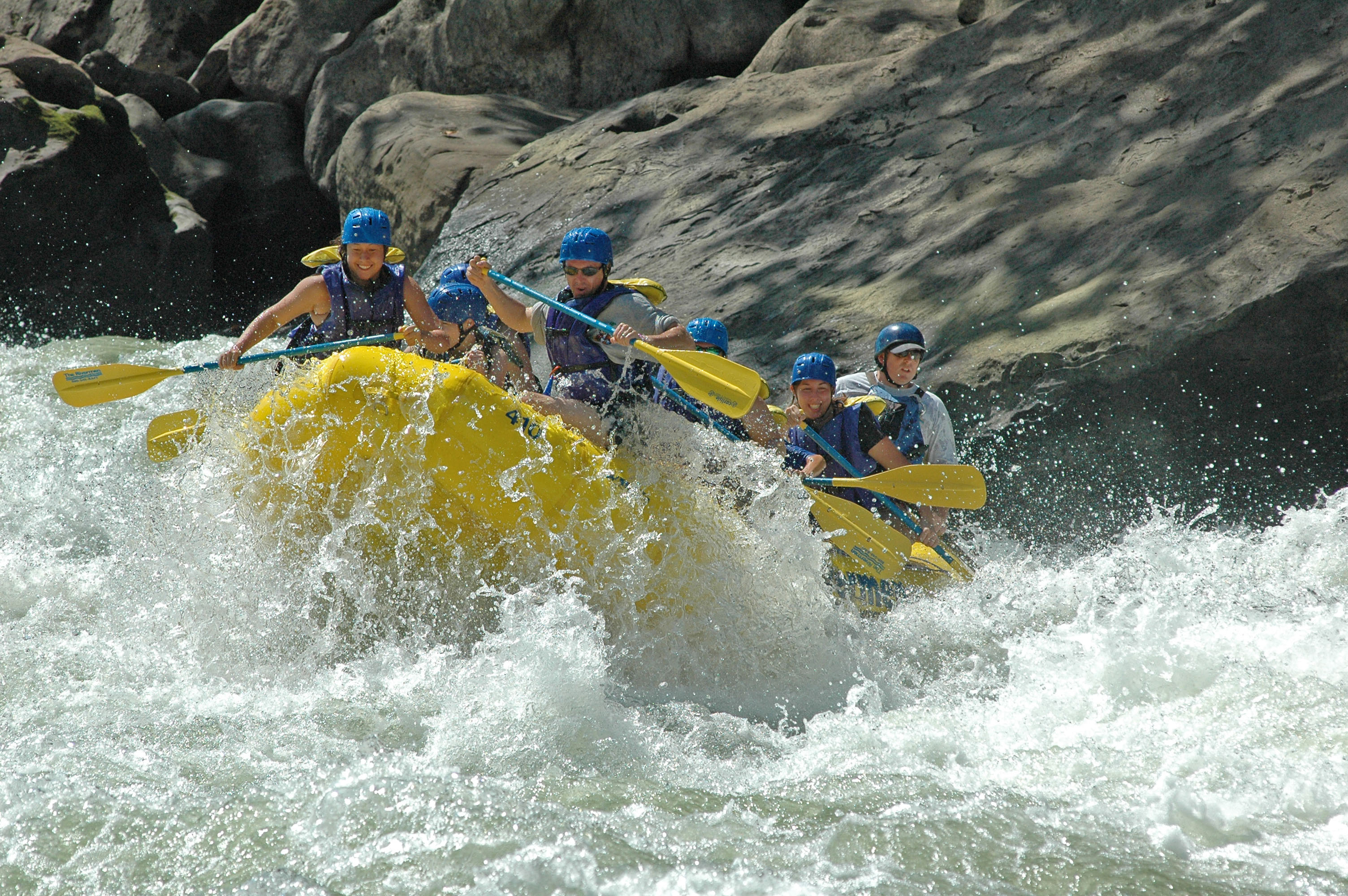
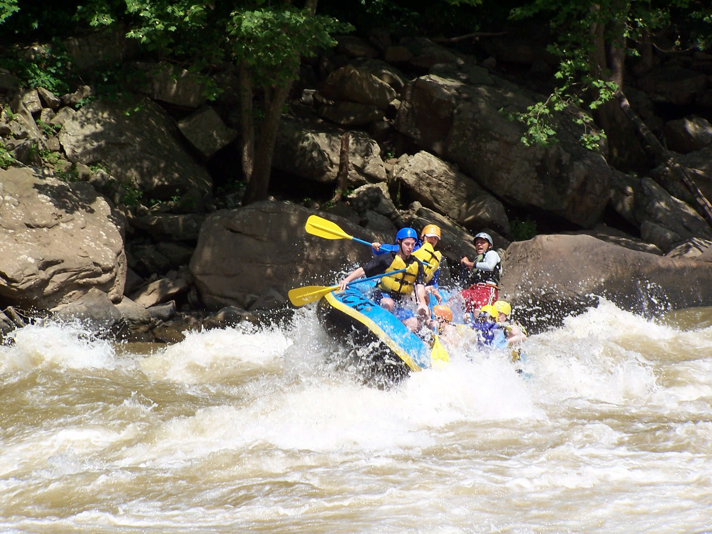
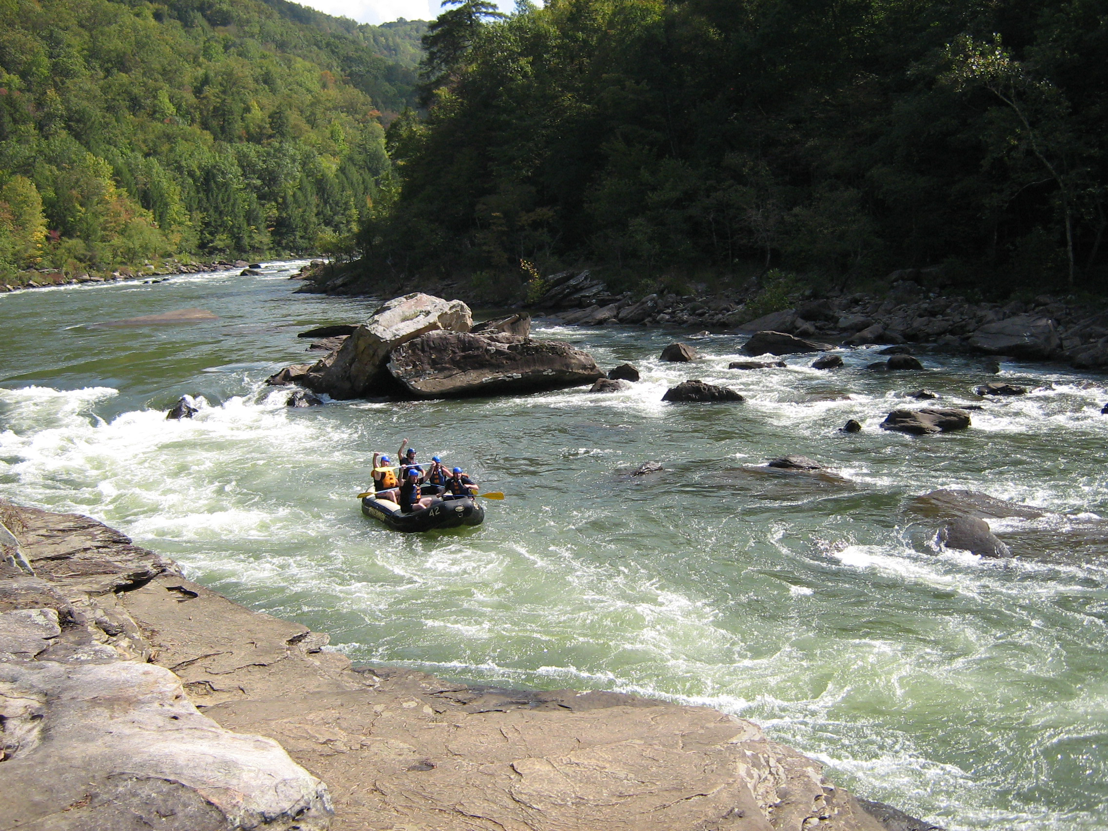
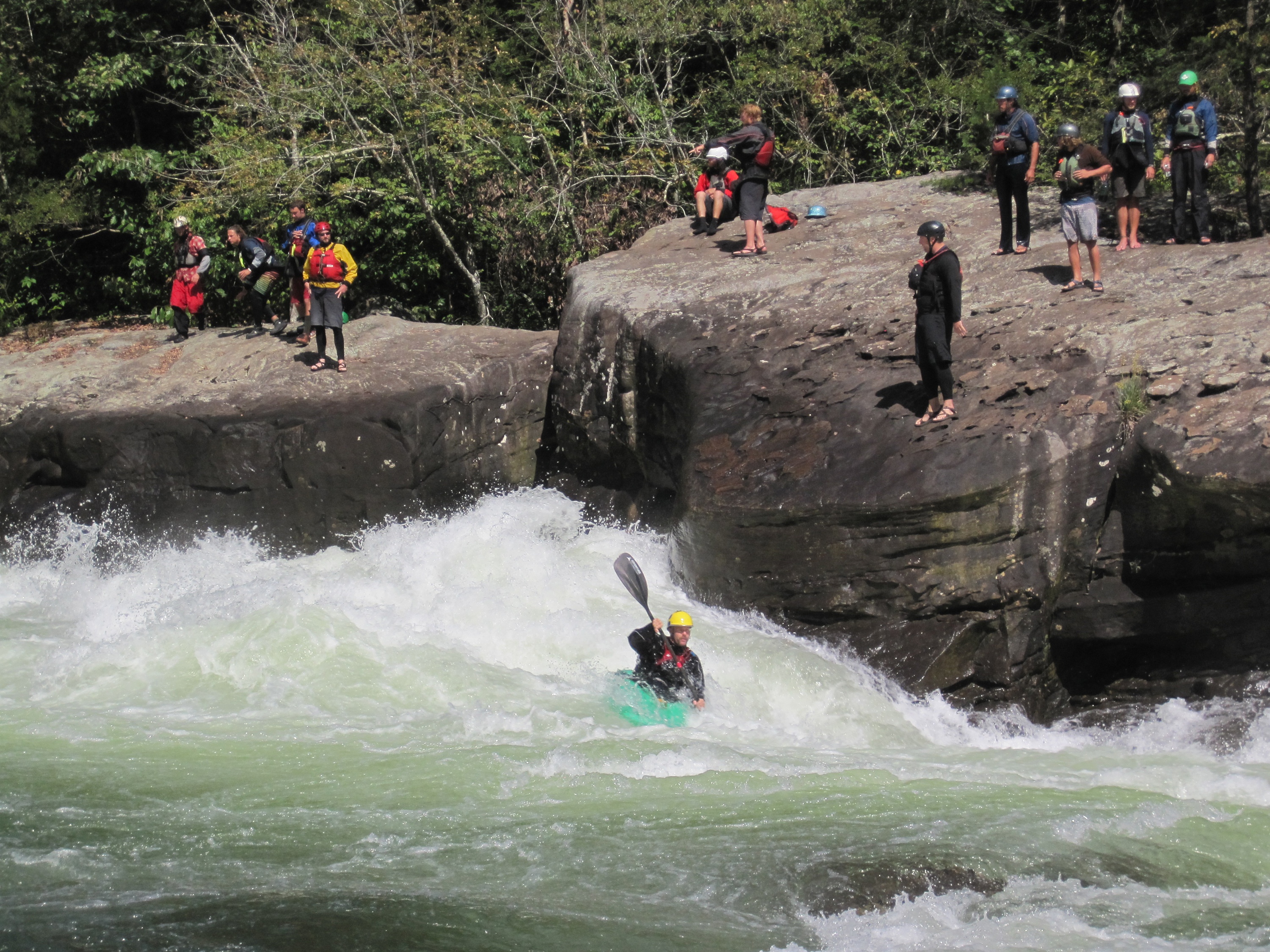
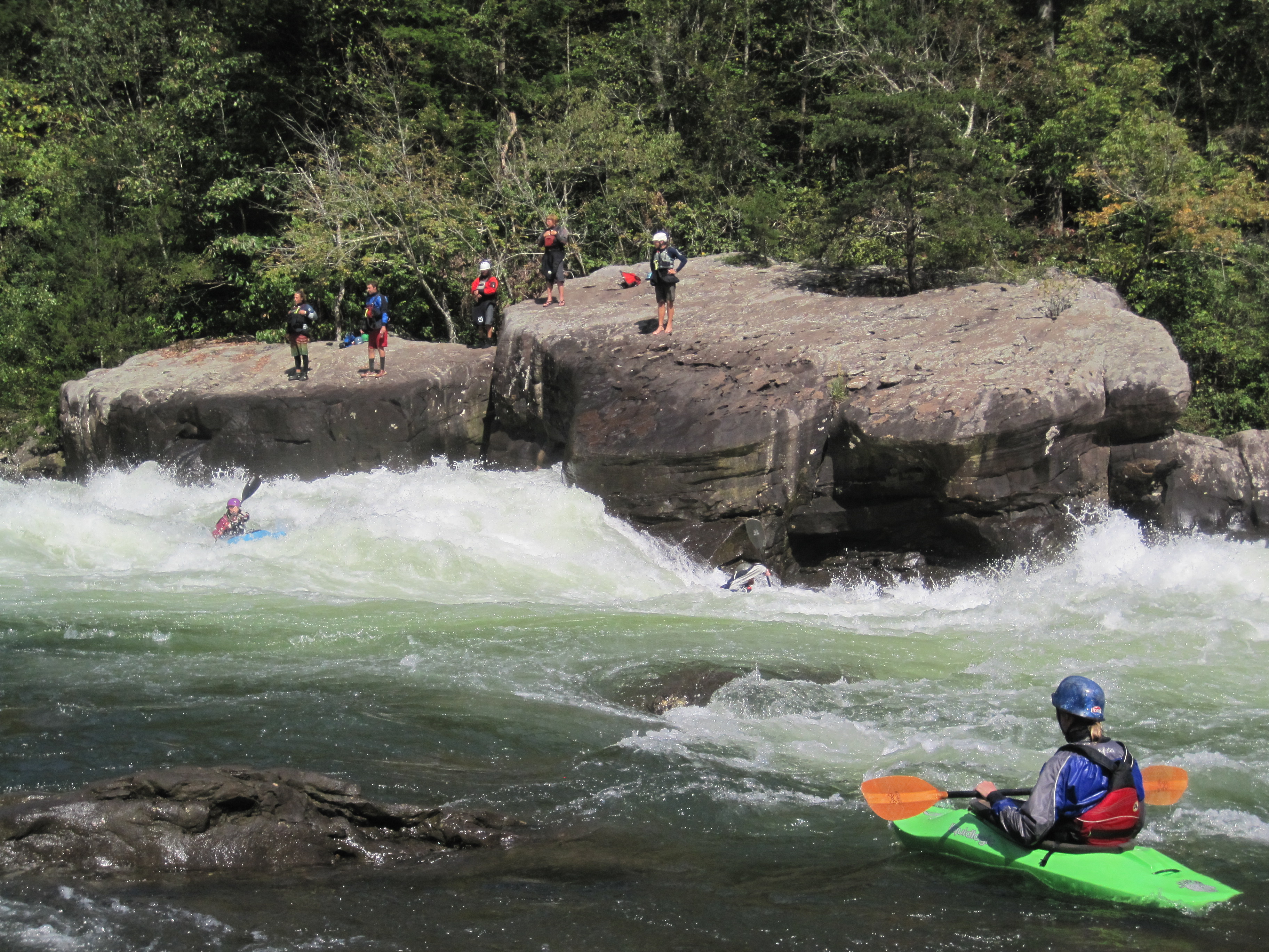
The 25 miles of free-flowing Gauley River and the six miles of the Meadow River pass through scenic gorges and valleys containing a wide variety of natural and cultural features. The Gauley River contains several class V+ rapids, making it one of the most adventurous white water boating rivers in the east.
From the National Park Service
History
The designation history for this site (every law, proclamation and order, and the administration behind each) is being researched and checked by the Library’s historians.
What to see and do
Activities
- Boating
- Camping
- Car or Front Country Camping
- RV Camping
- Fishing
- Freshwater Fishing
- Paddling
- Kayaking
- Whitewater Rafting
- Junior Ranger Program
Plan your visit
Hours
Gauley River National Recreation Area: The area is open year round. The official Gauley boating season is from early September through mid October. Boating is occasionally possible at other times, depending on water releases from Summersville Dam. There is no visitor center for Gauley River National Recreation Area. Please visit the Canyon Rim Visitor Center for New River Gorge National Park and Preserve for information.
Getting there
Plane The largest airport is at Charleston, about 65 miles from Summersville. There are also small airports at Summersville and Beckley. Car The main entrance to Gauley River National Recreation Area is located off US Route 19 south of Summersville and north of Fayetteville, West Virginia. Turn off US Route 19 onto WV Route 129 toward Summersville Dam. Take the second left after you cross over the dam and follow the signs to Gauley River.
Visitor centers
Campgrounds
- Gauley Tailwaters (18 sites)
Weather
Weather in the Appalachian Mountains can be unpredictable and can change quickly. Always be prepared for the possibility of sudden storms. Weather in the mountains is often cooler and wetter than the surrounding area. On average, the warmest month is July. The maximum average precipitation also occurs in July.
Phone: 304-465-0508
Whose lands these are
These lands are the ancestral and present-day homelands of Native nations. A section on whose lands these are is being prepared with tribal review. In the meantime, Native Land Digital offers a starting point.
Photos

Pair it with
- New River Gorge National Park & Preserve NPS · 24 miles
- Bluestone National Scenic River NPS · 44 miles
- Monongahela National Forest USFS · 65 miles
- Jefferson National Forest USFS · 66 miles
- Ohio River Islands National Wildlife Refuge FWS · 81 miles
- George Washington National Forest USFS · 83 miles