Historic Site and Historical Park · NPS · AR, OK
Fort Smith National Historic Site
Photo: NPS Photo, Visitor Center
Alerts and conditions
Overview
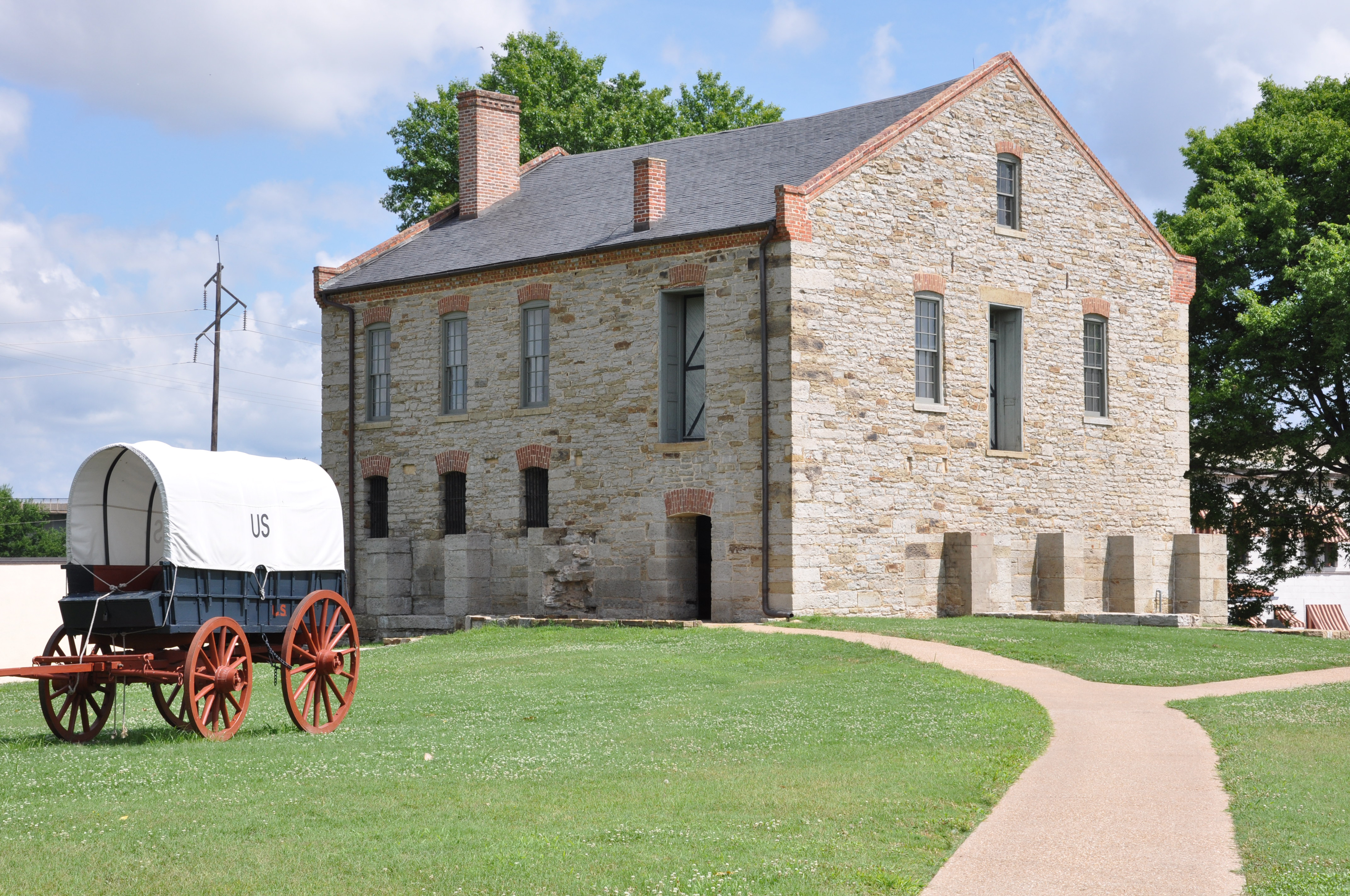
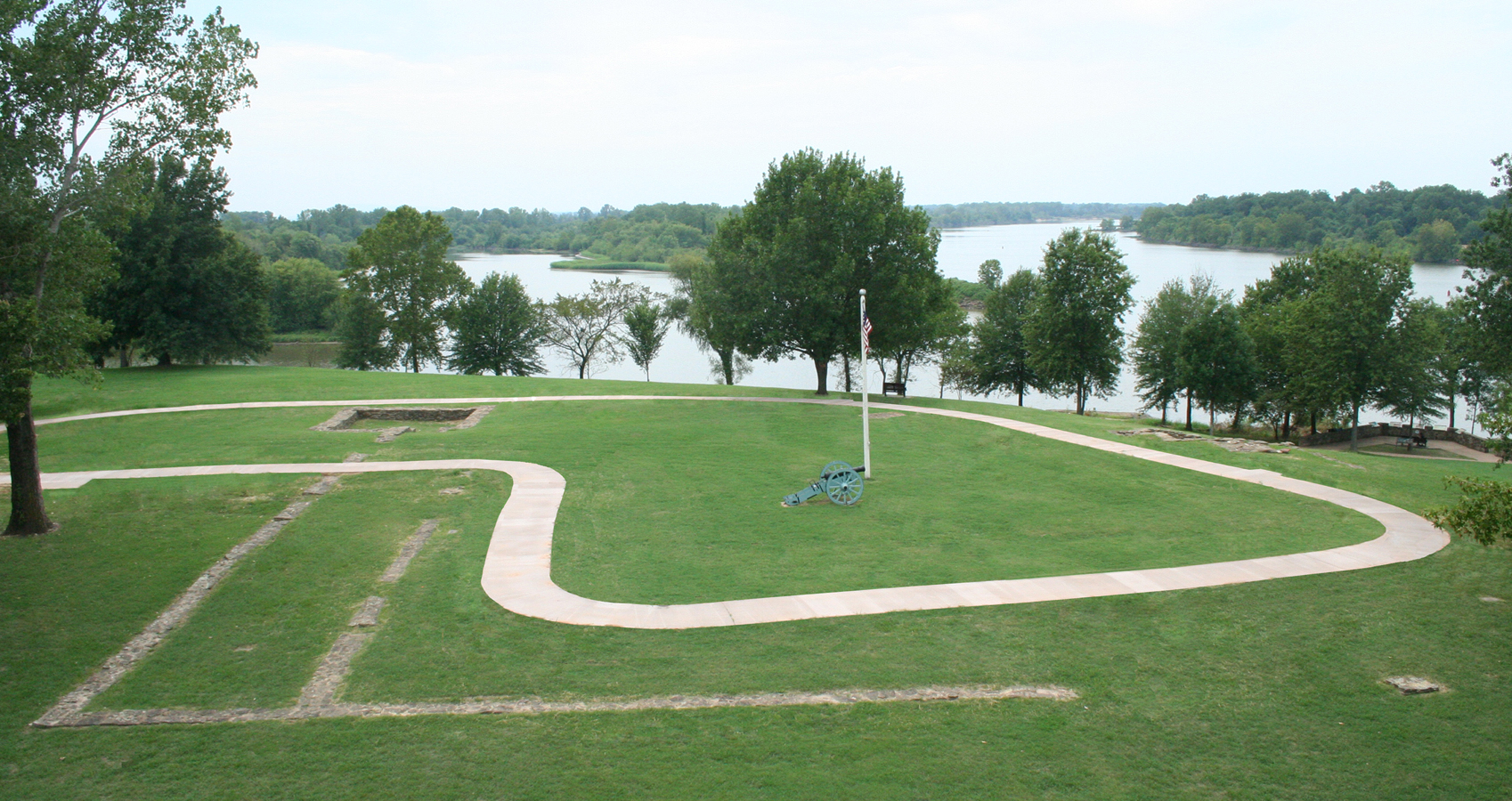
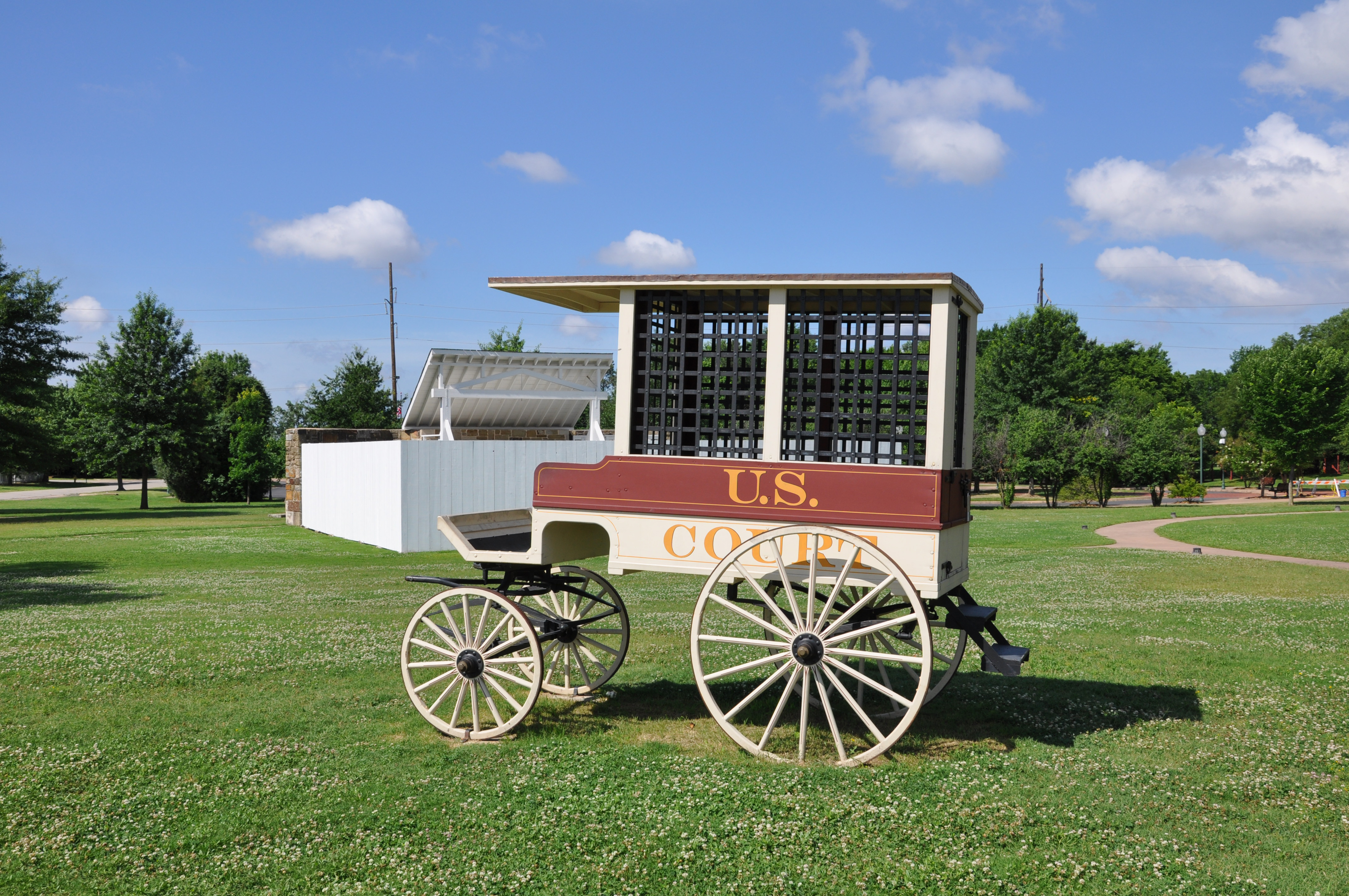
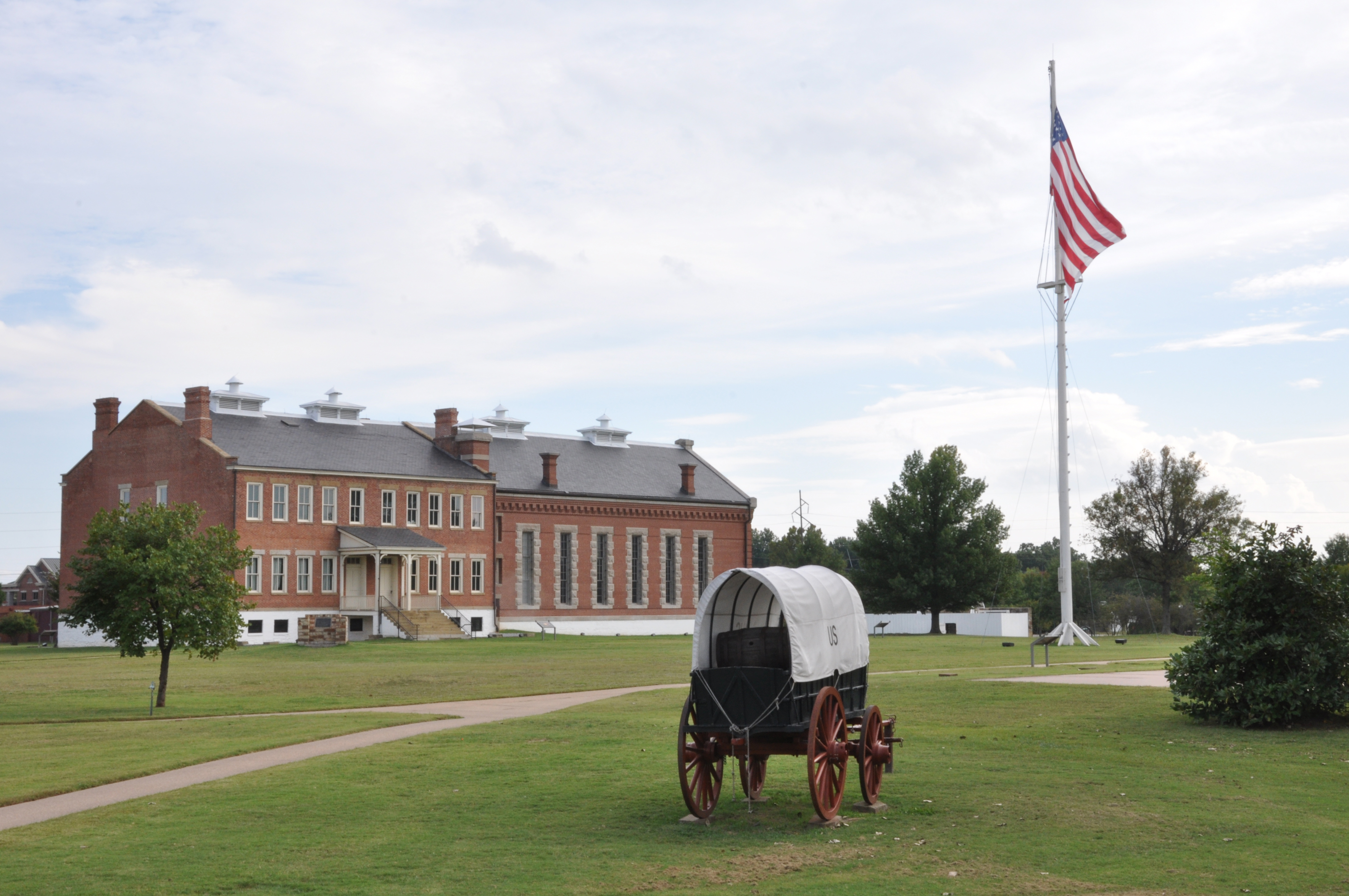
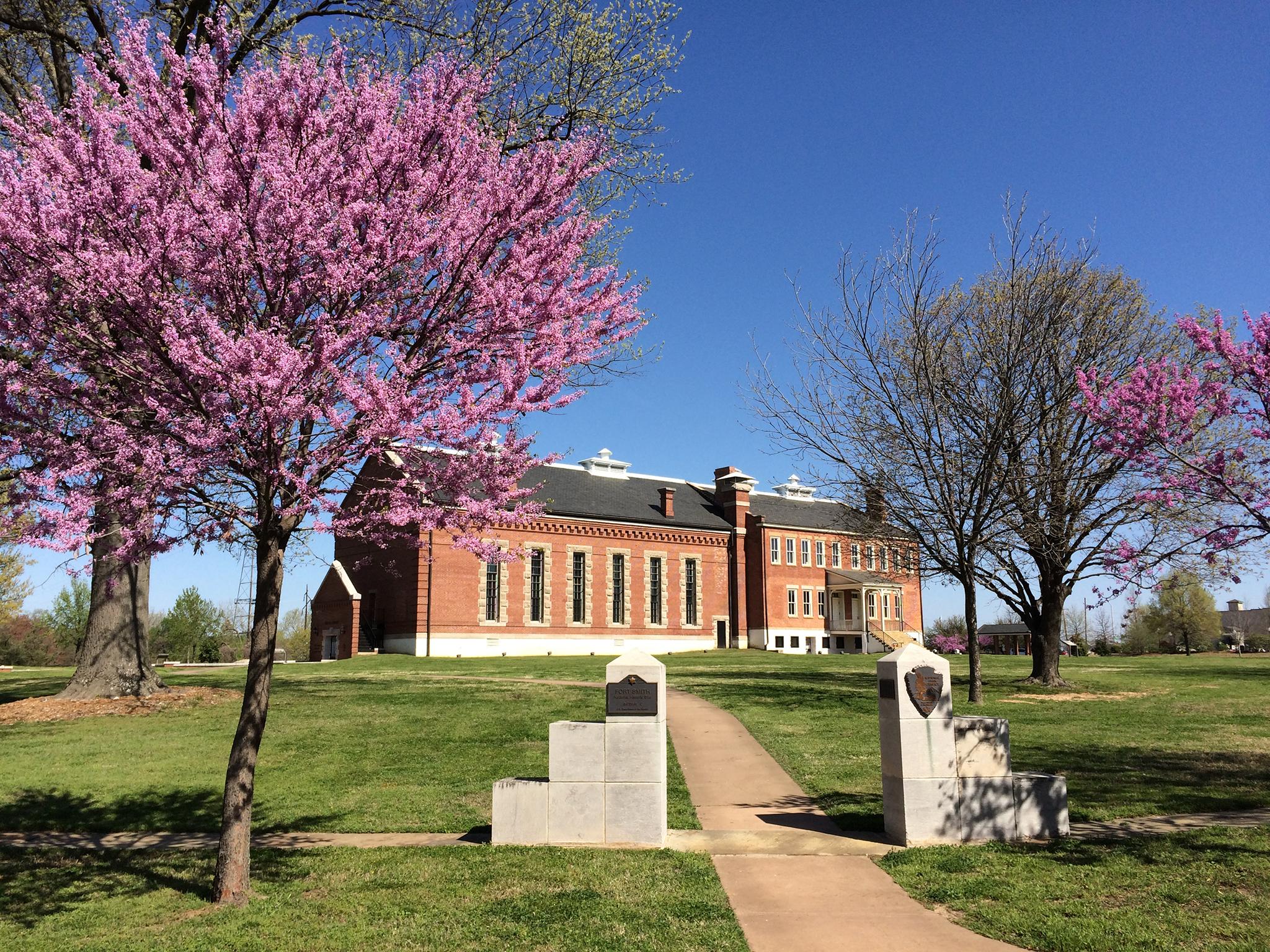
Explore life on the edge of frontier and Indian Territory through the stories of soldiers, the Trail of Tears, scandals, outlaws, and lawmen who pursued them. From the establishment of the first Fort Smith on December 25, 1817, to the final days of Judge Isaac C. Parker's jurisdiction over Indian Territory in 1896, Fort Smith National Historic Site preserves almost 80 years of history.
From the National Park Service
History
The designation history for this site (every law, proclamation and order, and the administration behind each) is being researched and checked by the Library’s historians.
What to see and do
Activities
- Guided Tours
- Self-Guided Tours - Walking
- Junior Ranger Program
- Park Film
- Museum Exhibits
- Shopping
- Bookstore and Park Store
Plan your visit
Hours
Park Grounds and Trails: The Gallows and Commissary are open during Visitor Center hours, which may vary by season. Please check Visitor Center Hours for more information. Park grounds are open daily from 30 minutes before sunrise until 11:00 pm.
Getting there
From Interstate 40 Eastbound: Exit at Roland and drive six miles on highway 64 to downtown Fort Smith. From Interstate 40 Westbound & from North Interstate 540 & Fayetteville: Take Interstate 40 Westbound to Interstate 540 south. Exit west on Rogers Ave and continue towards downtown Fort Smith. In the downtown area: On Rogers or Garrison Ave, turn south at 4th St. Turn right onto Garland Ave. Entrance to the main parking lot is at the end of the next block. Oversize parking is available.
Visitor centers
- Visitor Center, Gallows, and Commissary
Weather
Fort Smith weather includes four distinct, yet temperate seasons. Spring and fall are usually mild while late summer is hot and humid. During winter months, temperatures occasionally dip into the teens. Forecast often changes dramatically due to surrounding weather influences. Arkansas's central location allows weather systems from all directions to influence its climate. The area is prone to flash flooding and river flooding in rainy seasons.
Phone: 4797833961
Whose lands these are
These lands are the ancestral and present-day homelands of Native nations. A section on whose lands these are is being prepared with tribal review. In the meantime, Native Land Digital offers a starting point.
Photos
Pair it with
- Sequoyah National Wildlife Refuge FWS · 34 miles
- Black Mountain National Game Refuge USFS · 36 miles
- Pigeon Creek National Game Refuge USFS · 45 miles
- Indian Nations National Scenic And Wildlife Area USFS · 46 miles
- Winding Stair Mountain National Recreation Area USFS · 48 miles
- Logan Cave National Wildlife Refuge FWS · 56 miles