Historic Site and Historical Park · NPS · WY
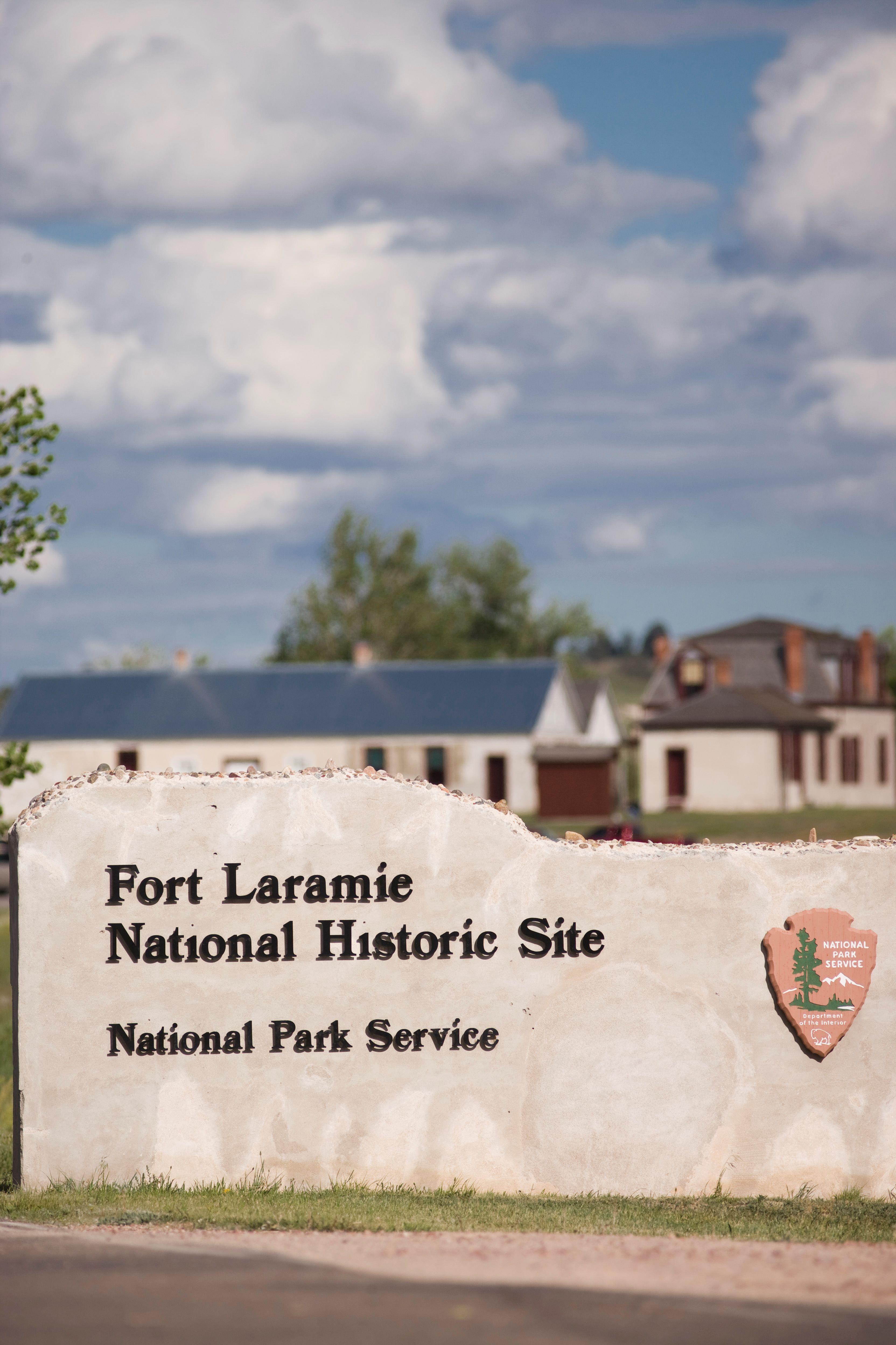
Fort Laramie National Historic Site
Photo: Chase Swift Photography/Chase Swift, Old Bedlam
Alerts and conditions
Overview
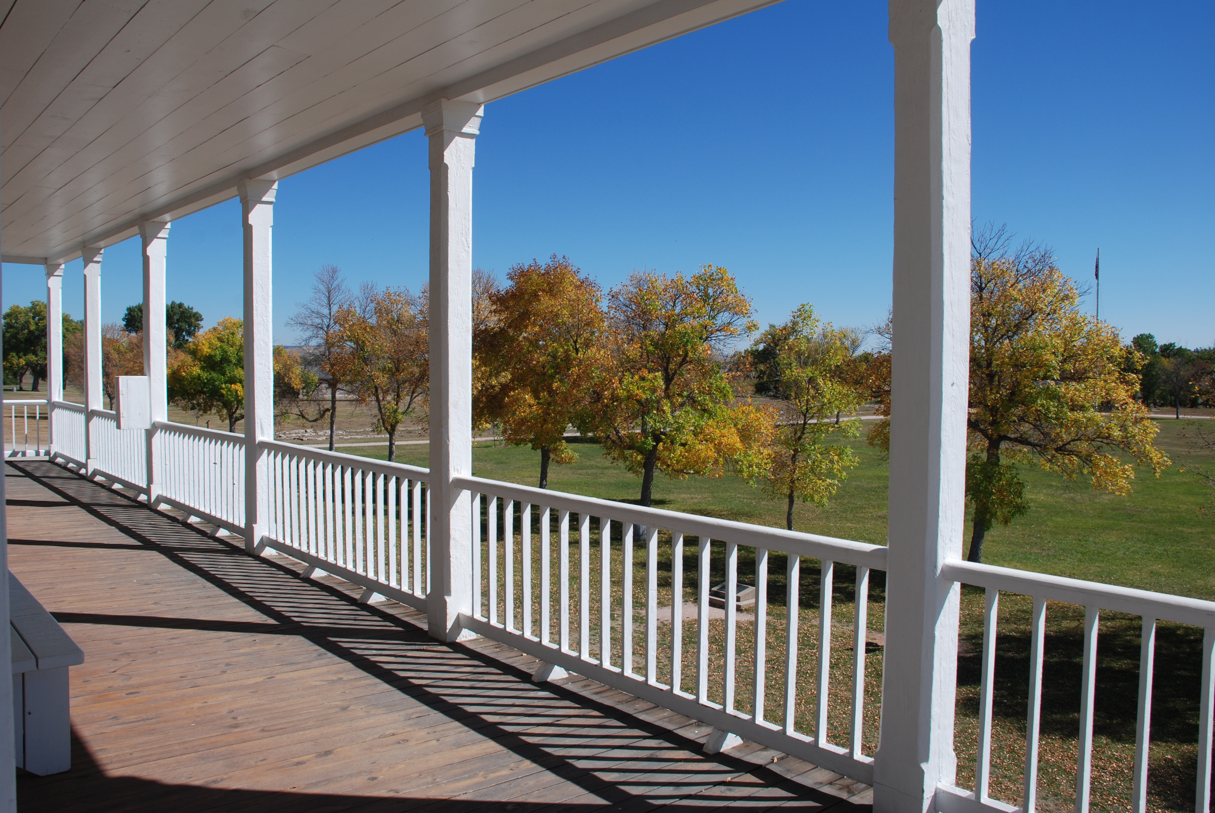
Originally established as a private fur trading fort in 1834, Fort Laramie evolved into the largest and best-known military post on the Northern Plains before its abandonment in 1890. Nicknamed the “Grand Old Post,” Fort Laramie witnessed the entire sweeping saga of America’s western expansion and Indian resistance to encroachment on their territories.
From the National Park Service
History
The designation history for this site (every law, proclamation and order, and the administration behind each) is being researched and checked by the Library’s historians.
What to see and do
Activities
- Astronomy
- Stargazing
- Fishing
- Freshwater Fishing
- Guided Tours
- Self-Guided Tours - Walking
- Self-Guided Tours - Auto
- Living History
- Historic Weapons Demonstration
- Junior Ranger Program
- Museum Exhibits
- Shopping
- Bookstore and Park Store
- Gift Shop and Souvenirs
Plan your visit
Hours
Park grounds and historic buildings: The park grounds are open from dawn until dusk every day of the year. Some historic buildings may be closed in winter. Post trader store and cavalry barracks are open daily - weather permitting.
Getting there
The park is located in southeast Wyoming approximately 125 miles southeast of Casper, 100 miles north of Cheyenne and 55 miles west of Scottsbluff, Nebraska. From Interstate 25, take exit 92 to US Highway 26, proceed east to the town of Fort Laramie; turn right on State Route 160 and travel three miles to the park entrance. From westbound US 26, proceed west from Scottsbluff, Nebraska to the town of Fort Laramie; turn left on State Route 160 and continue three miles to the park entrance.
Visitor centers
Weather
Fort Laramie summer days can be quite hot (over 100F/37C), average highs are in the 80s and 90s (30-35C) with cool nights and low humidity. Winters are often bitterly cold and windy with subzero wind chills. The region is semi-arid with a distinct winter dry season. About 70% of annual precipitation falls as thunderstorms during the spring and early summer. Breezy days are common year-round and peak in the winter when wind speeds can approach hurricane-strength.
Phone: 3078372221
Whose lands these are
These lands are the ancestral and present-day homelands of Native nations. A section on whose lands these are is being prepared with tribal review. In the meantime, Native Land Digital offers a starting point.
Photos


Pair it with
- Agate Fossil Beds National Monument NPS · 43 miles
- Scotts Bluff National Monument NPS · 50 miles
- North Platte National Wildlife Refuge FWS · 50 miles
- Oglala National Grassland USFS · 68 miles
- Pine Ridge National Recreation Area USFS · 77 miles
- Nebraska National Forest USFS · 78 miles