Historic Site and Historical Park · NPS · TX, LA
El Camino Real de los Tejas National Historic Trail
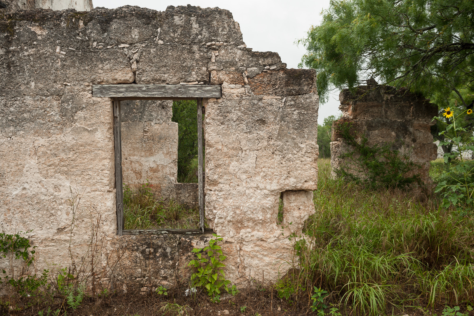
Photo: Christopher Talbot, Mission San Bernardo ruins, Guerrero, Coahuila, Mexico
Alerts and conditions
Overview
Explore a diverse array of histories contained within El Camino Real de los Tejas’ 150-year life, including the Spanish struggle to missionize American Indian nations, the growth of cattle ranching in the Mexican period, and the movement for Texan independence and statehood.
From the National Park Service
History
The designation history for this site (every law, proclamation and order, and the administration behind each) is being researched and checked by the Library’s historians.
What to see and do
Activities
- Auto and ATV
- Scenic Driving
- Junior Ranger Program
- Museum Exhibits
Plan your visit
Hours
El Camino Real de los Tejas National Historic Trail: El Camino Real de los Tejas National Historic Trail is not a clearly marked hiking trail. Instead it is a route that passes through communities, urban areas, public lands, and Wilderness. The route travels across a variety of land ownerships and management, including private land. Each location varies as to the hours of operations and access. Please contact individual trail sites before your visit for more information.
Getting there
You can visit many sites of the El Camino Real de los Tejas National Historic Trail over the 2,580-mile historic route that crosses 2 states, and travels into Mexico, to Mexico City.
Weather
Due to the length of El Camino de los Tejas National Historic Trail, be sure to consult local weather sources for the region you'll be visiting. Check out the forecast with the National Weather Service and search for the area you'd like to visit.
Phone: N/A
Whose lands these are
These lands are the ancestral and present-day homelands of Native nations. A section on whose lands these are is being prepared with tribal review. In the meantime, Native Land Digital offers a starting point.
Photos
Pair it with
- Balcones Canyonlands National Wildlife Refuge FWS · 56 miles
- Attwater Prairie Chicken National Wildlife Refuge FWS · 72 miles
- Lyndon B Johnson National Historical Park NPS · 76 miles
- San Antonio Missions National Historical Park NPS · 84 miles
- Waco Mammoth National Monument NPS · 105 miles
- Big Boggy National Wildlife Refuge FWS · 114 miles