National Recreation Area · NPS · CO
Curecanti National Recreation Area
Photo: NPS/Kat Connelly, Blue Mesa Reservoir
Alerts and conditions
Caution Toxic Algae May Be Present In Blue Mesa Reservoir
Cyanotoxin levels in the Blue Mesa Reservoir are now below state thresholds. Toxins are still present at low levels, therefore keep kids and pets out of the water. Avoid all contact with algae. If exposed, shower immediately.
Overview
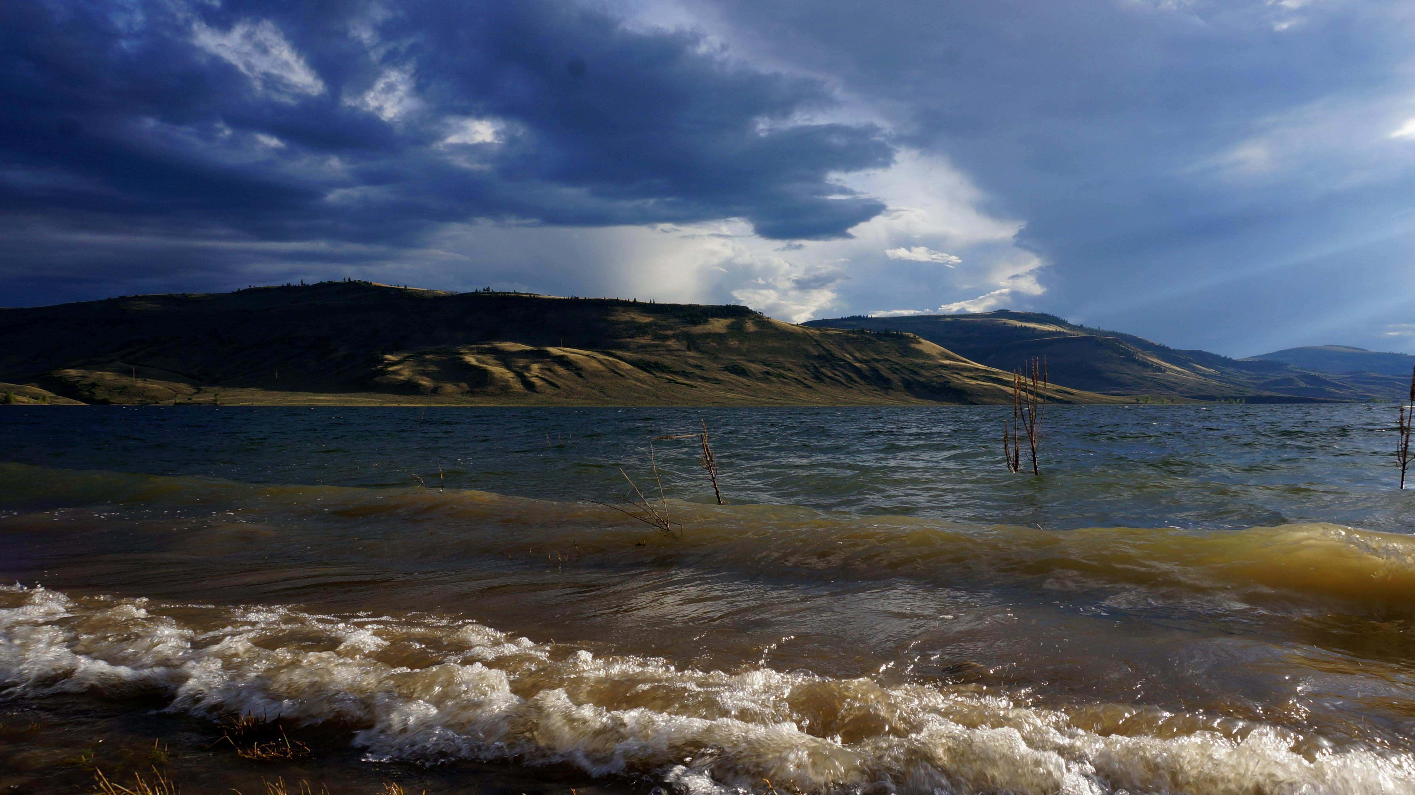
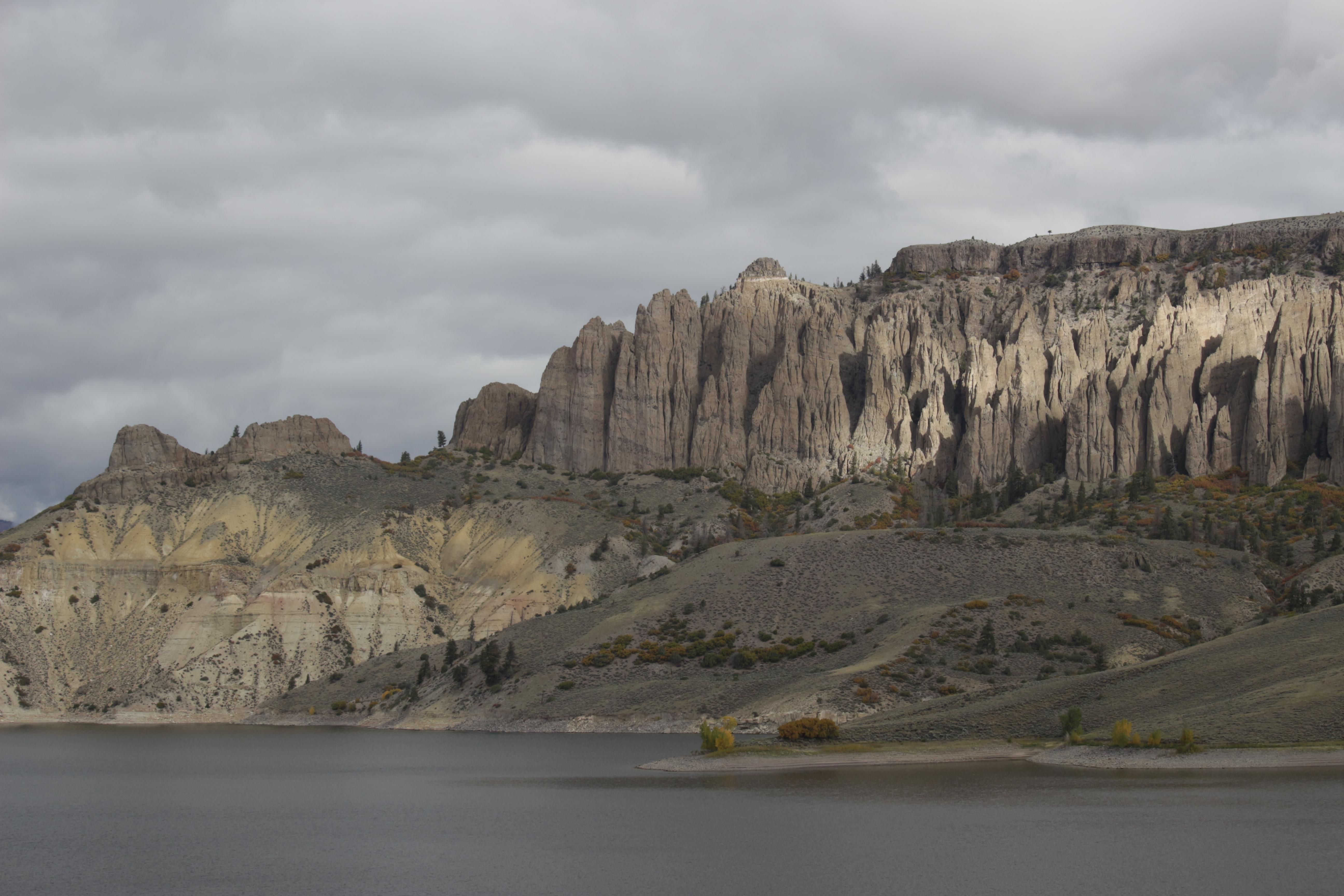
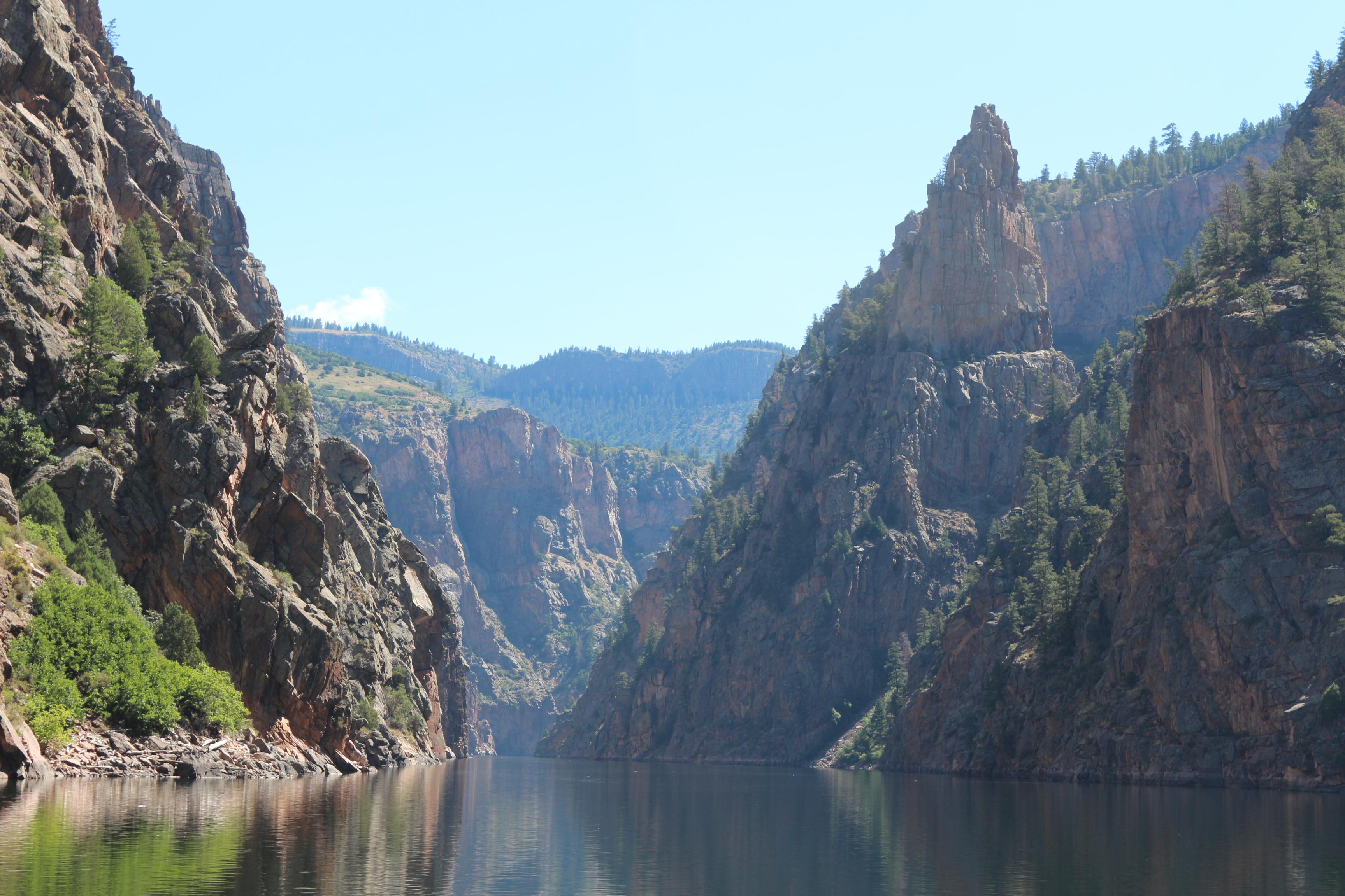
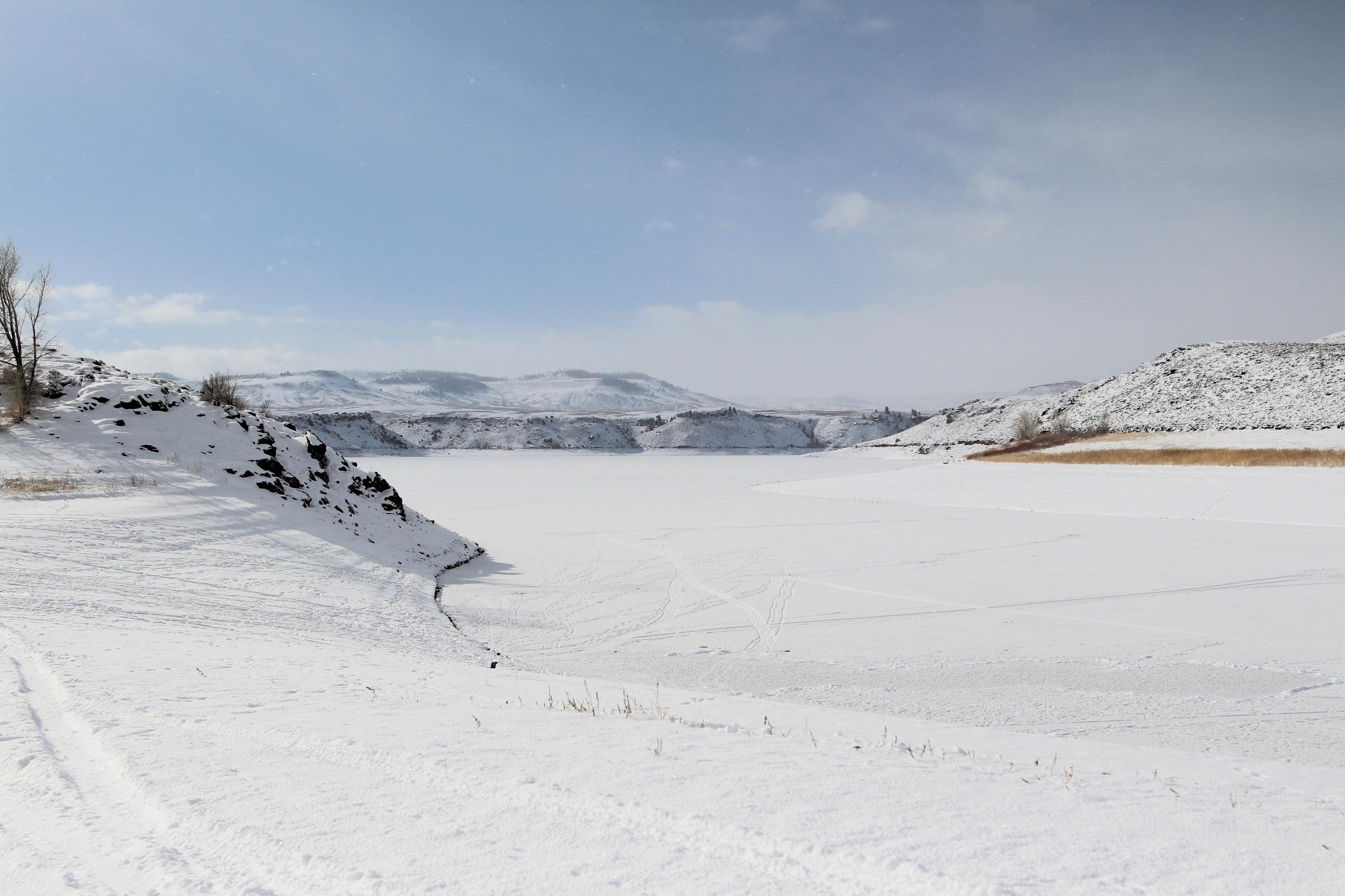
Three reservoirs and surrounding lands make up this recreation area in western Colorado. It is a landscape of tradeoffs; natural and human made features exist together. Geologic wonders are abundant from the sagebrush shrublands to forests. Visitors can experience the park year-round on both land and water.
From the National Park Service
History
The designation history for this site (every law, proclamation and order, and the administration behind each) is being researched and checked by the Library’s historians.
What to see and do
Activities
- Astronomy
- Stargazing
- Boating
- Motorized Boating
- Sailing
- Jet Skiing
- Camping
- Backcountry Camping
- Canoe or Kayak Camping
- Car or Front Country Camping
- Horse Camping (see also Horse/Stock Use)
- Group Camping
- RV Camping
- Climbing
- Rock Climbing
- Fishing
- Freshwater Fishing
- Fly Fishing
- Hiking
- Front-Country Hiking
- Horse Trekking
- Horse Camping (see also camping)
- Horseback Riding
- Hunting and Gathering
- Hunting
- Ice Skating
- Paddling
- Canoeing
- Canoe or Kayak Camping
- Kayaking
- Stand Up Paddleboarding
- Junior Ranger Program
- Skiing
- Cross-Country Skiing
- Snowmobiling
- Snowshoeing
- Swimming
- Freshwater Swimming
- Water Skiing
- Wildlife Watching
- Birdwatching
- Shopping
- Bookstore and Park Store
- Gift Shop and Souvenirs
Plan your visit
Hours
Curecanti National Recreation Area: Open 24 hours per day, 365 days a year.
Getting there
Curecanti is located between the Colorado towns of Gunnison (to the east), Montrose (to the west), and Lake City (to the south). The West Elk Mountain Wilderness area borders Curecanti to the north. U.S. Highway 50 runs the length of Curecanti east to west.
Visitor centers
- Elk Creek Visitor Center
Campgrounds
- Elk Creek Campground (155 sites) — reserve
- Lake Fork Campground (90 sites) — reserve
- Stevens Creek Campground (53 sites) — reserve
- Cimarron Campground (21 sites)
- Ponderosa Campground (28 sites)
- Dry Gulch Campground (9 sites)
- East Portal Campground (15 sites) — reserve
- East Elk Creek Group Campground (1 sites) — reserve
- Red Creek Campground (1 sites) — reserve
- Gateview Campground (6 sites)
Weather
During spring and fall, temperatures range from 44°F to 70°F (7°C to 34°C) with overnight lows from the teens to about freezing (-9°C to 2°C). In summer, temperatures are usually in the 70°F to 80°F (21°C to 27°C). Nights are usually 40°F to 50°F (4°C to 10°C). The wind often picks up at 12 pm and continues through the afternoon. Thunderstorms are common. In winter, temperatures usually reach 20°F to 30°F (-7°C to -1°C) and lows often dip below zero (-18°C).
Phone: 9706412337
Whose lands these are
These lands are the ancestral and present-day homelands of Native nations. A section on whose lands these are is being prepared with tribal review. In the meantime, Native Land Digital offers a starting point.
Photos
Pair it with
- Black Canyon Of The Gunnison National Park NPS · 22 miles
- Gunnison National Forest USFS · 24 miles
- Gunnison Gorge National Conservation Area BLM · 31 miles
- Grand Mesa National Forest USFS · 53 miles
- Uncompahgre National Forest USFS · 58 miles
- Dominguez/Escalante National Conservation Area BLM · 60 miles