National Preserve · NPS · ID
City Of Rocks National Reserve
Photo: NPS Photo, City of Rocks Granite
Alerts and conditions
Overview
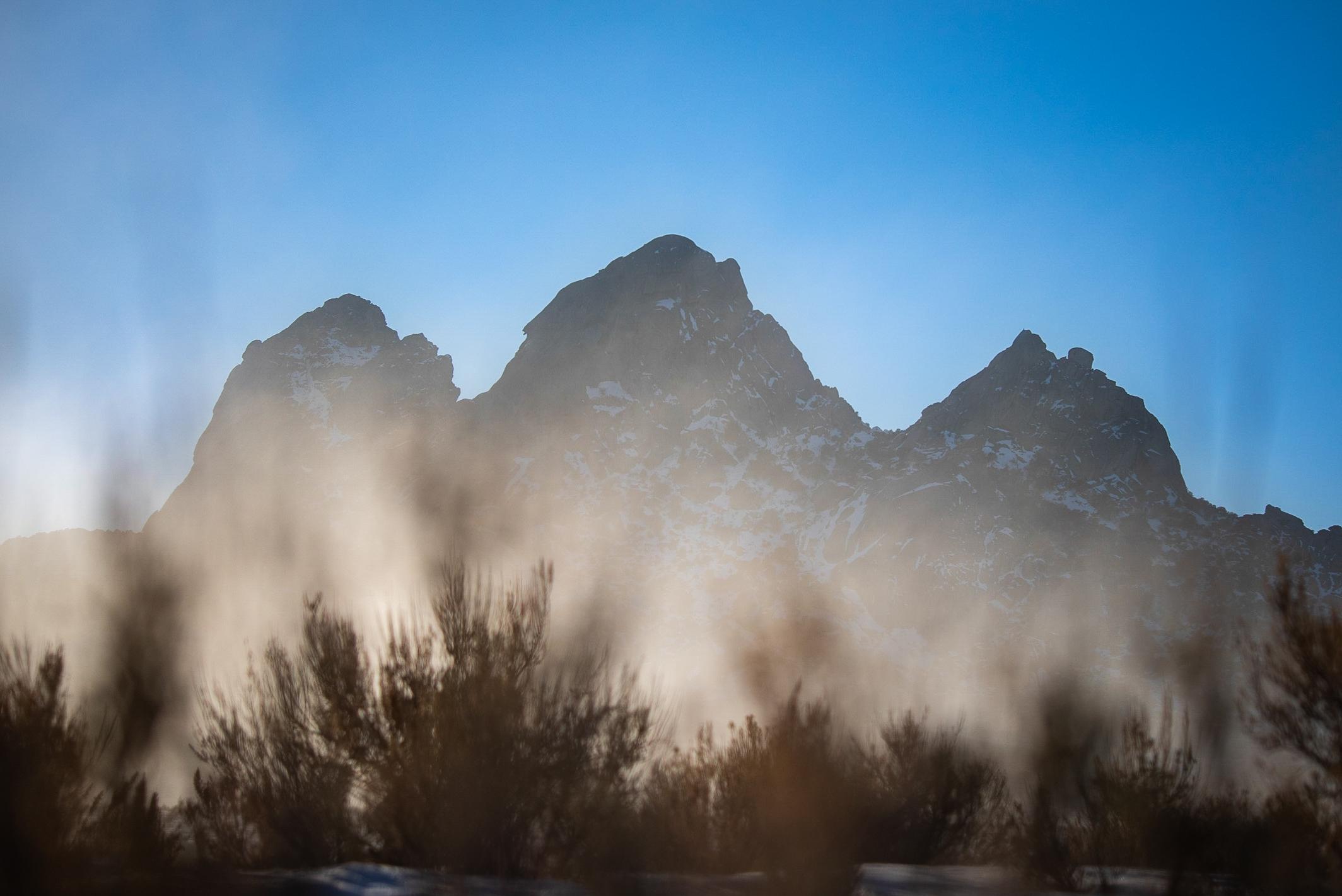
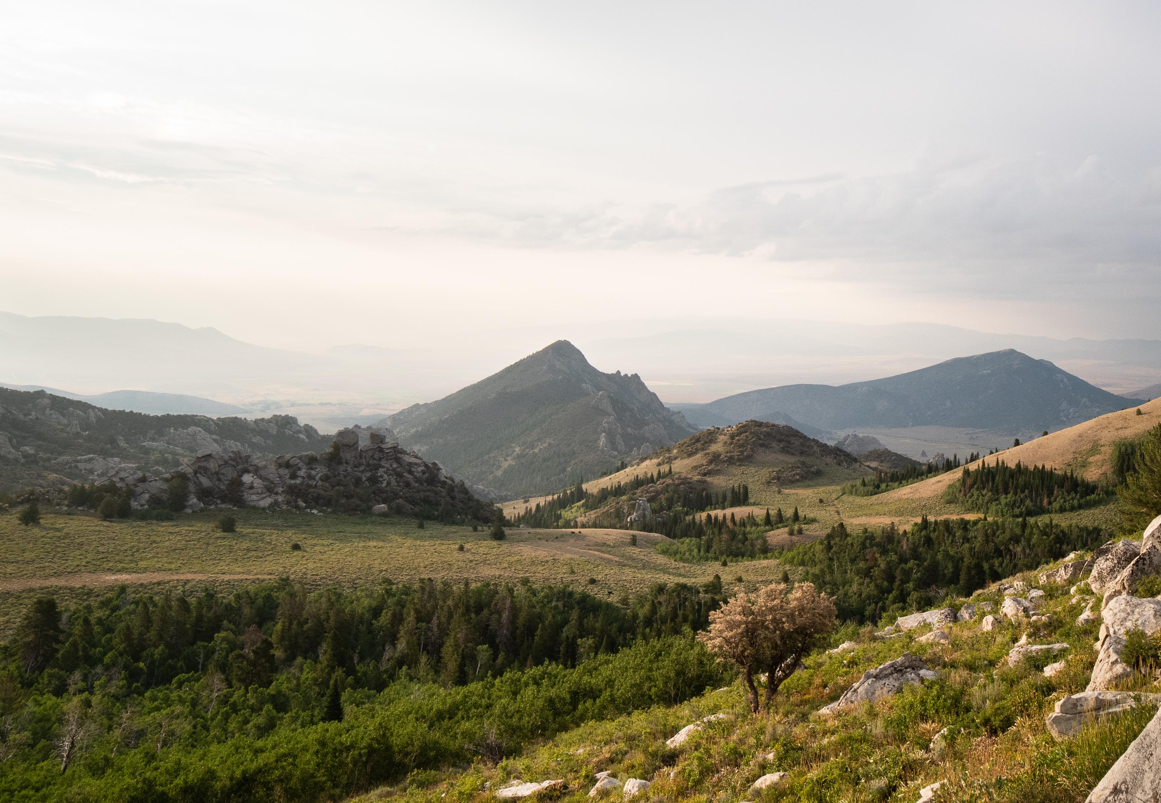
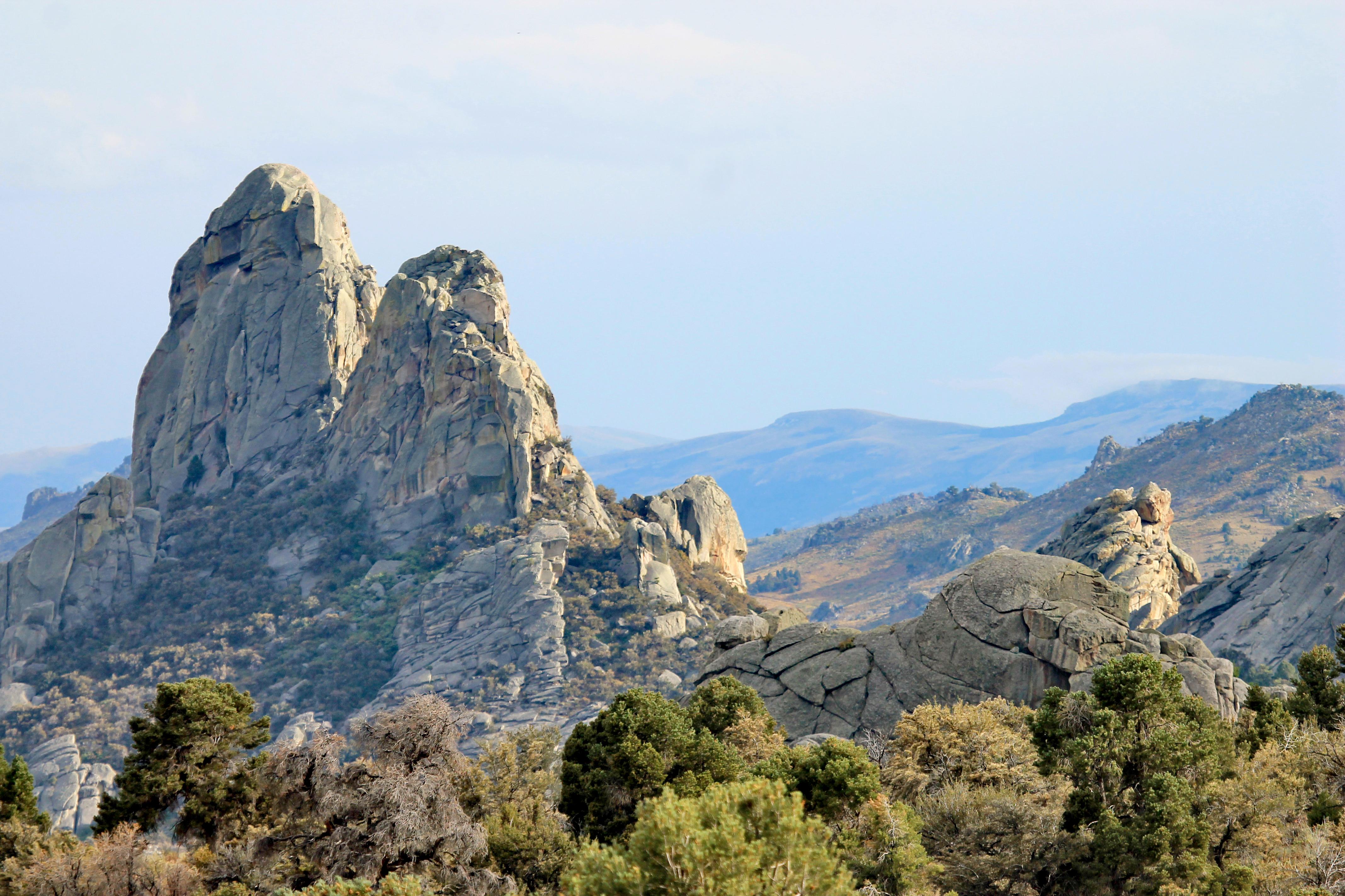
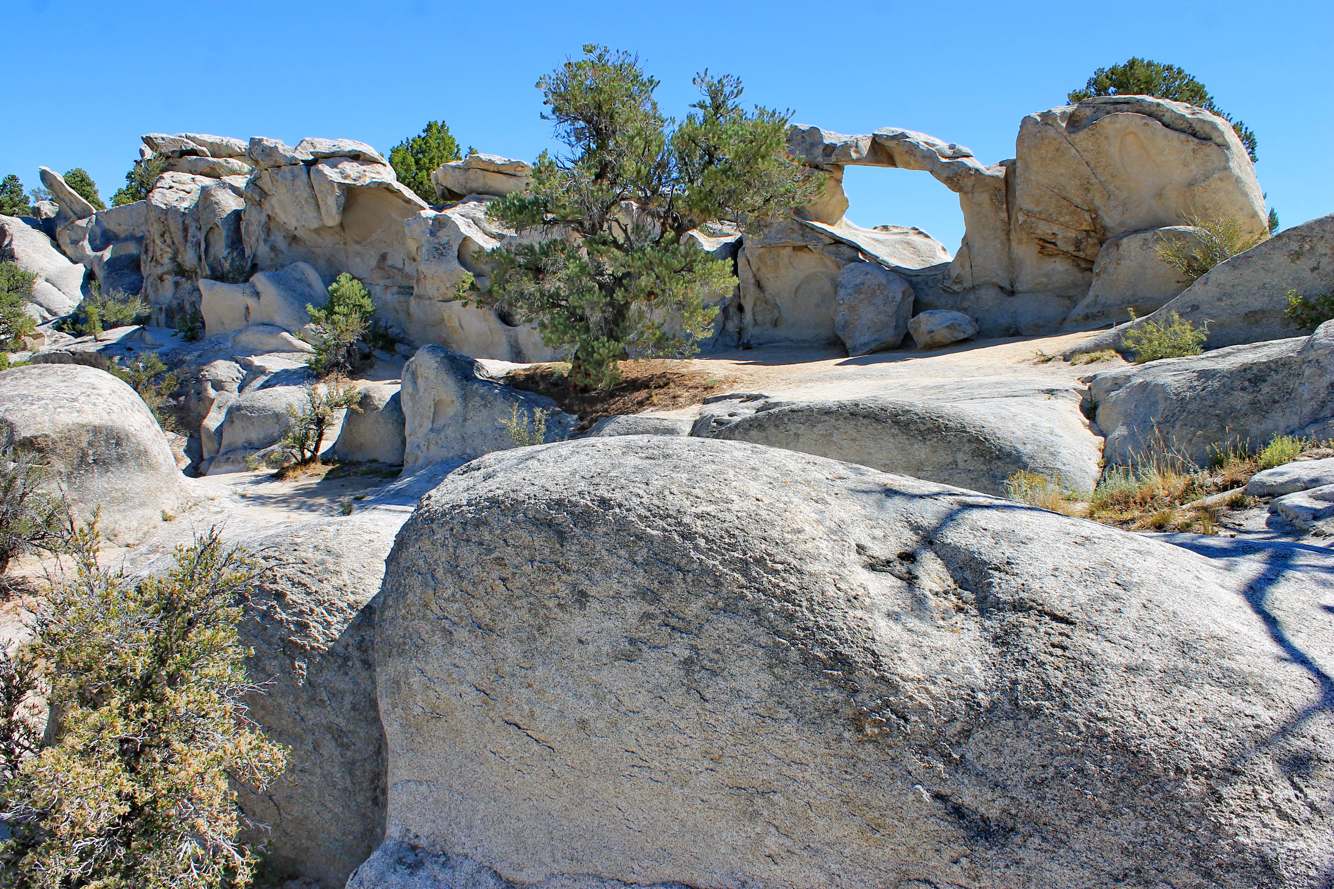
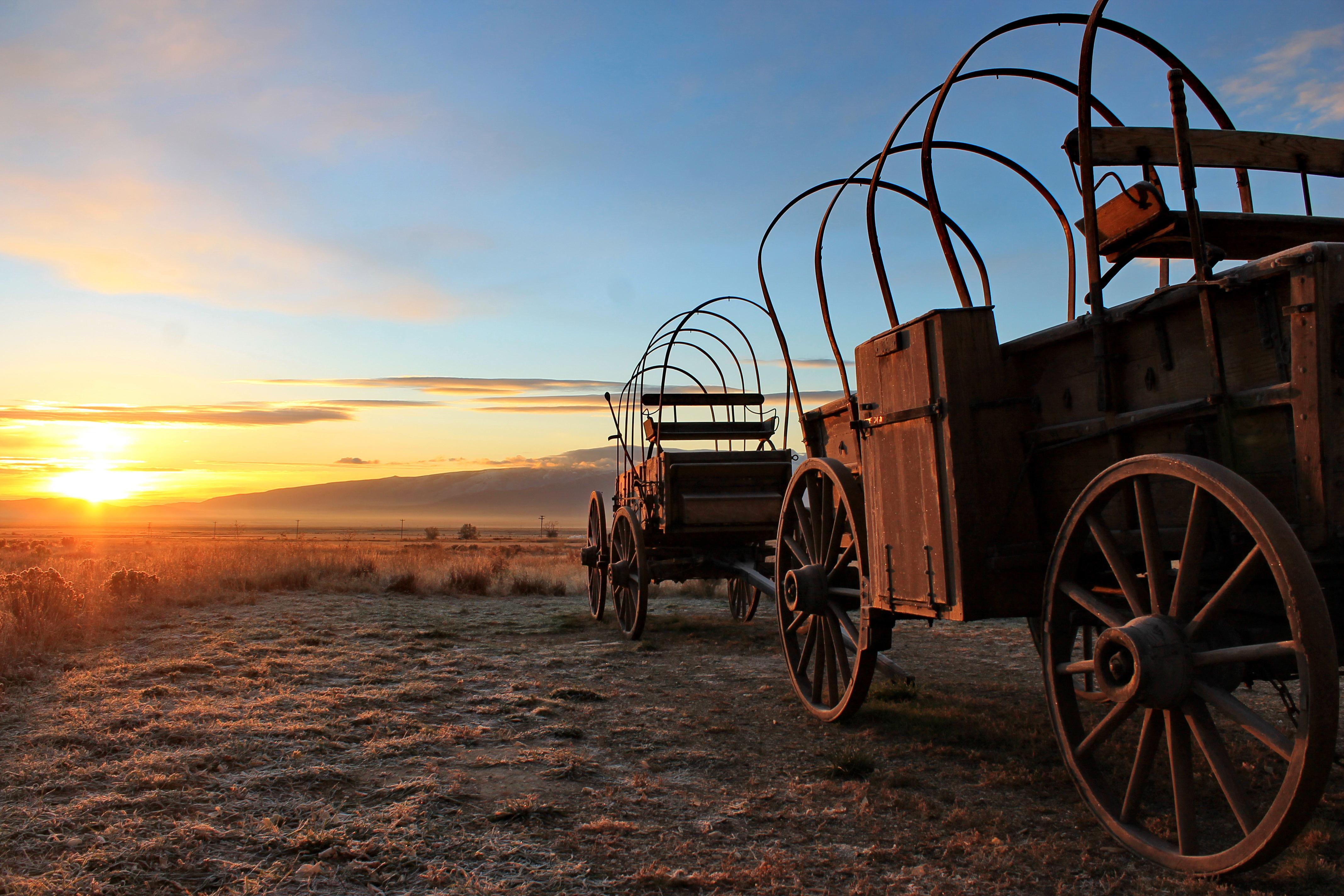
Described by California Trail emigrants as “a city of tall spires,” “steeple rocks,” and “the silent city,” this awe-inspiring landscape continues to captivate. Today, it beckons rock climbers, hikers, campers, hunters, and adventurers with its dramatic scenery, fascinating geology, and echoes of the Old West. The Silent City is ready for you to explore.
From the National Park Service
History
The designation history for this site (every law, proclamation and order, and the administration behind each) is being researched and checked by the Library’s historians.
What to see and do
Activities
- Auto and ATV
- Scenic Driving
- Astronomy
- Stargazing
- Biking
- Mountain Biking
- Camping
- Backcountry Camping
- Car or Front Country Camping
- Horse Camping (see also Horse/Stock Use)
- Group Camping
- RV Camping
- Climbing
- Rock Climbing
- Ice Climbing
- Fishing
- Food
- Picnicking
- Guided Tours
- Self-Guided Tours - Walking
- Self-Guided Tours - Auto
- Hiking
- Horse Trekking
- Horse Camping (see also camping)
- Horseback Riding
- Hunting and Gathering
- Hunting
- Ice Skating
- Living History
- First Person Interpretation
- Junior Ranger Program
- Skiing
- Cross-Country Skiing
- Snow Play
- Snowmobiling
- Snowshoeing
- Wildlife Watching
- Birdwatching
- Shopping
- Bookstore and Park Store
- Gift Shop and Souvenirs
Plan your visit
Hours
City of Rocks National Reserve: The National Reserve is open 365 days a year, 7 days a week, 24hrs/day. Many roads are not maintained during the winter and may become impassable from late November through May. For current conditions visitors are encouraged to check with the Visitor Center or watch for alerts on our website and social media.
Getting there
From Boise: take I-84 East to exit 216 (Declo); go south on Highway 77 to Conner Creek Junction; turn right (west) on Highway 77 Spur to Almo. The visitor center and the park entrance are south of the post office and businesses. From Pocatello: take I-86 West to I-84 West to exit 216 and proceed as above. From Salt Lake City: take I-84 west to exit 245 (Sublette), turn left and go west to Malta. From Malta take Highway 77. Take Highway 77 Spur to Almo.
Visitor centers
Campgrounds
Weather
City of Rocks is located in south-central Idaho within the northern edge of the Basin and Range geologic province. Outdoor recreation can be pleasant from April through October. Summers are generally dry with 10 to 15 inches of precipitation in winter and spring. Summer temperatures range widely with night time lows occasionally approaching freezing and midday highs nearing 100° F; however, the typical range of low and high temperature is 45-85. Thunderstorms are common in the summer months (June - August)
Phone: 208-824-5901
Whose lands these are
These lands are the ancestral and present-day homelands of Native nations. A section on whose lands these are is being prepared with tribal review. In the meantime, Native Land Digital offers a starting point.
Photos

Pair it with
- Minidoka National Wildlife Refuge FWS · 45 miles
- Curlew National Grassland USFS · 50 miles
- Minidoka National Historic Site NPS · 50 miles
- Golden Spike National Historical Park NPS · 68 miles
- Craters Of The Moon National Monument & Preserve NPS · 79 miles
- Hagerman Fossil Beds National Monument NPS · 80 miles