National Recreation Area · NPS · OK · Roosevelt connection
Chickasaw National Recreation Area
Photo: NPS Photo, Lincoln Bridge
Alerts and conditions
Park Closure Paving Project Final Phase-Road Closures and Delays November 9-November 13
Crews will be applying striping to roads and parking lots across the Platt District between Monday, November 9 and Friday, November 13. Expect flaggers and road closures on Perimeter Roads and at Veterans Lake. Some park areas will be closed at times to complete the work.
Overview
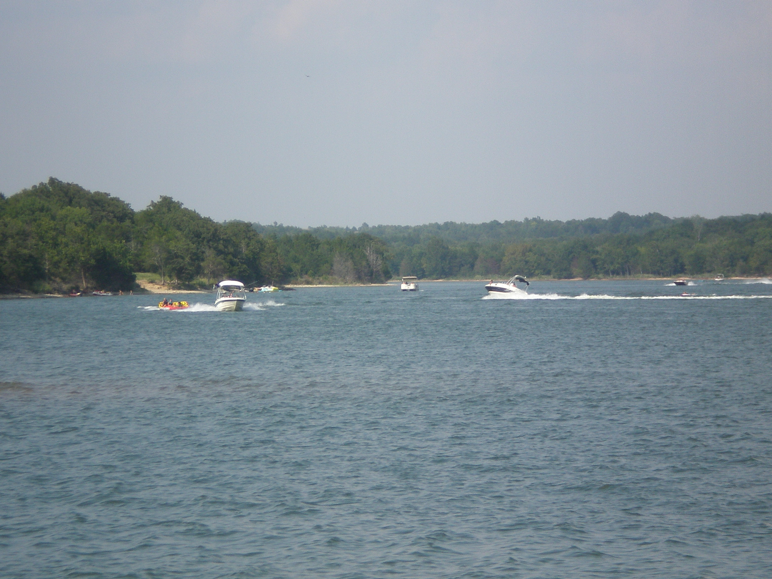
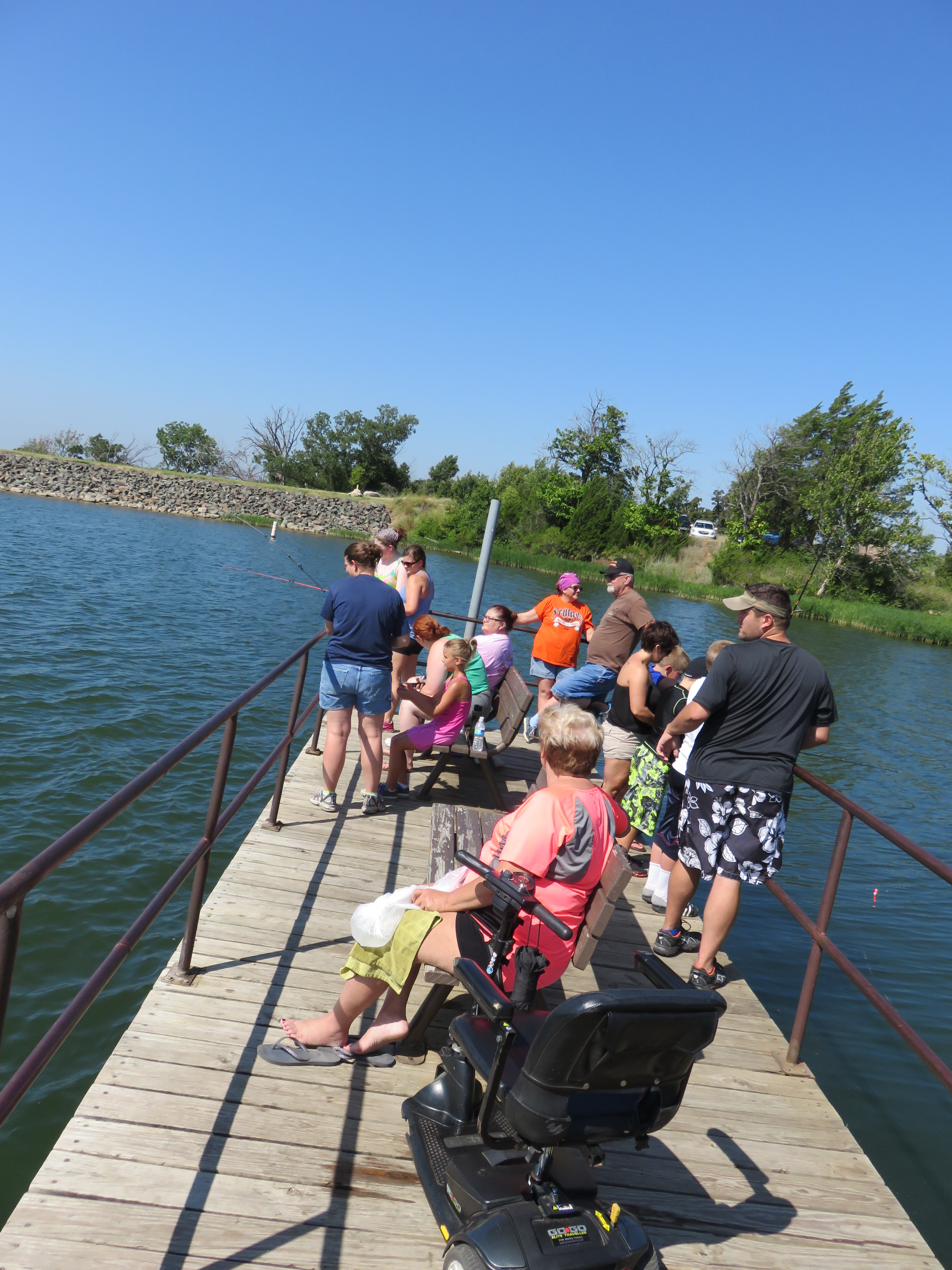
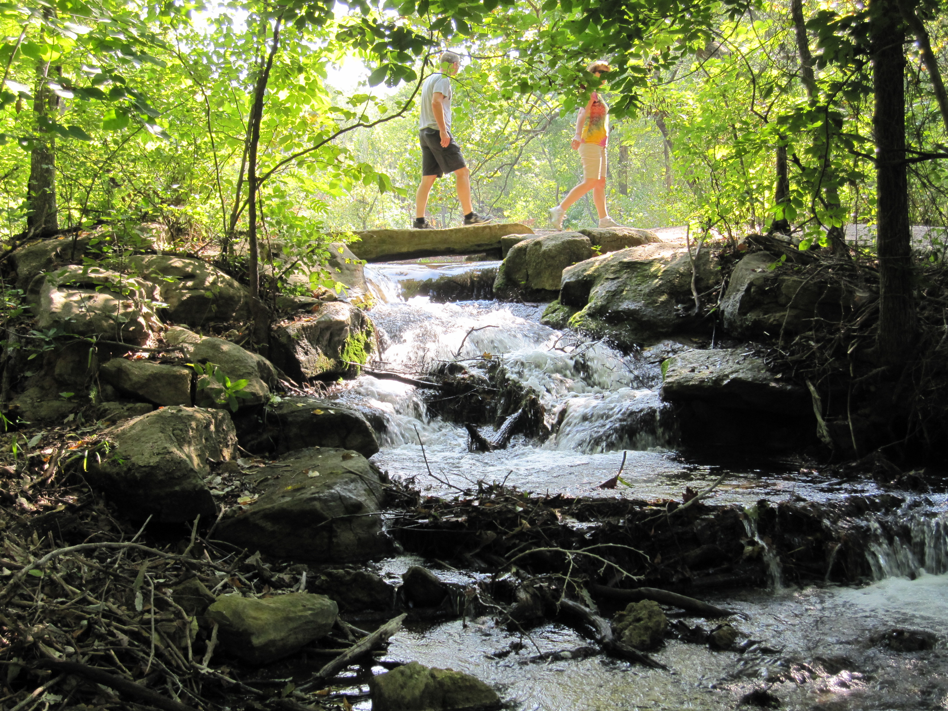
Springs, streams, lakes - whatever its form, water is the attraction at Chickasaw National Recreation Area.
From the National Park Service
History
The designation history for this site (every law, proclamation and order, and the administration behind each) is being researched and checked by the Library’s historians.
The Roosevelt connection
Protected by T.R.
- June 29, 1906: as President, Theodore Roosevelt signed the act creating Platt National Park. Mineral and freshwater springs at Sulphur. Roosevelt signed the 1902 act creating the Sulphur Springs Reservation and the 1906 resolution renaming it Platt National Park. Since 1976 it has been part of Chickasaw National Recreation Area.
craterlakeinstitute.com · nps.gov · Roosevelt’s Public Lands
What to see and do
Activities
- Astronomy
- Stargazing
- Biking
- Mountain Biking
- Road Biking
- Boating
- Motorized Boating
- Jet Skiing
- Camping
- Car or Front Country Camping
- Group Camping
- RV Camping
- Fishing
- Food
- Picnicking
- Hands-On
- Volunteer Vacation
- Hiking
- Front-Country Hiking
- Horse Trekking
- Horseback Riding
- Hunting and Gathering
- Gathering and Foraging
- Hunting
- Paddling
- Canoeing
- Kayaking
- Stand Up Paddleboarding
- Junior Ranger Program
- Swimming
- Freshwater Swimming
- Water Skiing
- Wildlife Watching
- Birdwatching
- Shopping
- Bookstore and Park Store
Plan your visit
Hours
Outdoor Areas: Many outdoor areas are available 24 hours a day. Please visit the current conditions page for details.
Getting there
From US I-35 drive through the towns of Davis and towards the town of Sulphur. There are a variety of destinations in the park to choose from.
Visitor centers
Campgrounds
- Rock Creek Campground (100 sites) — reserve
- Central Campground — reserve
- Buckhorn Campground Loop A (19 sites)
- Cold Springs Campground (65 sites) — reserve
- The Point Campground (55 sites) — reserve
- Guy Sandy Campground (40 sites)
- Buckhorn Campground Loop B (25 sites)
- Buckhorn Campground Loop C (41 sites) — reserve
- Buckhorn Campground Loop D (48 sites)
Weather
Summers are hot and humid. Temperatures above 100ºF occur, and humidity often exceeds 50%. Winters are mild and prolonged freezes are rare. Thunderstorms are common April through July.
Phone: 5806227234
Whose lands these are
These lands are the ancestral and present-day homelands of Native nations. A section on whose lands these are is being prepared with tribal review. In the meantime, Native Land Digital offers a starting point.
Photos
Pair it with
- Tishomingo National Wildlife Refuge FWS · 29 miles
- Hagerman National Wildlife Refuge FWS · 52 miles
- Oklahoma City National Memorial NPS · 76 miles
- Caddo National Grassland USFS · 78 miles
- Lyndon B. Johnson National Grassland USFS · 85 miles
- Deep Fork National Wildlife Refuge FWS · 97 miles