Historic Site and Historical Park · NPS · DC, MD, WV
Chesapeake & Ohio Canal National Historical Park
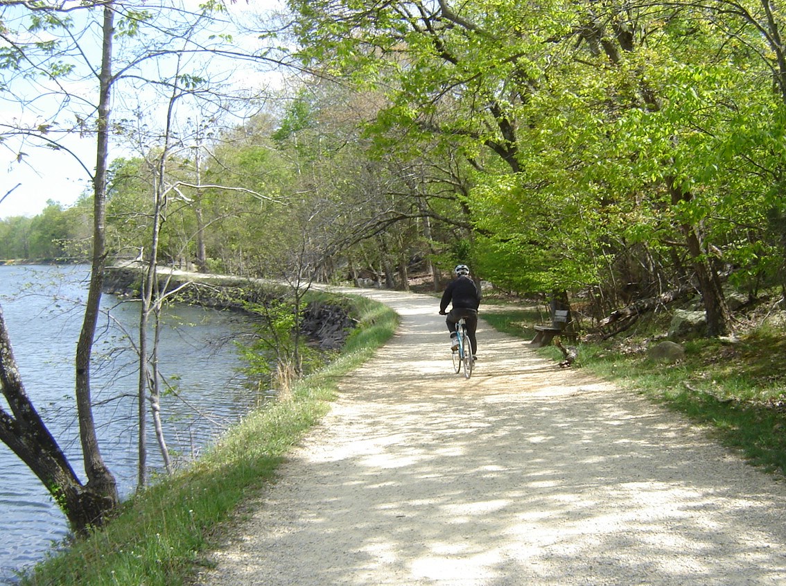
Photo: NPS, Towpath along Lush Canal
Alerts and conditions
Park Closure Closures: Detours; Towpath; Points of Interest
Multiple items are closed due to hazardous conditions or maintenance. See below for more details.
Caution DC Water Sewer Overflow
DC Water is managing a sanitary sewer overflow from the Potomac Interceptor near Lock 10. Anyone with questions or in need of support can reach out to DC Water’s 24-Hour Command Center at (202) 612-3400 or visit https://www.dcwater.com/about-dc-water/media/potomac-interceptor-collapse.
Information Equestrian Traffic Temporarily Prohibited - Mile 124.5 to 155
Horses are prohibited between Little Tonoloway (mile 124.5) and Paw Paw (mile 155) due to recent and ongoing towpath resurfacing. See more for details.
Caution Hiking in Gold Mine Tract
Visitors are restricted to the designated trails within the Gold Mine Tract in the Great Falls area. This location is generally defined as that area bordered by MacArthur Boulevard and Berma Road and depicted on the Great Falls Maryland Hiking Map.
Overview
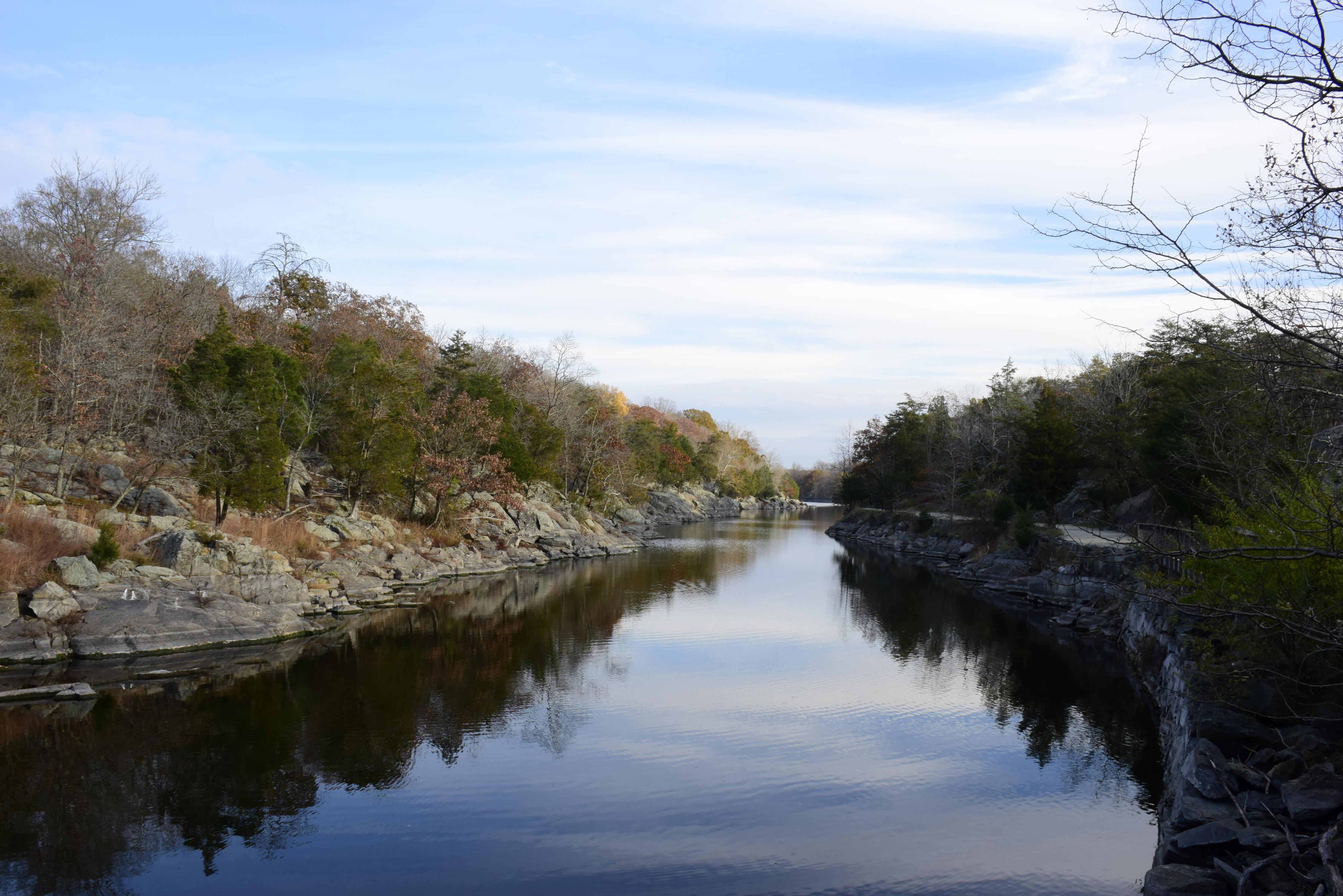
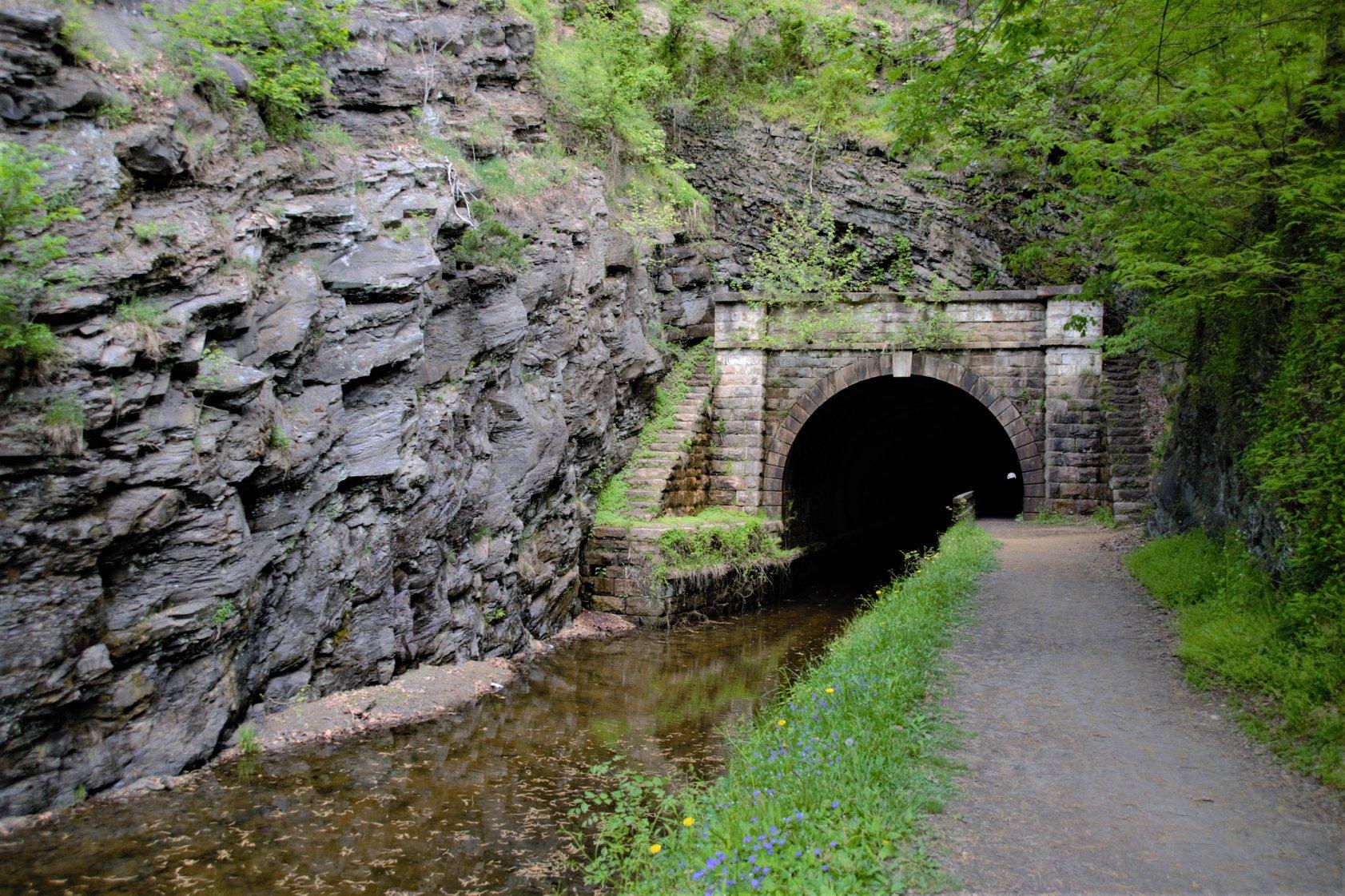
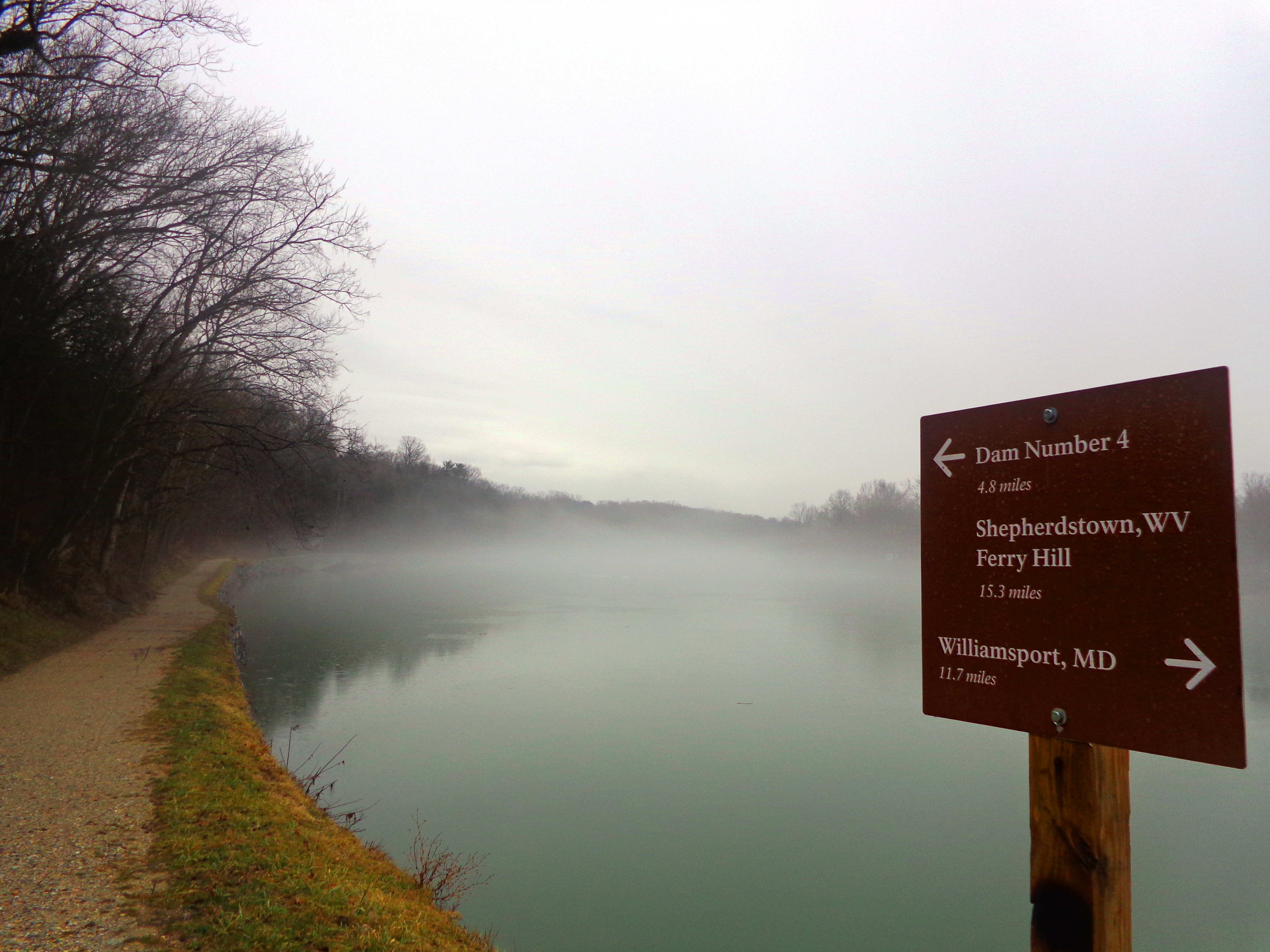
Preserving America's early transportation history, the C&O Canal began as a dream of passage to Western wealth. Operating for nearly 100 years the canal was a lifeline for communities along the Potomac River as coal, lumber, and agricultural products floated down the waterway to market. Today it endures as a pathway for discovering historical, natural, and recreational treasures.
From the National Park Service
History
The designation history for this site (every law, proclamation and order, and the administration behind each) is being researched and checked by the Library’s historians.
What to see and do
Activities
- Biking
- Road Biking
- Boating
- Boat Tour
- Camping
- Car or Front Country Camping
- Group Camping
- Fishing
- Freshwater Fishing
- Guided Tours
- Boat Tour
- Hiking
- Front-Country Hiking
- Horse Trekking
- Horseback Riding
- Ice Skating
- Paddling
- Junior Ranger Program
- Skiing
- Cross-Country Skiing
- Snowshoeing
- Wildlife Watching
- Birdwatching
- Shopping
Plan your visit
Hours
C&O Canal Towpath: The towpath is open 365 days a year.
Fees and passes
- Entrance - Private Vehicle — $20.00
- Entrance - Motorcycle — $15.00
- Entrance - Per Person — $10.00
- Entrance - Non-commercial Groups — $100.00
- Commercial Entrance - Motor Coach — $100.00
- Commercial Entrance - Van — $40.00
- Commercial Entrance - Mini-bus — $40.00
- Commercial Entrance - Sedan — $25.00
- Annual Entrance - Park — $35.00
The America the Beautiful pass covers entrance fees at federal recreation lands across all four agencies.
Getting there
The park has numerous access points. There is no main entrance. In Washington, DC, the C&O Canal begins at mile 0 in Georgetown near 29th St NW, south of M St, and runs alongside Canal Rd to the west. The entrance to Great Falls Tavern area is at MacArthur Blvd and Falls Rd in Potomac, MD. Park Headquarters and the Cushwa Basin Visitor Center are in Williamsport, MD off I-81 at exit 2. The Cumberland Terminus Visitor Center and mile 184.5 are off I-68 at exit 43C. See the maps page for more.
Visitor centers
- Brunswick Visitor Center
- Cumberland Visitor Center
- Georgetown Visitor Center
- Great Falls Tavern Visitor Center
- Williamsport Visitor Center
Campgrounds
- Bald Eagle Island Hiker-Biker Campsite (1 sites)
- Big Woods Hiker-Biker Campsite (1 sites)
- Calico Rocks Hiker-Biker Campsite (1 sites)
- Cacapon Junction Hiker-Biker Campsite (1 sites)
- Chisel Branch Hiker-Biker Campsite (1 sites)
- Cumberland Valley Hiker-Biker Campsite (1 sites)
- Devils Alley Hiker-Biker Campsite (1 sites)
- Evitts Creek Hiker-Biker Campsite (1 sites)
- Horsepen Branch Hiker-Biker Campsite (1 sites)
- Irons Mountain Hiker-Biker Campsite
- Horseshoe Bend Hiker-Biker Campsite (1 sites)
- Huckleberry Hill Hiker-Biker Campsite
- Indian Flats Hiker-Biker Campsite
- Indigo Neck Hiker-Biker Campsite (1 sites)
- Killiansburg Cave Hiker-Biker Campsite (1 sites)
- Marble Quarry Hiker-Biker Campsite (1 sites)
- Pigmans Ferry Hiker-Biker Campsite
- Potomac Forks Hiker-Biker Campsite
- Swains Lock Hiker-Biker Campsite (5 sites)
- Turtle Run Hiker-Biker Campsite (1 sites)
- Jordan Junction Hiker-Biker Campsite (1 sites)
- Little Pool Hiker-Biker Campsite
- Licking Creek Hiker-Biker Campsite
- Leopards Mill Hiker-Biker Campsite (1 sites)
- Opequon Junction Hiker-Biker Campsite (1 sites)
- North Mountain Hiker-Biker Campsite (1 sites)
- Purslane Run Hiker-Biker Campsite (1 sites)
- Stickpile Hill Hiker-Biker Campsite (1 sites)
- Sorrel Ridge Hiker-Biker Campsite (1 sites)
- Town Creek Hiker-Biker Campsite (1 sites)
- Antietam Creek Campground (20 sites) — reserve
- Fifteenmile Creek Campground (10 sites) — reserve
- Marsden Tract Group Campground (6 sites) — reserve
- Mccoys Ferry Campground (13 sites) — reserve
- Paw Paw Tunnel Campground (10 sites) — reserve
- Spring Gap Campground (14 sites) — reserve
- White Rock Hiker-Biker Campsite (1 sites)
Weather
The Washington, DC, area has a four-season Mid-Atlantic climate. Summertime is warm and humid, while winter can be cold and snowy. Precipitation averages 2-4” monthly, year-round. The climate gradually gets cooler and wetter further west along the canal where the elevation is higher.
Phone: 301-739-4200
Whose lands these are
These lands are the ancestral and present-day homelands of Native nations. A section on whose lands these are is being prepared with tribal review. In the meantime, Native Land Digital offers a starting point.
Photos
Pair it with
- Great Falls Park NPS · 1 miles
- Wolf Trap National Park for the Performing Arts NPS · 4 miles
- George Washington Memorial Parkway NPS · 6 miles
- Clara Barton National Historic Site NPS · 6 miles
- Glen Echo Park NPS · 6 miles
- Rock Creek Park NPS · 11 miles