Memorial · NPS · VA
Cape Henry Memorial Part of Colonial National Historical Park
Photo: NPS Photo, Memorial Cross
Alerts and conditions
Overview
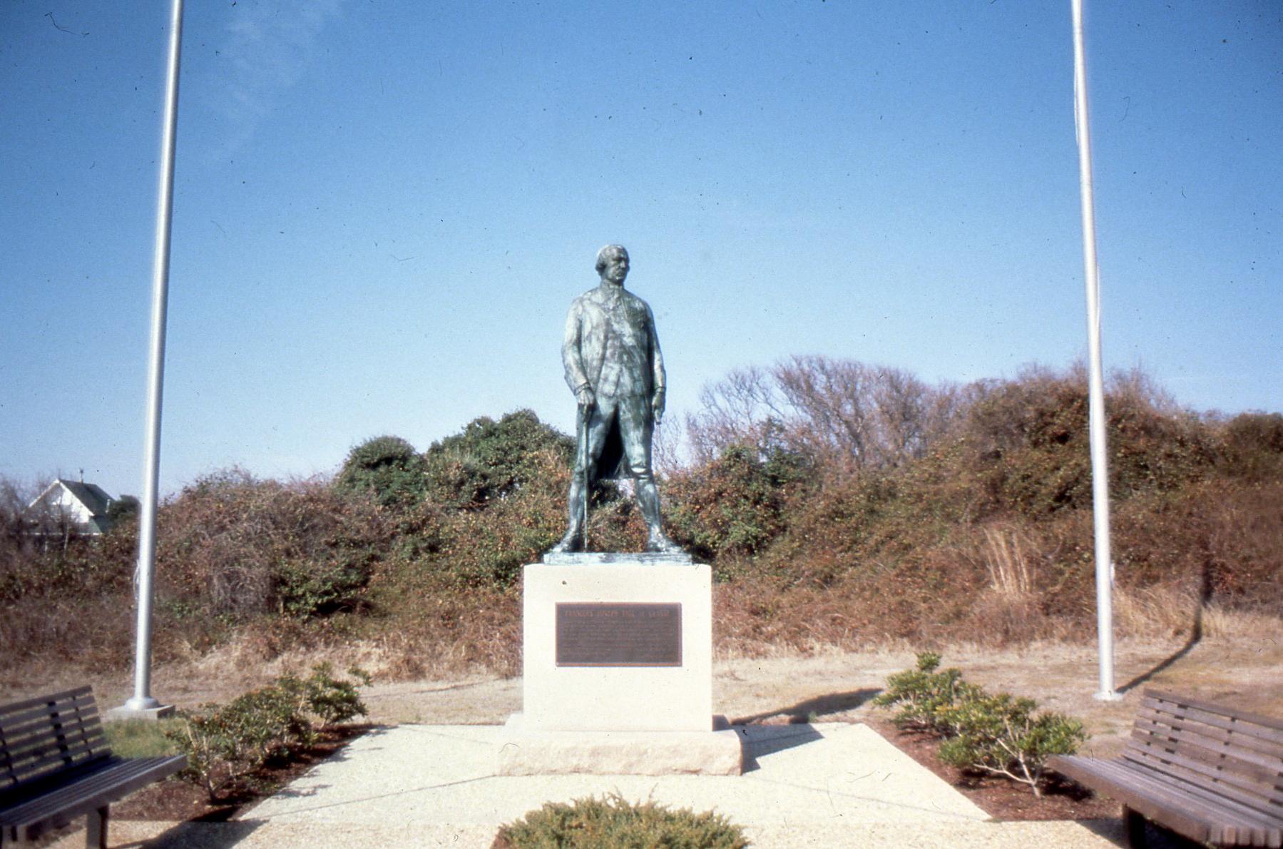
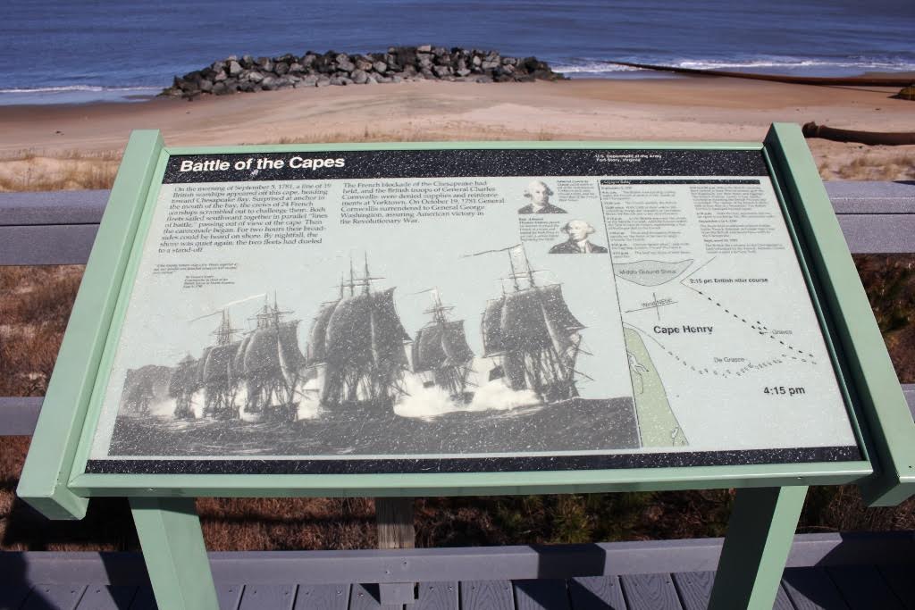
English colonists first landed here in April 1607, erected a wooden cross and gave thanks for a successful crossing to a new land. In 1781, Americans could watch from these same sand dunes the largest naval battle of the Revolutionary War. Our French Allies defeated a British fleet just off this shore to set the stage for General George Washington's victory at Yorktown.
From the National Park Service
History
The designation history for this site (every law, proclamation and order, and the administration behind each) is being researched and checked by the Library’s historians.
What to see and do
Activities
- Guided Tours
- Self-Guided Tours - Walking
Plan your visit
Hours
Cape Henry: Currently, Cape Henry Memorial is only open to those who have access to Joint Expeditionary Base Little Creek – Fort Story. You must be able to provide a military ID. This quarter acre of ground marks the approximate site of the first landing of the Jamestown settlers in Virginia.
Getting there
Located on the south side of the Chesapeake Bay, Cape Henry Memorial sits within the Joint Expeditionary Base Little Creek-Fort Story. From Interstate 64 E take exit 282 to merge onto US-13N/Northhampton Boulevard towards the Chesapeake Bay Bridge. Then take US-60 E/Shore Drive exit toward Beaches, this is the last exit before the Chesapeake Bay Bridge. Follow Shore Drive and turn left onto Atlantic Ave and proceed to Gate 8. Follow Atlantic Ave to Cape Henry Memorial.
Weather
Spring: Temperatures usually range from 40 F to 80 F. Rain is common. Summer: Temperatures usually range from 80 F to 100 F. Rain and sun are equally common. On very sunny days, be prepared with plenty of water . Fall: Temperatures usually range from 40 F to 70 F. Winter: Temperatures range from 40 F to 20 F. Be prepared with cold weather gear and numerous layers if you intend to be outside.
Phone: 7578982410
Whose lands these are
These lands are the ancestral and present-day homelands of Native nations. A section on whose lands these are is being prepared with tribal review. In the meantime, Native Land Digital offers a starting point.
Photos
Pair it with
- Fisherman Island National Wildlife Refuge FWS · 12 miles
- Eastern Shore of Virginia National Wildlife Refuge FWS · 16 miles
- Fort Monroe National Monument NPS · 17 miles
- Back Bay National Wildlife Refuge FWS · 19 miles
- Plum Tree Island National Wildlife Refuge FWS · 23 miles
- Mackay Island National Wildlife Refuge FWS · 28 miles