National Seashore and Lakeshore · NPS · NC
Cape Hatteras National Seashore
Photo: NPS Photo, Cape Hatteras Lighthouse
Alerts and conditions
Park Closure Closure of Billy Mitchell Airport for Repaving Project
The Billy Mitchell Airport (HSE) is closed to accommodate a runway pavement rehabilitation project. The project will provide full resurfacing of paved areas, new reflective paint, and new tie-downs and anchors, improving visitor safety and enhancing the overall visitor experience.
Park Closure Project Safety Closure in Place Near Southernmost Groin in Buxton
Public access is closed for 300 feet north and south of a groin repair project site in Buxton, as well as the adjacent ocean area to the east. Surfers, swimmers, and all other recreationists should stay at least 300 feet from the southernmost groin area for safety purposes.
Overview
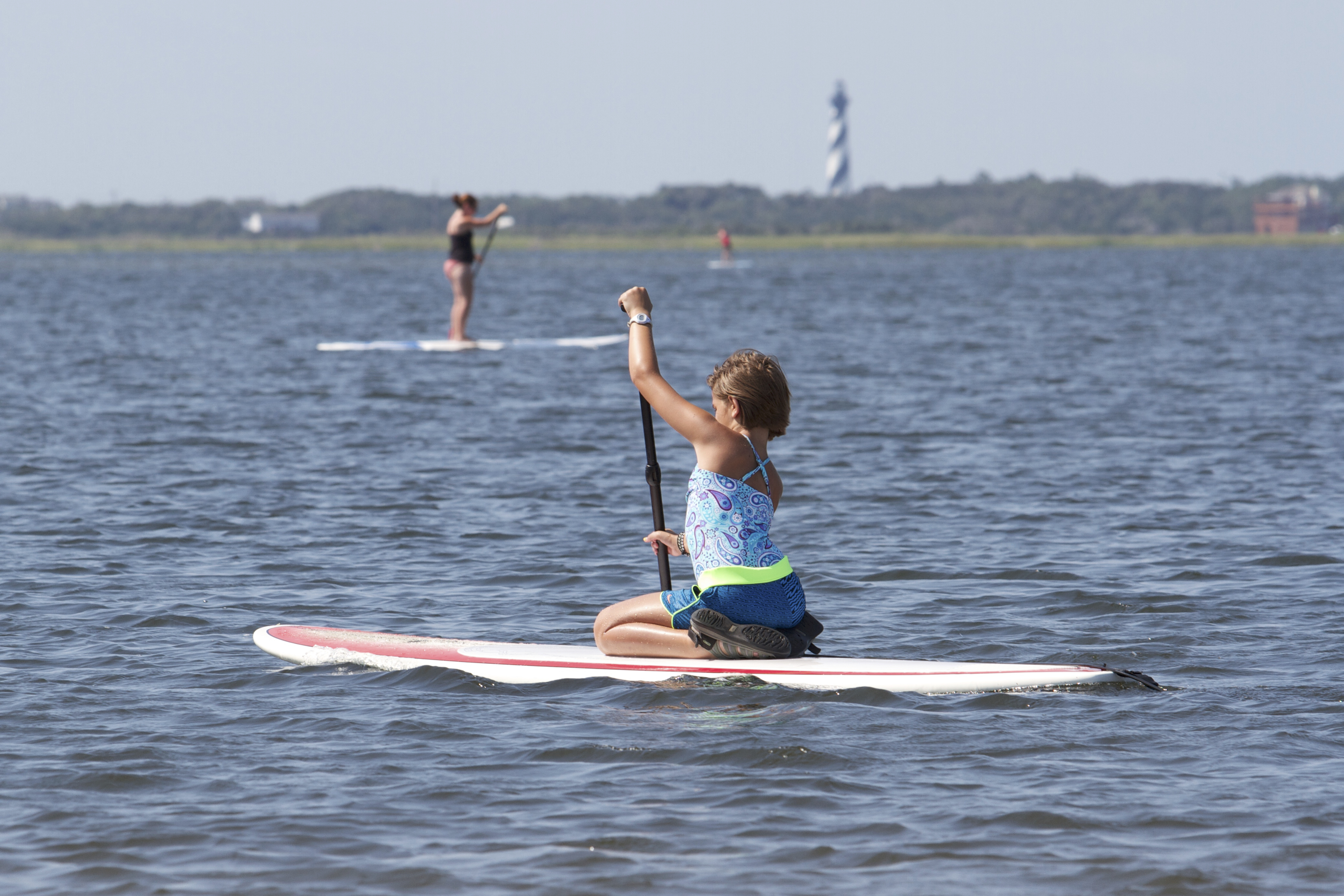
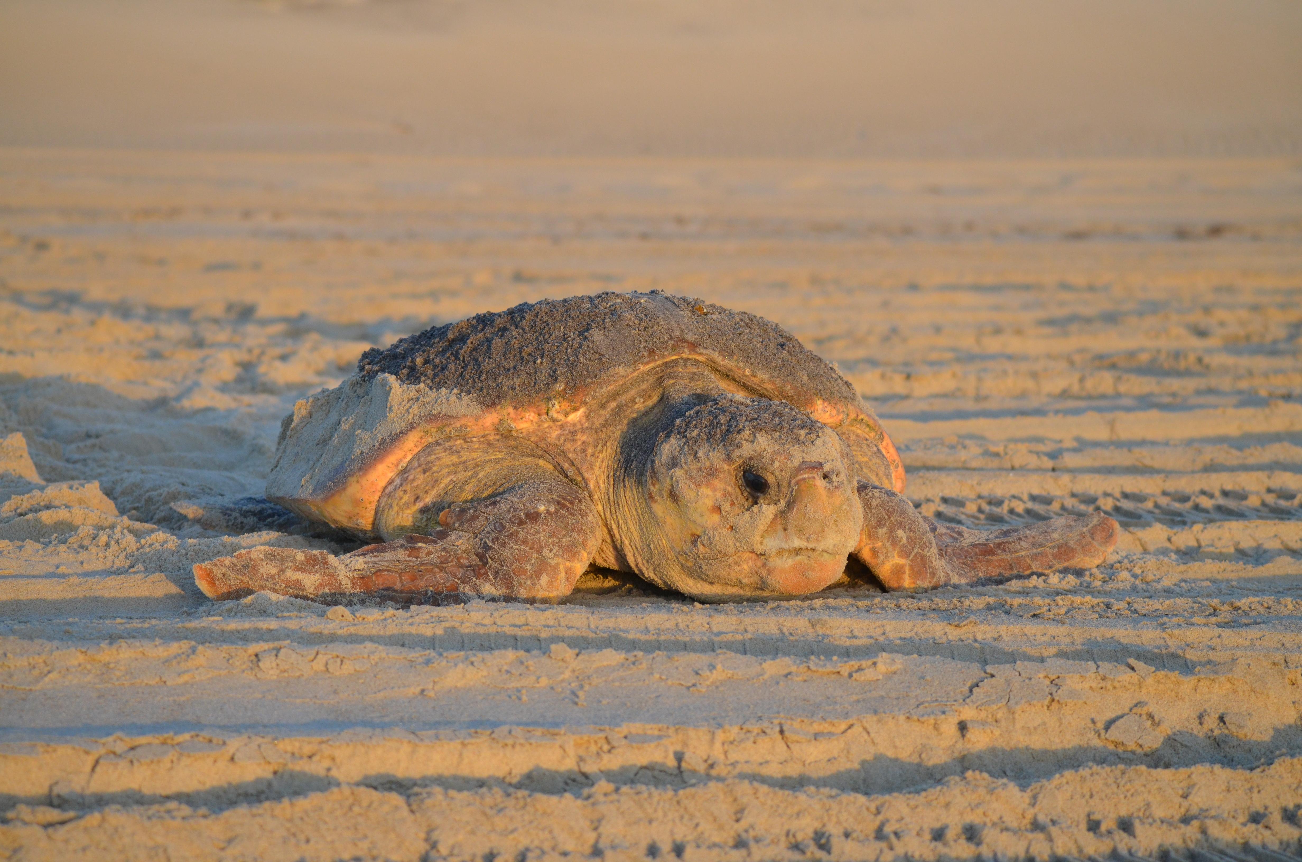
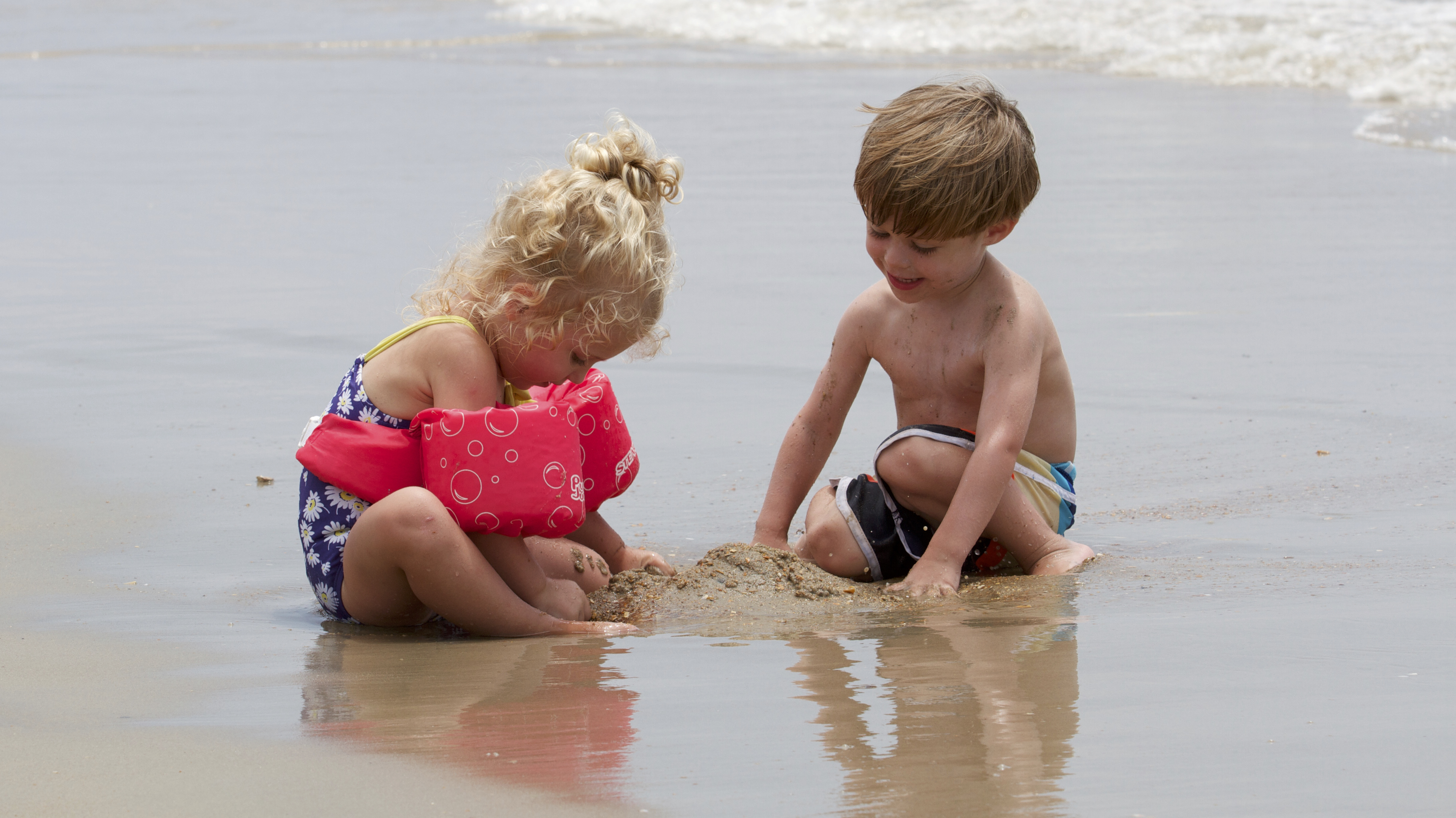
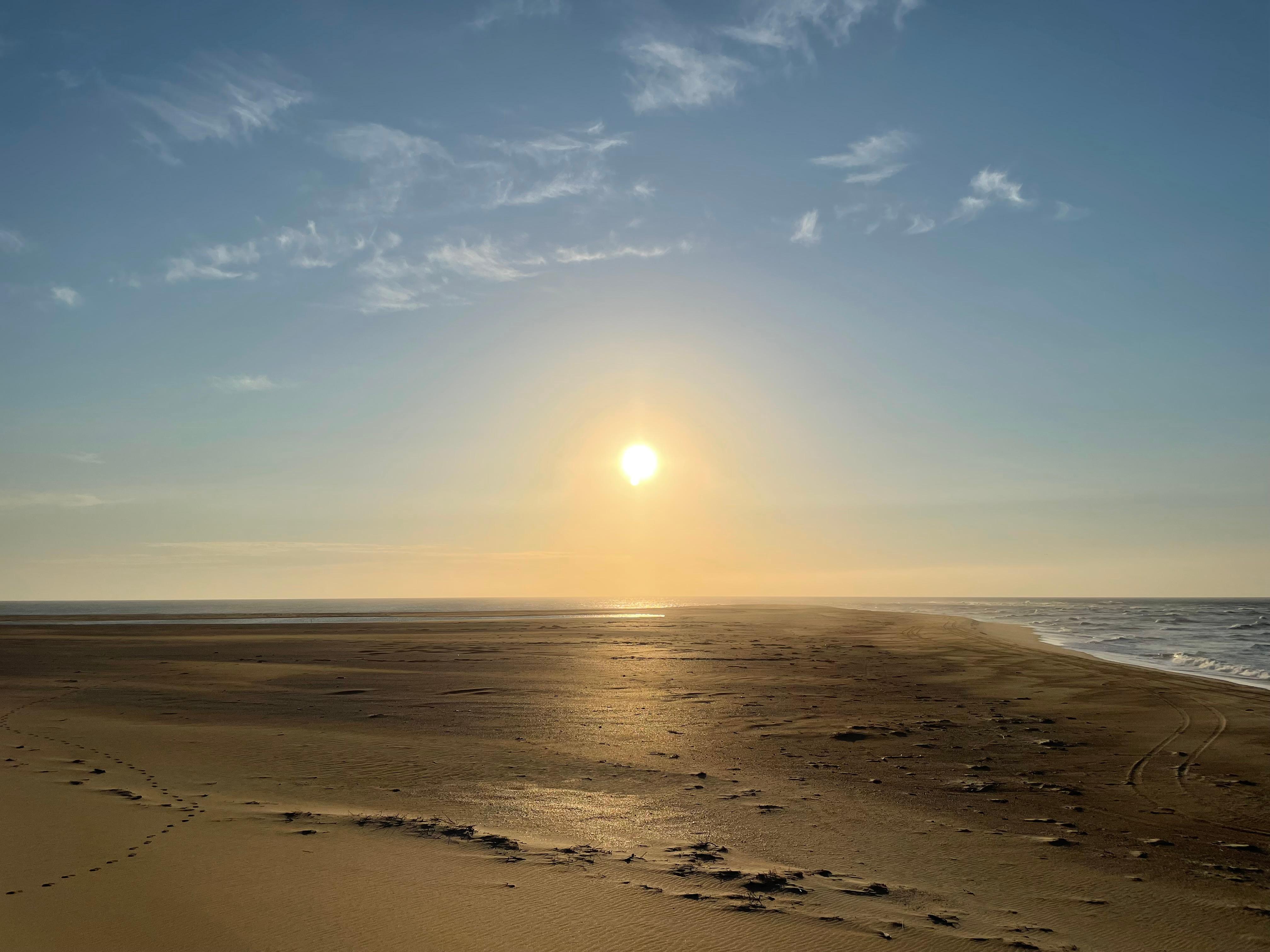
The sound of ocean waves, the starry night sky, or the calm of the salt marshes, you can experience it all. Shaped by the forces of water, wind, and storms these islands are ever changing. The plants, wildlife, and people who live here adapt continually. Whether you are enjoying the beach, kayaking the sound, or climbing the Cape Hatteras Lighthouse there is something for everyone to explore!
From the National Park Service
History
The designation history for this site (every law, proclamation and order, and the administration behind each) is being researched and checked by the Library’s historians.
What to see and do
Activities
- Auto and ATV
- Auto Off-Roading
- Astronomy
- Stargazing
- Camping
- Car or Front Country Camping
- Group Camping
- RV Camping
- Fishing
- Saltwater Fishing
- Food
- Picnicking
- Hiking
- Hunting and Gathering
- Hunting
- Paddling
- Canoeing
- Kayaking
- Junior Ranger Program
- Snorkeling
- Surfing
- Swimming
- Saltwater Swimming
- Wildlife Watching
- Birdwatching
- Museum Exhibits
- Shopping
- Bookstore and Park Store
Plan your visit
Hours
Park Grounds: The grounds of Cape Hatteras National Seashore are always open for visitors, though there are resource closures that seasonally affect different parts of the beach.
Getting there
Cape Hatteras National Seashore is located along NC-12 in the Outer Banks of North Carolina. You can reach the seashore from the north by following US 158 to Nag Heads, NC and the turn-off to NC-12 and Cape Hatteras National Seashore. From the south, you can take NCDOT ferries from Swanquarter, NC and Cedar Island, NC to the village of Ocracoke on Ocracoke Island. The provided physical address is the location of the Cape Hatteras Lighthouse, roughly in the middle of the park.
Visitor centers
- Museum of the Sea
- Bodie Island Visitor Center
- Ocracoke Island Discovery Center
- Whalebone Junction Information Center
- Hatteras Island Weather Bureau Station
Campgrounds
- Frisco Campground (117 sites) — reserve
- Cape Point Campground (202 sites) — reserve
- Ocracoke Campground (135 sites) — reserve
- Oregon Inlet Campground (107 sites) — reserve
Weather
The weather along the Outer Banks varies throughout the year and even throughout the day. Please check the National Weather Service information at http://www.weather.gov/mhx/ for forecast information.
Phone: 2524732111
Whose lands these are
These lands are the ancestral and present-day homelands of Native nations. A section on whose lands these are is being prepared with tribal review. In the meantime, Native Land Digital offers a starting point.
Photos
Pair it with
- Pea Island National Wildlife Refuge FWS · 21 miles
- Alligator River National Wildlife Refuge FWS · 26 miles
- Mattamuskeet National Wildlife Refuge FWS · 30 miles
- Fort Raleigh National Historic Site NPS · 36 miles
- Swanquarter National Wildlife Refuge FWS · 38 miles
- Wright Brothers National Memorial NPS · 42 miles