Historic Site and Historical Park · NPS · MO, AR, OK, TX, NM, AZ, CA
Butterfield Overland National Historic Trail
Photo: NPS Photo, Presidio Chapel of San Elizario
Alerts and conditions
Overview
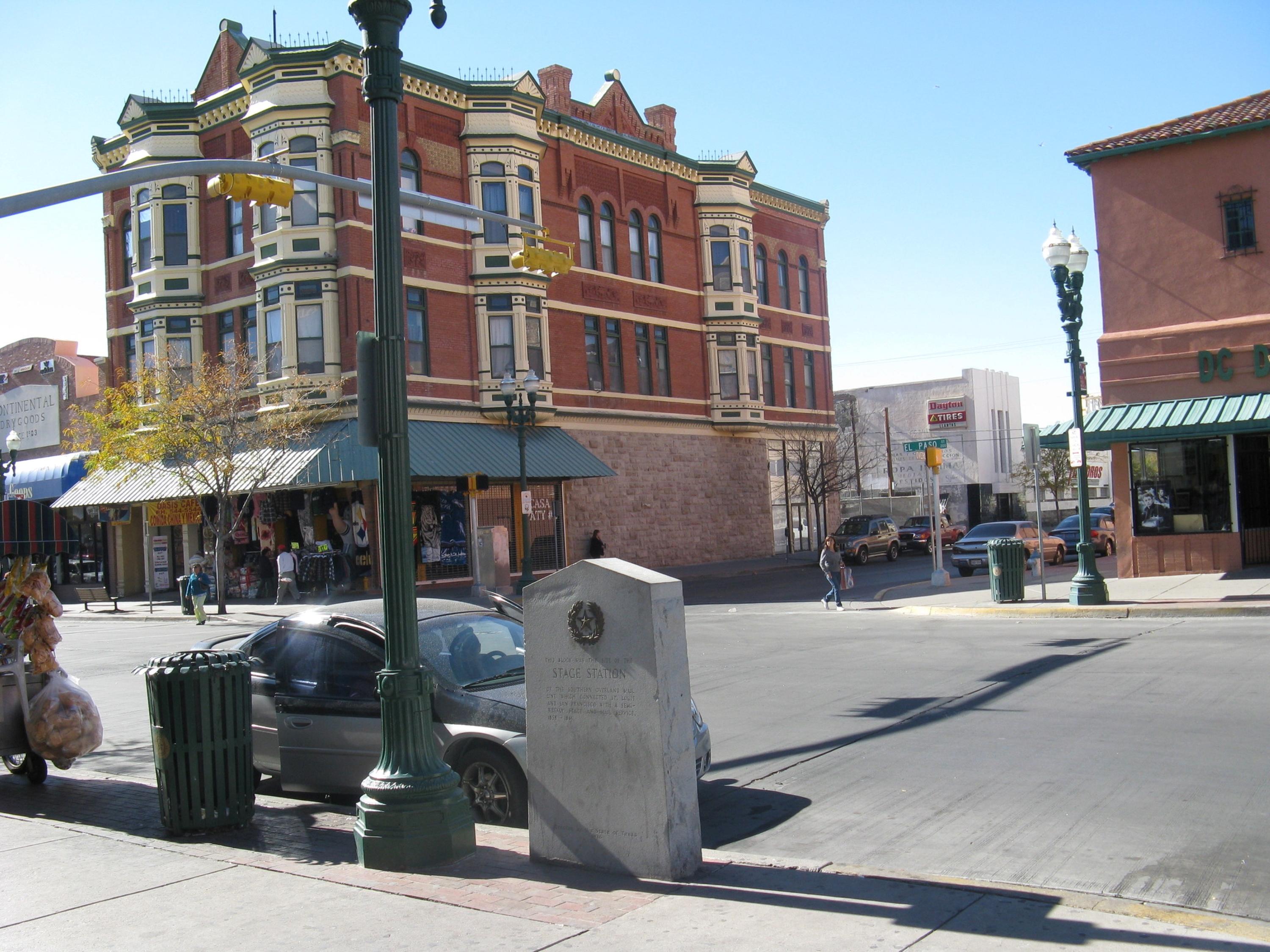
In 1857, businessman and transportation entrepreneur John Butterfield was awarded a contract to establish an overland mail route between the eastern United States and growing populations in the Far West. What became known as the Butterfield Overland Trail made an arcing sweep across the southern rim of the country. Stagecoaches left twice a week carrying passengers, freight, and mail.
From the National Park Service
History
The designation history for this site (every law, proclamation and order, and the administration behind each) is being researched and checked by the Library’s historians.
Plan your visit
Hours
Butterfield Overland National Historic Trail: The Butterfield Overland National Historic Trail is not a clearly marked hiking trail. Instead, it is a corridor that passes through communities, urban areas, public lands, and Wilderness. The route travels across a variety of land ownerships and management, including private land. Each location varies as to the hours of operation and access. Please contact individual trail sites before your visit for more information.
Getting there
Those portions of the Butterfield Overland National Historic Trail authorized by Congress include nearly 3,300 miles of historic trail.
Visitor centers
Weather
Due to the length of the trail, be sure to consult local weather sources for the region you'll be visiting. Check out the forecast with the National Weather Service and search for the area you'd like to visit: weather.gov
Phone: N/A
Whose lands these are
These lands are the ancestral and present-day homelands of Native nations. A section on whose lands these are is being prepared with tribal review. In the meantime, Native Land Digital offers a starting point.
Photos
Pair it with
- Prehistoric Trackways National Monument BLM · 9 miles
- Organ Mountains - Desert Peaks National Monument BLM · 22 miles
- San Andres National Wildlife Refuge FWS · 32 miles
- Chamizal National Memorial NPS · 40 miles
- White Sands National Park NPS · 44 miles
- Lincoln National Forest USFS · 77 miles