National Park · NPS · UT
Arches National Park
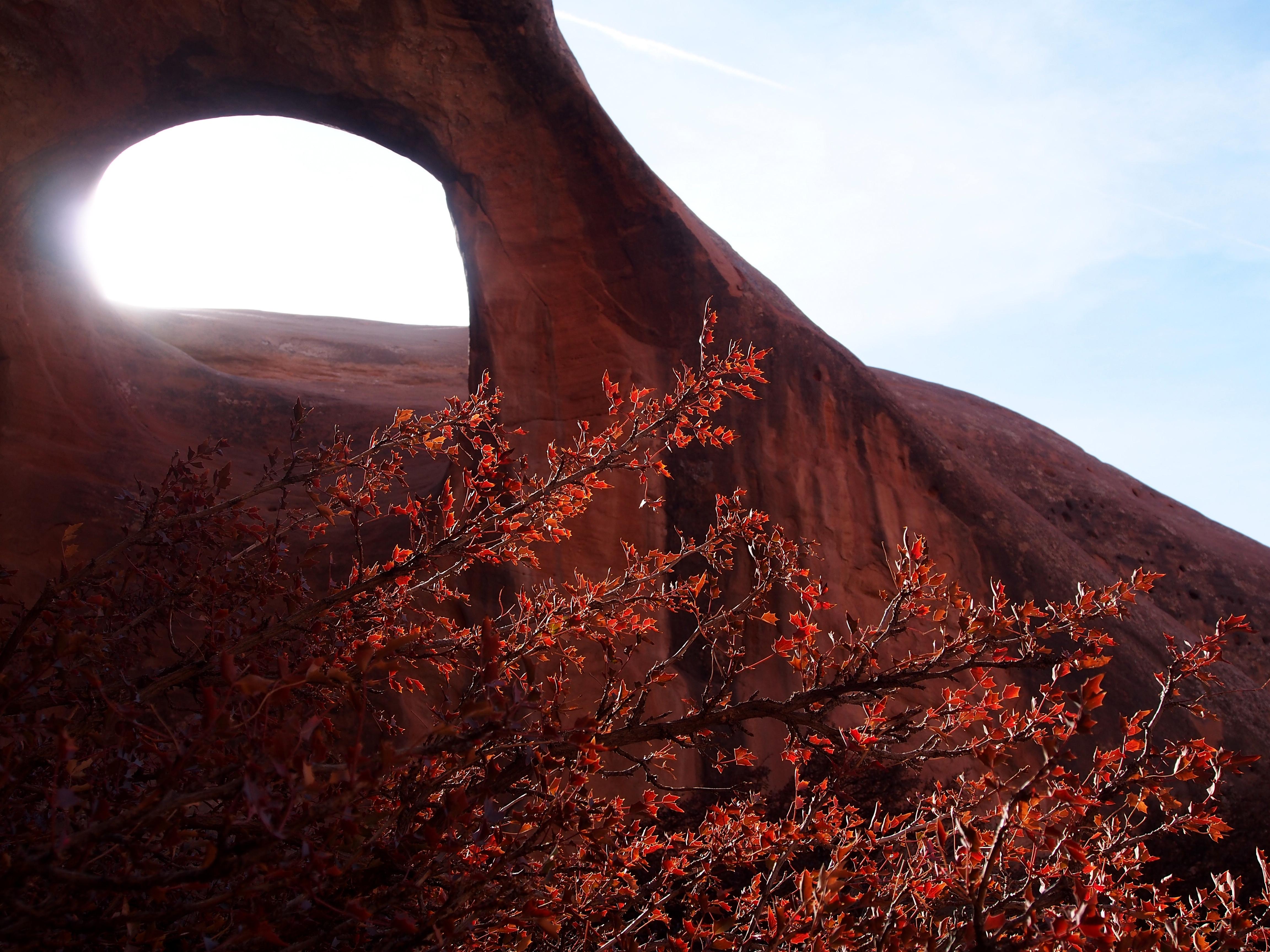
Photo: NPS Photo, Double O Arch
Alerts and conditions
Information Trip-planning tips for 2026
Planning to visit Arches this year? To ensure the best experience, please anticipate potentially long wait times at the entrance station. If trailhead parking is full, plan to return a little later. Please avoid parking on vegetation and roadways to help preserve this beautiful place for everyone to enjoy.
Overview
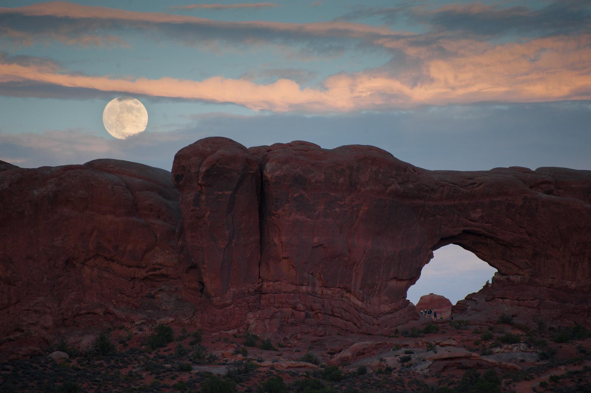
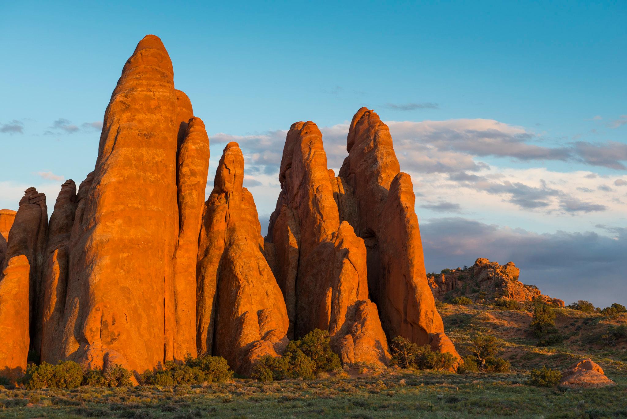
Discover a landscape of contrasting colors, land forms, and textures unlike any other. The park has over 2,000 natural stone arches, hundreds of soaring pinnacles, massive rock fins, and giant balanced rocks. This red-rock wonderland will amaze you with its formations, refresh you with its trails, and inspire you with its sunsets.
From the National Park Service
History
The designation history for this site (every law, proclamation and order, and the administration behind each) is being researched and checked by the Library’s historians.
What to see and do
Activities
- Arts and Culture
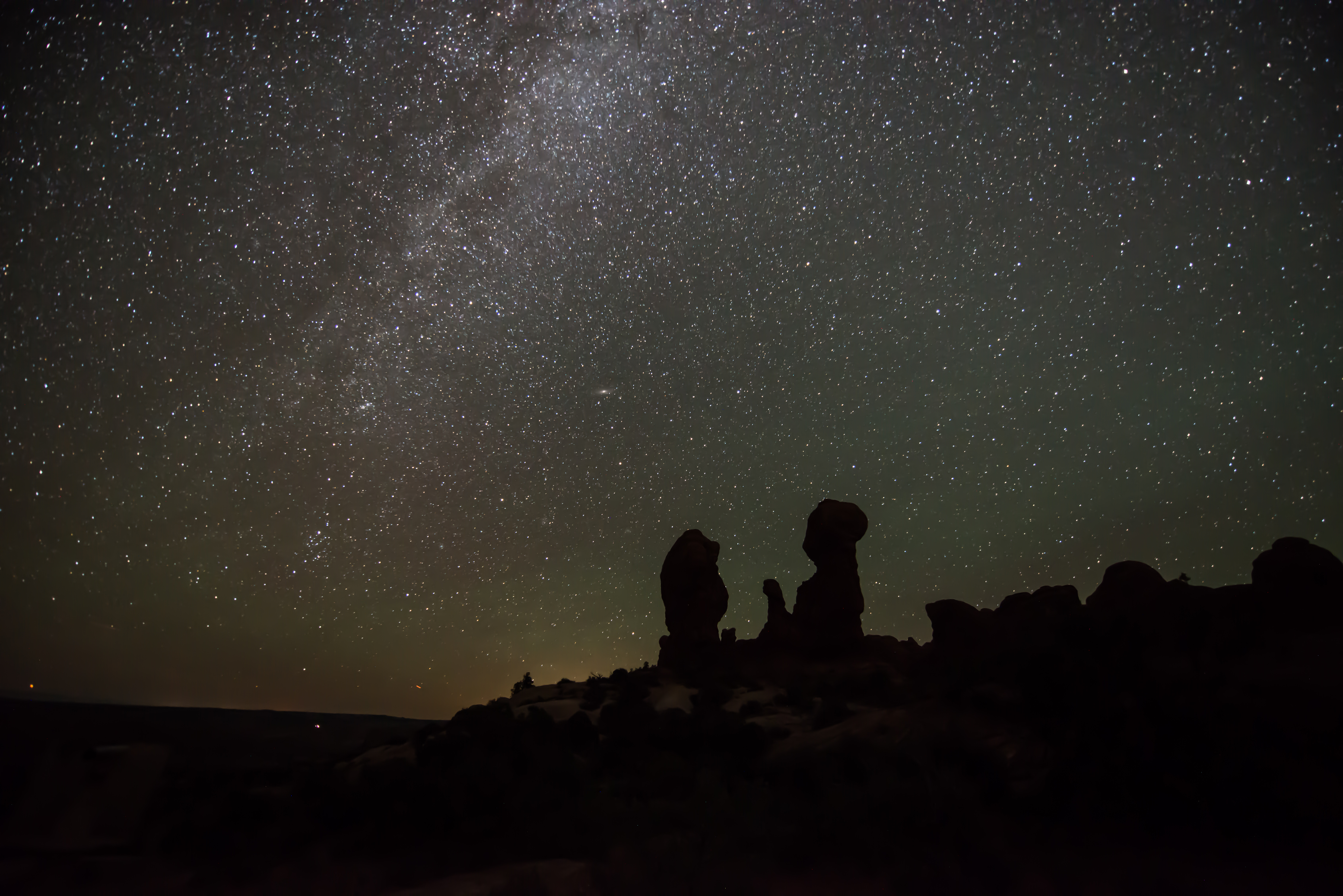
- Astronomy
- Stargazing
- Biking
- Camping
- Backcountry Camping
- Car or Front Country Camping
- Group Camping
- Canyoneering
- Climbing
- Rock Climbing
- Guided Tours
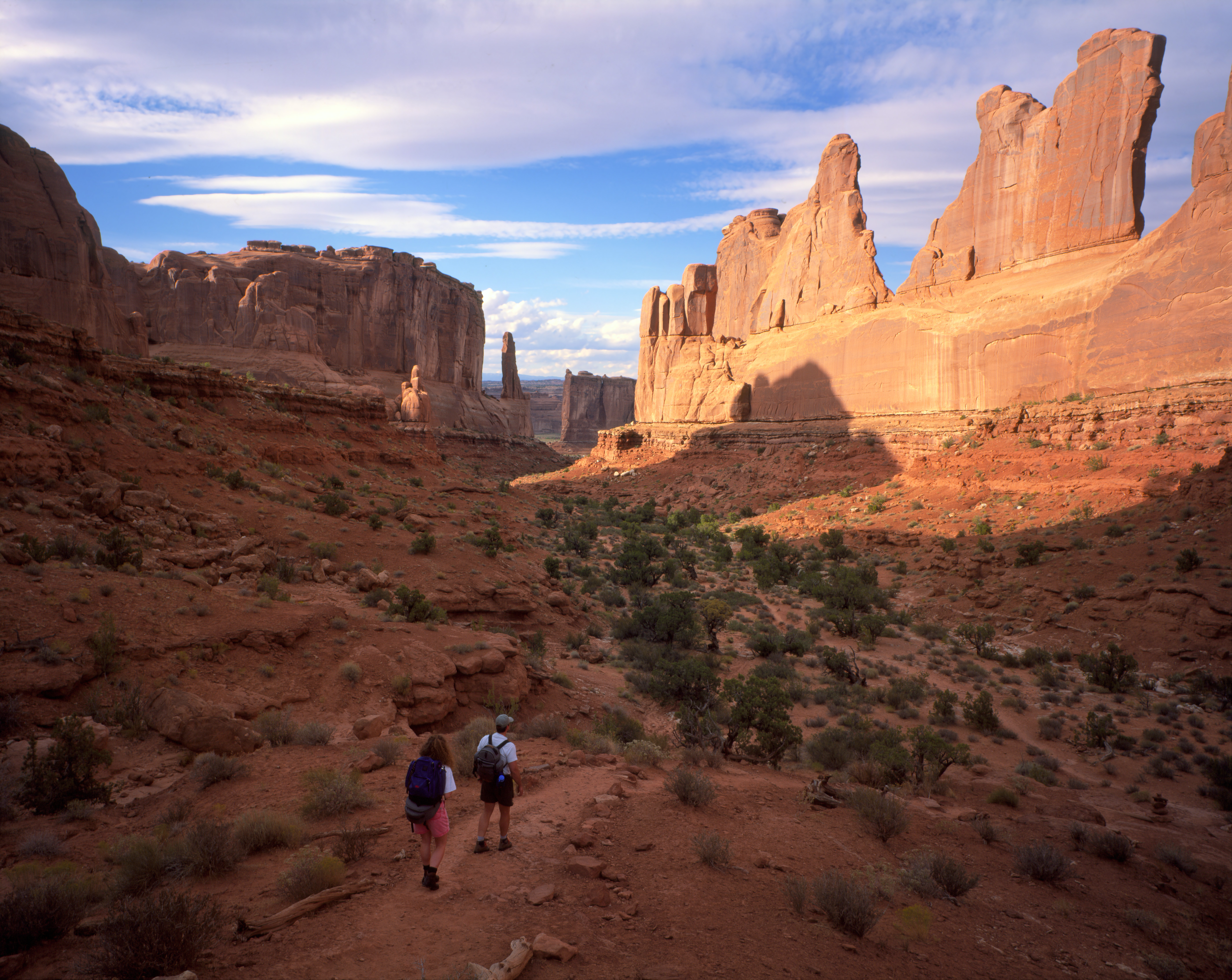
- Hiking
- Horse Trekking
- Horseback Riding
- Junior Ranger Program
- Shopping
- Bookstore and Park Store
Plan your visit
Hours
Park Hours: Arches National Park is generally open 24 hours a day, year-round. Fees apply. The park is very busy between March and October. To avoid traffic, we recommend entering the park before 8 am or after 3 pm.
Fees and passes
- Entrance - Private Vehicle — $30.00
- Entrance - Motorcycle — $25.00
- Entrance - Per Person — $15.00
- Annual Entrance - Park — $55.00
The America the Beautiful pass covers entrance fees at federal recreation lands across all four agencies.
Getting there
Arches National Park is located in southeast Utah, five miles north of Moab on US 191. From Moab, Utah, drive five miles north on Main Street/US 191. Turn right at the stoplight. From Interstate 70, take exit 182 (Crescent Junction), then drive south 28 miles on US 191. Turn left at the stoplight.
Visitor centers
Campgrounds
- Devils Garden Campground (51 sites) — reserve
Weather
Arches is part of the Colorado Plateau, a "high desert" region that experiences wide temperature fluctuations, sometimes over 40 degrees in a single day. The temperate (and most popular) seasons are spring (April-May) and fall (mid-September-October), when daytime highs average 60 to 80 F and lows average 30 to 50 F. Summer temperatures often exceed 100 F, making strenuous exercise difficult. Winters are cold, with highs averaging 30 to 50 F, and lows averaging 0 to 20 F.
Phone: 4357192299
Whose lands these are
These lands are the ancestral and present-day homelands of Native nations. A section on whose lands these are is being prepared with tribal review. In the meantime, Native Land Digital offers a starting point.
Photos

Pair it with
- Canyonlands National Park NPS · 37 miles
- McInnis Canyons National Conservation Area BLM · 45 miles
- Colorado National Monument NPS · 53 miles
- Dominguez/Escalante National Conservation Area BLM · 65 miles
- Uncompahgre National Forest USFS · 66 miles
- Jurassic National Monument BLM · 73 miles