National Recreation Area · NPS · TX
Amistad National Recreation Area
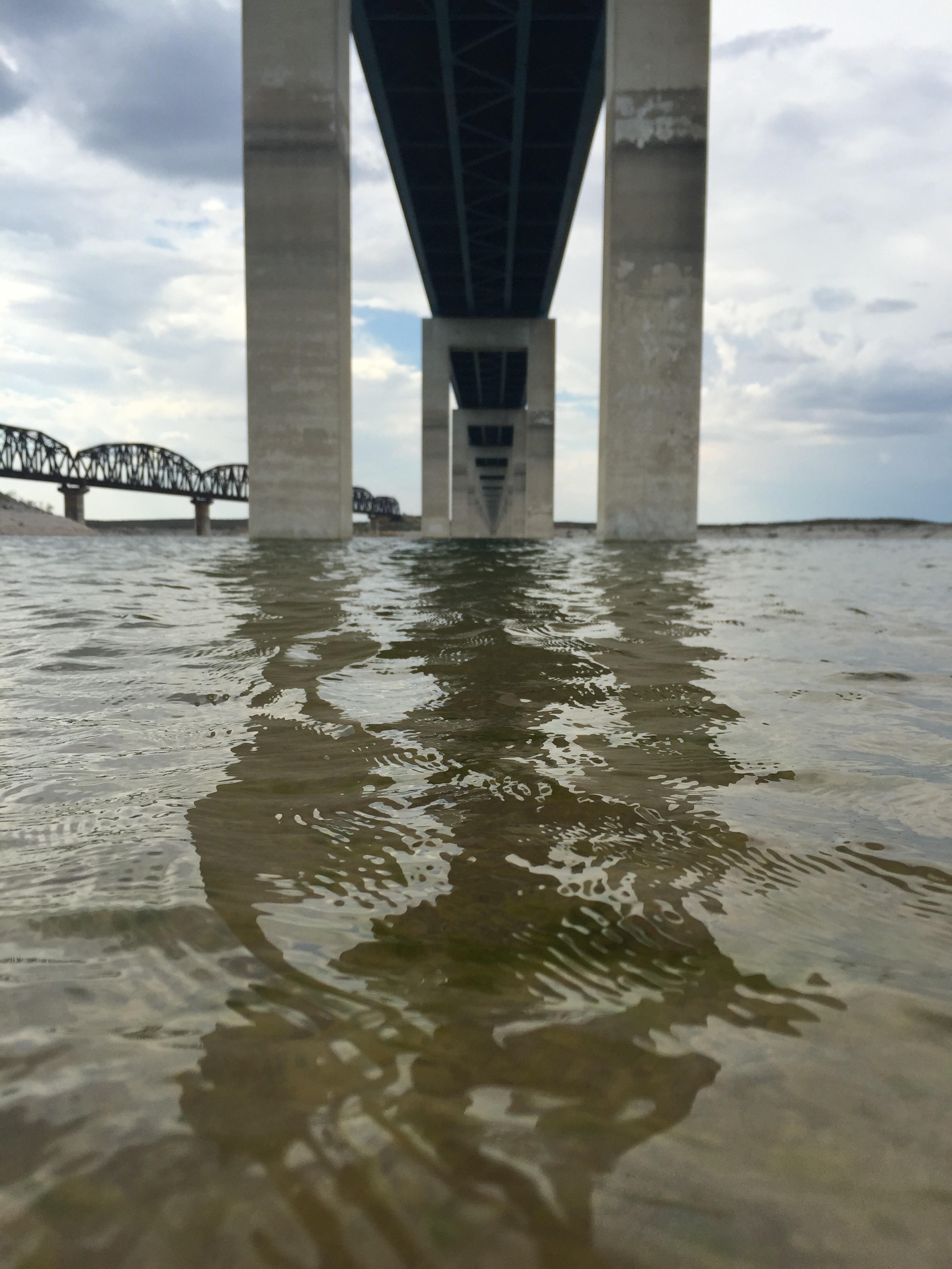
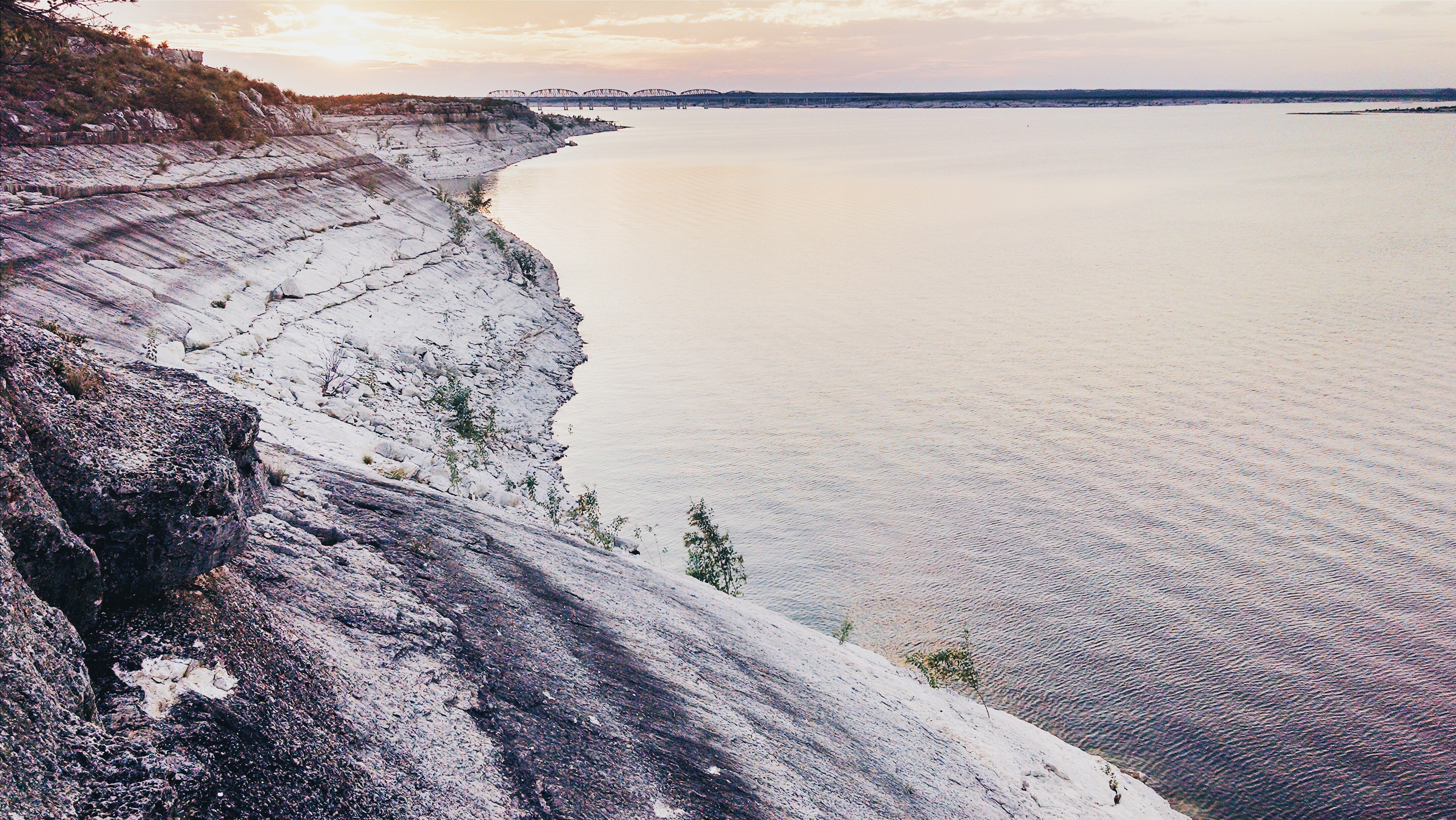
Photo: NPS / E Paola, Amistad Reservoir and Hwy 90 Bridge
Alerts and conditions
Park Closure Only Left Side of Rough Canyon and DE Boat Ramps Are Open - Rest Are Closed
Due to low water level, only the left side Rough Canyon and Diablo East boat ramps are open. Please use caution with Spur 406 and Spur 454 launches, as the water may be too shallow to launch most boats. To see a list of open ramps, click on "more."
Park Closure Diablo East Marina Cove, Scuba Cove, and Walkway Access Are Closed
The Diablo East Marina Cove, Scuba Cove, and walkway access are closed because of the presence of excessive docking material, unsafe walkway and dock, and unstable, loose ground. The area will reopen once these hazards have been corrected.
Caution Help Prevent Aquatic Invasive Species (AIS) Infestation
A number of lakes are infested with an array of aquatic invasive species that damage natural ecosystems and waterways. Boaters are advised to Clean, Drain, and Dry all boats and equipment every time they leave the water.
Weather Flash Flood Warning issued November 8 at 7:46PM CST until November 9 at 12:00AM CST by NWS Austin/San Antonio TX
FFWEWX
The National Weather Service in Austin/San Antonio has extended the
* Flash Flood Warning for...
Edwards County in south central Texas...
Northwestern Kinney County in south central Texas...
Northeastern Val Verde County in south central Texas...
* Until midnight CST.
* At 746 PM CST, emergency management and TxDot reports flooding
across the warned area with several roads flooded and closed,
including near US highway 377, SH 55 and CR 450. A water rescue was
reported this evening in the Newby Hills subdivision along CR 450.
Areas near Kickapoo Cavern State Park and Devils River Natural Area
- Del Norte have flooding as well. Between 2 and 5 inches of rain
have fallen over the past 24 to 36 hours. Additional rainfall
amounts up to 1 inch are possible in the warned area.
HAZARD...Life threatening flash flooding. Heavy rain producing
flash flooding.
SOURCE...Emergency management reported.
IMPACT...Life threatening flash flooding of creeks and streams,
urban areas, highways, streets and underpasses.
* Some locations that will experience flash flooding include...
Rocksprings, Loma Alta, Carta Valley, Vinegarone, Kickapoo Cavern
State Park, Devils River State Nat Area Del
What to do: Turn around, don't drown when encountering flooded roads. Most flood deaths occur in vehicles. In hilly terrain there are hundreds of low water crossings which are potentially dangerous in heavy rain. Do not attempt to cross flooded roads. Find an alternate route. Flooding is occurring or is imminent. It is important to know where you are relative to streams, rivers, or creeks which can become killers in heavy rains. Campers and hikers should avoid streams or creeks.
Read the full alert · Until Nov 9, 2026, 6:00 AM
Overview
An oasis in the desert, Amistad National Recreation Area consists of the US portion of the International Amistad Reservoir. Amistad, a Spanish word meaning "friendship," is known for excellent water-based recreation, camping, hiking, and rich cultural history dating back nearly 5,000 years. Amistad is also home to a wide variety of plant and animal life both above and below the water.
From the National Park Service
History
The designation history for this site (every law, proclamation and order, and the administration behind each) is being researched and checked by the Library’s historians.
What to see and do
Activities
- Boating
- Motorized Boating
- Sailing
- Jet Skiing
- Camping
- Backcountry Camping
- Canoe or Kayak Camping
- Car or Front Country Camping
- Group Camping
- RV Camping
- Fishing
- Freshwater Fishing
- Hiking
- Front-Country Hiking
- Hunting and Gathering
- Hunting
- Paddling
- Canoeing
- Kayaking
- Junior Ranger Program
- SCUBA Diving
- Swimming
- Freshwater Swimming
- Water Skiing
- Wildlife Watching
- Birdwatching
- Park Film
- Shopping
- Bookstore and Park Store
Plan your visit
Hours
Amistad National Recreation Area: Amistad National Recreation Area is open throughout the year. However, some areas may experience temporary closures because of low water levels. Please see our Operation Hours and Seasons and Current Conditions pages for more specific details.
Getting there
Amistad National Recreation Area is located on the US-Mexico border 7 miles west of the Del Rio city limit and 6 miles west of the US Highway 90 and 277 North intersection. The park is 160 miles west of San Antonio on US Highway 90 and about 230 miles east of Big Bend National Park via US Highway 90 and US Highway 385. Access to Amistad from the north or south is via US 277/377. The visitor center address is 10477 Highway 90 West, Del Rio, TX 78840.
Visitor centers
Campgrounds
- Governors Landing Campground (15 sites)
- Rough Canyon Campground (4 sites)
- San Pedro Campground (41 sites) — reserve
- Spur 406 Campground (6 sites)
- 277 North Campground (18 sites) — reserve
- Rock Quarry Group Campsite (1 sites) — reserve
Weather
Weather in Southwest Texas can change in a matter of minutes. It is best to check the local weather report. Amistad National Recreation Area usually has hot summers and mild winters. For more information, please visit the park's Current Conditions page at https://www.nps.gov/amis/planyourvisit/conditions.htm.
Phone: (830) 775-7491
Whose lands these are
These lands are the ancestral and present-day homelands of Native nations. A section on whose lands these are is being prepared with tribal review. In the meantime, Native Land Digital offers a starting point.
Photos
Pair it with
- Rio Grande Wild & Scenic River NPS · 78 miles
- Big Bend National Park NPS · 130 miles